Plizio Visual Lab
Saryarka
Weather…
Water temperature…
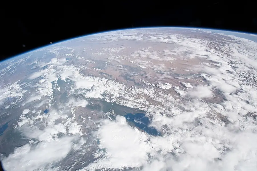
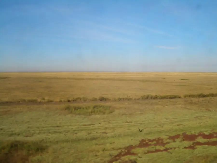
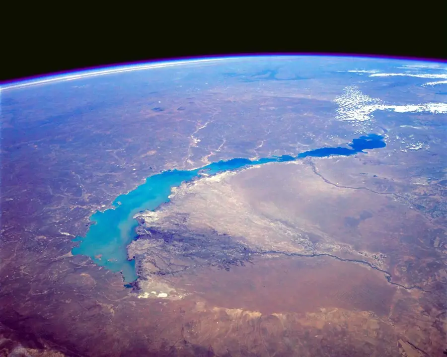
Saryarka, the Kazakh Uplands, is a vast steppe and lake landscape in northern and central Kazakhstan. This area was declared a UNESCO World Heritage site in 2008 for its global importance as a habitat for migratory birds and its unique steppe ecosystems. The site comprises two protected areas: the Naurzum Nature Reserve and the Korgalzhyn Nature Reserve. Saryarka's wetlands are a crucial crossroads for the Central Asian and Siberian-East African flyways of waterbirds, hosting millions of birds, including rare species like the pink flamingo, Dalmatian pelican, and the critically endangered Siberian crane. The landscape is characterized by vast, flat steppes interspersed with countless fresh and saltwater lakes. This combination of steppe and wetlands creates a unique biodiversity, making Saryarka one of the most important ecological areas in Central Asia.
📋 Practical info
Geography
Explore nearby
Notable places around
Route planner — Car & Motorhome
Where do you start? We build the route here, with stops and country notes along the way.
© OpenStreetMap contributors · OpenRouteService
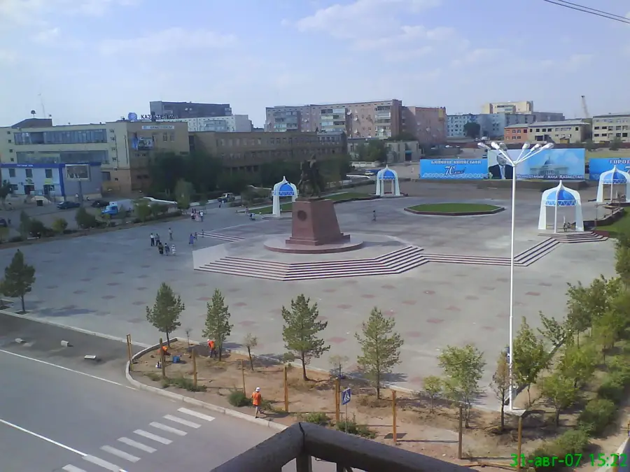
Sights in the town Saryarka (1)
Sights nearby
Frequently asked questions
What does the name Saryarka mean?
Why is Saryarka part of the UNESCO World Heritage?
What birds breed here?
What landscape forms dominate?
Can you visit Saryarka?
Saryarka: where is it located?
Saryarka: why is it worth visiting?

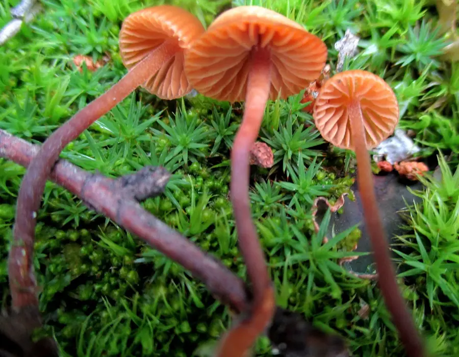
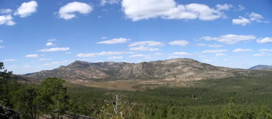
Nature
More places