Plizio Visual Lab
Slieve Gullion
Weather…
Water temperature…
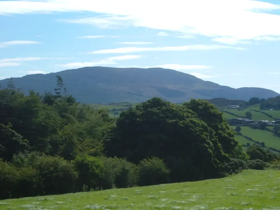
Slieve Gullion, rising to 573 metres, is the highest peak in County Armagh and the centrepiece of the eponymous ring dyke complex. Geologically, it represents the eroded remains of a Tertiary volcano, with the central mountain surrounded by a distinct ring of hills. The area is designated as an Area of Outstanding Natural Beauty (AONB) and gives a unique tapestry of heathland and deciduous forests. The summit features the highest passage tomb in Ireland, a Bronze Age monument deeply entwined with Celtic mythology and the legendary hero Fionn mac Cumhaill. Another notable feature is the small lake near the summit, Calliagh Berra's Lough, which is steeped in local folklore and mystery. Archaeological evidence indicates that the region has been inhabited for thousands of years. Today, Slieve Gullion Forest Park is a significant hub for tourism and environmental education in Northern Ireland.
- Location: Ireland
- Top sights: Slieve Gullion North Cairn · Slieve Gullion South Cairn · Ballykeel Dolmen
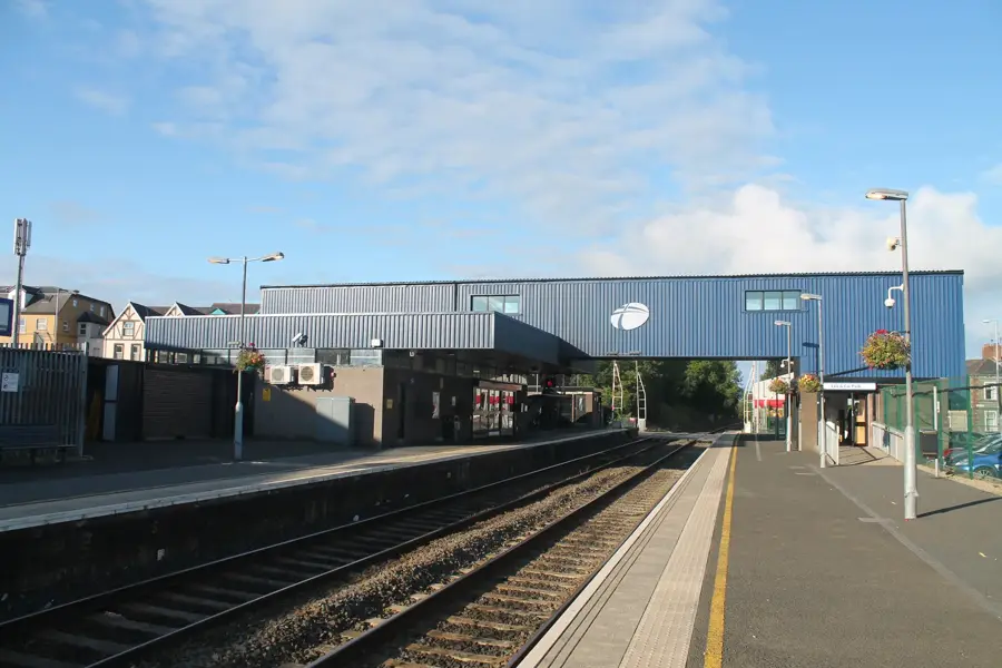
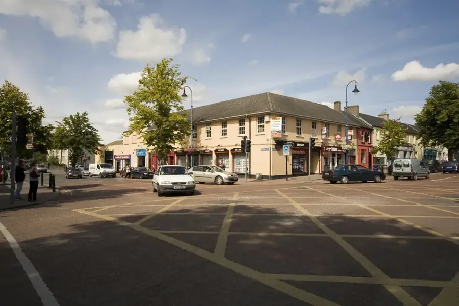
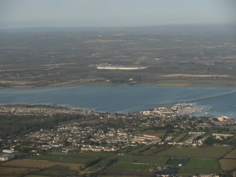
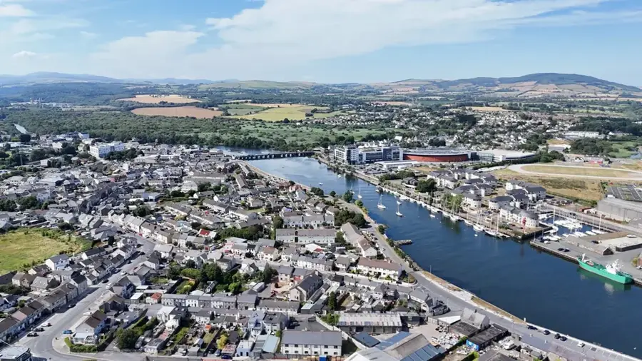
- Nearby: Warrenpoint (13 km)
Best time to visit & climate
The most pleasant time to visit is Jun–Aug.
| Jan | Feb | Mar | Apr | May | Jun | Jul | Aug | Sep | Oct | Nov | Dec | |
|---|---|---|---|---|---|---|---|---|---|---|---|---|
| Avg °C | 5 | 5 | 6 | 8 | 11 | 13 | 15 | 15 | 13 | 11 | 8 | 6 |
| Rain mm | 92 | 74 | 76 | 63 | 74 | 85 | 90 | 101 | 82 | 108 | 106 | 97 |
📋 Practical info
Geography
Facts
- The elevation of Slieve Gullion is 573 metres.
- The Ring of Gullion formation was created about 60 million years ago.
- The passage tomb on the summit dates back to the Bronze Age.
- It is the highest point in County Armagh.
- Slieve Gullion Forest Park covers over 2,000 hectares of land.
- In mythology, it is famed as the seat of the Cailleach Bhéara.
Explore nearby
Notable places around
Route planner — Car & Motorhome
Where do you start? We build the route here, with stops and country notes along the way.
© OpenStreetMap contributors · OpenRouteService
Sights in the town Slieve Gullion (5)
Ballykeel Dolmen
Neolithic tripod portal tomb, a megalithic burial structure.
Sights nearby
Frequently asked questions
Where is Slieve Gullion located?
What geological feature is there?
What is on the summit?
Are there activities for families?
How high is the mountain?
Slieve Gullion: where is it located?
Slieve Gullion: what is there to see?
Slieve Gullion: when is the best time to visit?
Slieve Gullion: why is it worth visiting?

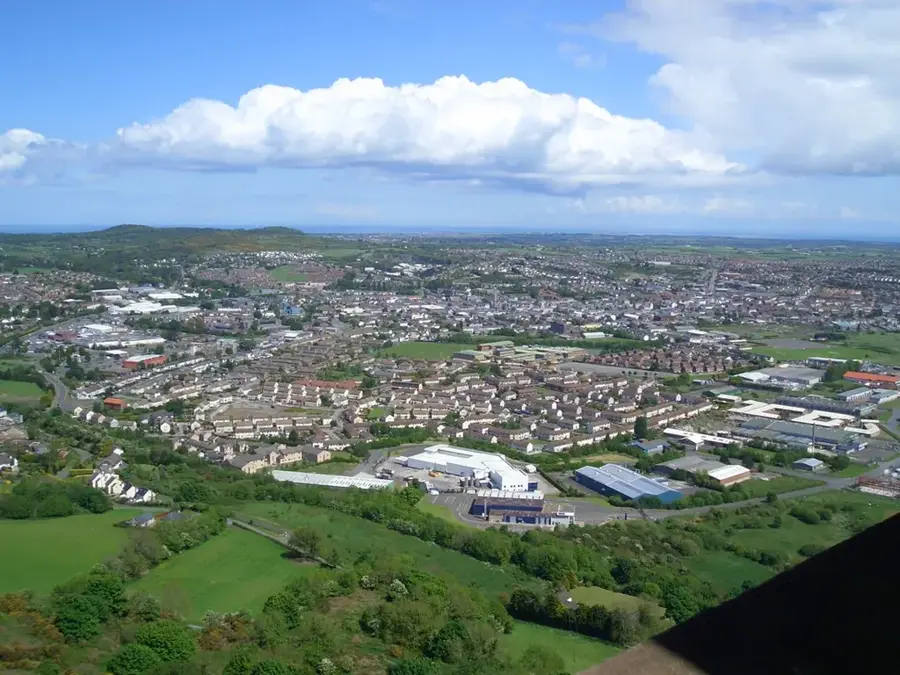
Nearby cities