Plizio Visual Lab
Southern Desert
Weather…
Water temperature…
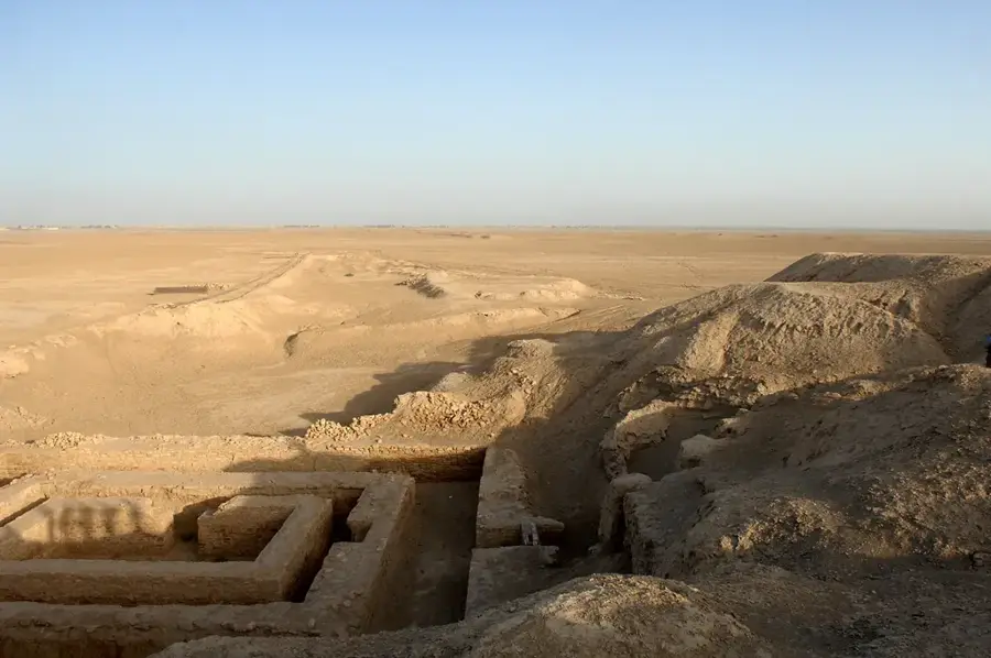
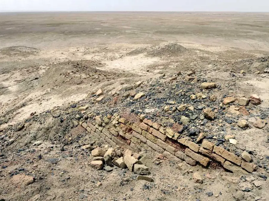
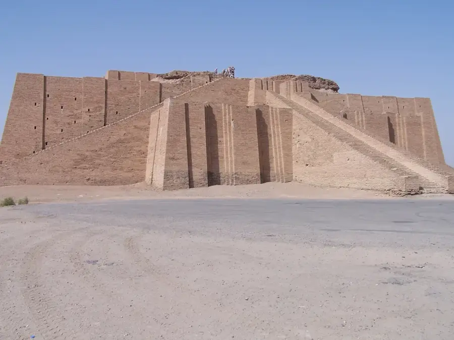
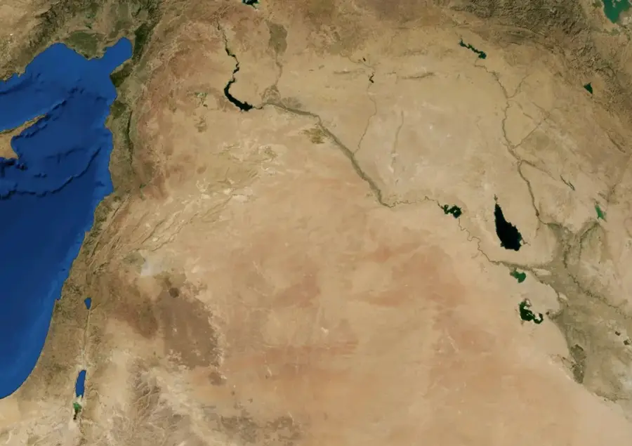
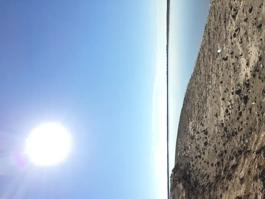
The Southern Desert of Iraq, known locally as Al-Badiyah al-Janubiyah, extends across the governorates of Al-Muthanna, An-Najaf, and Basra, covering approximately 15 percent of the country's total land area. This vast arid landscape is part of the larger Arabian Desert and is characterized by low-lying limestone plateaus, stony plains, and seasonal dry riverbeds known as wadis, including the prominent Wadi al-Batin. The region shares extensive borders with Saudi Arabia and Kuwait, serving as a critical buffer zone and a corridor for international transit and border security. Historically, the desert was crossed by the Darb Zubaidah, an ancient pilgrimage route that connected Kufa to Mecca, featuring numerous historic wells and rest stations. Climatically, the area experiences extreme temperature fluctuations, with scorching summer heat and cold winter nights, receiving less than 150 millimeters of annual rainfall. Despite the harsh conditions, the desert supports sparse vegetation used by Bedouin communities for nomadic pastoralism, particularly during the winter and spring months. The southern desert also holds potential for mineral extraction and subterranean water reserves that are vital for the region.
Best time to visit & climate
The most pleasant time to visit is Mar, Apr, Nov.
| Jan | Feb | Mar | Apr | May | Jun | Jul | Aug | Sep | Oct | Nov | Dec | |
|---|---|---|---|---|---|---|---|---|---|---|---|---|
| Avg °C | 10 | 13 | 19 | 25 | 31 | 36 | 38 | 38 | 34 | 28 | 18 | 12 |
| Rain mm | 12 | 7 | 7 | 7 | 3 | 0 | 0 | 0 | 0 | 4 | 14 | 11 |
📋 Practical info
Geography
Facts
- The Southern Desert covers about 15% of Iraq's total geographic area.
- It is bordered to the east by the Wadi al-Batin, a natural depression.
- The Darb Zubaidah pilgrimage route contains dozens of ancient water stations.
- The terrain consists of flat limestone plateaus and gravel plains.
- Annual rainfall in the region is extremely low, often below 150mm.
- The area is vital for traditional nomadic grazing of sheep and camels.
Explore nearby
Notable places around
Route planner — Car & Motorhome
Where do you start? We build the route here, with stops and country notes along the way.
© OpenStreetMap contributors · OpenRouteService
Sights nearby
Frequently asked questions
What can I expect in the southern desert?
How dangerous is the heat?
Do I need a guide for the desert?
What vehicle is recommended?
When is the best time for the southern desert?
Southern Desert: where is it located?
Southern Desert: when is the best time to visit?
Southern Desert: why is it worth visiting?

Nearby cities

History & landmarks
Nature
More places