Plizio Visual Lab
Cigondang
ℹ️Practical info — Cigondang
▾
🌤 Weather — 5 days
📍 Nearby
Sights nearby
Water temperature…
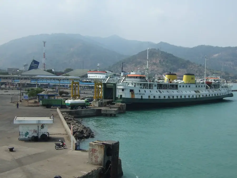
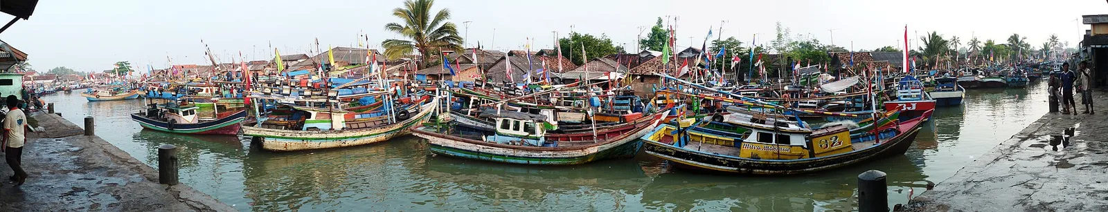
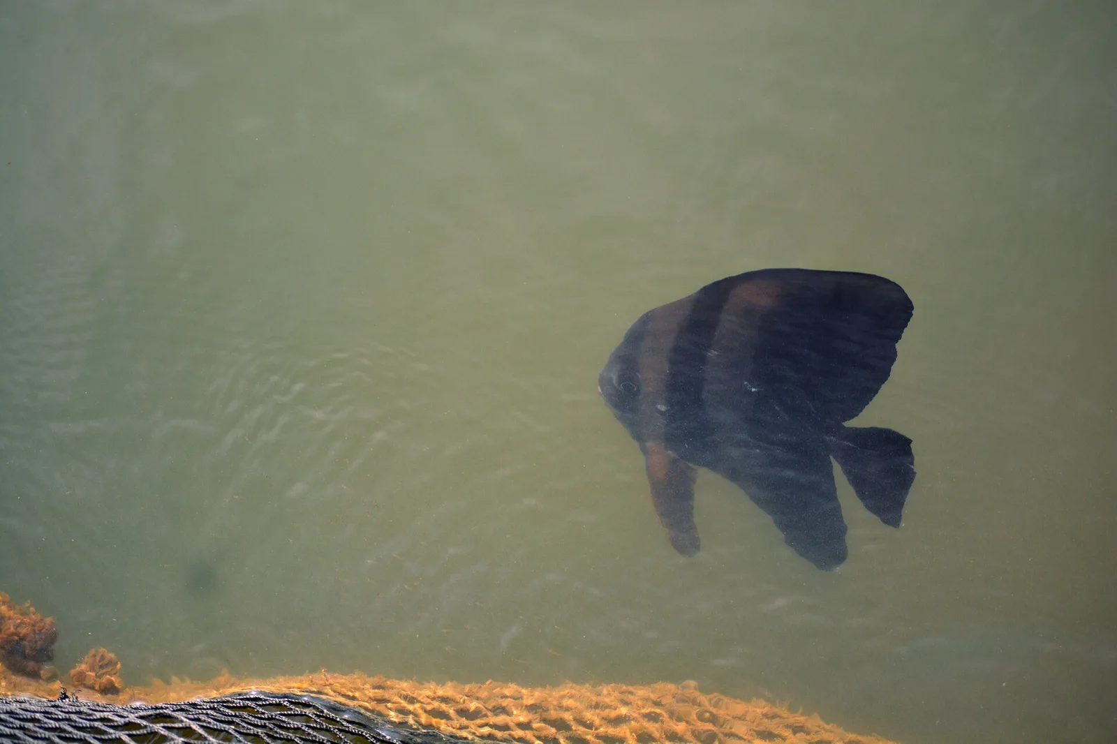
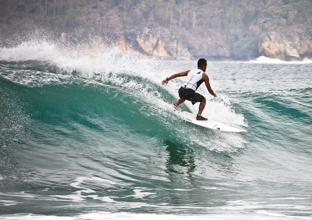
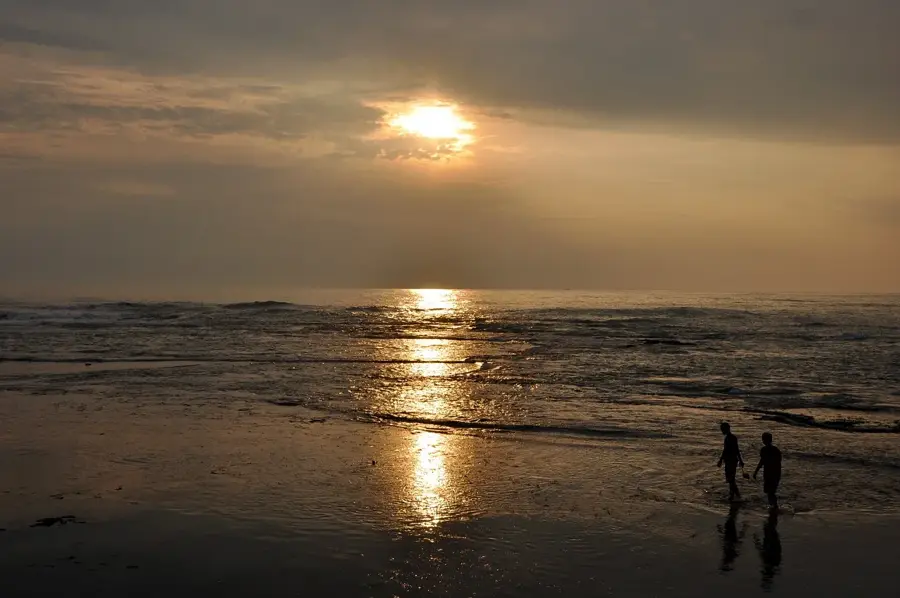
Cigondang is located in the Pandeglang Regency in Banten province and is closely linked to the maritime life of the Sunda Strait. The area is characterized by its local coastline, often simply referred to as 'Pantai', which serves as an important space for the local fishing community. In Cigondang, visitors can experience authentic Indonesian village life, marked by traditional markets and proximity to the busy commercial hub of Labuan. The coastal stretches offer wide views of the sea, and on clear days, the horizon of the Sunda Strait can be admired. The region is also a strategic starting point for exploring Ujung Kulon National Park or the famous Krakatau volcanic island. Culinarilly, the area is known for grilled fish and local Banten specialties. Its accessibility from Jakarta makes it a popular destination for weekend trips seeking peace and fresh sea air.
- Location: Indonesia
- Nearby: Citeureup (13 km)
- Population: ~33.576 (2022)
Geography
Facts
- Province: Banten
- Location: Sunda Strait
- Regency: Pandeglang
- Nearby: Labuan Port
- Body of water: Indian Ocean (entrance)
- Economy: Fishing & Trade
- Climate: Tropical
- Attraction: Local coastline (Pantai)
Explore nearby
Notable places around
Route planner — Car & Motorhome
Where do you start? We build the route here, with stops and country notes along the way.
© OpenStreetMap contributors · OpenRouteService
Sights in the town Cigondang (1)
Frequently asked questions
Where is Cigondang located?
What can you do in Cigondang?
What famous places are nearby?
What is the climate like in Cigondang?
Are there hotels there?
Cigondang: where is it located?
Cigondang: why is it worth visiting?

Nearby cities

Nature
More places