Plizio Visual Lab
Borgarvirki
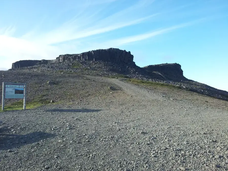
Borgarvirki is an extraordinary geological formation in North Iceland, consisting of a basalt volcanic plug approximately 10 to 15 meters high that was utilized as a defensive fortification in the past. Located on the Vatnsnes Peninsula, the structure resembles a natural fortress, making it a unique site in Icelandic history. It is believed that Borgarvirki was reinforced as early as the settlement era, in the 10th or 11th century, with the addition of stone-plate walls to provide protection against hostile attacks. The site is mentioned in the Heiðarvíga Saga, which reinforces its historical significance as a strategic base during regional conflicts. Inside the formation, remains of dwellings and a water source can be found, which would have allowed a group to endure a prolonged siege. From the summit of Borgarvirki, there is an expansive view over Húnafjörður and the surrounding valleys, explaining the site's military relevance. Today, Borgarvirki is a protected archaeological monument and a popular destination for hikers interested in both Iceland's geology and its medieval history.
- Location: Iceland
- Nearby: Blönduós (25 km)
Best time to visit & climate
The most pleasant time to visit is Jun–Aug.
| Jan | Feb | Mar | Apr | May | Jun | Jul | Aug | Sep | Oct | Nov | Dec | |
|---|---|---|---|---|---|---|---|---|---|---|---|---|
| Avg °C | -3 | -3 | -2 | 0 | 4 | 8 | 10 | 9 | 6 | 2 | -2 | -3 |
| Rain mm | 83 | 75 | 74 | 71 | 60 | 51 | 72 | 78 | 97 | 98 | 83 | 87 |
📋 Practical info
Geography
Facts
- The basalt formation reaches a height of 10 to 15 meters.
- The site is located on the remote Vatnsnes Peninsula in the north.
- The first fortifications are estimated to date from the 10th century.
- Borgarvirki is explicitly mentioned in the Heiðarvíga Saga.
- The geological structure consists primarily of volcanic basalt.
- The fortress was used as a strategic military lookout in the past.
Explore nearby
Notable places around
Route planner — Car & Motorhome
Where do you start? We build the route here, with stops and country notes along the way.
© OpenStreetMap contributors · OpenRouteService
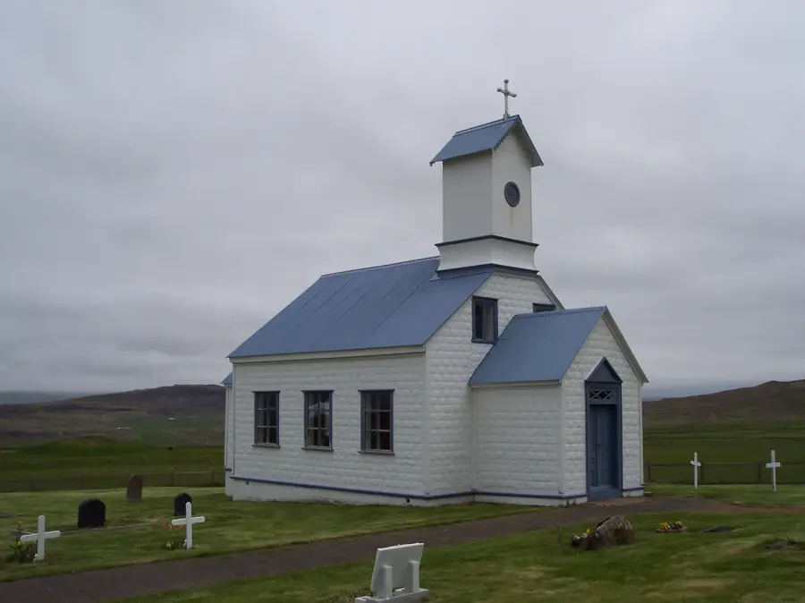
Sights in the town Borgarvirki (1)
Sights nearby
Frequently asked questions
What is Borgarvirki?
Where is Borgarvirki located?
Is the climb difficult?
Are there toilets there?
Is the view worth it?
Borgarvirki: where is it located?
Borgarvirki: when is the best time to visit?
Borgarvirki: why is it worth visiting?

Nearby cities