Plizio Visual Lab
Beacon Hill
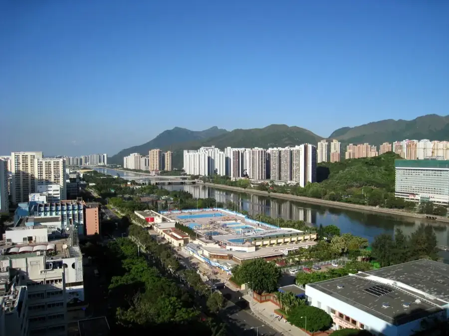
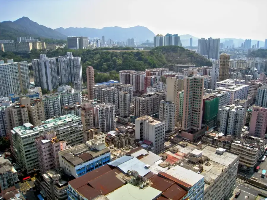
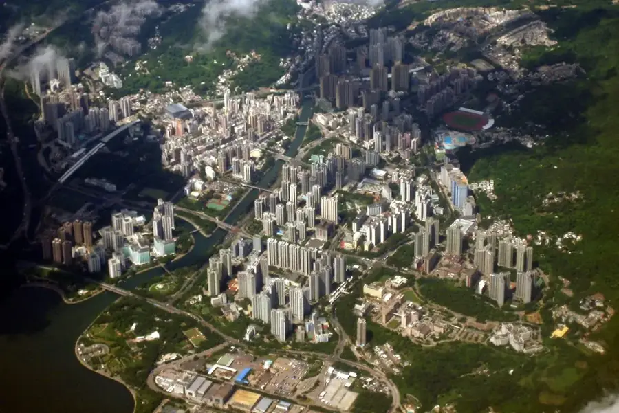
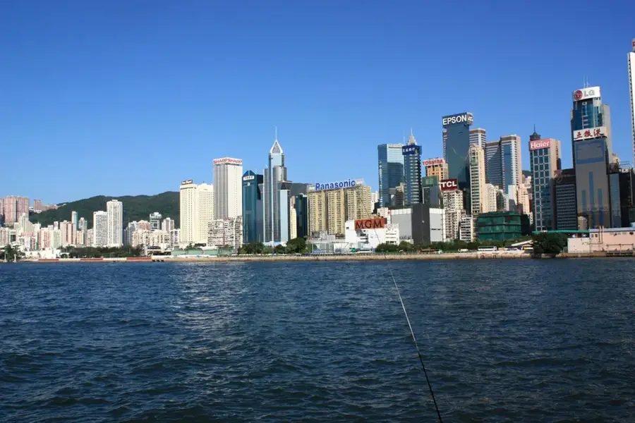
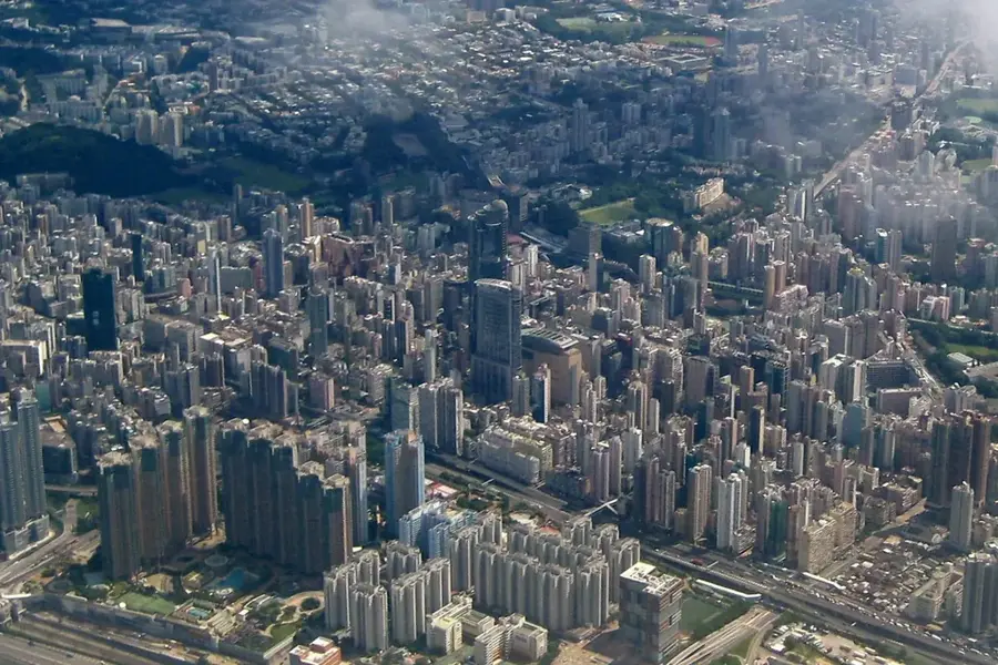
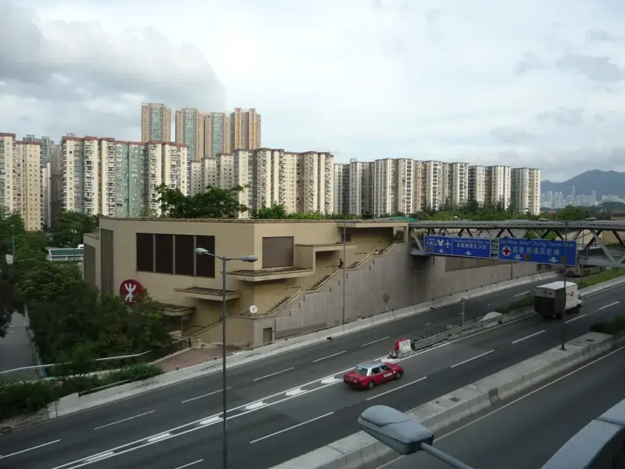
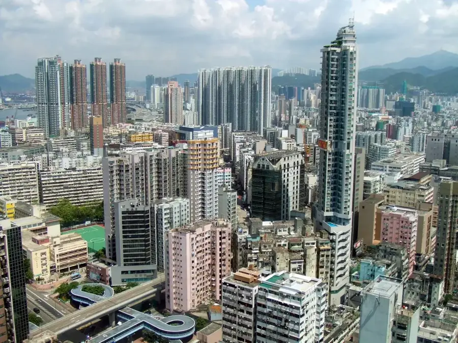
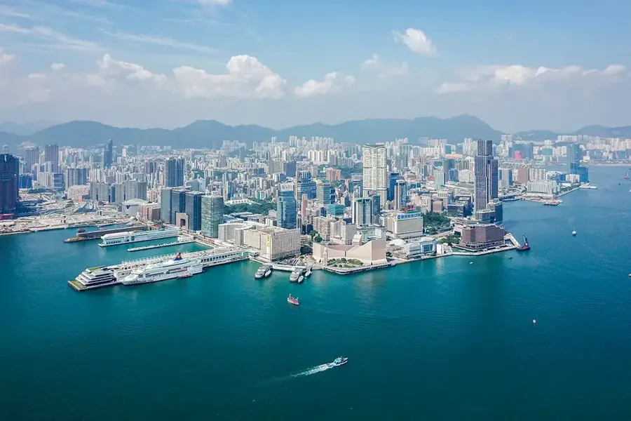
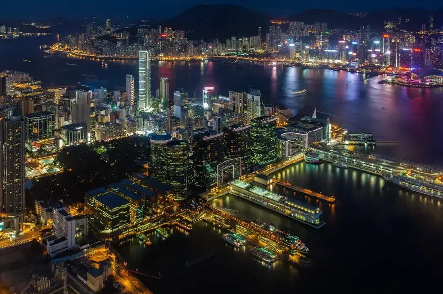
Beacon Hill, also known by its Cantonese name But Bi Shan, rises to an elevation of 457 meters in the northern part of Kowloon. The mountain holds significant historical value as it once served as a vital maritime signaling point; during the Qing Dynasty, beacon fires were lit here to guide merchant vessels and warn of pirate activity in the South China Sea. Today, its summit is most recognizable for the large white radar dome operated by the Civil Aviation Department, which serves as a crucial navigational aid for flights approaching Hong Kong. As part of the Lion Rock Country Park, the hill is a favorite spot for outdoor enthusiasts, with Section 5 of the MacLehose Trail passing directly over its slopes. The vantage point provides some of the most comprehensive views of the Kowloon Peninsula's urban sprawl, Victoria Harbour, and the distant skyline of Hong Kong Island. The area is also known for its resident population of rhesus macaques and diverse subtropical flora.
- Location: Hong Kong SAR China
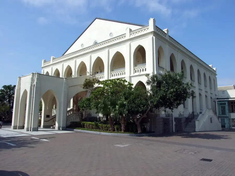
- Top sights: Beacon Hill · North Meridian Mark · Beacon Hill Viewing Point
- Nearby: Ping Shek (4 km)
Best time to visit & climate
The most pleasant time to visit is Mar, Nov, Dec.
| Jan | Feb | Mar | Apr | May | Jun | Jul | Aug | Sep | Oct | Nov | Dec | |
|---|---|---|---|---|---|---|---|---|---|---|---|---|
| Avg °C | 16 | 18 | 20 | 23 | 26 | 28 | 29 | 29 | 28 | 25 | 22 | 17 |
| Rain mm | 35 | 29 | 69 | 109 | 231 | 288 | 197 | 234 | 173 | 56 | 29 | 21 |
📋 Practical info
Geography
Facts
- Summit elevation is 457 meters
- Part of the Lion Rock Country Park
- Formerly known as Lung Cheung Shan
- Site of a secondary surveillance radar
- Belongs to the Kowloon mountain range
- MacLehose Trail passes near the summit
Explore nearby
Notable places around
Route planner — Car & Motorhome
Where do you start? We build the route here, with stops and country notes along the way.
© OpenStreetMap contributors · OpenRouteService
Sights in the town Beacon Hill (6)
Sights nearby
Frequently asked questions
How difficult is the hike up Beacon Hill?
Is there public transport to the starting point?
What can you see from the summit of Beacon Hill?
Are there toilets or kiosks along the way?
When is the best time for a hike?
Beacon Hill: where is it located?
Beacon Hill: what is there to see?
Beacon Hill: when is the best time to visit?
Beacon Hill: why is it worth visiting?

Nearby cities