Plizio Visual Lab
La Tigra National Park
Weather…
Water temperature…
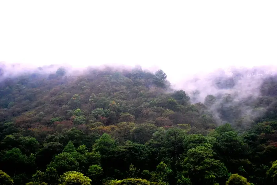
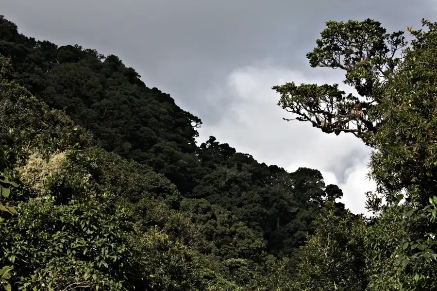
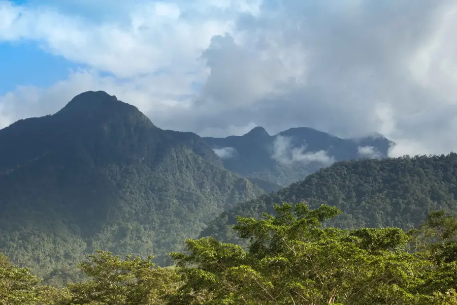
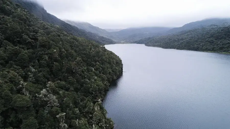
La Tigra National Park, established on January 1, 1980, is the first national park in Honduras and represents a vital cloud forest ecosystem near Tegucigalpa. Covering an area of approximately 238 square kilometers, the park ranges in elevation from 1800 to 2270 meters above sea level. It serves as a primary water source for the capital city and is home to an extraordinary array of wildlife, including the resplendent quetzal and pumas. Historically, the area was a significant silver mining hub during the 19th and early 20th centuries, with ruins and old mine shafts still scattered throughout the landscape. The park features eight well-maintained hiking trails that wind through dense, moist vegetation rich in bromeliads and orchids. Today, La Tigra is a cornerstone of Honduran environmental conservation, offering a unique high-altitude climate that provides a stark contrast to the tropical lowlands. Its preservation is critical for the long-term ecological health of the Francisco Morazán department.
- Location: Honduras
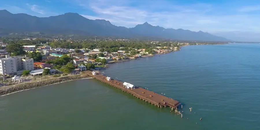
- Nearby: Valle de Ángeles (6 km)
Best time to visit & climate
The most pleasant time to visit is Jan, Feb, Dec.
| Jan | Feb | Mar | Apr | May | Jun | Jul | Aug | Sep | Oct | Nov | Dec | |
|---|---|---|---|---|---|---|---|---|---|---|---|---|
| Avg °C | 21 | 23 | 24 | 26 | 25 | 23 | 23 | 23 | 23 | 22 | 21 | 21 |
| Rain mm | 12 | 11 | 12 | 40 | 161 | 197 | 106 | 128 | 190 | 179 | 48 | 38 |
📋 Practical info
History & landmarks
1980
Geography
Facts
- Established on January 1, 1980, as the first national park in Honduras.
- Covers a total land area of approximately 238 square kilometers.
- Elevation ranges from 1800 to 2270 meters above sea level.
- Provides about 30% of the potable water for Tegucigalpa.
- Home to the Rosario Mining Company's historical silver mine ruins.
- Features eight distinct hiking trails, including the Sendero La Esperanza.
Explore nearby
Notable places around
Route planner — Car & Motorhome
Where do you start? We build the route here, with stops and country notes along the way.
© OpenStreetMap contributors · OpenRouteService
Sights nearby
Frequently asked questions
What is the main attraction of La Tigra?
Is it cold there?
Are there marked hiking trails?
Can you see Quetzals?
How far is it from Tegucigalpa?
La Tigra National Park: where is it located?
La Tigra National Park: when is the best time to visit?
La Tigra National Park: why is it worth visiting?

Nearby cities
History & landmarks
Nature
More places