Plizio Visual Lab
Jeannette Kawas National Park
Weather…
Water temperature…
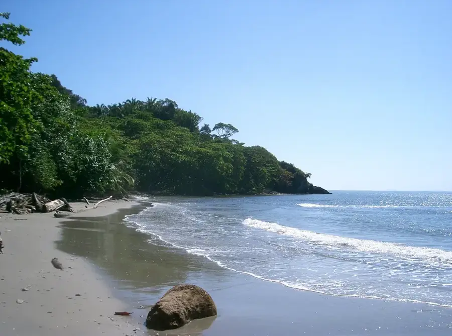
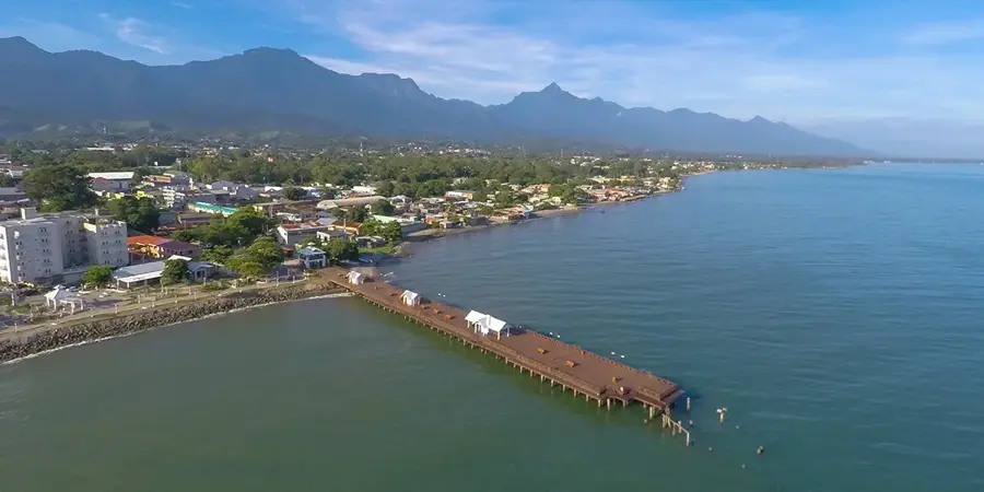
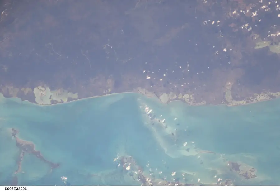
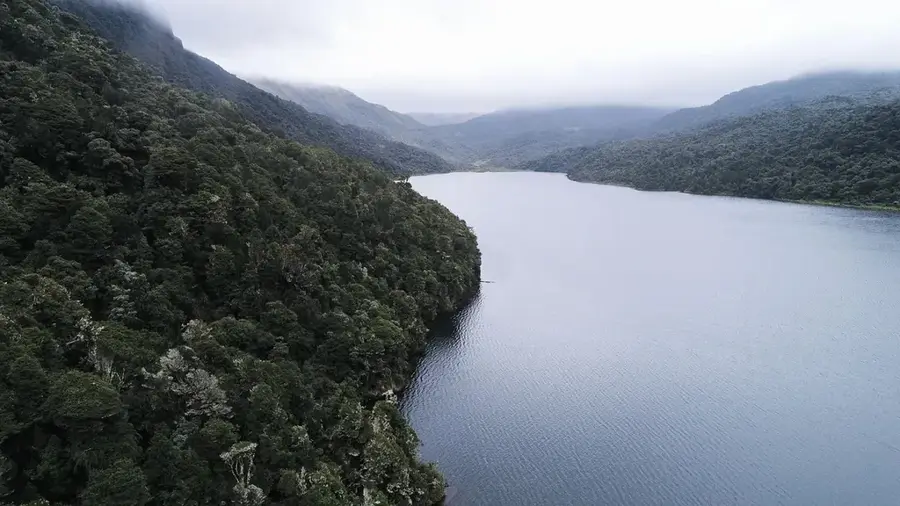
Jeannette Kawas National Park, formerly known as Punta Sal, is located on the Caribbean coast of northern Honduras, west of the town of Tela. Established in 1994, it was later renamed in honor of environmental activist Jeannette Kawas, who campaigned tirelessly for the area's protection. The park encompasses an impressive variety of ecosystems, including sandy beaches, mangrove forests, tropical lagoons, and coral reefs. Geographically, the area is divided into two primary zones: the Punta Sal peninsula and the Los Micos lagoon. The park's waters are home to manatees, dolphins, and numerous fish species, while the forests provide habitat for howler monkeys and various reptiles. The Los Micos lagoon is also a significant resting area for migratory birds. Beyond its biological wealth, the park is culturally significant due to its proximity to Garifuna communities whose lifestyles are deeply intertwined with the marine environment. The park has spectacular landscapes with white sand beaches and crystal-clear waters, making it a jewel for eco-tourism. Preserving this fragile territory remains an ongoing challenge against human encroachment and development.
- Location: Honduras
- Nearby: Comayagua (6 km)
Best time to visit & climate
The most pleasant time to visit is Feb–Apr.
| Jan | Feb | Mar | Apr | May | Jun | Jul | Aug | Sep | Oct | Nov | Dec | |
|---|---|---|---|---|---|---|---|---|---|---|---|---|
| Avg °C | 24 | 25 | 26 | 27 | 28 | 28 | 28 | 28 | 28 | 27 | 26 | 25 |
| Rain mm | 180 | 110 | 81 | 47 | 115 | 195 | 172 | 174 | 198 | 279 | 286 | 189 |
📋 Practical info
Geography
Facts
- Established in 1994 (renamed in 1995)
- Total area: approximately 781 square kilometers
- Home to over 35 species of mammals and 147 bird species
- Includes 35 km of coastline along the Caribbean Sea
- The Los Micos lagoon is a significant Ramsar site
- Contains four different types of mangrove ecosystems
Explore nearby
Notable places around
Route planner — Car & Motorhome
Where do you start? We build the route here, with stops and country notes along the way.
© OpenStreetMap contributors · OpenRouteService
Sights nearby
Frequently asked questions
What is Punta Sal?
How to get into the park?
Can you see monkeys?
Is there snorkeling available?
Is camping allowed there?
Jeannette Kawas National Park: where is it located?
Jeannette Kawas National Park: when is the best time to visit?
Jeannette Kawas National Park: why is it worth visiting?

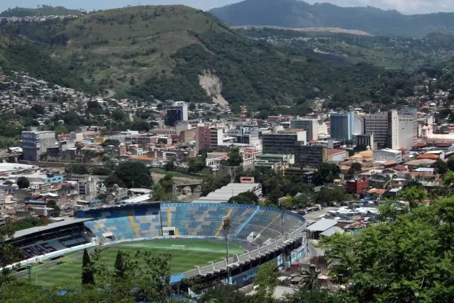
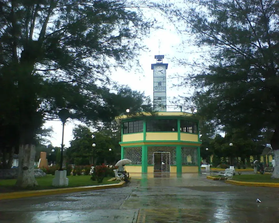
Nearby cities
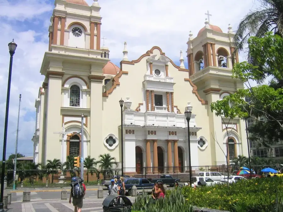
History & landmarks
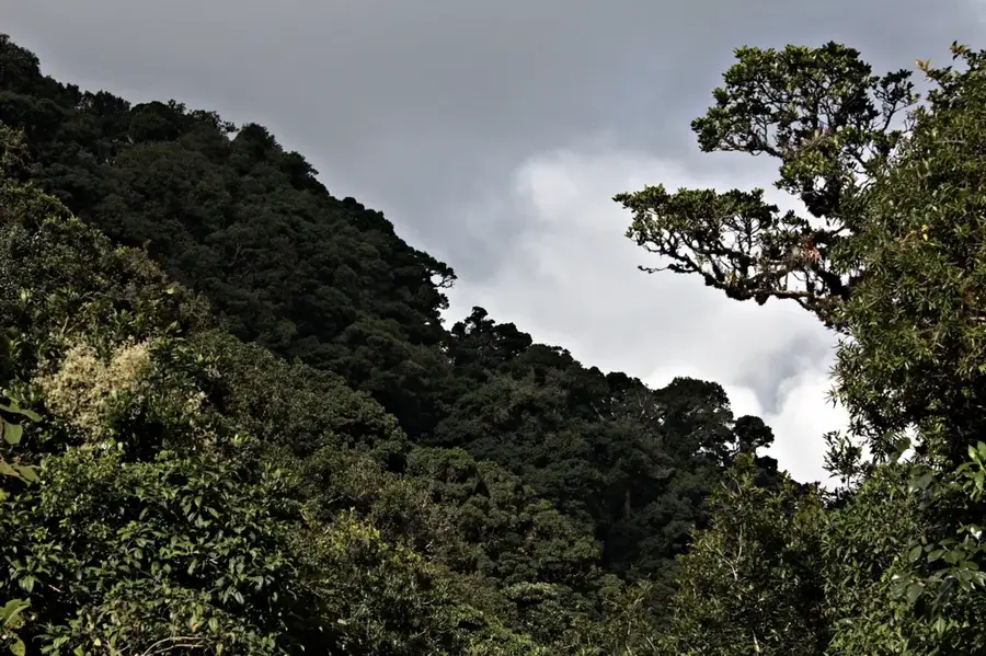
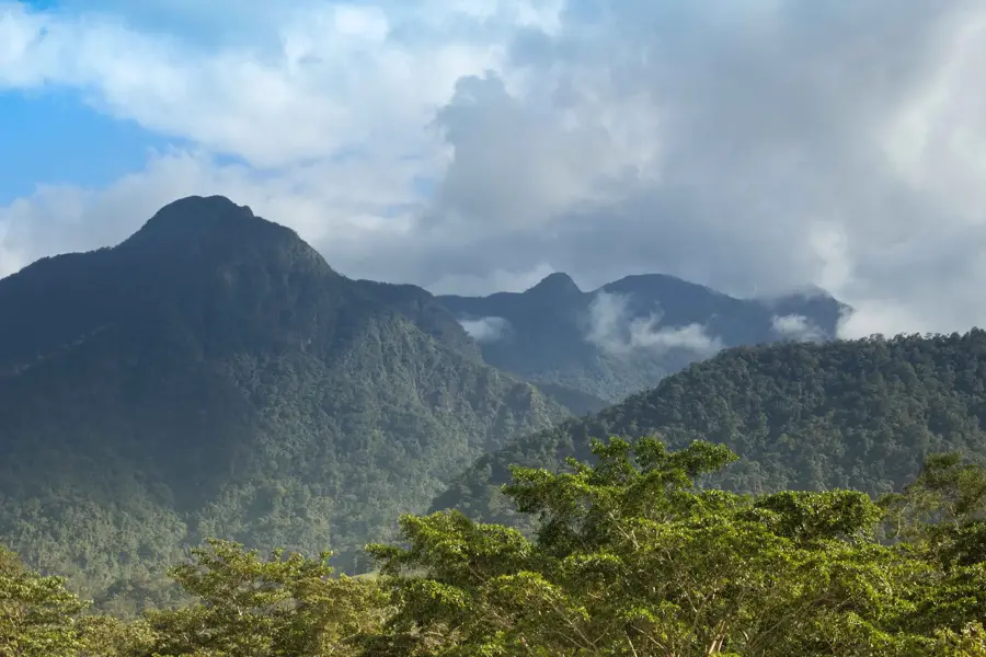
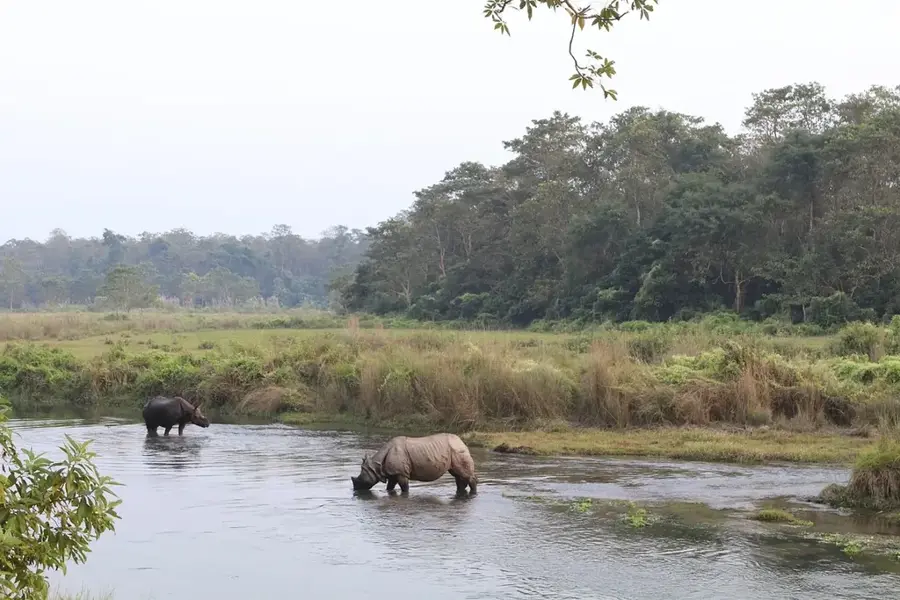
Nature
More places