Plizio Visual Lab
Côtes-de-Fer Coastline
Weather…
Water temperature…
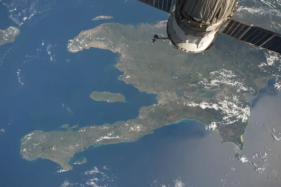
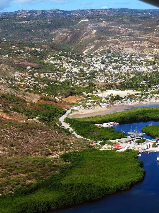
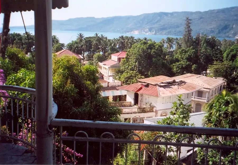
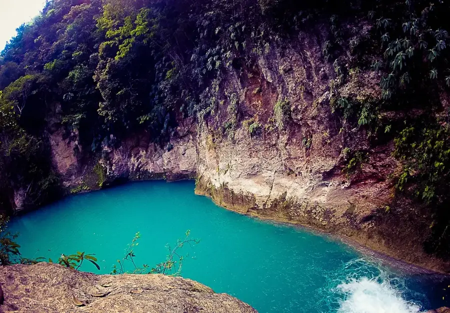
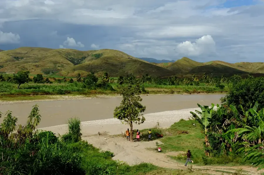
The coastline of Côtes-de-Fer stretches along the southern shore of Haiti within the Sud-Est Department. This region is distinguished by its rugged, untouched landscape, featuring a blend of pristine sandy beaches and dramatic limestone cliffs shaped by the Caribbean Sea. Historically, the area's relative isolation has preserved its natural ecosystems, including significant mangrove forests and offshore coral reefs. The name 'Iron Coast' is believed to originate from the treacherous rocks and powerful currents that historically posed a major risk to maritime navigation. In recent decades, the region has been earmarked for large-scale tourism development initiatives aimed at boosting the local economy through sustainable infrastructure. Agriculture and artisanal fishing remain the primary livelihoods for the inland population. Despite modern development plans, the coastline remains a vital sanctuary for various endangered species, including hawksbill sea turtles.
- Location: Haiti
- Top sights: Rivière des Côtes de Fer · Côtes-de-Fer
- Nearby: Anse-à-Galets (La Gonâve) (26 km)
Best time to visit & climate
The most pleasant time to visit is Jan–Mar.
| Jan | Feb | Mar | Apr | May | Jun | Jul | Aug | Sep | Oct | Nov | Dec | |
|---|---|---|---|---|---|---|---|---|---|---|---|---|
| Avg °C | 26 | 26 | 26 | 27 | 28 | 28 | 29 | 29 | 29 | 28 | 28 | 27 |
| Rain mm | 25 | 19 | 28 | 35 | 64 | 50 | 45 | 66 | 68 | 102 | 73 | 38 |
📋 Practical info
Geography
Facts
- The coastline is situated in the Sud-Est Department of Haiti.
- The municipality of Côtes-de-Fer was officially founded in 1843.
- It is named for the sharp rocks and dangerous waters off its shores.
- The area is a primary focus of the Haitian Ministry of Tourism's master plan.
- The coastal waters are home to diverse Caribbean coral species.
- Mangrove forests along the shore protect the land from storm surges.
Explore nearby
Notable places around
Route planner — Car & Motorhome
Where do you start? We build the route here, with stops and country notes along the way.
© OpenStreetMap contributors · OpenRouteService
Sights in the town Côtes-de-Fer Coastline (2)
Sights nearby
Frequently asked questions
When is the best time to visit?
Are the beaches suitable for families?
How is the road access?
Is surfing possible here?
Are there restaurants nearby?
Côtes-de-Fer Coastline: where is it located?
Côtes-de-Fer Coastline: what is there to see?
Côtes-de-Fer Coastline: when is the best time to visit?
Côtes-de-Fer Coastline: why is it worth visiting?

Nearby cities

Nature
More places