Plizio Visual Lab
Cul-de-Sac Plain
Weather…
Water temperature…
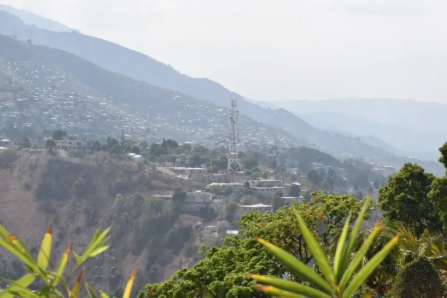
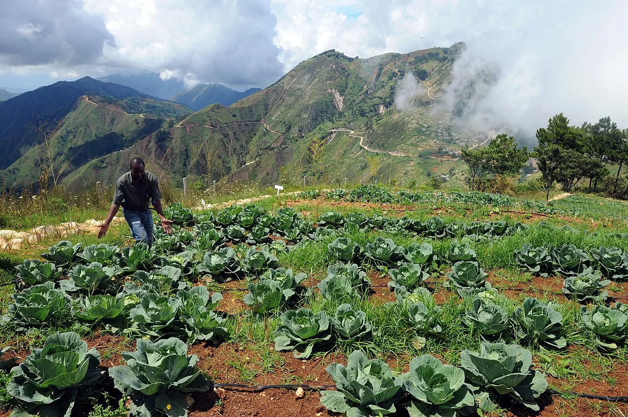
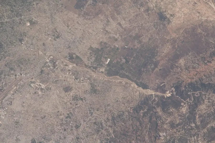
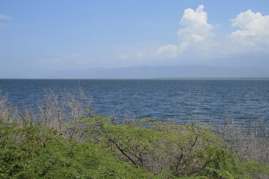
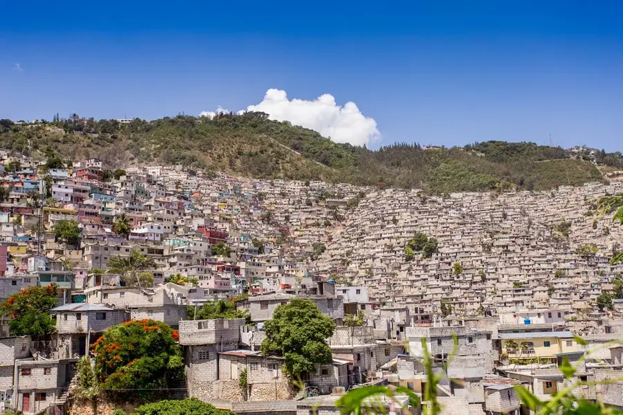
The Plaine du Cul-de-Sac is a prominent tectonic depression extending from the Gulf of Gonâve in the west to the Dominican Republic border in the east. In prehistoric times, this geological formation was a marine strait that divided the island of Hispaniola into two separate landmasses. Today, the plain is characterized by fertile alluvial soils, which were historically dominated by vast sugarcane plantations. It is bordered by the Massif de la Selle to the south and the Chaîne des Matheux to the north. Due to its flat topography and proximity to the capital, Port-au-Prince, it serves as the economic heart of Haiti, while also hosting ecologically sensitive areas like the brackish lakes of Trou Caïman and Lac Azuéi. Geologically, it is part of the Enriquillo-Plantain Garden fault zone, making the region highly susceptible to seismic activity. The plain also plays a critical role in the metropolitan area's water supply through its extensive underground aquifers.
- Location: Haiti
- Top sights: Dieuron · Dessources
- Nearby: Furcy (13 km)
Best time to visit & climate
The most pleasant time to visit is Jan, Feb, Dec.
| Jan | Feb | Mar | Apr | May | Jun | Jul | Aug | Sep | Oct | Nov | Dec | |
|---|---|---|---|---|---|---|---|---|---|---|---|---|
| Avg °C | 23 | 24 | 25 | 26 | 26 | 26 | 27 | 27 | 27 | 26 | 25 | 24 |
| Rain mm | 19 | 17 | 26 | 40 | 64 | 41 | 38 | 66 | 45 | 76 | 62 | 29 |
📋 Practical info
Geography
Facts
- The plain extends for a length of approximately 32 kilometers.
- Lac Azuéi at the eastern end is Haiti's largest lake, covering 170 km².
- The average elevation of the plain is only 30 to 50 meters above sea level.
- Historically, the plain was the epicenter of French colonial sugar production.
- The region features a semi-arid climate with distinct cacti vegetation.
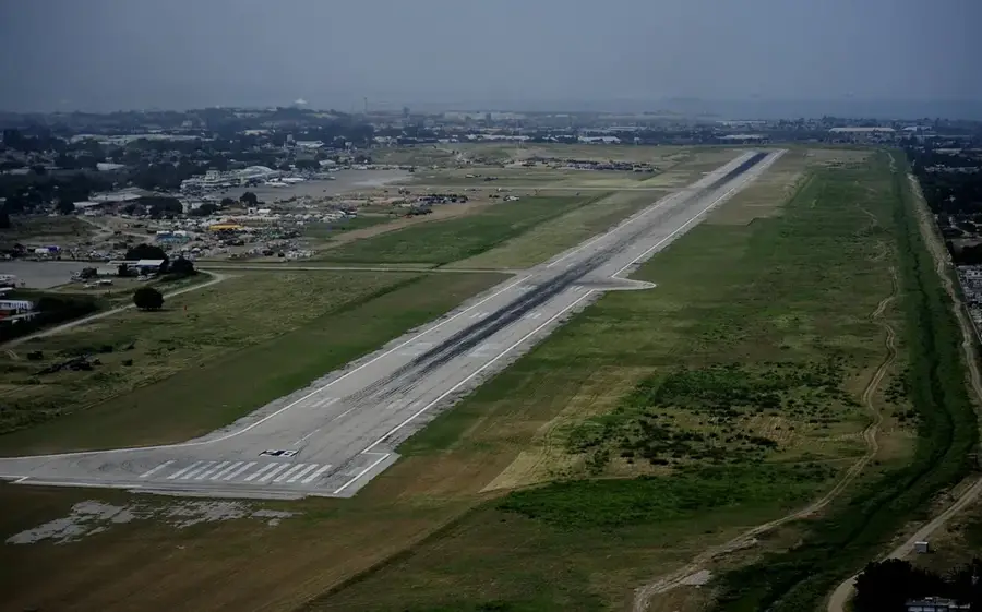
- The Toussaint Louverture International Airport is located within this plain.
Explore nearby
Notable places around
Route planner — Car & Motorhome
Where do you start? We build the route here, with stops and country notes along the way.
© OpenStreetMap contributors · OpenRouteService
Sights in the town Cul-de-Sac Plain (2)
Sights nearby
Frequently asked questions
What is the Plaine du Cul-de-Sac?
Why is the plain agriculturally important?
What is the geology of the plain?
Are there lakes there?
Is the plain easy to travel through?
Cul-de-Sac Plain: where is it located?
Cul-de-Sac Plain: what is there to see?
Cul-de-Sac Plain: when is the best time to visit?
Cul-de-Sac Plain: why is it worth visiting?

More places