Plizio Visual Lab
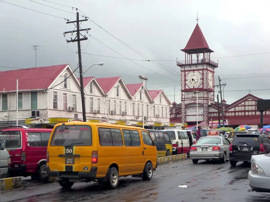
Port of Georgetown

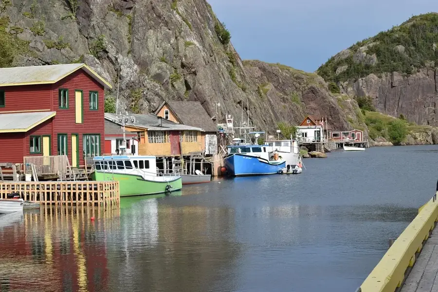
The Port of Georgetown is Guyana's primary maritime gateway, situated at the mouth of the Demerara River where it meets the Atlantic Ocean. It serves as the central hub for the country's international trade, handling the vast majority of all imports and exports. Originally established during the colonial era to facilitate sugar and bauxite trade, the port has recently evolved into a sophisticated logistics center for the booming offshore oil and gas industry. Numerous privately owned and public terminals line the eastern bank of the river, managing bulk cargo, containers, and fuel shipments. The port's main operational challenge is the heavy siltation of the river mouth, which requires continuous dredging to maintain navigable depths for ocean-going vessels. Following the discovery of massive offshore oil reserves, port facilities have undergone significant expansion, including specialized shore-base operations that support offshore drilling rigs. The port is a critical economic driver and a lifeline for the supply of essential goods to the entire nation.
- Location: Guyana
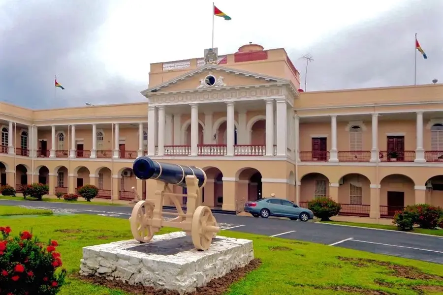
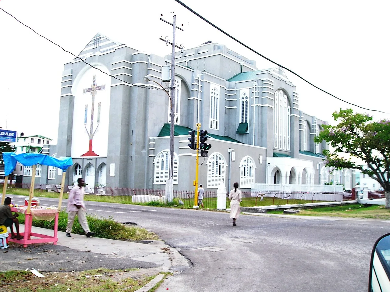
- Top sights: Parade ground · Sacred Heart Roman Catholic Church · St. George's Cathedral
- Nearby: Pouderoyen (4 km)
Best time to visit & climate
The most pleasant time to visit is Feb, Mar, Sep.
| Jan | Feb | Mar | Apr | May | Jun | Jul | Aug | Sep | Oct | Nov | Dec | |
|---|---|---|---|---|---|---|---|---|---|---|---|---|
| Avg °C | 26 | 26 | 27 | 27 | 27 | 27 | 27 | 27 | 28 | 28 | 28 | 27 |
| Rain mm | 181 | 117 | 94 | 144 | 315 | 314 | 302 | 193 | 102 | 103 | 181 | 257 |
📋 Practical info
Geography
Facts
- The port is located on the eastern bank of the Demerara River estuary.
- It is the main point of entry for over 90% of Guyana's non-oil imports.
- Dredging operations are critical to maintain a channel depth of roughly 20 feet.
- The port houses specialized facilities for the El Dorado rum export trade.
- Expansion of the shore base has attracted major global logistics firms.
- Strategic proximity to the Atlantic makes it a hub for regional transshipment.
Explore nearby
Notable places around
Route planner — Car & Motorhome
Where do you start? We build the route here, with stops and country notes along the way.
© OpenStreetMap contributors · OpenRouteService
Sights in the town Port of Georgetown (10)
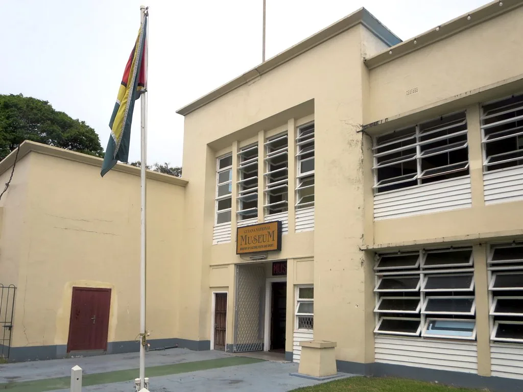
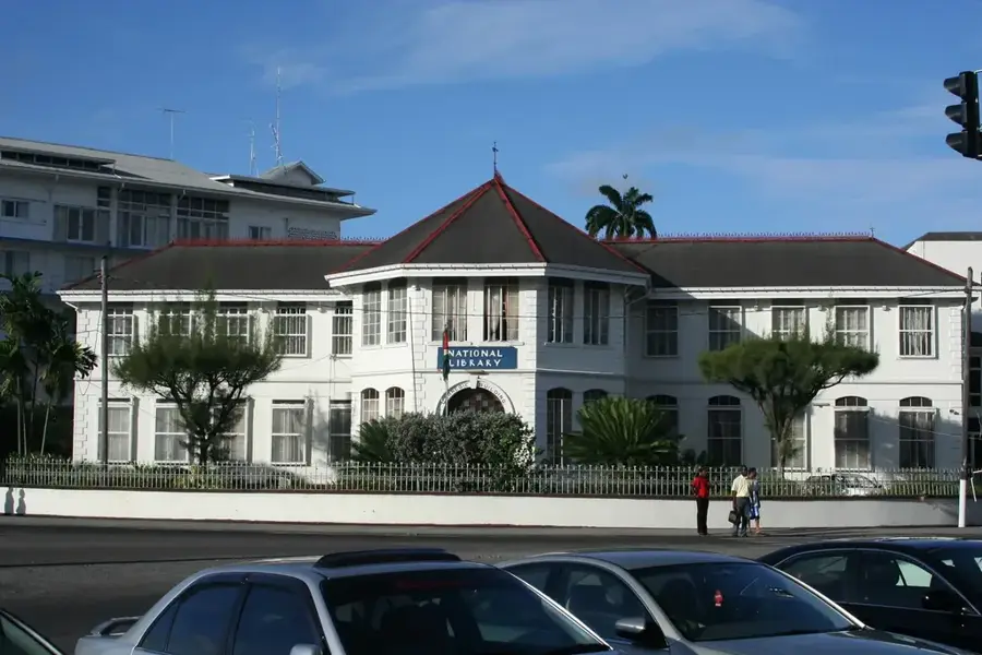
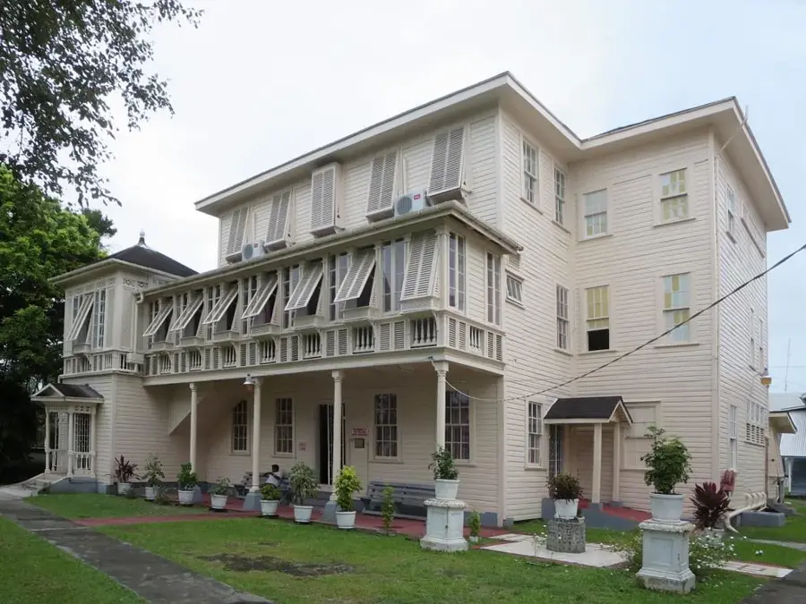
Guyana National Museum🏛 museum
Museum in Georgetown, Guyana, showcasing the natural history and culture of the country.
Walter Roth Museum of Anthropology🏛 museum
Anthropology museum in Georgetown with collections on Guyana's indigenous cultures.
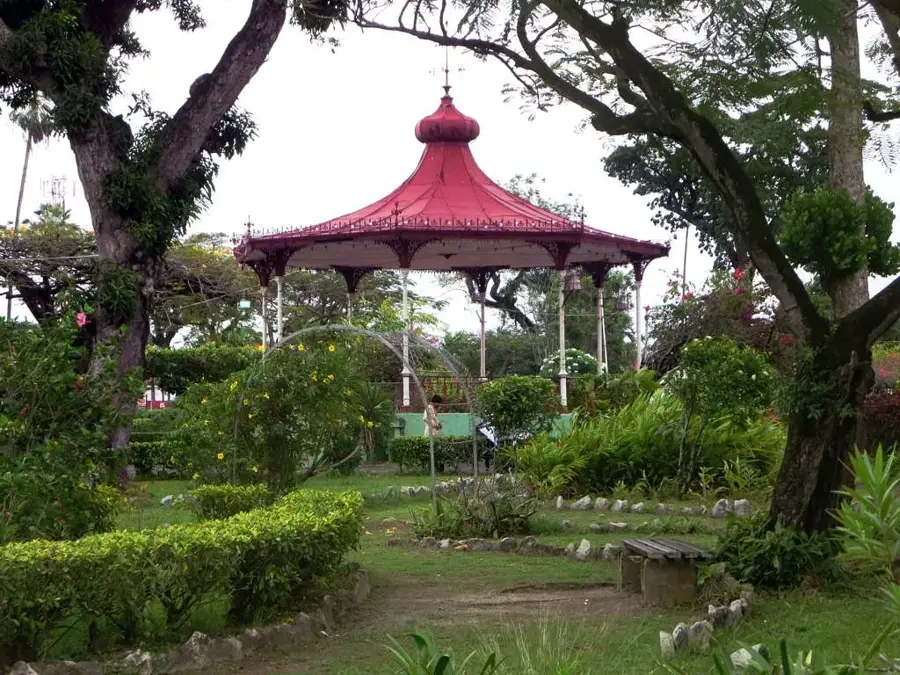
Promenade Gardens
Urban park in Georgetown, Guyana, with manicured lawns and shady trees.
Walter Roth Museum🏛 museum
Museum in Georgetown focusing on anthropology and the indigenous peoples of Guyana.
Christ Church
Christian church in Georgetown, a place for worship and community gatherings.
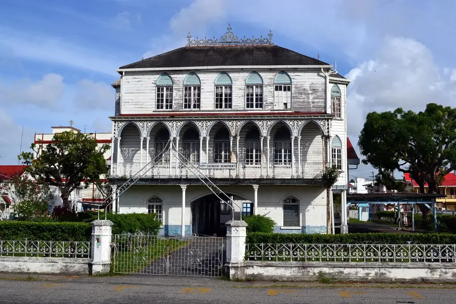
Georgetown City Hall
City hall in Georgetown, Guyana, a historic building in Victorian style.
Sights nearby
Frequently asked questions
What is primarily handled at the Port of Georgetown?
Can tourists visit the port?
Where is the port located?
How deep is the shipping channel?
Are there cruise terminals?
Port of Georgetown: where is it located?
Port of Georgetown: what is there to see?
Port of Georgetown: when is the best time to visit?
Port of Georgetown: why is it worth visiting?

Nearby cities


History & landmarks

More places