Plizio Visual Lab
Tacaná Volcano
Weather…
Water temperature…
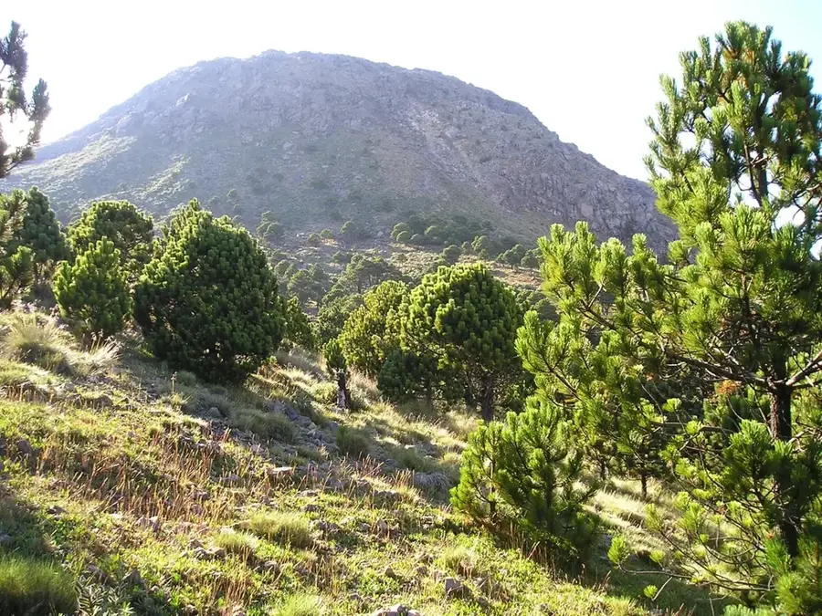
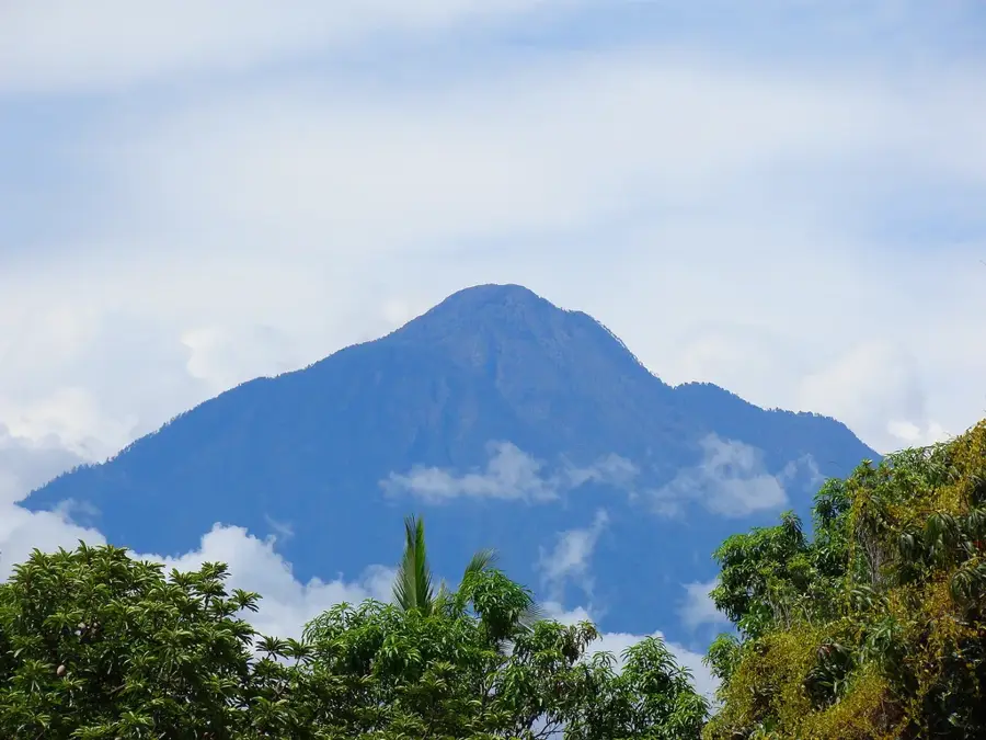
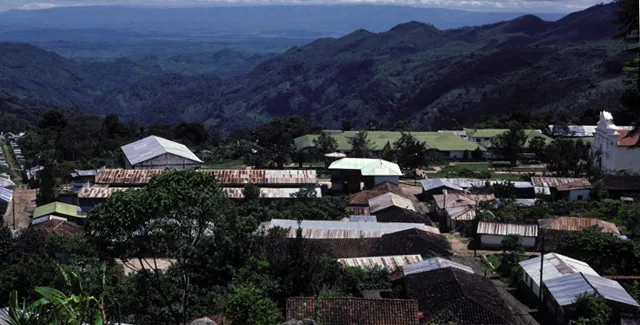
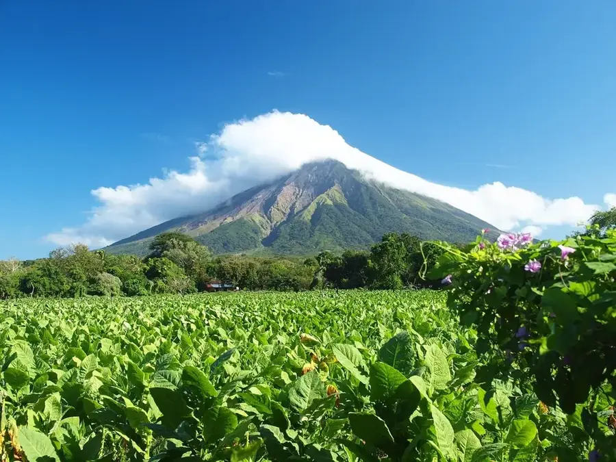
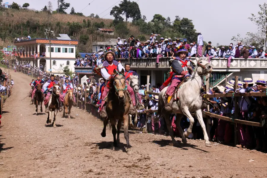
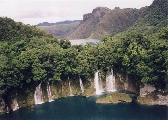
Tacaná Volcano, standing at 4,060 meters, is the second-highest peak in Central America, straddling the border between the Guatemalan department of San Marcos and the Mexican state of Chiapas. This active stratovolcano marks the northwestern end of the Central American Volcanic Arc and is part of a complex volcanic system. The region was designated a UNESCO Biosphere Reserve in 2003 due to its exceptional biodiversity, ranging from tropical rainforests to alpine ecosystems. Historically, several phases of seismic activity were recorded during the 19th and 20th centuries, with the last phreatic eruption occurring in 1986. For the indigenous Mam-Maya people, the mountain holds deep spiritual significance and is revered as a sacred site. Climbing the summit takes hikers through various climatic zones and has a panoramic view stretching as far as the Pacific Ocean on clear days.
- Location: Guatemala
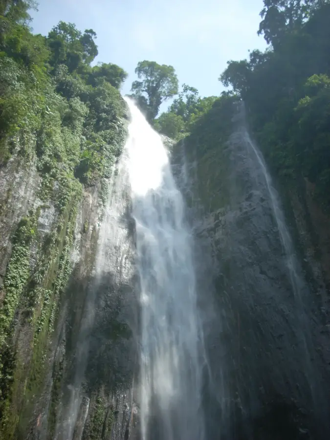
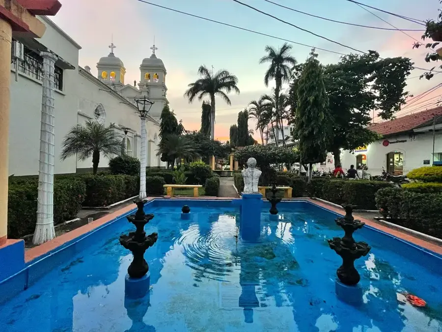
- Top sights: Mirador · Reserva de la Biosfera Volcán Tacaná · Parque Regional Municipal Sibinal
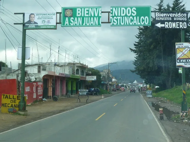
- Nearby: San Pablo (17 km)
Best time to visit & climate
The most pleasant time to visit is Feb, Mar, Dec.
| Jan | Feb | Mar | Apr | May | Jun | Jul | Aug | Sep | Oct | Nov | Dec | |
|---|---|---|---|---|---|---|---|---|---|---|---|---|
| Avg °C | 17 | 18 | 19 | 20 | 20 | 19 | 19 | 19 | 19 | 19 | 18 | 17 |
| Rain mm | 5 | 7 | 25 | 71 | 248 | 332 | 247 | 308 | 380 | 313 | 68 | 10 |
📋 Practical info
Geography
Facts
- Elevation of 4,060 meters above sea level
- Last phreatic eruption occurred in 1986
- UNESCO Biosphere Reserve since 2003
- Part of the Sierra Madre de Chiapas range
- Second-highest peak in all of Central America
- Sacred site for the indigenous Mam-Maya culture
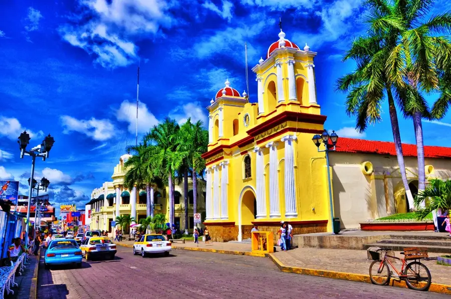
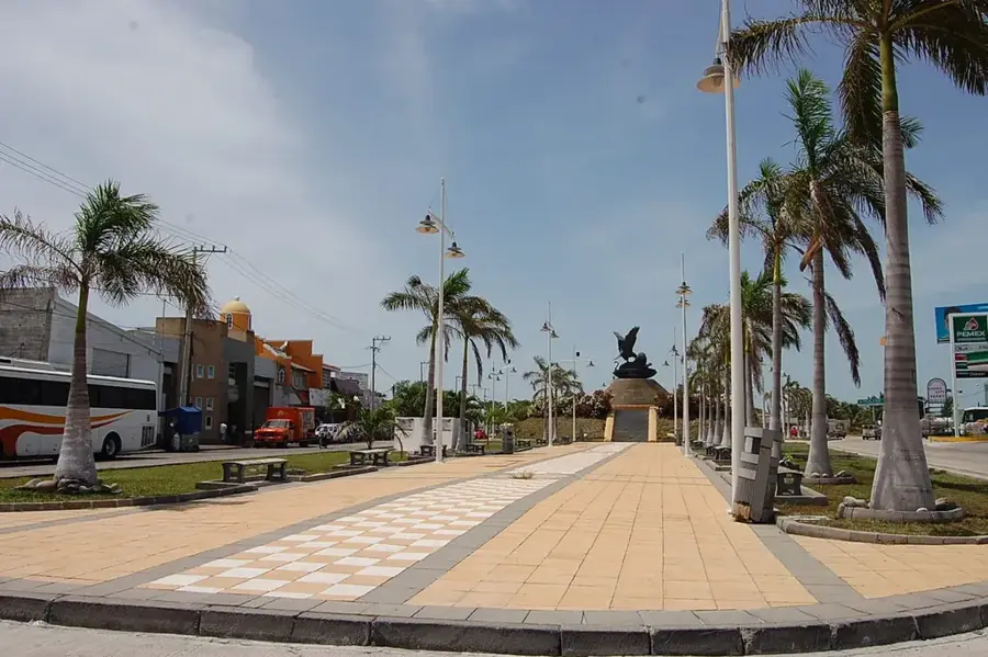
Explore nearby
Notable places around
Route planner — Car & Motorhome
Where do you start? We build the route here, with stops and country notes along the way.
© OpenStreetMap contributors · OpenRouteService
Sights in the town Tacaná Volcano (3)
Sights nearby
Frequently asked questions
Where is the Tacaná Volcano located?
How high is Tacaná?
Is the climb difficult?
Do I need a guide?
What documents do I need?
Tacaná Volcano: where is it located?
Tacaná Volcano: what is there to see?
Tacaná Volcano: when is the best time to visit?
Tacaná Volcano: why is it worth visiting?

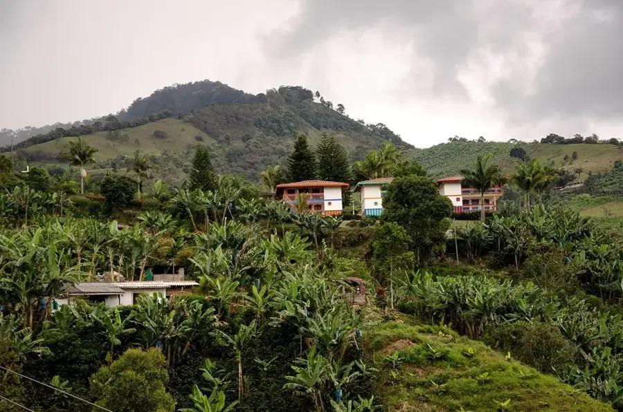
Nearby cities
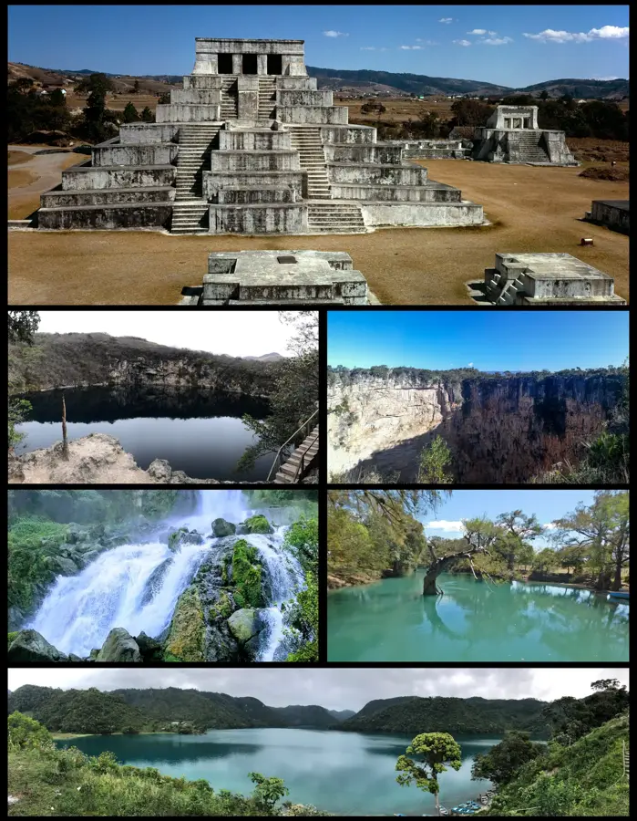

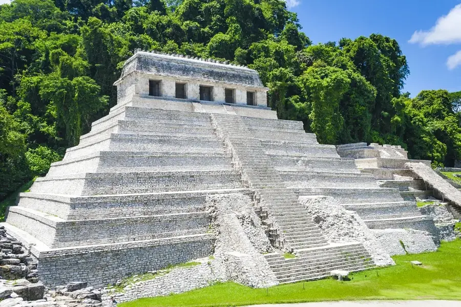
History & landmarks
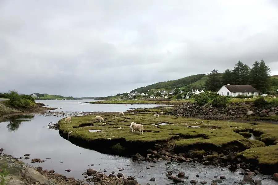
Nature
More places