Plizio Visual Lab
La Esperanza

ℹ️Practical info — La Esperanza
▾
🌤 Weather — 5 days
📍 Nearby
Sights nearby
💡 Tips
- This town is practically merged with Quetzaltenango (Xela), so you can easily use Xela's public transport.
- Due to the high altitude, temperatures drop significantly at night, so bring warm layers.
- Minibuses (microbuses) constantly travel between Xela and La Esperanza's center.
- It's a great base if you want to be close to Xela but in a slightly more residential setting.
🍽 Food
Potato-based tamales, a regional specialty of the Xela area.
Great for the chilly highland evenings, available in local cafes.
Traditional sweet breads, excellent with coffee.
🛍 Shopping · 🧘 Quiet spots
Look for local bakeries on the main road for fresh shecas and sweet breads.
Small shops offering typical highland textiles and garments.
A quieter alternative to Xela's busy central park.
Take a walk towards the outskirts for views of the agricultural landscapes.
Water temperature…
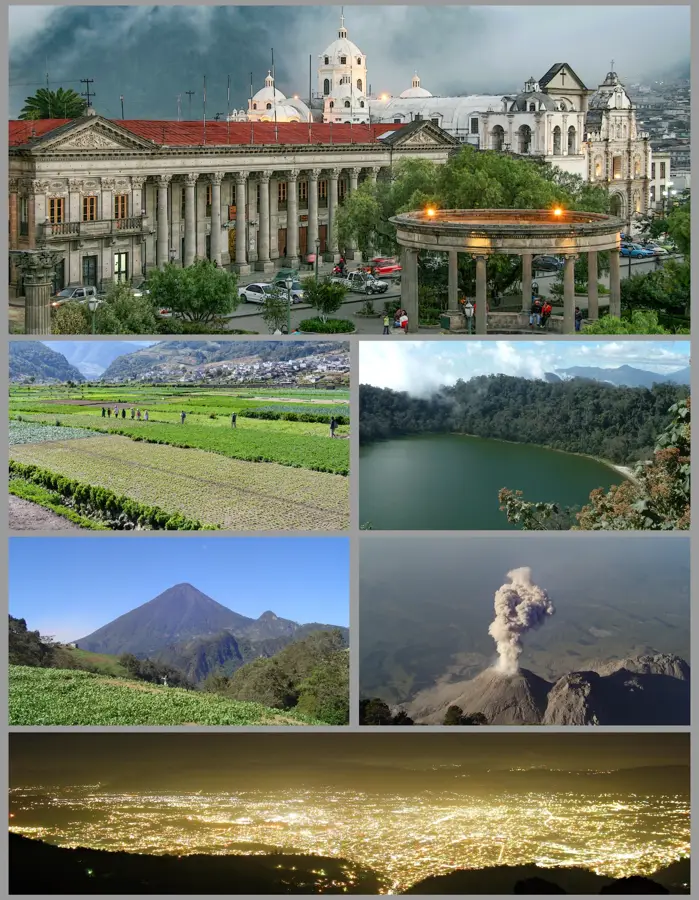
La Esperanza is a young and prosperous municipality in the Quetzaltenango Department, bordering directly with the city of Quetzaltenango. The settlement originally developed as a suburb before being officially elevated to a municipality on May 10, 1915. Geographically, La Esperanza is located at an elevation of about 2450 meters in the cool western highlands. Over the last few decades, the municipality has experienced explosive growth, transforming from a rural zone into a key residential and commercial area within the Quetzaltenango metropolitan region. The local economy benefits significantly from services, trade, and the construction industry, fueled by its proximity to the country's second-largest city. Despite rapid growth, the city administration strives to maintain green spaces and provide modern infrastructure. The population is a dynamic mix of indigenous K'iche' and Mestizo people, reflected in a diverse cultural landscape. The annual festival in May serves as an important social gathering point for the region's residents.
- Location: Guatemala
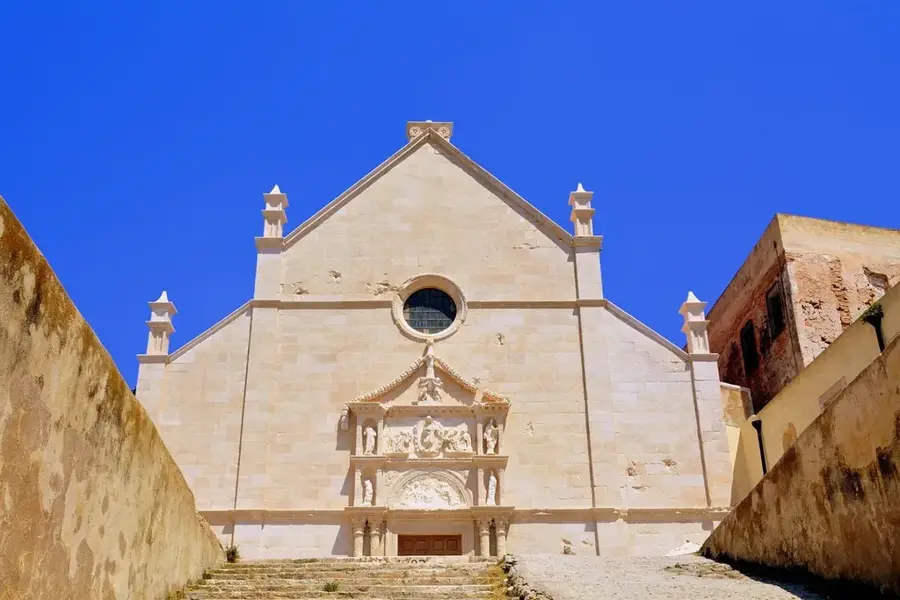
- Top sights: Teatro Municipal · Seminario San Jose · Quetzaltenango Guatemala Temple
- Nearby: Todos Santos Cuchumatán (5 km)
- Population: ~16.461 (2020)
Best time to visit & climate
The most pleasant time to visit is Feb–Apr.
| Jan | Feb | Mar | Apr | May | Jun | Jul | Aug | Sep | Oct | Nov | Dec | |
|---|---|---|---|---|---|---|---|---|---|---|---|---|
| Avg °C | 13 | 14 | 16 | 17 | 17 | 16 | 16 | 16 | 16 | 16 | 14 | 14 |
| Rain mm | 6 | 7 | 22 | 63 | 217 | 315 | 226 | 289 | 353 | 291 | 58 | 10 |
Geography
Facts
- La Esperanza was founded as an independent municipality on May 10, 1915.
- The town is situated at an elevation of approximately 2450 meters.
- It is a key component of the Quetzaltenango metropolitan area.
- The town's festival is held annually in the month of May.
- The region's climate is known as one of the coldest in Guatemala.
- The economy is currently driven by trade and the service sector.
Explore nearby
Notable places around
Route planner — Car & Motorhome
Where do you start? We build the route here, with stops and country notes along the way.
© OpenStreetMap contributors · OpenRouteService
Sights in the town La Esperanza (3)
Frequently asked questions
How many days are needed for La Esperanza?
When is the best time to visit?
Are there local specialties?
Is La Esperanza safe for tourists?
What can you do nearby?
La Esperanza: where is it located?
La Esperanza: what is there to see?
La Esperanza: when is the best time to visit?
La Esperanza: why is it worth visiting?

Nearby cities


History & landmarks

Nature

More places