Plizio Visual Lab
Mount Parnitha
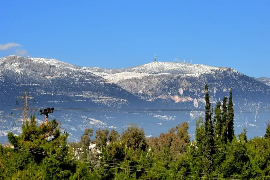
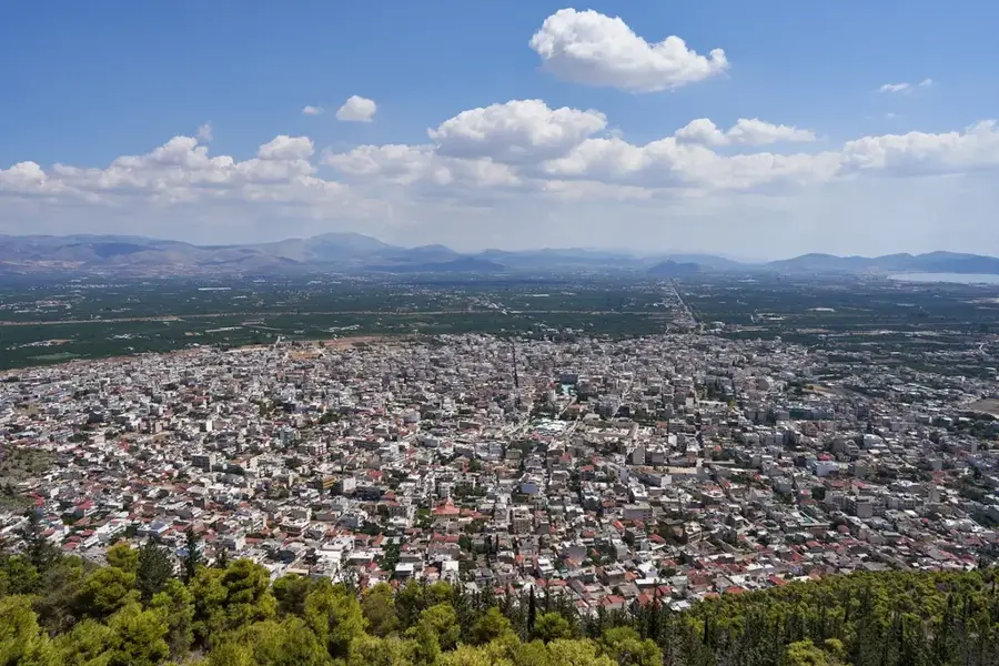
Mount Parnitha, located north of Athens, is the highest mountain in the Attica region, peaking at 1,413 meters at Karavola. Established as a National Park in 1961, it spans over 25,000 hectares and is celebrated for its extraordinary biodiversity. The mountain is home to more than 1,000 plant species and a significant population of red deer (Cervus elaphus), which is unique for its proximity to a major metropolitan area. Geologically, Parnitha is predominantly limestone, featuring numerous caves, gorges, and sinkholes. Despite suffering from major wildfires in 2007 and 2021, the mountain remains a vital green lung for the Greek capital. Key features include the Mont Parnes Casino, the Bafi and Flampouri mountain refuges, and the former royal estate of Tatoi at its foothills. Historically, the mountain formed a defensive barrier for ancient Athens, with several fortresses such as Phyle still visible today. Today, Parnitha serves as a premier destination for hiking, climbing, and nature study for the residents of Attica and beyond.
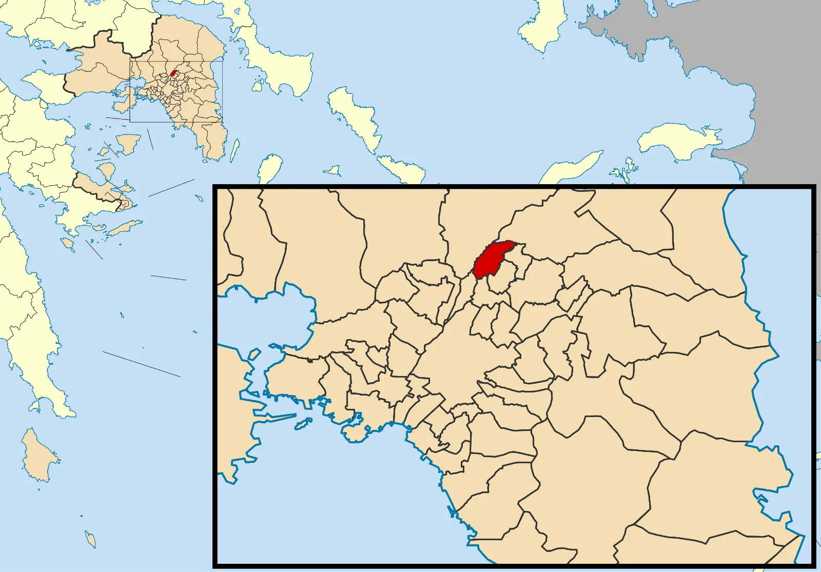
- Location: Greece
- Top sights: Mount Parnitha National Park · Xerovouni · Ntrasiza
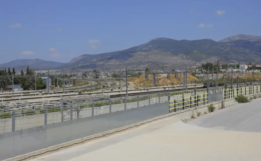
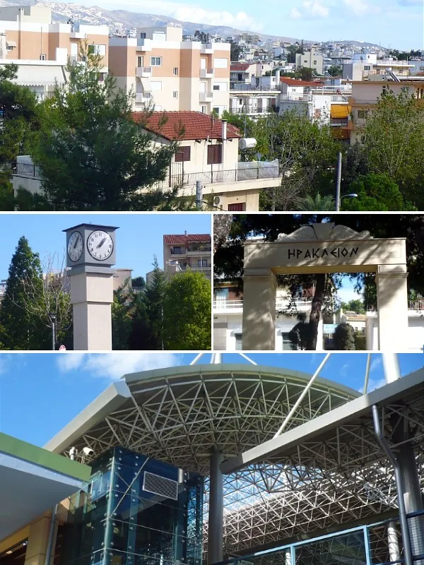
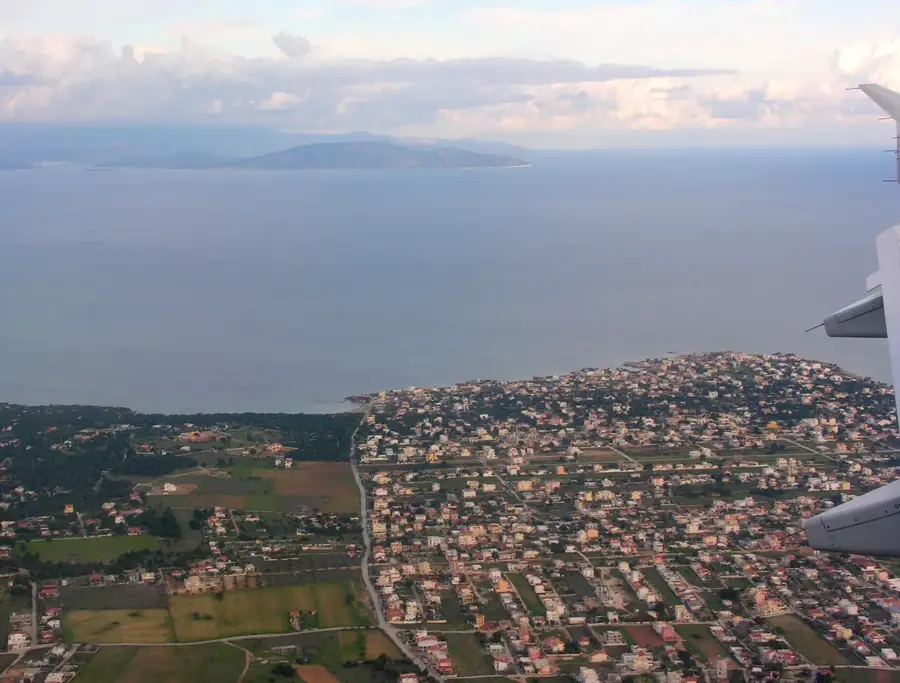
- Nearby: Acharnes (9 km)
Best time to visit & climate
The most pleasant time to visit is May, Sep, Oct.
| Jan | Feb | Mar | Apr | May | Jun | Jul | Aug | Sep | Oct | Nov | Dec | |
|---|---|---|---|---|---|---|---|---|---|---|---|---|
| Avg °C | 9 | 10 | 12 | 15 | 20 | 25 | 28 | 27 | 24 | 19 | 15 | 11 |
| Rain mm | 66 | 58 | 53 | 30 | 21 | 20 | 12 | 8 | 29 | 49 | 69 | 86 |
📋 Practical info
Geography
Facts
- Highest peak Karavola reaches 1,413 meters.
- Designated as a National Park since 1961.
- Key sanctuary for red deer in the Attica region.
- Home to more than 1,000 recorded plant species.
- Site of the former Tatoi Royal Palace and estate.
- Features two mountain refuges: Bafi and Flampouri.
Explore nearby
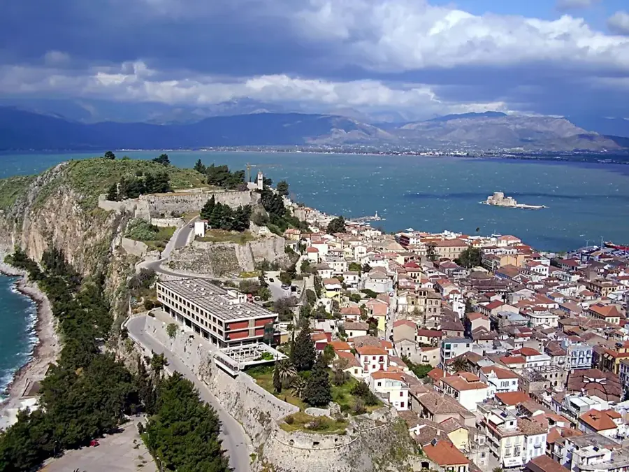
Notable places around
Route planner — Car & Motorhome
Where do you start? We build the route here, with stops and country notes along the way.
© OpenStreetMap contributors · OpenRouteService
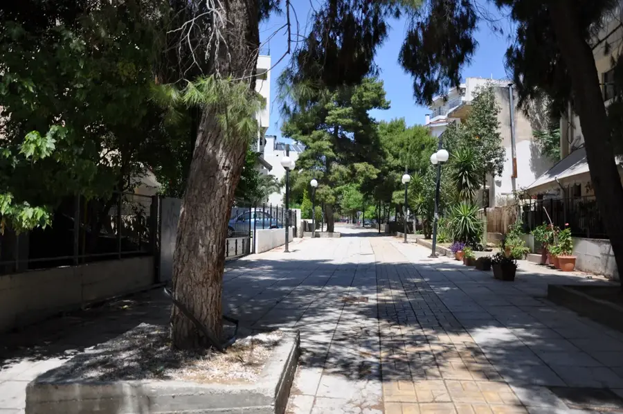
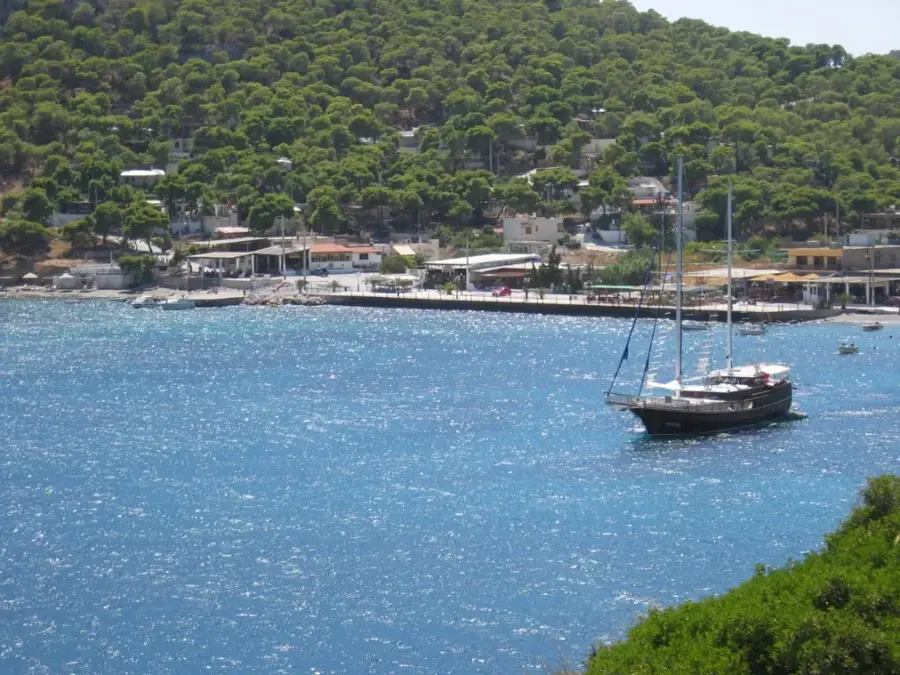
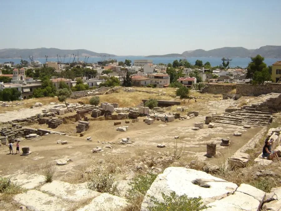
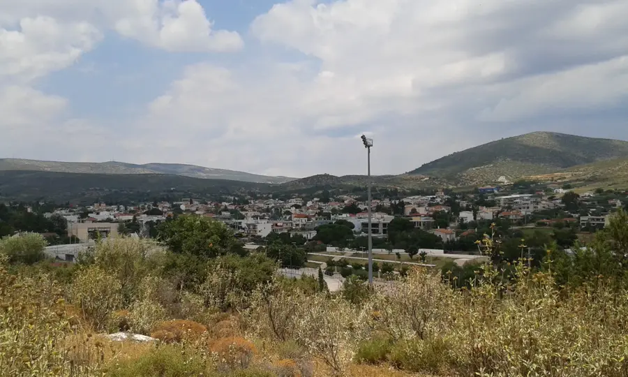
Sights in the town Mount Parnitha (4)
Sights nearby
Frequently asked questions
How close is Parnitha to Athens?
Is there a cable car up the mountain?
What animals can be observed here?
Is Parnitha a national park?
Are there mountain refuges for hikers?
Mount Parnitha: where is it located?
Mount Parnitha: what is there to see?
Mount Parnitha: when is the best time to visit?
Mount Parnitha: why is it worth visiting?

Nearby cities