Plizio Visual Lab
Fichtel Mountains
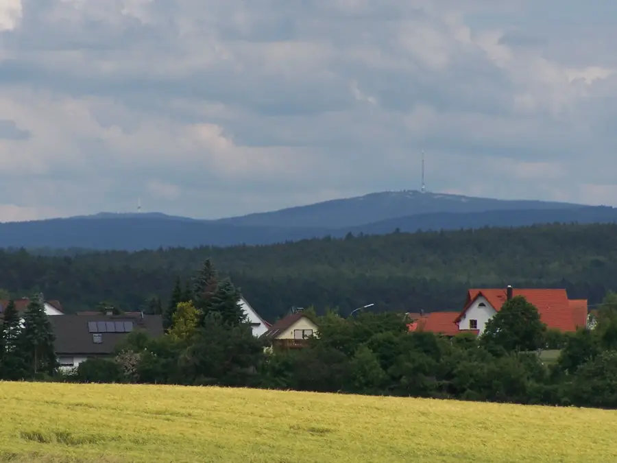
The Fichtel Mountains are a horseshoe-shaped central upland range in northeastern Bavaria, geologically recognized as one of Germany's oldest mountain systems. They consist predominantly of granite formed during the Carboniferous period, roughly 300 million years ago, through deep crustal intrusions later exposed by erosion. The highest peak is the Schneeberg at 1,051 meters, followed by the Ochsenkopf at 1,024 meters. A unique feature of the range is its role as a central European watershed, serving as the source for the Main, Saale, Eger, and Naab rivers, which drain into three different seas. The landscape is characterized by dense spruce forests, high moors, and striking granite blockfields, such as those found in the Luisenburg Rock Labyrinth. Historically, the region held great economic significance due to the mining of tin, iron, and gold, as well as glassmaking and the porcelain industry centered in Selb.
- Location: Thuringia, Germany
- Top sights: Burgstall Rudolfstein · Schneeberggipfel · Asenturm
- Nearby: Wunsiedel (12 km)
Best time to visit & climate
The most pleasant time to visit is Jun–Aug.
| Jan | Feb | Mar | Apr | May | Jun | Jul | Aug | Sep | Oct | Nov | Dec | |
|---|---|---|---|---|---|---|---|---|---|---|---|---|
| Avg °C | -3 | -2 | 2 | 8 | 12 | 16 | 18 | 18 | 13 | 8 | 3 | -1 |
| Rain mm | 65 | 50 | 53 | 41 | 73 | 71 | 81 | 73 | 60 | 57 | 62 | 68 |
📋 Practical info
Geography
Facts
- Highest point is the Schneeberg at 1,051 meters.
- Source of four major rivers: Main, Saale, Eger, and Naab.
- The Luisenburg Labyrinth is Europe's largest granite rock labyrinth.
- Granite deposits formed approximately 300 million years ago.
- The center of the German porcelain industry is in Selb.
- The mountain range covers an area of about 1,000 square kilometers.
Explore nearby
Notable places around
Route planner — Car & Motorhome
Where do you start? We build the route here, with stops and country notes along the way.
© OpenStreetMap contributors · OpenRouteService
Sights in the town Fichtel Mountains (7)
Sights nearby
Frequently asked questions
What is the highest peak in the Fichtelgebirge?
Are there winter sports facilities in the Fichtelgebirge?
What is the Luisenburg Rock Labyrinth?
Which industry is the Selb region famous for?
When is the best time for hiking in the Fichtelgebirge?
Fichtel Mountains: where is it located?
Fichtel Mountains: what is there to see?
Fichtel Mountains: when is the best time to visit?
Fichtel Mountains: why is it worth visiting?

Nearby cities