Plizio Visual Lab
Weser
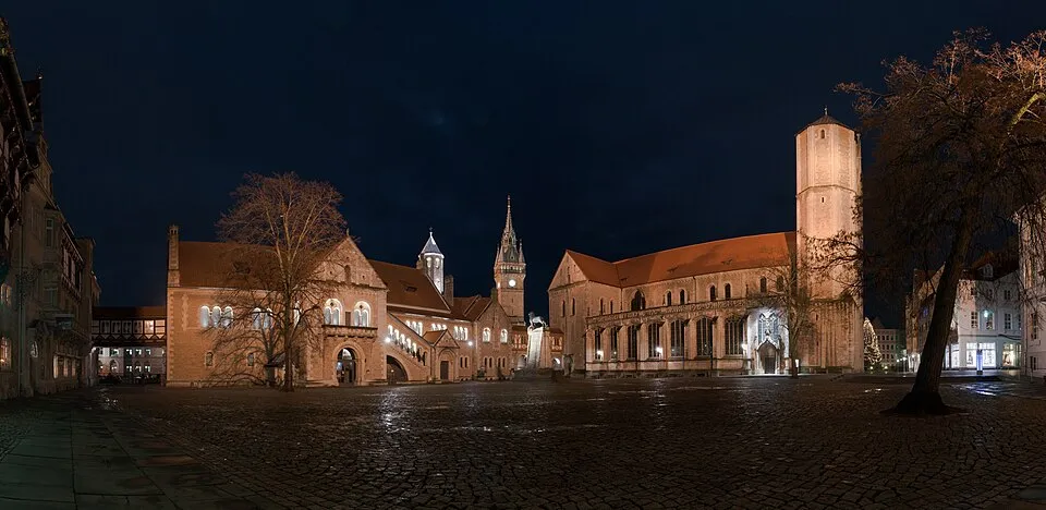
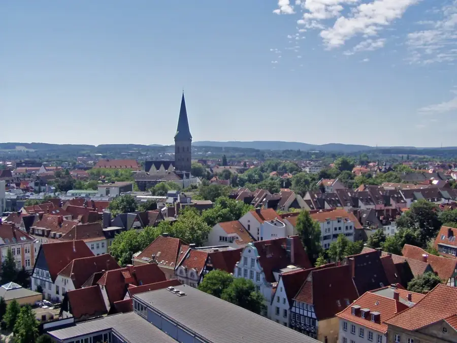
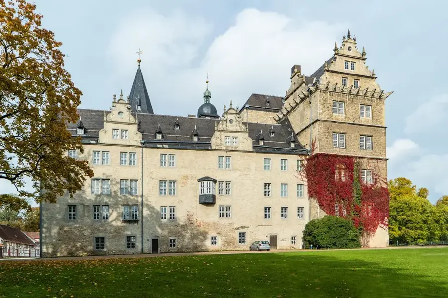
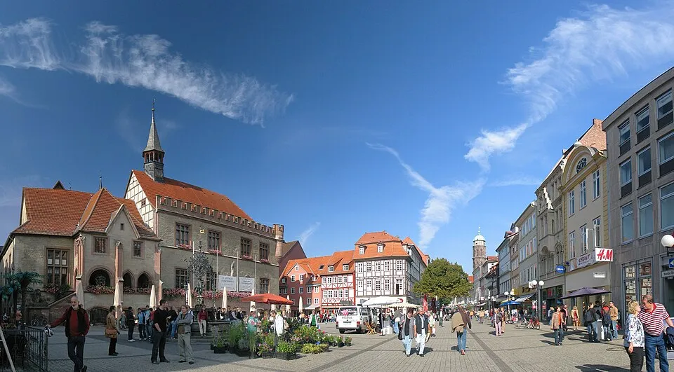
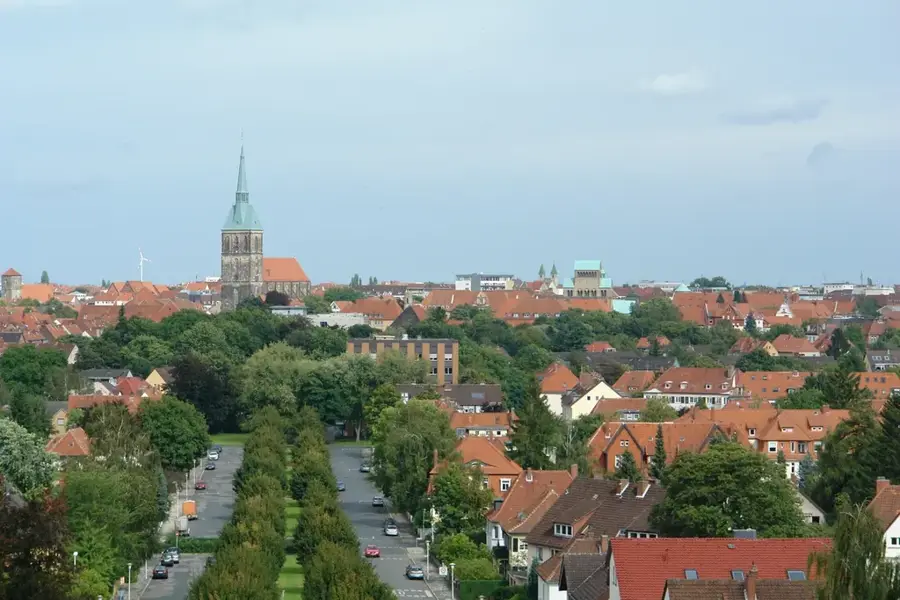
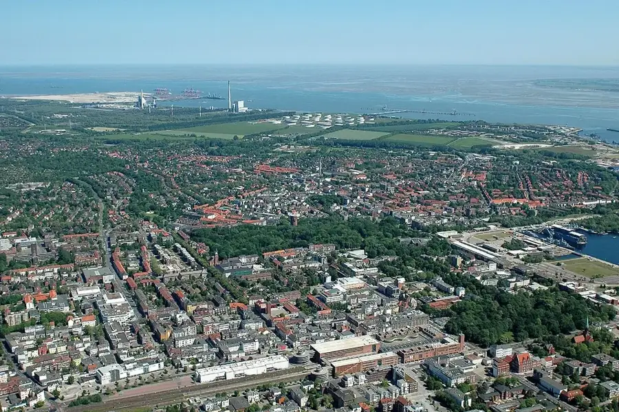
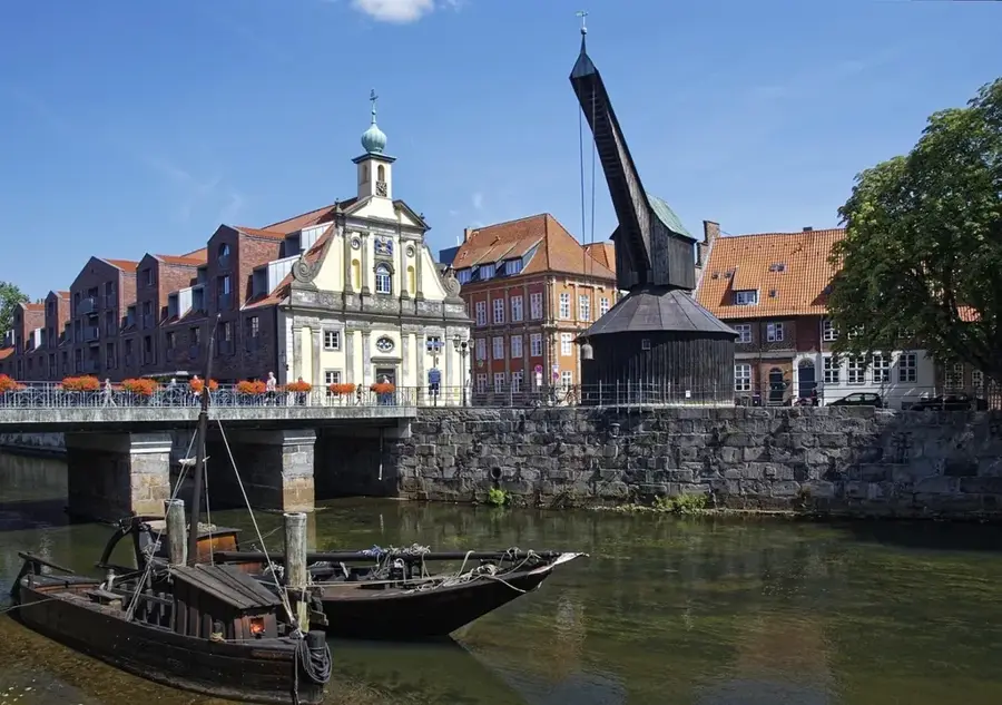
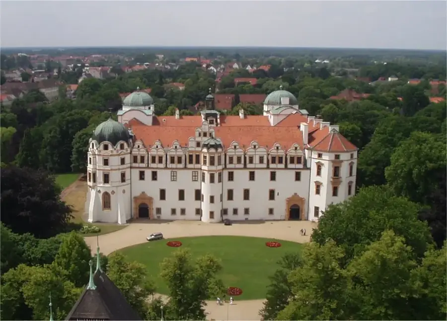
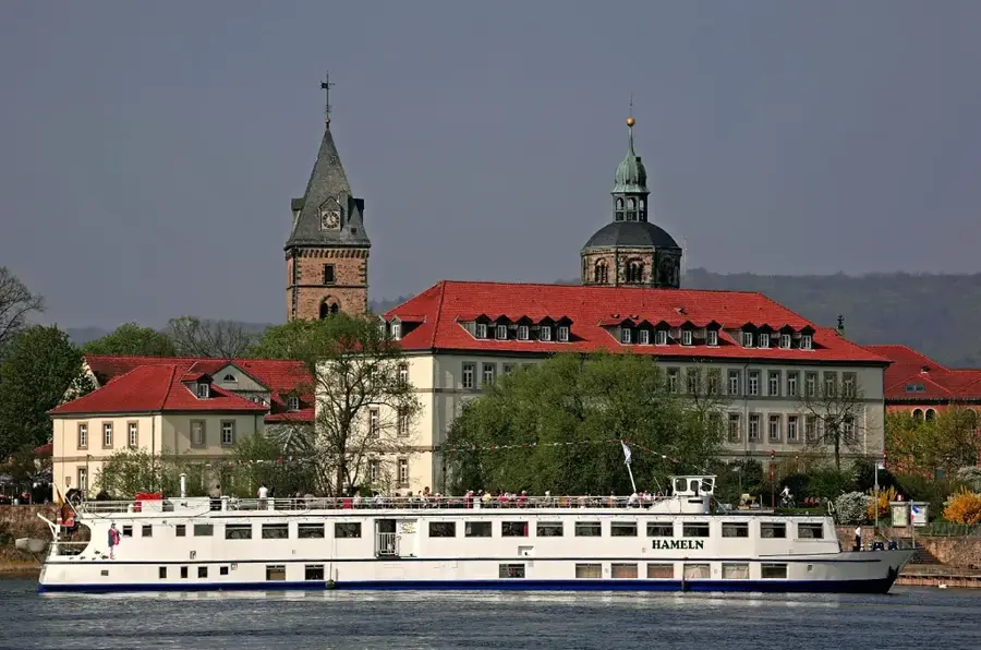
The Weser is a major river in Germany, formed in Hann. Münden by the confluence of the Werra and Fulda rivers, and emptying into the North Sea at Bremerhaven after 452 kilometers. It is the only large German river whose entire drainage basin lies within the country, uniquely connecting the central highlands with the North German Plain. Along its course, the Weser passes historic cities such as Hamelin, Minden, and Bremen, with the Town Musicians of Bremen being one of the region's most famous legends. The Weser Renaissance is a distinct 16th and 17th-century architectural style that can be admired in many castles and townhouses along the river. Economically, the river serves as a vital inland waterway, particularly for transporting goods to the major northern seaports. The Weser Uplands offer diverse landscapes for tourism, including the popular Weser Cycle Path, one of Germany's most frequented cycling routes. Its ecological significance is evident in the vast marshlands and the Wadden Sea areas at its estuary.
- Location: Lower Saxony, Germany
- Top sights: Surfstrand Mardorf · Badestrand Weiße Düne
- Nearby: Steinhude (5 km)
Best time to visit & climate
The most pleasant time to visit is Jun–Aug.
| Jan | Feb | Mar | Apr | May | Jun | Jul | Aug | Sep | Oct | Nov | Dec | |
|---|---|---|---|---|---|---|---|---|---|---|---|---|
| Avg °C | 1 | 1 | 4 | 9 | 13 | 17 | 19 | 18 | 15 | 10 | 5 | 2 |
| Rain mm | 69 | 50 | 50 | 38 | 60 | 62 | 78 | 69 | 55 | 59 | 62 | 68 |
📋 Practical info
Geography
Facts
- Formed in Hann. Münden by the confluence of the Werra and Fulda.
- Total length is 452 km from Münden to the North Sea.
- The drainage basin covers an area of 46,306 km².
- The Weser Cycle Path extends for about 520 km along the river.
- The Porta Westfalica is the point where the Weser breaks through the Wiehen Hills.
- Bremen received city rights in 1229 and is located directly on the Weser.
Explore nearby
Notable places around
Route planner — Car & Motorhome
Where do you start? We build the route here, with stops and country notes along the way.
© OpenStreetMap contributors · OpenRouteService
Sights in the town Weser (2)
Badestrand Weiße Düne🎡 recreation
Resting gracefully on the gentle banks of the Weser river near Nienburg, the Badestrand Weiße Düne provides an idyllic backdrop for sunny days. The riverside sandy beach conveys a delightfully welcoming inland holiday feel, openly inviting you for relaxed sunbathing. It is a great spot to stroll comfortably by the water or pause to watch the passing riverland scenery. Packing a lovely picnic is the absolute best way to fully enjoy a day on the Weser.
Sights nearby
Frequently asked questions
Where does the Weser originate?
How long is the Weser Cycle Path?
Which major cities are located on the Weser?
Is the Weser navigable?
Are there fairy tales along the Weser?
Weser: where is it located?
Weser: what is there to see?
Weser: when is the best time to visit?
Weser: why is it worth visiting?

Nearby cities