Plizio Visual Lab
Weilheim an der Teck
ℹ️Practical info — Weilheim an der Teck
▾
🌤 Weather — 5 days
📍 Nearby
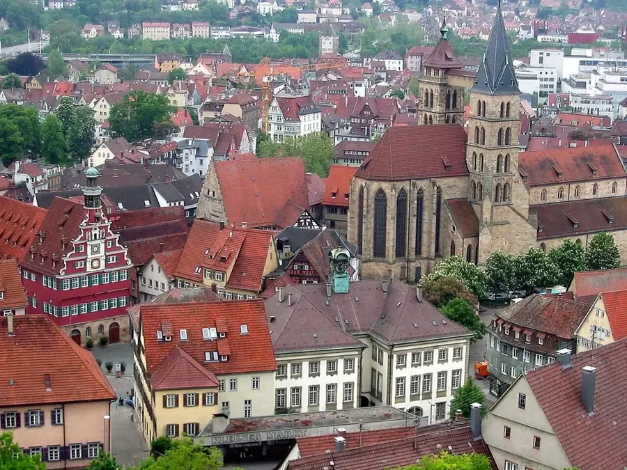
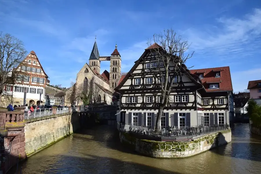
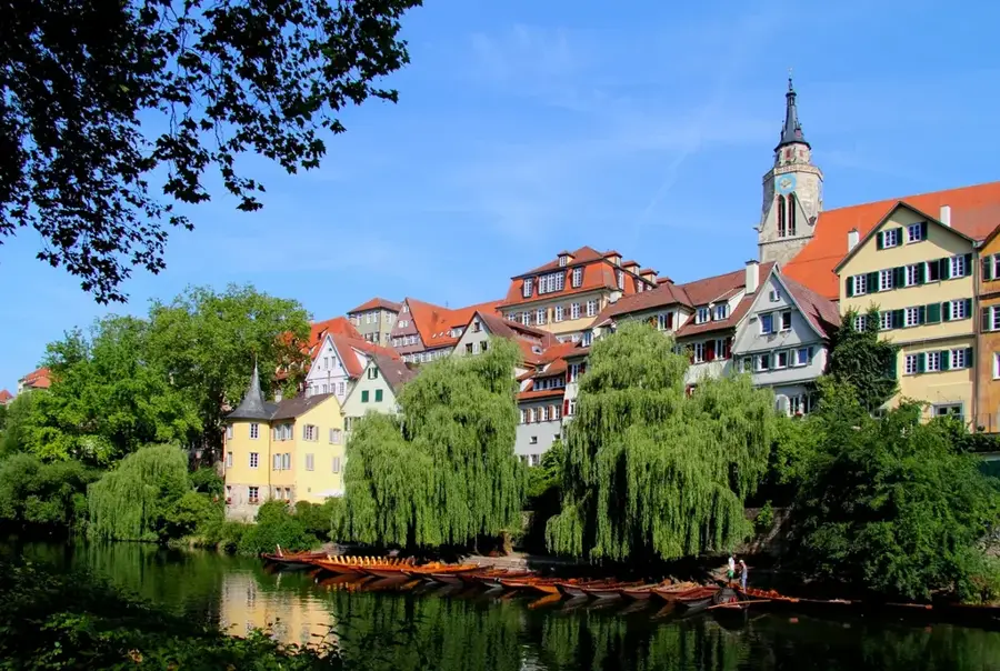
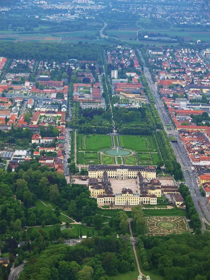
Sights nearby
💡 Tips
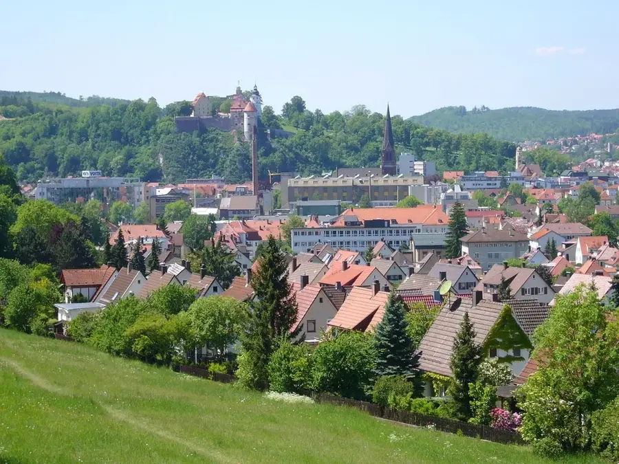
- Climb the Limburg hill for a panoramic view over the foothills of the Swabian Jura.
- Visit in spring during the cherry blossom season when the surrounding orchards are in full bloom.
- Park on the edge of the historic old town to explore the center comfortably on foot.
- Try the local cherry products, which are famous in this region.
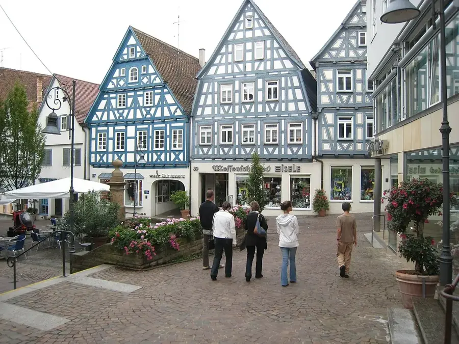
- The market square with its historic town hall is the well-suited starting point for a city tour.
🍽 Food
In the traditional inns of the old town
In the cozy cafes around the market square
At the traditional bakeries in the center
🛍 Shopping · 🧘 Quiet spots
Juices and must directly from local producers on the outskirts
At the weekly market around the historic market square
Peace and wide views from the top of the local hill
Relaxing walks on the edge of town among the fruit trees
Water temperature…
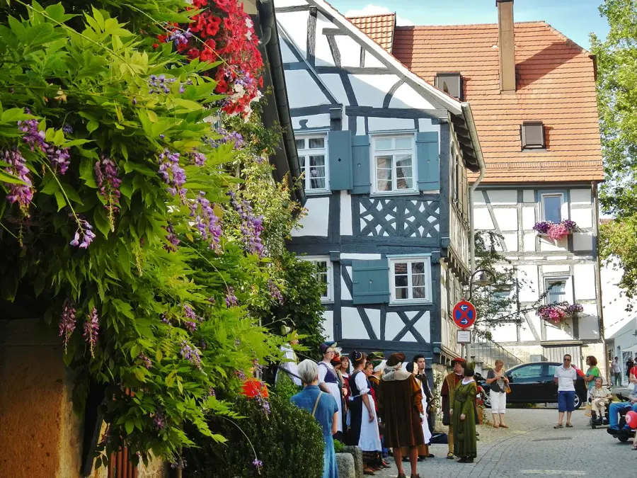
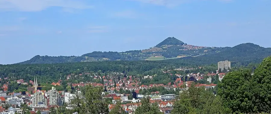
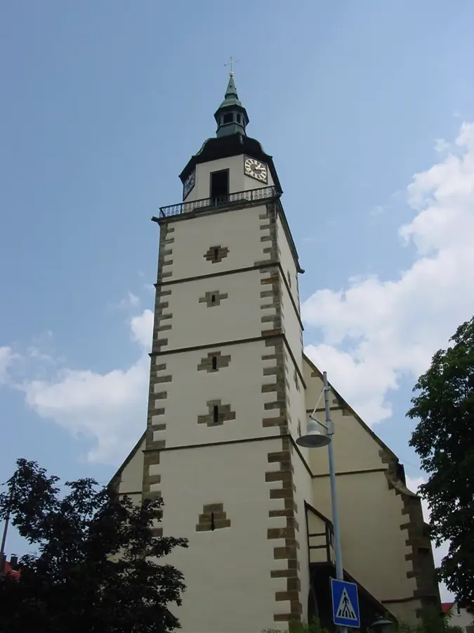
Weilheim an der Teck is a historic town in the district of Esslingen, set in the scenic landscape at the edge of the Swabian Jura. The town was systematically founded in the 11th century by the Dukes of Zähringen, a fact still evident in the regular layout of its old town. A prominent landmark is St. Peter's Church, which houses significant medieval murals. The local geography is dominated by the Limburg, a striking volcanic cone that is now a protected nature reserve and a popular hiking destination. Economically, the town relies on a robust mix of medium-sized enterprises and traditional agriculture. Weilheim is particularly renowned for its cherry cultivation; the surrounding orchards transform the region into a sea of white blossoms every spring and produce high-quality local fruits. As a gateway to the Swabian Jura Biosphere Reserve, the town gives numerous trails leading to the nearby Teck Castle, making it a hub for outdoor enthusiasts and history buffs alike.
- Location: Baden-Württemberg, Germany
- Top sights: St. Peter's Church · Limburg Hill · Market Square
- Nearby: Kirchheim unter Teck (7 km)
- Population: ~10.397
Best time to visit & climate
The most pleasant time to visit is Jun–Aug.
| Jan | Feb | Mar | Apr | May | Jun | Jul | Aug | Sep | Oct | Nov | Dec | |
|---|---|---|---|---|---|---|---|---|---|---|---|---|
| Avg °C | -1 | 0 | 4 | 8 | 13 | 17 | 19 | 18 | 14 | 9 | 4 | 0 |
| Rain mm | 65 | 49 | 58 | 56 | 96 | 88 | 98 | 93 | 62 | 68 | 62 | 68 |
Geography
Facts
- First documented in 769 AD in the Lorsch Codex.
- The total municipal area covers 26.51 square kilometers.
- The Limburg mountain rises to an elevation of 598 meters.
- St. Peter's Church was built in the 15th century in Late Gothic style.
- There are over 30,000 cherry trees within the city limits.
- Weilheim is located on the German Timber-Frame Road.
Explore nearby
Notable places around
Route planner — Car & Motorhome
Where do you start? We build the route here, with stops and country notes along the way.
© OpenStreetMap contributors · OpenRouteService
Sights in the town Weilheim an der Teck (6)
Frequently asked questions
What is the local mountain of Weilheim an der Teck?
What is Weilheim agriculturally known for?
How far is it to Teck Castle?
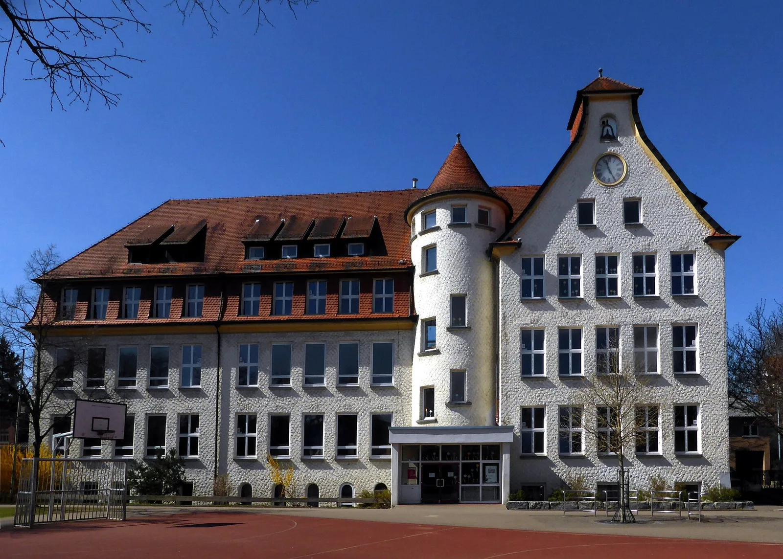
Are there historic buildings in the town center?
How is the connection to Stuttgart?
Weilheim an der Teck: where is it located?
Weilheim an der Teck: what is there to see?
Weilheim an der Teck: when is the best time to visit?
Weilheim an der Teck: why is it worth visiting?

Nearby cities