Plizio Visual Lab
Meßstetten
ℹ️Practical info — Meßstetten
▾
🌤 Weather — 5 days
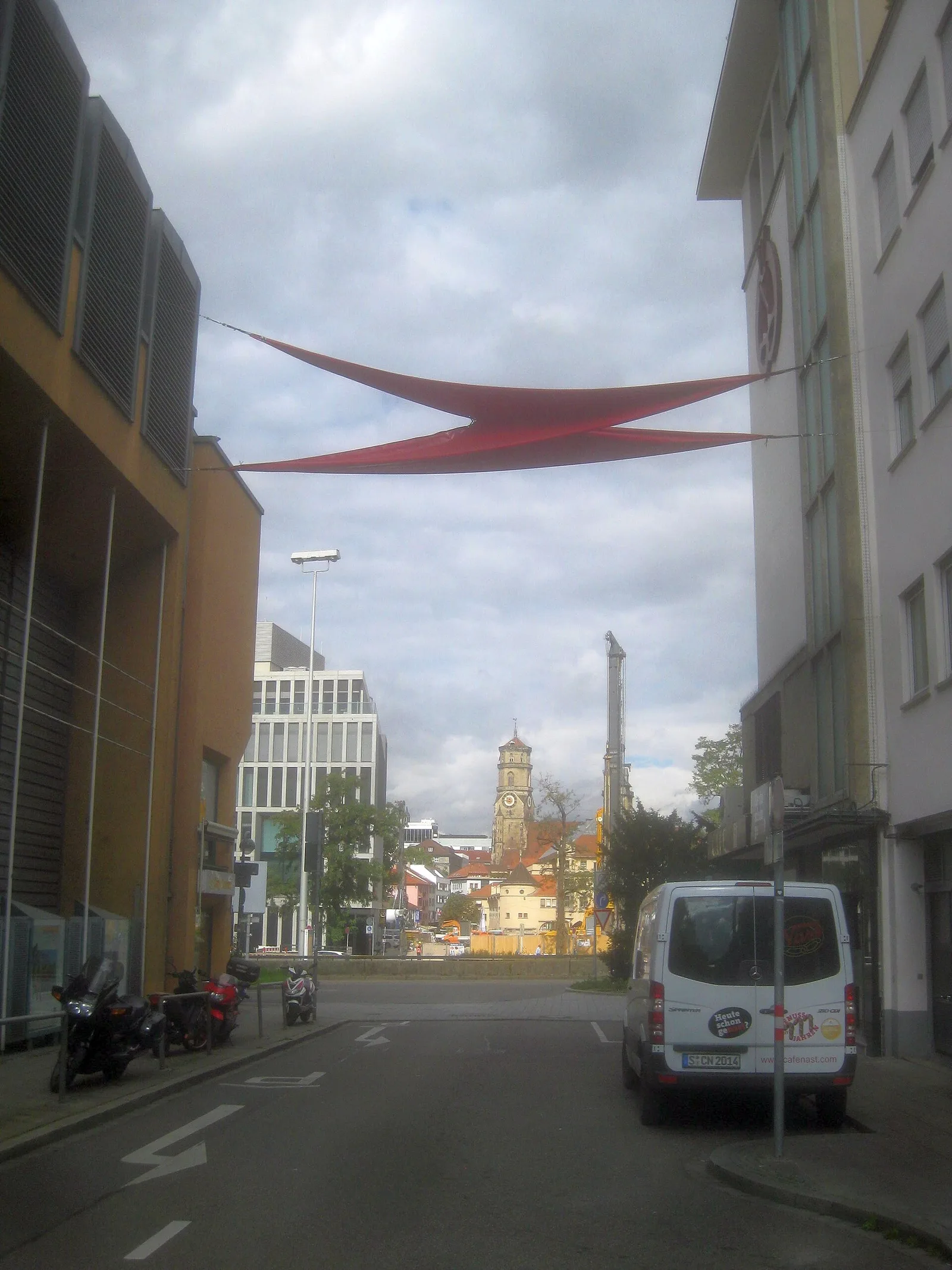
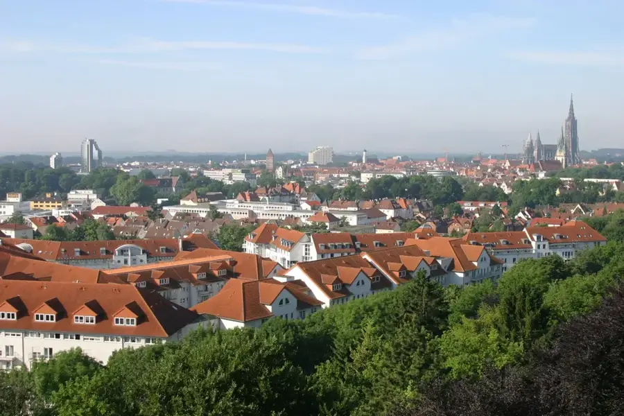
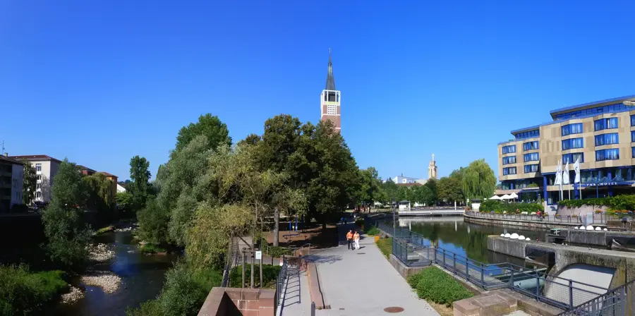
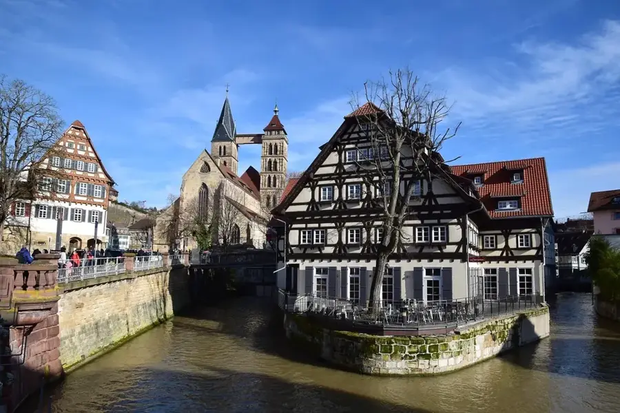
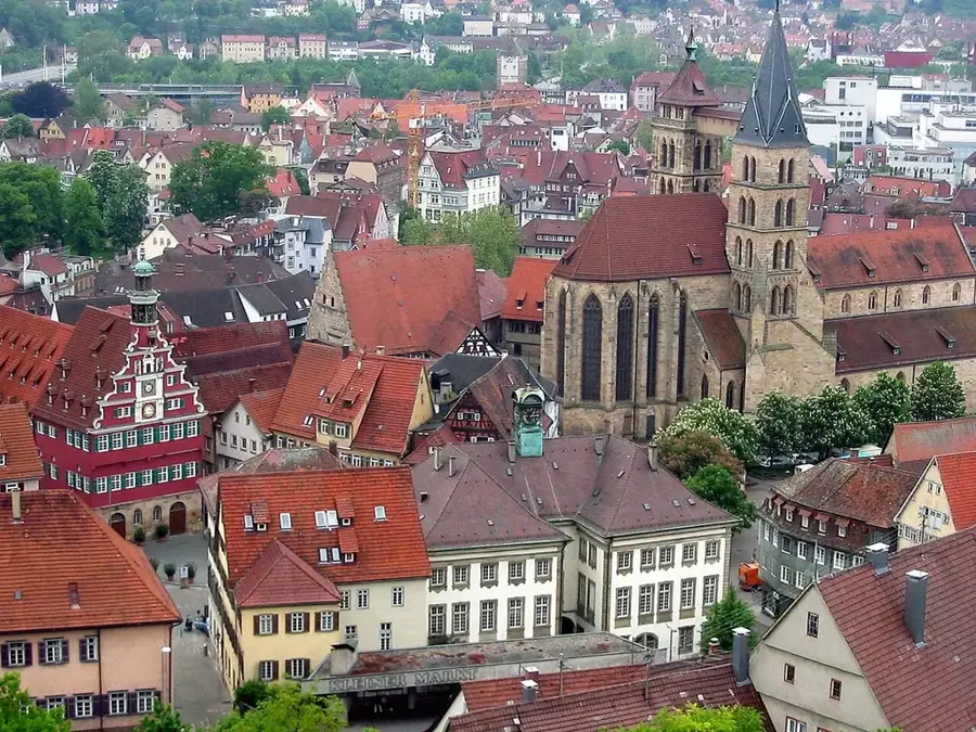
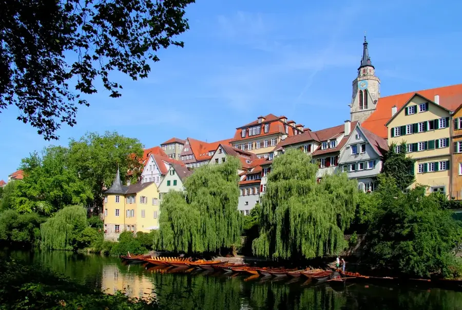
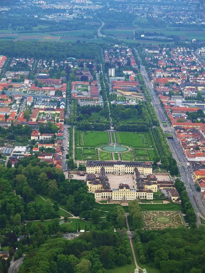
📍 Nearby
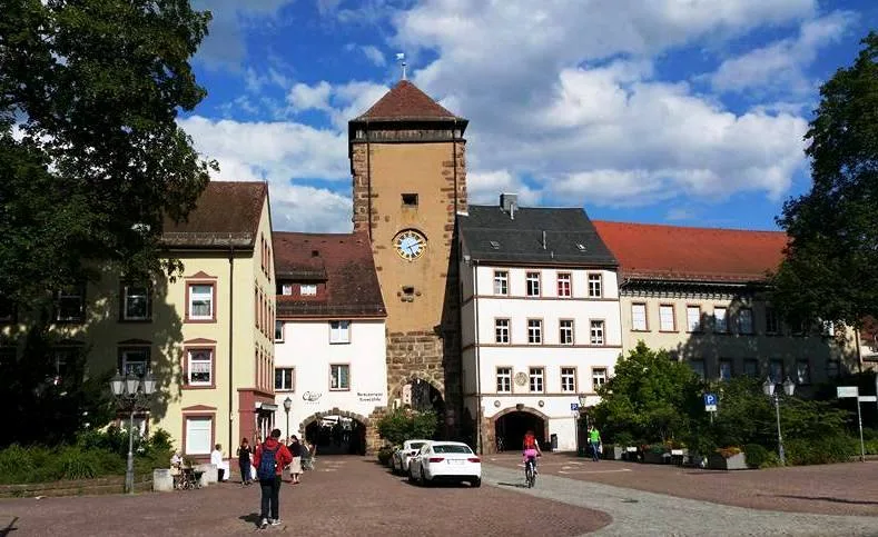
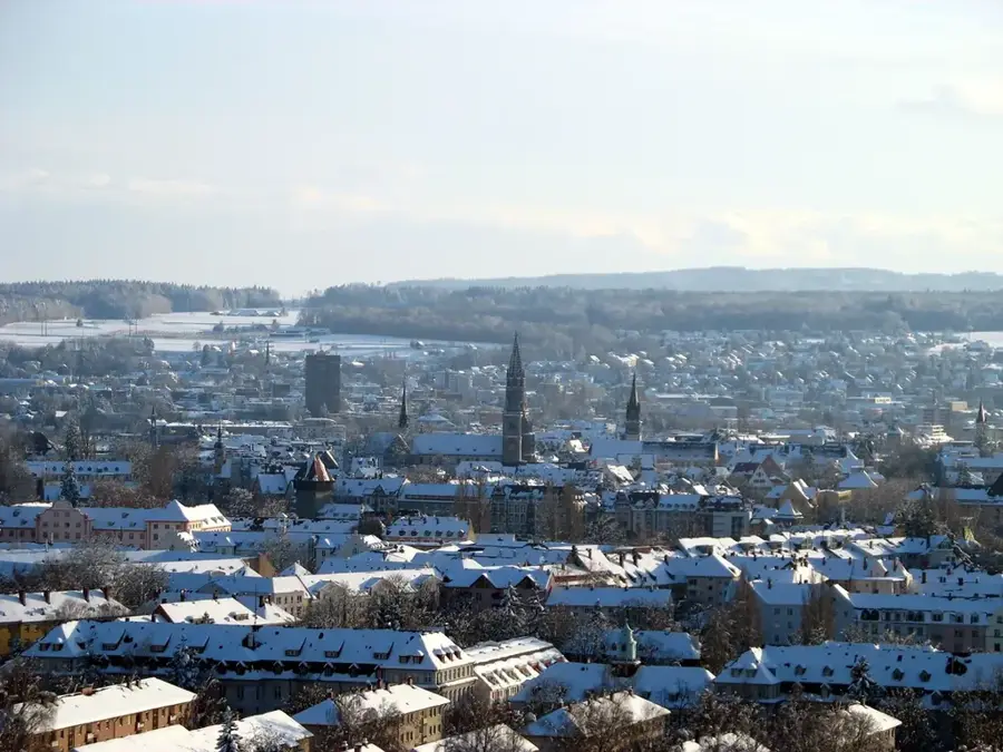
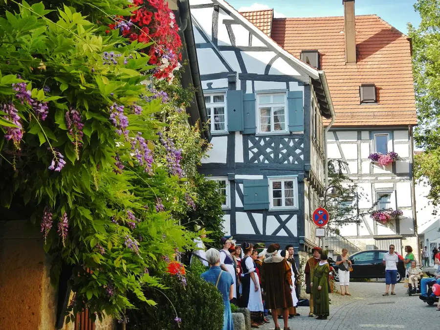
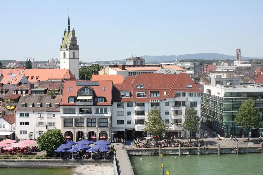
Sights nearby
💡 Tips
- Dress warmly due to the high altitude on the Heuberg, a cool wind often blows even in summer.
- The edges of the Albtrauf offer spectacular views; however, be careful near the drop-offs in wet weather.
- In winter, the region is a paradise for cross-country skiing; check the current trail reports in advance.
- A car is essential here to easily reach the scattered viewpoints and hiking parking lots.
🍽 Food
A must-try in the region; best enjoyed handmade in one of the country inns on the Heuberg.
A classic Swabian dish that you can find in the traditional restaurants in the town center.
Look out for menus offering regional lamb, a true local delicacy.
🛍 Shopping · 🧘 Quiet spots
Buy the famous Swabian Jura lentils in local delicatessens or village shops.
Get fresh lye pretzels (Laugenbrezel) for your hiking picnic.
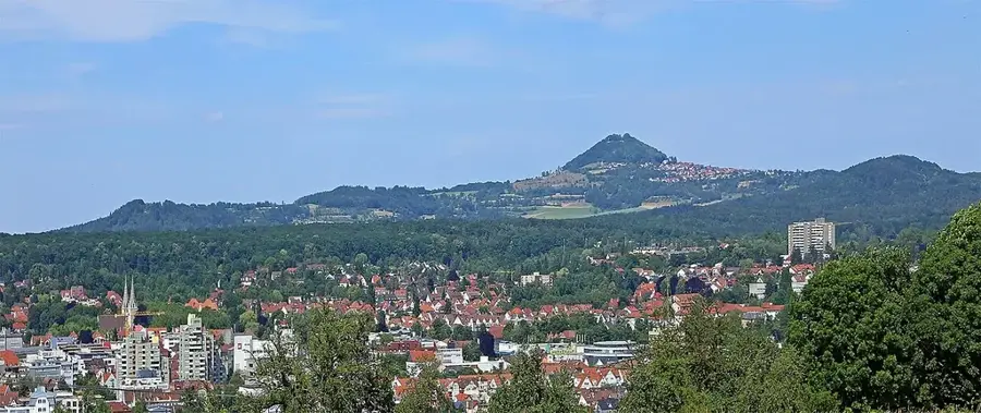
A short drive away, this mountain gives a quiet atmosphere and fantastic views from the Albtrauf.
Enjoy the vastness and solitude of the plateau during an extended walk.
Water temperature…
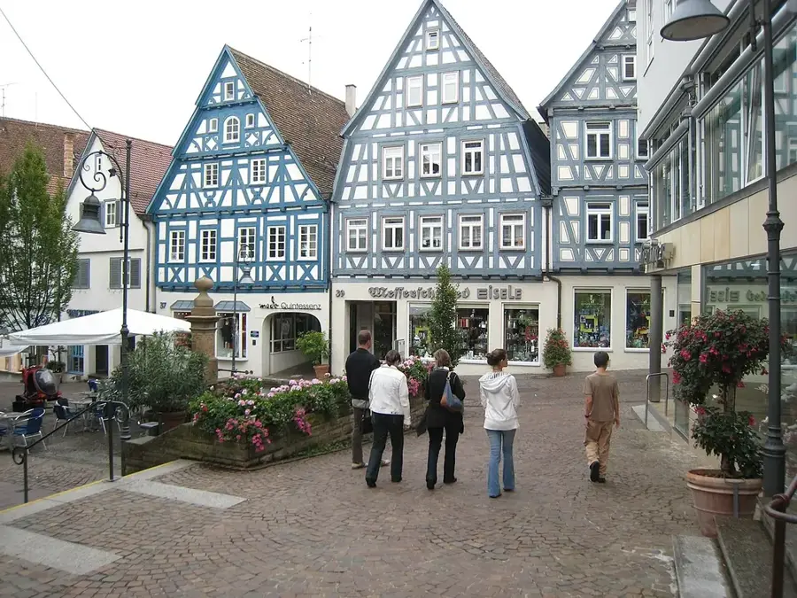
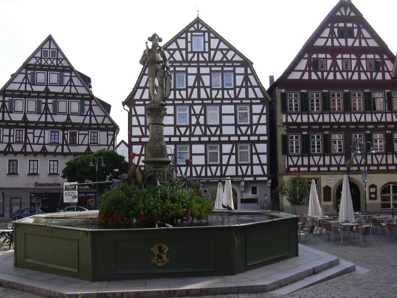
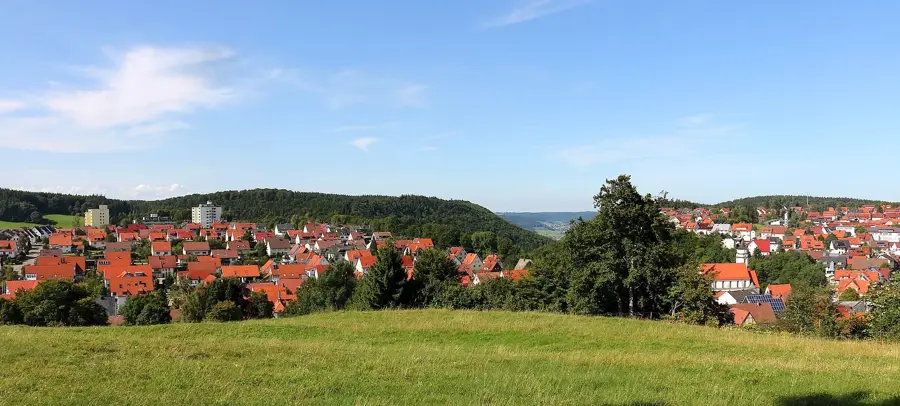
Located in the ruggedly beautiful Swabian Jura (Schwäbische Alb), Meßstetten proudly holds the title of the highest city in the state of Baden-Württemberg. Sitting at an altitude of nearly 1,000 meters above sea level on the Großer Heuberg plateau, this destination is a true paradise for nature lovers and outdoor enthusiasts. During the winter months, the snow-covered landscape transforms into a popular hub for winter sports, offering excellent cross-country skiing trails, photogenic snowshoeing routes, and a local ski lift for downhill enthusiasts. As the snow melts in spring, the region reveals a vast and well-maintained network of hiking and mountain biking trails. One of the most spectacular natural features is the Albtrauf, a steep escarpment that provides dramatic panoramic views; on a clear day, you can even see the snow-capped peaks of the Swiss Alps in the distance. The unspoiled natural surroundings are characterized by unique juniper heaths, dense forests, and wildflower meadows. After a day of exploring the great outdoors, visitors can unwind in cozy Swabian inns, enjoying hearty and delicious regional specialties. Meßstetten perfectly combines athletic adventure, rural tranquility, and genuine hospitality, making it a well-suited base camp for anyone looking to experience the wild, untouched beauty of the Swabian Jura away from the crowds.
- Location: Baden-Württemberg, Germany
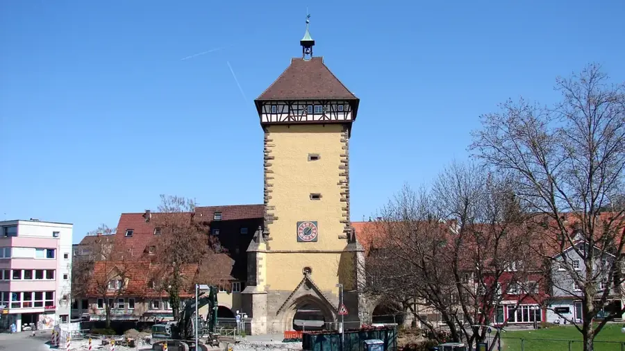
- Top sights: Burg Vogelfels · Museum für Volkskunst · Wildgehege Meßstetten
- Nearby: Albstadt (6 km)
- Population: ~11.086
Best time to visit & climate
The most pleasant time to visit is Jun–Aug.
| Jan | Feb | Mar | Apr | May | Jun | Jul | Aug | Sep | Oct | Nov | Dec | |
|---|---|---|---|---|---|---|---|---|---|---|---|---|
| Avg °C | -2 | -1 | 3 | 8 | 12 | 16 | 18 | 17 | 13 | 9 | 3 | -1 |
| Rain mm | 68 | 54 | 66 | 67 | 109 | 108 | 109 | 106 | 76 | 80 | 68 | 77 |
Geography
Facts
- Highest point in the urban area: 989 m (Weichenwang)
- Total area of the territory: 76.82 km²
- Elevation of the market square: approx. 907 m above sea level
- Founding of the modern town: 1970s (reform)
- District: Zollernalbkreis
- Geographic coordinates: 48° 10' N, 8° 57' E
Explore nearby
Notable places around
Route planner — Car & Motorhome
Where do you start? We build the route here, with stops and country notes along the way.
© OpenStreetMap contributors · OpenRouteService
Sights in the town Meßstetten (8)
Museum für Volkskunst🏛 museum
A museum in Meßstetten showcasing traditional folk art and regional craftsmanship.
Frequently asked questions
Why is Meßstetten called one of the highest cities?
Which hiking trails are particularly recommended?
Can you go skiing in Meßstetten?
What is the military significance of the town?
Is there a museum nearby?
Meßstetten: where is it located?
Meßstetten: what is there to see?
Meßstetten: when is the best time to visit?
Meßstetten: why is it worth visiting?

Nearby cities