Plizio Visual Lab
Burladingen
ℹ️Practical info — Burladingen
▾
🌤 Weather — 5 days
📍 Nearby
Sights nearby
💡 Tips
- Visit the Roman fort ruins (Kastell Burladingen).
- Great starting point for hiking the Swabian Jura trails.
- Check out the local textile outlets for bargains.
- Parking is generally free or very cheap in the town center.
🍽 Food
Try these traditional Swabian meat-filled dumplings at a traditional inn in the town center.
Lentils with handmade Swabian noodles and sausages, a staple dish served in local restaurants.
Roast beef with onions, best enjoyed in a cozy local tavern with a Swabian beer.
🛍 Shopping · 🧘 Quiet spots
Burladingen is known for its textile manufacturing; visit the factory outlet stores along the main road for high-quality clothing.
Buy fresh regional produce and Swabian specialties at the local farmers' market.
Take a peaceful walk through this scenic valley just outside the town, first-rate for nature lovers.
Hike up to these castle ruins for a quiet atmosphere and panoramic views of the Swabian Jura.
Water temperature…
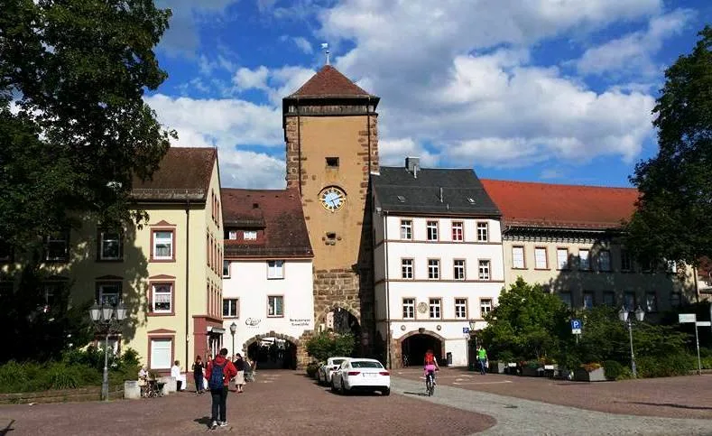
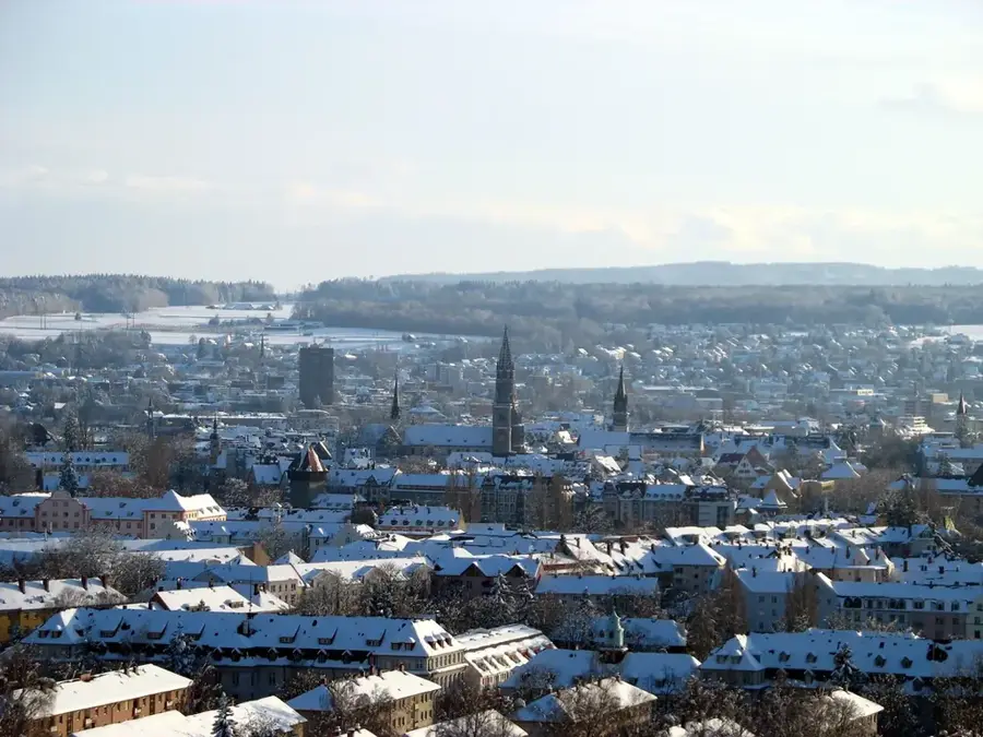
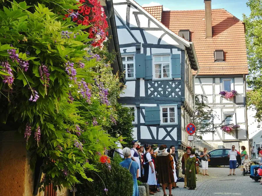
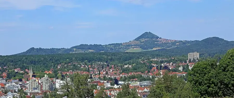
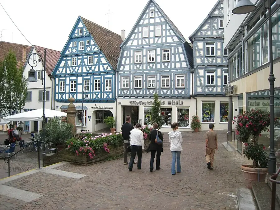
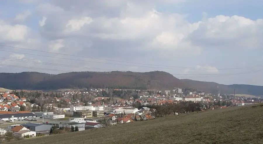
Burladingen stretches across the high plateau of the Swabian Jura in the Zollernalbkreis. The town's history is deeply rooted in Roman antiquity, evidenced by the Roman fort in the Hausen district, which once secured the Roman border. In the 20th century, Burladingen evolved into a center of the textile industry, a sector that still defines the town today. Burladingen is widely known as the headquarters of the company Trigema, one of the last major clothing manufacturers that produces exclusively in Germany. Geographically, the town is shaped by the rugged yet fascinating beauty of the Jura, featuring deep valleys and expansive highlands. Hiking trails lead to spectacular viewpoints such as the Köhlberg. Culturally, the town maintains Swabian customs, particularly during the Carnival (Fasnet). Despite its industrial character, Burladingen has preserved its rural charm and features high leisure value through the adjacent Upper Danube Nature Park.
- Location: Baden-Württemberg, Germany
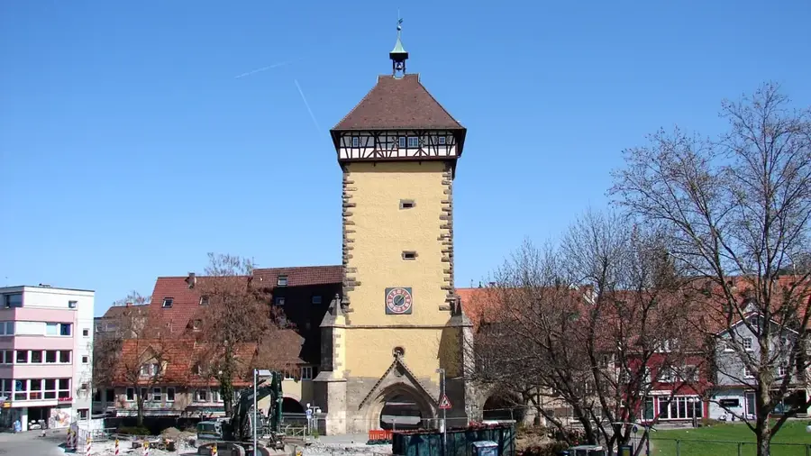
- Top sights: Hohenmelchingen Castle Ruins · St. Fidelis Church · Ringelstein
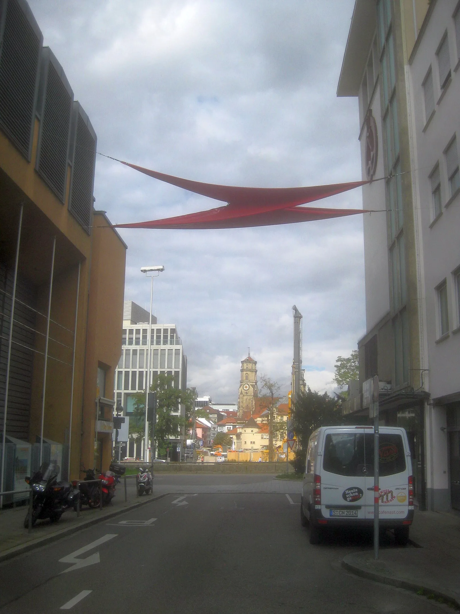
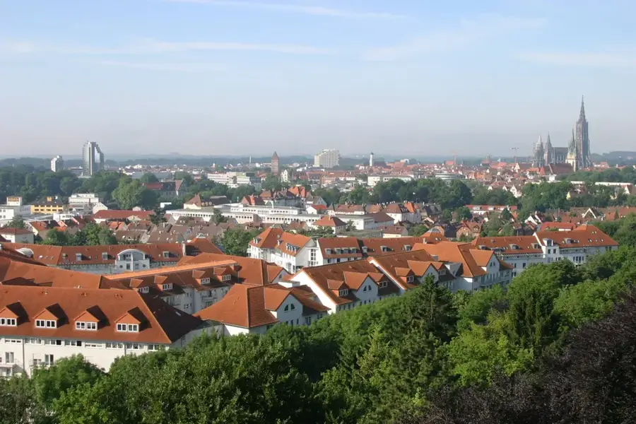
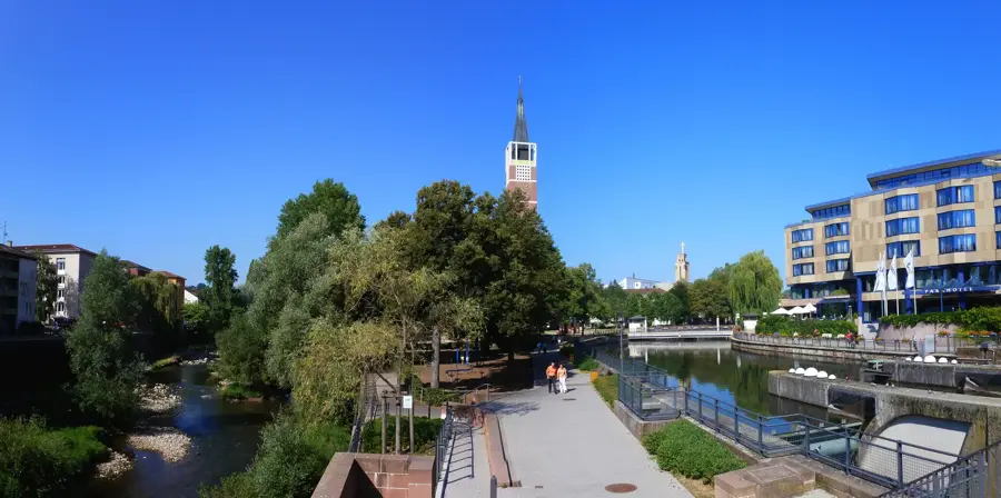
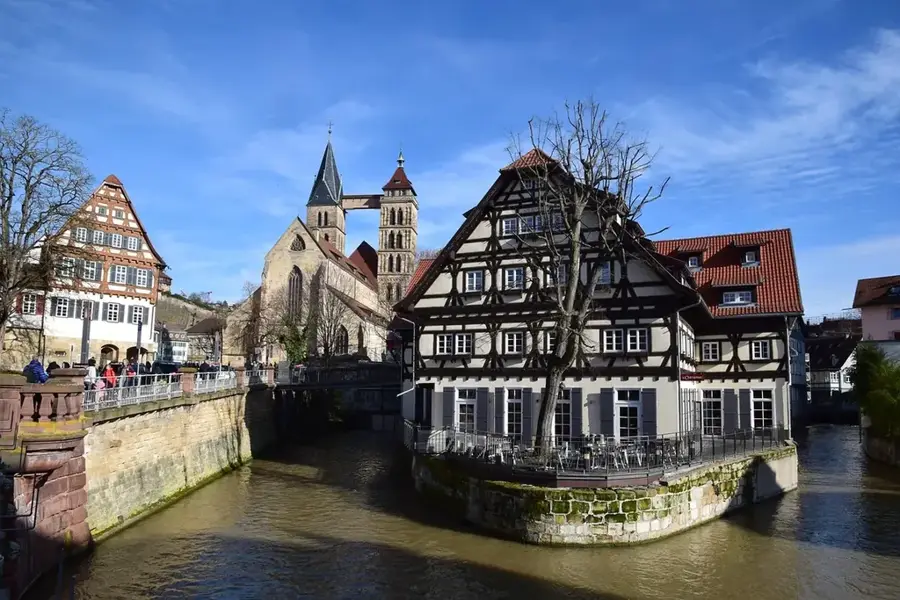
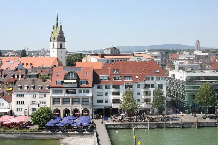
- Nearby: Gammertingen (9 km)
- Population: ~12.263
Best time to visit & climate
The most pleasant time to visit is Jun–Aug.
| Jan | Feb | Mar | Apr | May | Jun | Jul | Aug | Sep | Oct | Nov | Dec | |
|---|---|---|---|---|---|---|---|---|---|---|---|---|
| Avg °C | -1 | 0 | 4 | 8 | 13 | 17 | 18 | 18 | 14 | 9 | 4 | 0 |
| Rain mm | 80 | 61 | 68 | 59 | 100 | 87 | 96 | 92 | 66 | 77 | 72 | 85 |
Geography
Facts
- Elevation: 722 to 933 meters above sea level.
- The Burladingen fort was part of the Alb Limes.
- Textile industry since the mid-19th century.
- Belonged to Hohenzollern-Sigmaringen until 1945.
- Connected to the Hohenzollerische Landesbahn railway.
- Area of the municipal territory: 123.33 km².
Explore nearby
Notable places around
Route planner — Car & Motorhome
Where do you start? We build the route here, with stops and country notes along the way.
© OpenStreetMap contributors · OpenRouteService
Sights in the town Burladingen (9)
Frequently asked questions
What is the most famous brand from Burladingen?
What natural beauties are nearby?
Are there castles in the area?
Is Burladingen suitable for winter sports?
When is the weekly market?
Burladingen: where is it located?
Burladingen: what is there to see?
Burladingen: when is the best time to visit?
Burladingen: why is it worth visiting?

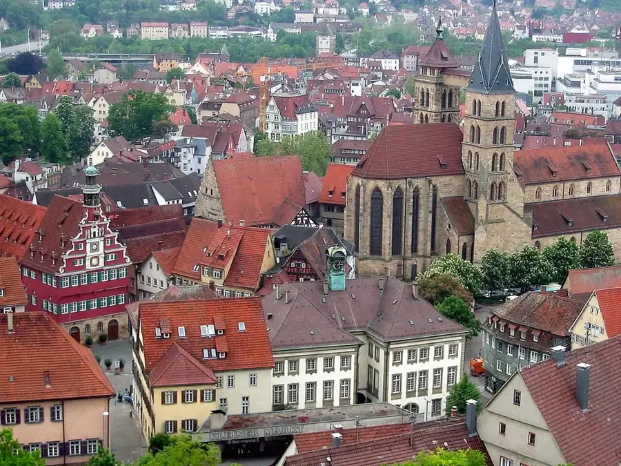
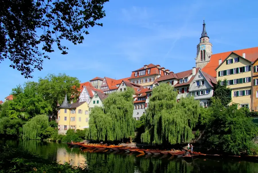
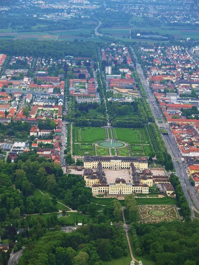
Nearby cities