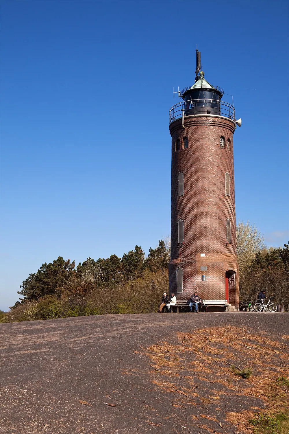
Böhler Leuchtturm
The Böhler Leuchtturm, a striking red-and-white striped lighthouse, is a beloved landmark situated on the sea dike of St. Peter-Ording on the North Sea coast. Constructed in 1892, this historic beacon was originally built with exposed brickwork but later received its iconic ringed daymark to increase visibility. Standing proudly against the dynamic backdrop of the Wadden Sea, the lighthouse has guided generations of mariners safely along the challenging coastal waters of the Eiderstedt peninsula.
Visitors to the Böhler Leuchtturm are treated to a quintessential North Sea maritime experience. While the tower itself is a working navigational aid and its interior is generally closed to the general public, the surrounding area offers immense natural beauty. The structure stands on the edge of the expansive salt marshes and the seemingly endless sandy beaches that define St. Peter-Ording. Its elevated position on the dike makes it a perfect photographic subject, especially when framed against dramatic maritime skies.
The area around the lighthouse is a haven for nature lovers, walkers, and cyclists. Exploring the nearby dike pathways provides sweeping views of both the flat, grassy coastal landscapes and the tidal flats. A visit to the Böhler Leuchtturm perfectly encapsulates the rugged, romantic charm of the Schleswig-Holstein Wadden Sea National Park.
Weather…
Best time to visit & climate
The most pleasant time to visit is Jun–Aug.
| Jan | Feb | Mar | Apr | May | Jun | Jul | Aug | Sep | Oct | Nov | Dec | |
|---|---|---|---|---|---|---|---|---|---|---|---|---|
| Avg °C | 2 | 2 | 4 | 8 | 12 | 15 | 18 | 18 | 15 | 11 | 7 | 4 |
| Rain mm | 90 | 71 | 60 | 44 | 59 | 76 | 86 | 99 | 85 | 97 | 90 | 94 |
Practical info
Tips
- Dress warmly, as the coastal winds on the dike can be strong year-round.
- Walk down to the wide beach at low tide for the best perspective of the lighthouse.
FAQ
What is the Böhler Leuchtturm?
Can visitors climb the lighthouse?
Where is it exactly located?
What else is there to do nearby?
Route planner — Car & Motorhome
Where do you start? We build the route here, with stops and country notes along the way.
© OpenStreetMap contributors · OpenRouteService
Attractions nearby
- Altenbruch/Wehldorf Unterfeuer 51 km
- Antennenträger Schillig (ehem.Oberfeuer) 77 km
- Bubendey-Ufer Oberfeuer 117 km
- Alter Leuchtturm Pagensand-Süd 117 km
- Årøsund Fyr 128 km
- Årø Fyr 128 km