Plizio Visual Lab

Kabafita Forest

Plizio editorial teamData Sources
Forest
—°2
Kabafita Forest (Gambia)

Weather…

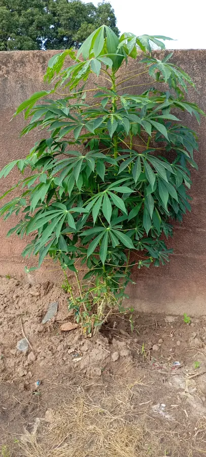
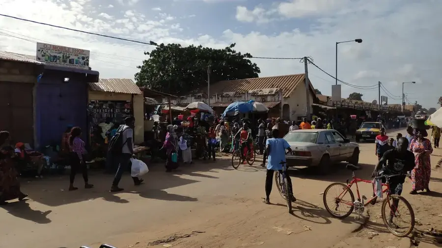
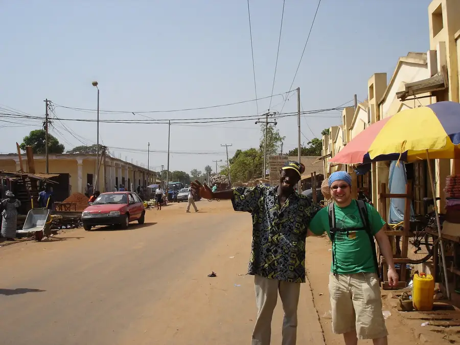
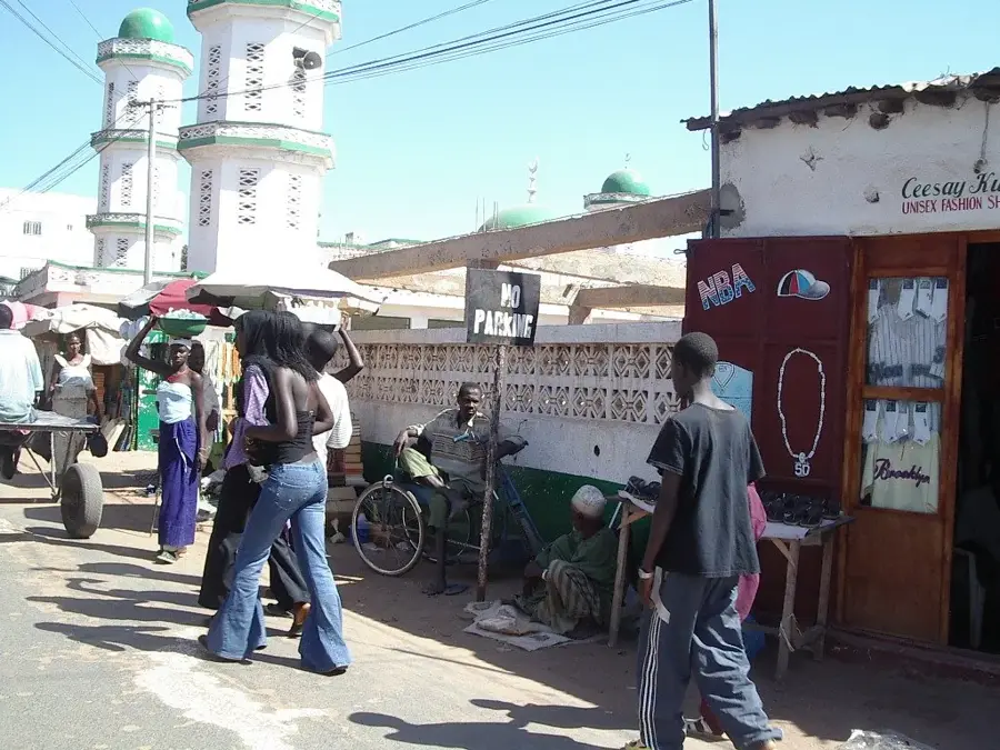
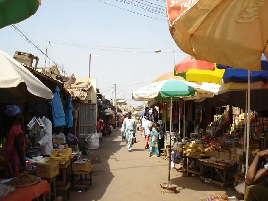
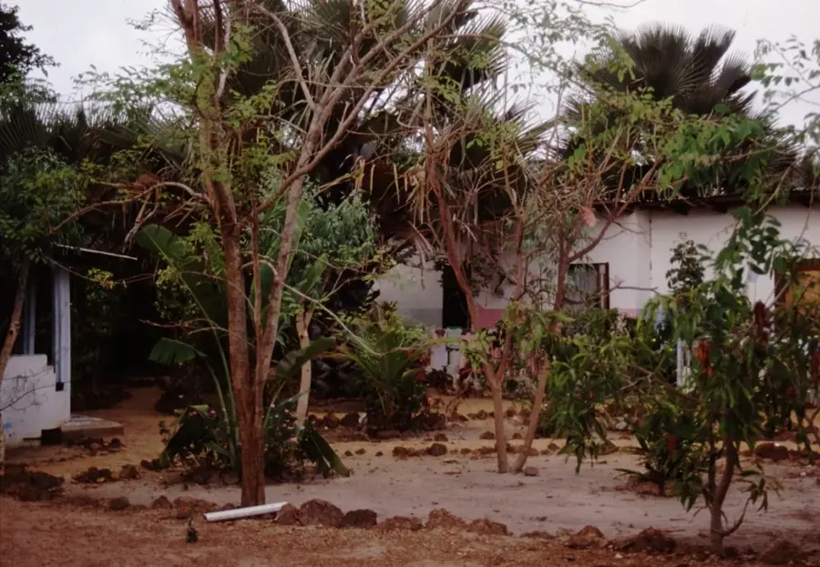
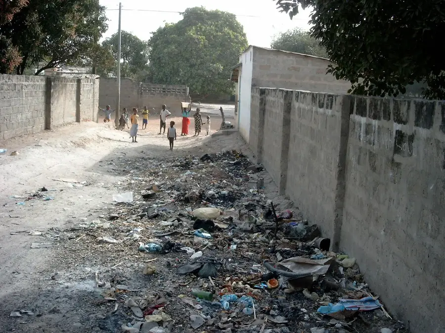
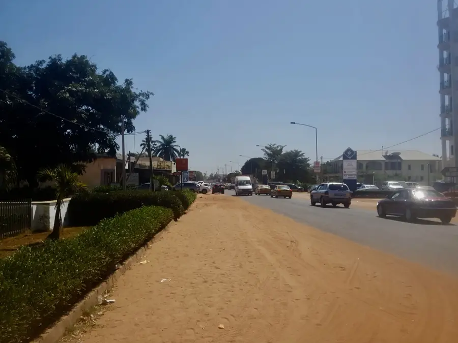
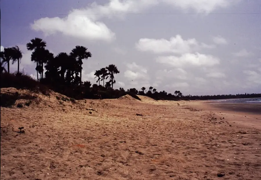
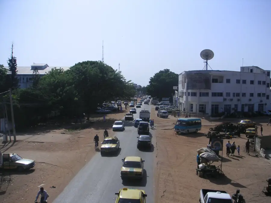
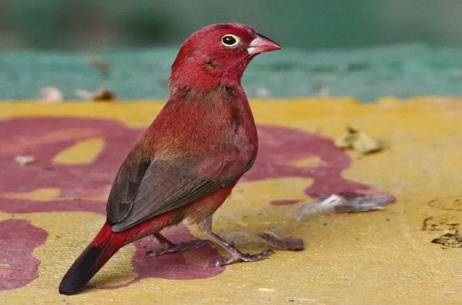
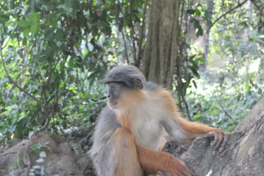
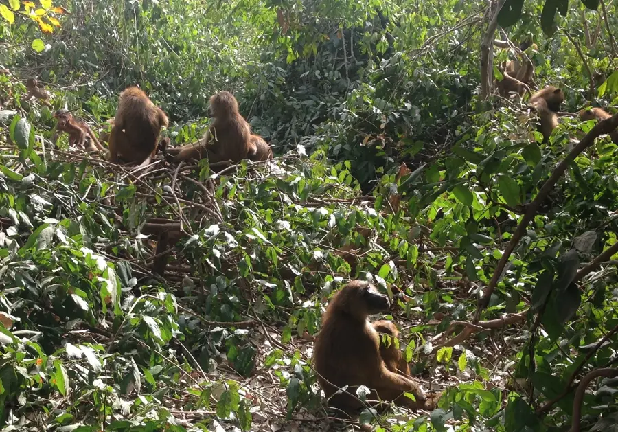
Kabafita Forest is a distinctive woodland area on the eastern edge of Brikama in The Gambia. Protected as one of the country's forest parks, it plays a crucial role in regulating the microclimate and preventing erosion in this densely populated part of the West Coast Region. The vegetation consists mainly of secondary forest and savanna woodland, with species like African mahogany and baobab defining the landscape. Historically, the park was placed under protection in the 1950s to safeguard natural resources from urban sprawl. Today, it serves not only as an ecological refuge for small mammals and numerous reptiles but also as an important site for local people to gather medicinal plants. Its proximity to Brikama makes the forest a popular destination for hikers and nature enthusiasts, yet also poses challenges from illegal dumping and settlement pressure. Research projects in Kabafita often focus on examining the regenerative capacity of tropical dry forests under anthropogenic influence. The forest is also a vital water catchment area, contributing to the stabilization of the groundwater table in the surrounding agricultural landscape.

Best time to visit & climate

The most pleasant time to visit is Jan, Feb, Dec.

JanFebMarAprMayJunJulAugSepOctNovDec
Avg °C242628292929282727272624
Rain mm10524741873062316730

📋 Practical info

🧭
Getting there
To access this forest reserve south of Brikama in the Gambia, visitors typically use the main regional roads leading directly out of the city. Most approaches are well-connected by local transport, though a private vehicle gives more flexibility for reaching specific research or protected zones.
📅
Best season
The optimal time to visit the dense tree stands is during the dry season, generally from November to May, when the weather is pleasantly warm and accessible. The wet season brings heavy downpours that can make the forest paths excessively muddy and difficult to navigate for typical visitors.
⛰️
Terrain & paths
The terrain is characterized by relatively flat, easily walkable paths winding through a dense canopy of varied tree species. It is primarily a protected natural landscape meant for sustainable forestry research, meaning most trails are straightforward but can be overgrown or obscured in parts.
🎒
What to bring
A visit requires comfortable walking shoes, strong insect repellent, and lightweight, breathable clothing suitable for a humid forest environment. Carrying your own drinking water, snacks, and a pair of binoculars is highly recommended for observing the local birdlife and flora effectively.
🅿️
Parking
Parking is generally available at designated entry points or near the administrative offices associated with the forestry research operations. Visitors can typically leave their vehicles safely near the main gates located just south of Brikama before continuing on foot into the reserve.
⚠️
Safety
Visitors should be mindful of typical forest hazards, including insect bites, uneven roots on the paths, and the importance of staying hydrated. It is advisable to stick to the main established trails to avoid getting lost in the dense vegetation and to respect the ongoing conservation efforts.
⏱️
Time needed
A standard visit to explore the main accessible areas of the forest usually takes between two to four hours depending on your level of interest. Those engaging in specific birdwatching or forestry observation might choose to spend a half-day wandering through the shaded, tranquil environment.

Geography

Coordinates
13.27530, -16.62110

Facts

  • The park was officially established as a forest reserve in 1954.
  • The total area covers approximately 48 hectares.
  • Kabafita is located directly along the main road to Casamance.
  • It is a known site for observing praying mantises.
  • The soil consists of typical red, iron-rich laterite.
  • Parts of the forest have been used for forestry demonstration purposes.

Explore nearby

Notable places around

Route planner — Car & Motorhome

Where do you start? We build the route here, with stops and country notes along the way.

Vehicle
Only stops with (optional):

© OpenStreetMap contributors · OpenRouteService

Sights in the town Kabafita Forest (2)

Entrance makasutu📍 landmark

Entrance makasutu serves as the welcoming gateway into the renowned cultural and ecological forest.

Furnya Forest Park🌿 nature

Furnya Forest Park is a protected woodland nature reserve providing sanctuary for local flora and fauna.

Sights nearby

Frequently asked questions

Where is Kabafita Forest located?
Right on the eastern outskirts of Brikama.
Is the forest used for forestry?
Yes, it is a forest reserve used for both protection and sustainable timber use.
Can you photograph birds there?
Excellent. Many colorful estrildid finches and turacos live in the canopy.
How is the accessibility?
Due to its proximity to Brikama, the forest is very easy to reach by taxi or on foot.
Are there places to get refreshments?
Not in the forest, but on the outskirts of Brikama, you will find numerous small kiosks.
Kabafita Forest: where is it located?
Kabafita Forest is located in Gambia.
Kabafita Forest: what is there to see?
Highlights include Entrance makasutu, Furnya Forest Park.
Kabafita Forest: when is the best time to visit?
The most pleasant time to visit is Jan, Feb, Dec.
Kabafita Forest: why is it worth visiting?
Kabafita Forest is a distinctive woodland area on the eastern edge of Brikama in The Gambia.
View on map → The Top 50 Attractions → OpenStreetMap →
Africa
Explore with Plizio Discover more places in Africa
More places in Gambia →

Nearby cities

History & landmarks

More places