Plizio Visual Lab
Papenoo
ℹ️Practical info — Papenoo
▾
🌤 Weather — 5 days
📍 Nearby
Sights nearby
💡 Tips
- Booking a guided 4x4 tour is the best way to safely explore the rugged interior of the Papenoo Valley.
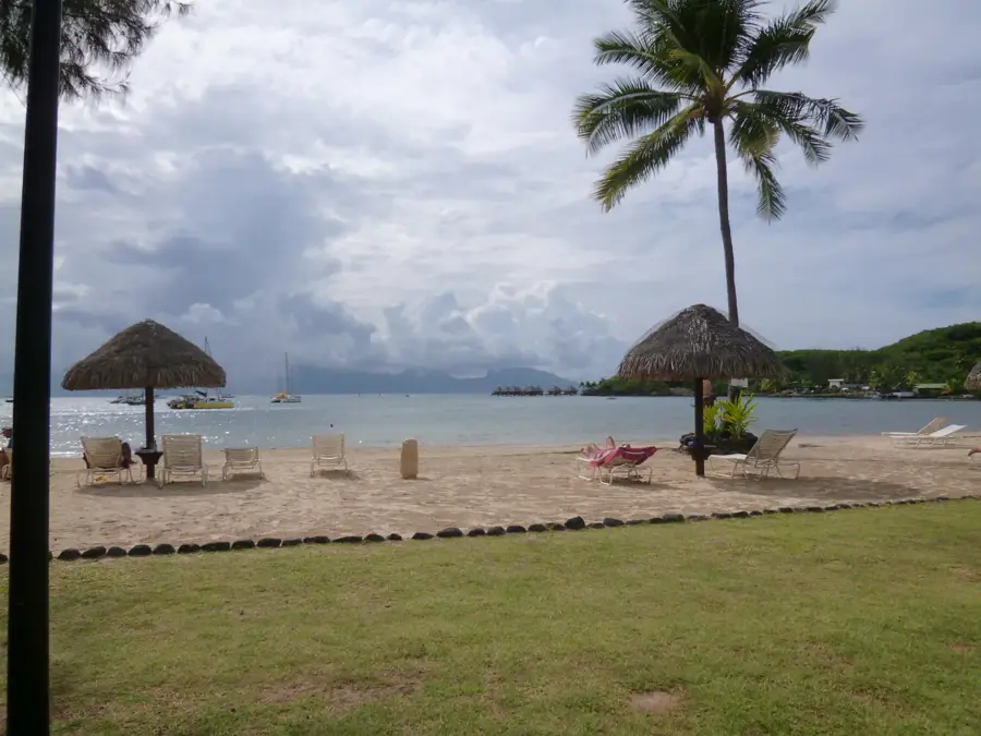
- The black sand beaches here have strong currents; they are fantastic for surfing but swim with caution.
- Bring waterproof bags for your electronics, as sudden rain showers are common in the valley.
- Pack plenty of drinking water and snacks if heading inland, as there are no shops inside the valley.
🍽 Food
A crusty baguette sandwich filled with local ingredients, available at small snack bars along the coastal road.
Buy whole coconuts from locals on the side of the road before heading into the valley.
Mahi-mahi or tuna served with rice and beans at unpretentious local surf shacks.
🛍 Shopping · 🧘 Quiet spots
Check out the small local surf shops near the beach for wax, leashes, or locally designed rash guards.
Stop at small stands for seasonal fruits and fresh vegetables grown in the area.
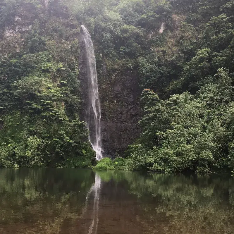
Take a 4x4 tour to find secluded waterfalls hidden deep within the verdant valley.
Located high up in the valley, it features sweeping, peaceful panoramas of the mountains.
Water temperature…
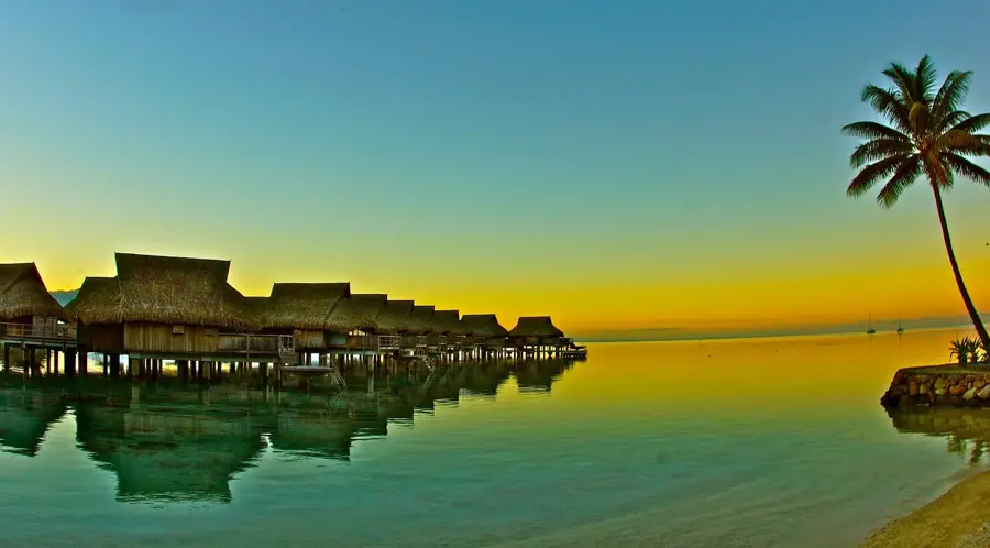
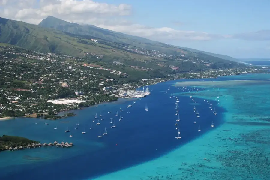
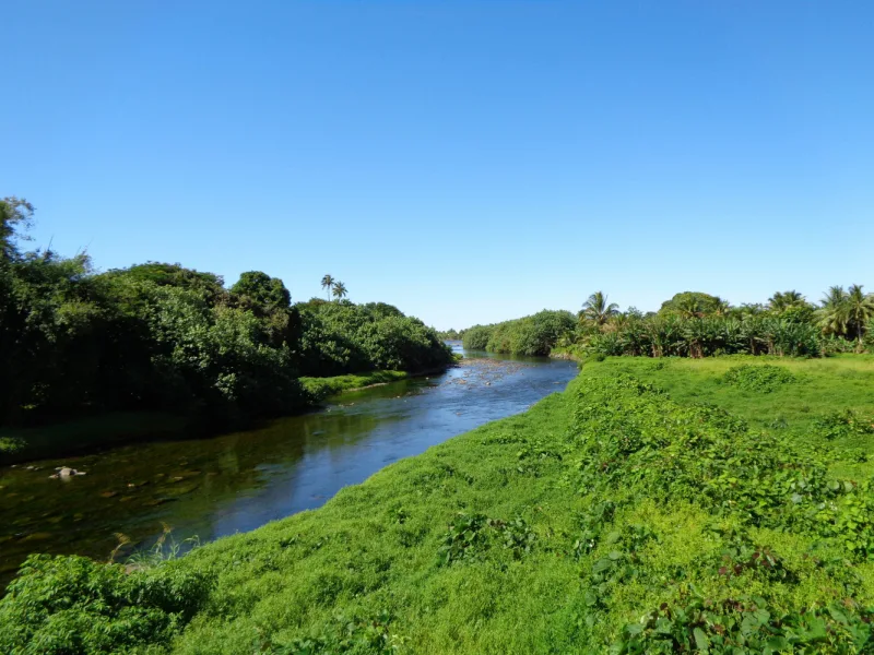
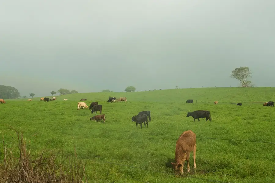
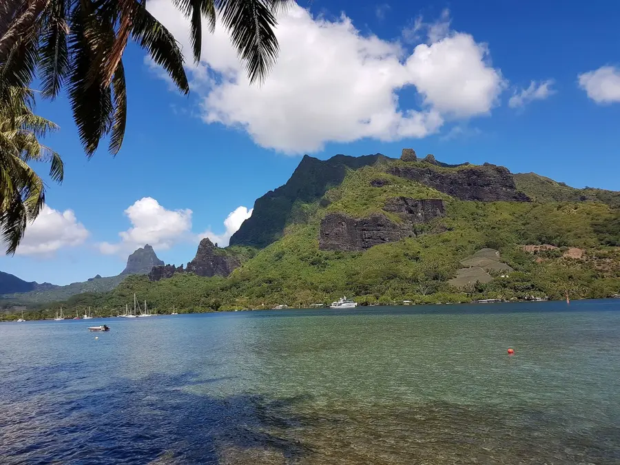
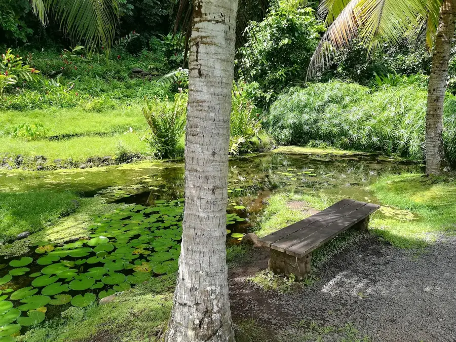
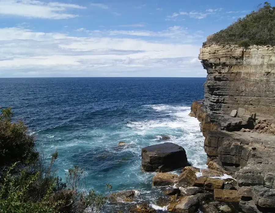
Papenoo is a coastal village in northern Tahiti that serves as the strategic entrance to the island's vast interior through the Papenoo Valley. This valley, the largest on the island, is a prehistoric volcanic crater that now hosts the longest river in Tahiti. The village itself is situated at the river's mouth, where the meeting of freshwater and ocean currents creates world-class surfing conditions on its famous black sand beaches. Venturing inland from Papenoo leads to a rugged landscape of towering peaks and dense rainforests, where ancient archaeological sites, including stone Marae and residential terraces, are still being discovered. The valley is also an industrial hub for renewable energy, housing several major hydroelectric plants that power a significant portion of the island. For hikers and 4x4 enthusiasts, Papenoo is the ultimate base for exploring Tahiti’s untamed heart, offering access to hidden waterfalls and rare endemic flora far from the urban bustle of nearby Papeete.
- Location: French Polynesia
- Nearby: Tiarei (6 km)
Best time to visit & climate
The most pleasant time to visit is Jul–Sep.
| Jan | Feb | Mar | Apr | May | Jun | Jul | Aug | Sep | Oct | Nov | Dec | |
|---|---|---|---|---|---|---|---|---|---|---|---|---|
| Avg °C | 27 | 27 | 27 | 27 | 27 | 26 | 25 | 25 | 25 | 26 | 26 | 27 |
| Rain mm | 190 | 175 | 134 | 116 | 90 | 69 | 52 | 47 | 40 | 84 | 113 | 221 |
Geography
Facts
- Population: 1,478 (2017 census)
- Mount Orohena elevation: 2,241 m
- Papenoo River length: 20 km
- Church built: 1855
- Distance from Papeete: 40 km
- Number of rafting companies: 2
Explore nearby
Notable places around
Route planner — Car & Motorhome
Where do you start? We build the route here, with stops and country notes along the way.
© OpenStreetMap contributors · OpenRouteService
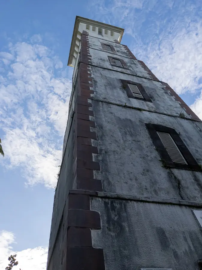
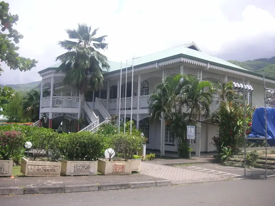
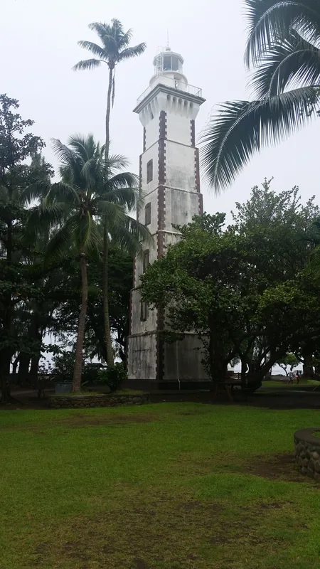
Sights in the town Papenoo (1)
Frequently asked questions
What can you do in Papenoo?
How many days to plan?
Best season?
How to get there?
Is it a beach resort?
Papenoo: where is it located?
Papenoo: when is the best time to visit?
Papenoo: why is it worth visiting?

Nearby cities
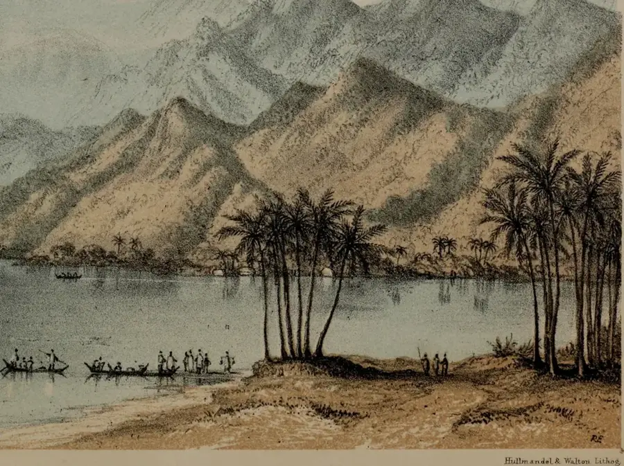
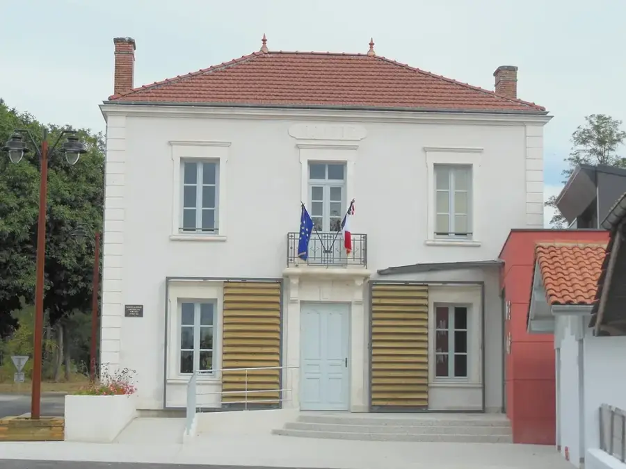


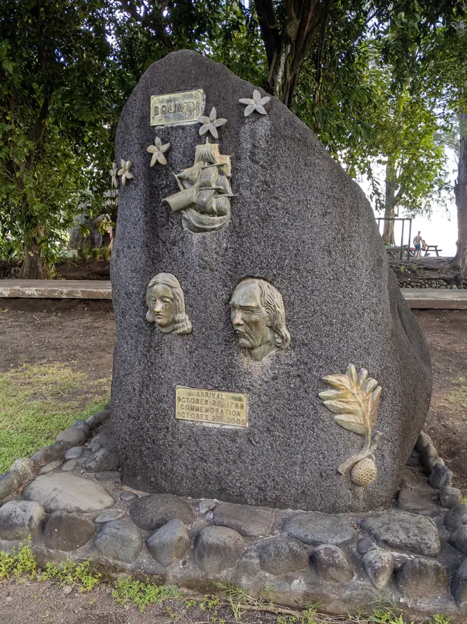
History & landmarks
More places