Plizio Visual Lab
Mount Orohena
Weather…
Water temperature…
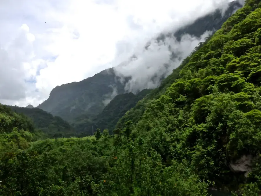
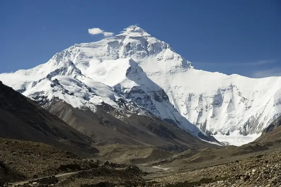
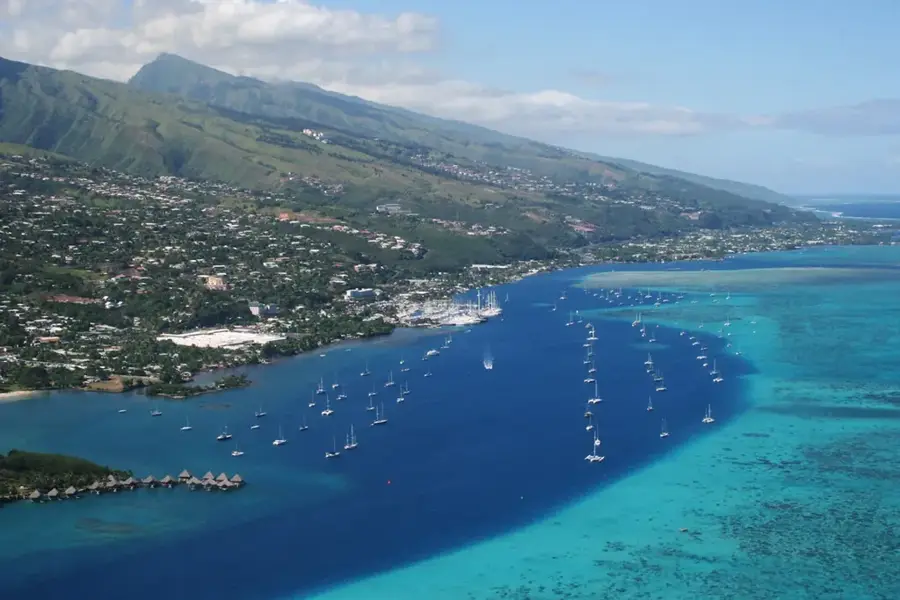
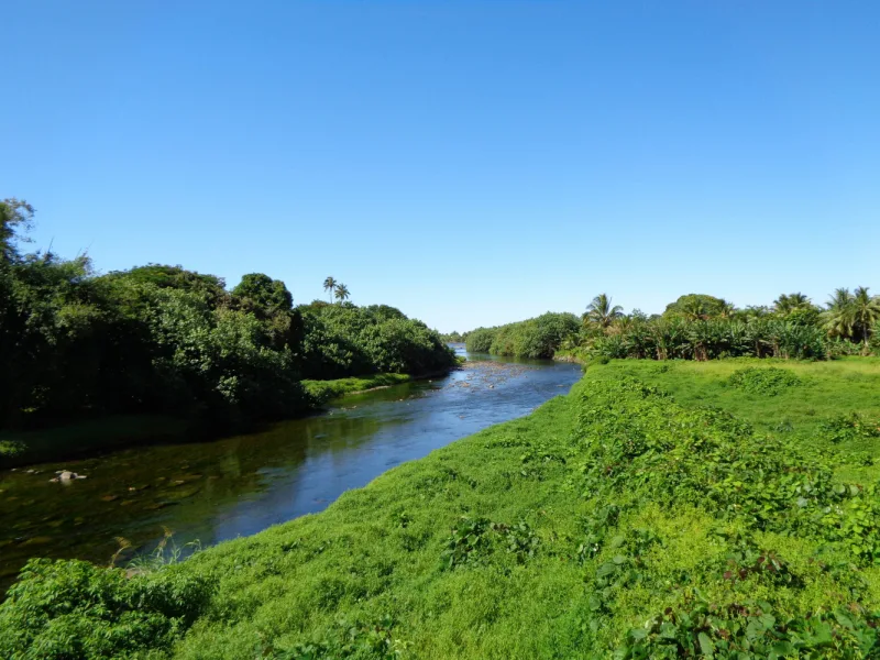
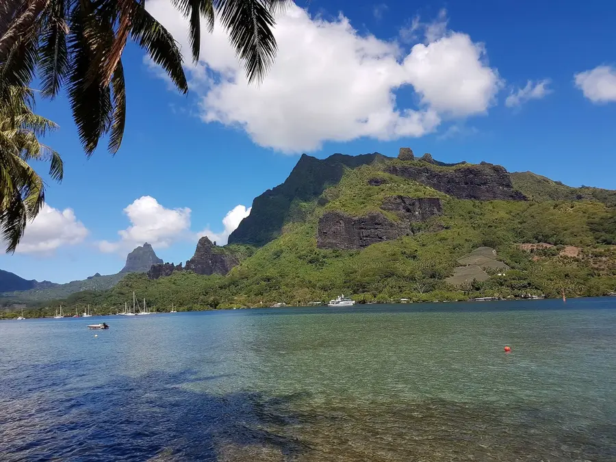
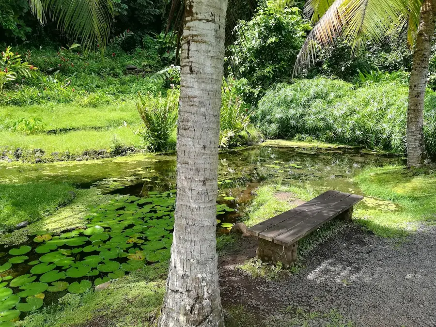
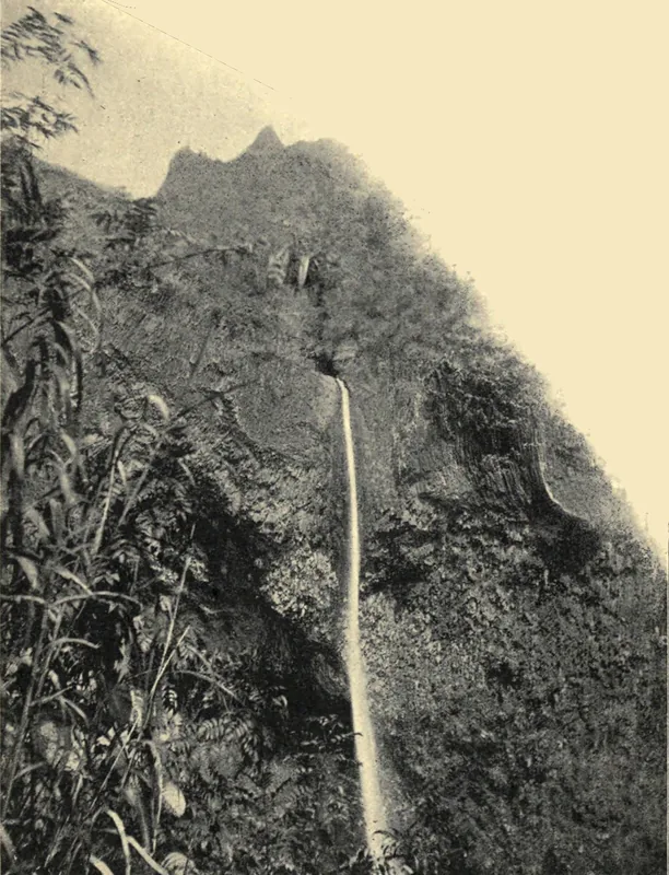
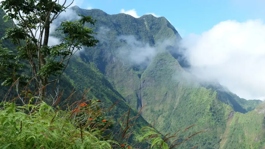
Mount Orohena stands as the highest peak in French Polynesia, reaching an elevation of 2,241 meters above sea level. This majestic summit is the remnant of the massive shield volcano that formed the island of Tahiti Nui. Often shrouded in mist and clouds, the mountain dominates the island's interior with its steep ridges and deep valleys. Climbing Orohena is notoriously difficult and is reserved for experienced mountaineers accompanied by local guides, as there are no maintained trails and the route involves traversing narrow ledges and dense tropical rainforest. The mountain's slopes are a vital sanctuary for endemic flora and fauna, including rare bird species that thrive in the cool, high-altitude environment. While most visitors admire its jagged profile from the coastal plains, Mount Orohena remains a powerful symbol of the volcanic origins of the Society Islands and the untamed natural beauty of the South Pacific interior.
- Location: French Polynesia
- Top sights: Pitohiti · Aora'i
- Nearby: Arue (10 km)
Best time to visit & climate
The most pleasant time to visit is Jul–Sep.
| Jan | Feb | Mar | Apr | May | Jun | Jul | Aug | Sep | Oct | Nov | Dec | |
|---|---|---|---|---|---|---|---|---|---|---|---|---|
| Avg °C | 27 | 27 | 27 | 27 | 27 | 26 | 25 | 25 | 25 | 26 | 26 | 27 |
| Rain mm | 190 | 175 | 134 | 116 | 90 | 69 | 52 | 47 | 40 | 84 | 113 | 221 |
📋 Practical info
Geography
Facts
- Elevation: 2,241 m (7,352 ft)
- Location: Tahiti
- Volcano type: Shield volcano
- Last eruption: >1 million years ago
- First ascent: 1840
- Annual rainfall: >8,000 mm (315 in)
Explore nearby
Notable places around
Route planner — Car & Motorhome
Where do you start? We build the route here, with stops and country notes along the way.
© OpenStreetMap contributors · OpenRouteService
Sights in the town Mount Orohena (2)
Sights nearby
Frequently asked questions
Is Mount Orohena accessible to climbers?
How long does the climb take?
Do I need a permit?
Is there a hut on the summit?
Is the trail marked?
Mount Orohena: where is it located?
Mount Orohena: what is there to see?
Mount Orohena: when is the best time to visit?
Mount Orohena: why is it worth visiting?

Nearby cities


History & landmarks
Nature
More places