Plizio Visual Lab
Corsica GR20
Weather…
Water temperature…
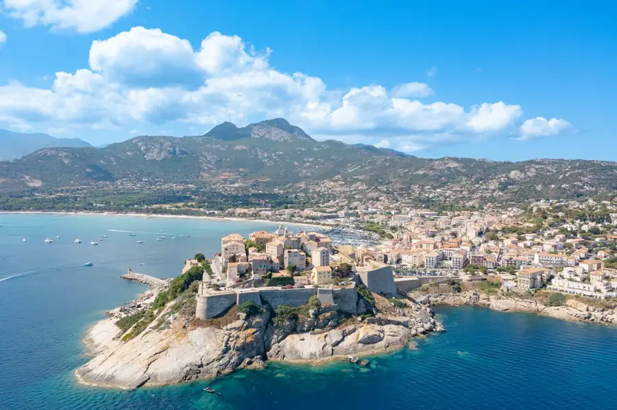
The GR20 in Corsica is widely regarded as one of the most challenging and spectacular long-distance hiking trails in Europe. Spanning approximately 180 kilometers, it traverses the island diagonally from Calenzana in the northwest to Conca in the southeast. The route follows the mountainous backbone of the island, passing through high-alpine landscapes, over rugged granite peaks, and through deep glacial valleys, with a total elevation gain of around 12,000 meters. The trail is typically divided into 16 stages, with the northern section being technically more demanding and rocky, while the southern part has slightly gentler terrain. Hikers rely on a network of mountain refuges, which often require booking months in advance during the peak summer season. Beyond the physical endurance required, the GR20 provides unparalleled views of the Mediterranean Sea and Corsica's highest summits, including Monte Cinto. Completing the trail demands excellent fitness, sure-footedness, and mountain experience due to unpredictable weather patterns.
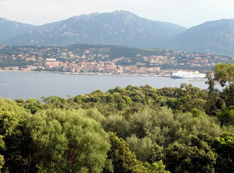
- Location: Corse, France
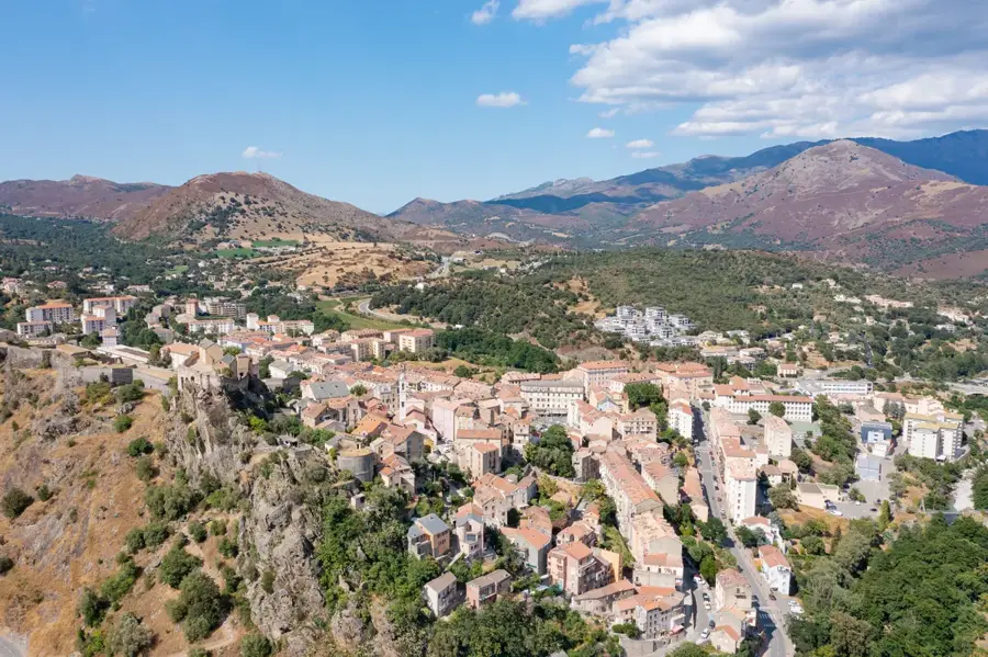
- Top sights: Punta Tirulellu · Arte Gallaria · Ruine de la bergerie de Toma
- Nearby: Casaglione (19 km)
Best time to visit & climate
The most pleasant time to visit is Jun, Jul, Sep.
| Jan | Feb | Mar | Apr | May | Jun | Jul | Aug | Sep | Oct | Nov | Dec | |
|---|---|---|---|---|---|---|---|---|---|---|---|---|
| Avg °C | 9 | 9 | 11 | 14 | 17 | 22 | 25 | 25 | 21 | 18 | 13 | 10 |
| Rain mm | 100 | 91 | 83 | 63 | 60 | 24 | 10 | 16 | 57 | 104 | 128 | 99 |
📋 Practical info
Geography
Facts
- The total length of the GR20 is approximately 180 kilometers.
- Hikers must overcome a total elevation gain of about 12,000 meters.
- The trail is traditionally completed in 16 daily stages.
- Vizzavona marks the midpoint and offers access to the island's railway.
- The highest point on the trail reaches an altitude of 2,225 meters.
- The hiking route was officially established in 1970.
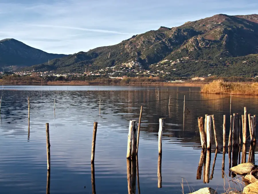
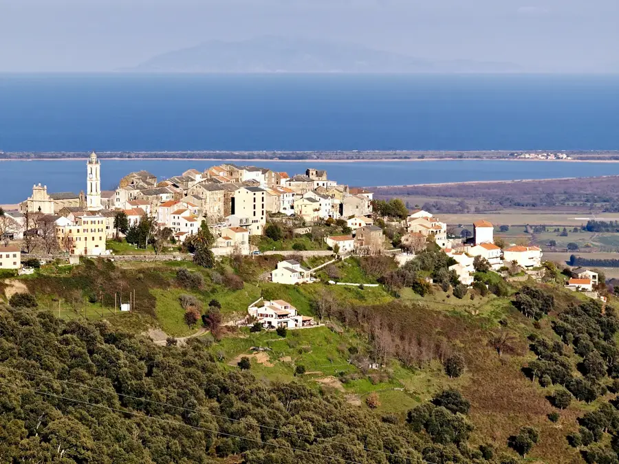
Explore nearby
Notable places around
Route planner — Car & Motorhome
Where do you start? We build the route here, with stops and country notes along the way.
© OpenStreetMap contributors · OpenRouteService
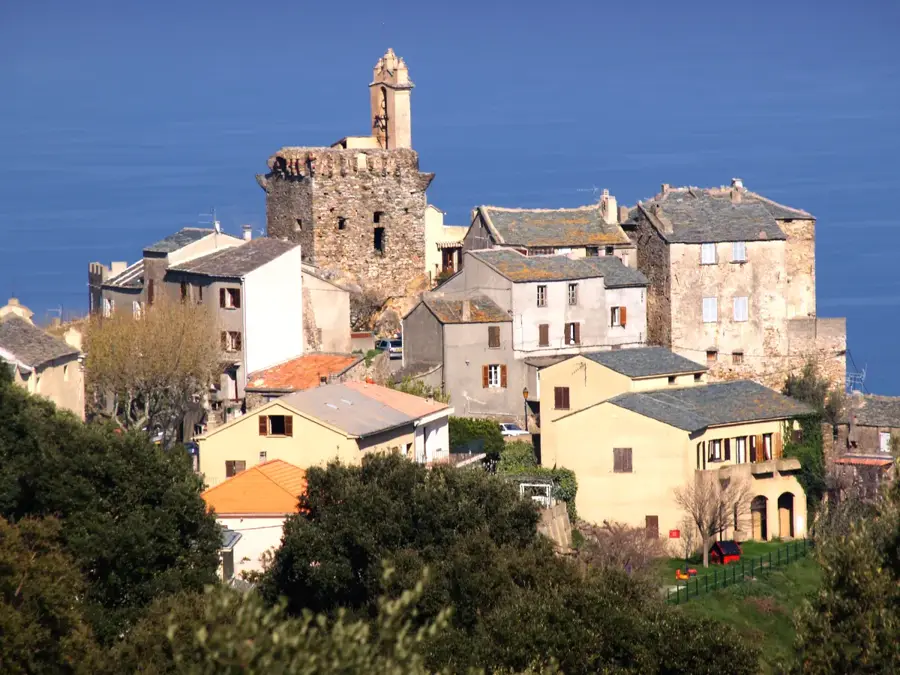
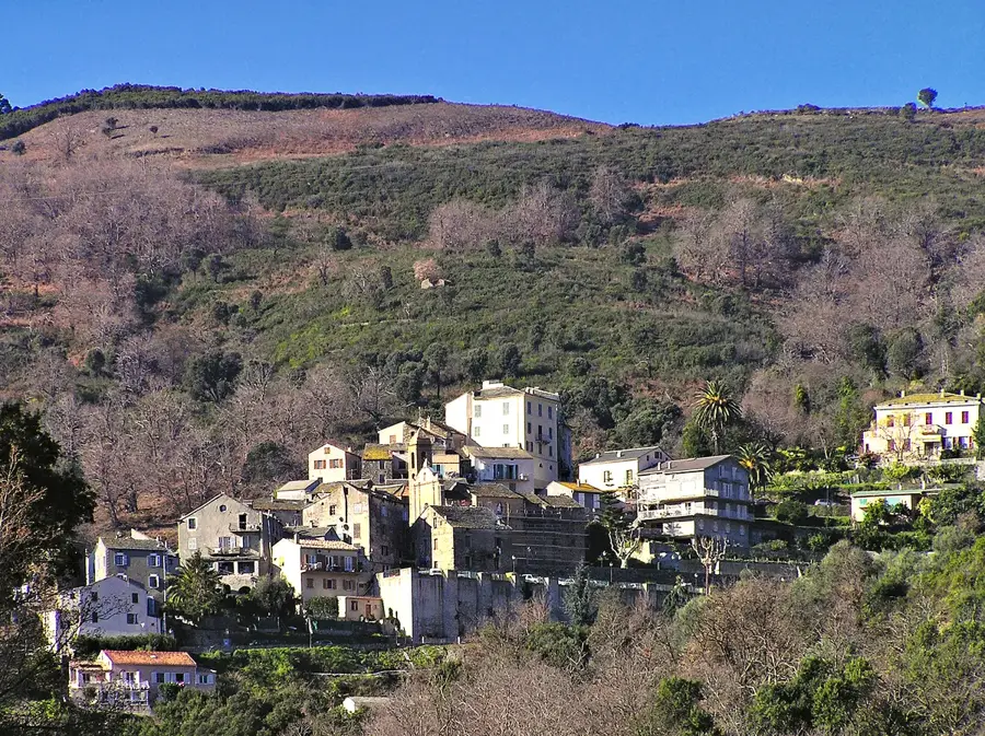
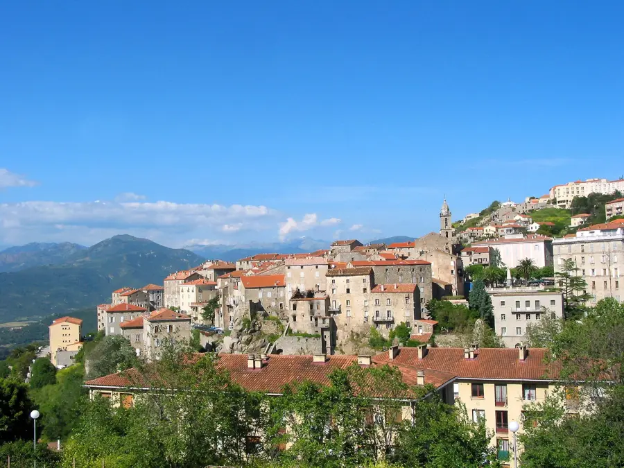
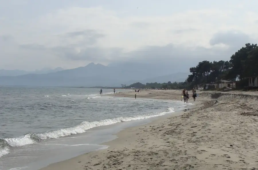
Sights in the town Corsica GR20 (4)
Sights nearby
Frequently asked questions
How long does it take to complete the entire GR20 trek?
What level of fitness is required for the GR20?
Where can you stay overnight during the trek?
When is the best time to hike the GR20?
Are there drinking water sources on the trail?
Corsica GR20: where is it located?
Corsica GR20: what is there to see?
Corsica GR20: when is the best time to visit?
Corsica GR20: why is it worth visiting?

Nearby cities