Plizio Visual Lab
Varces-Allières-et-Risset
ℹ️Practical info — Varces-Allières-et-Risset
▾
🌤 Weather — 5 days
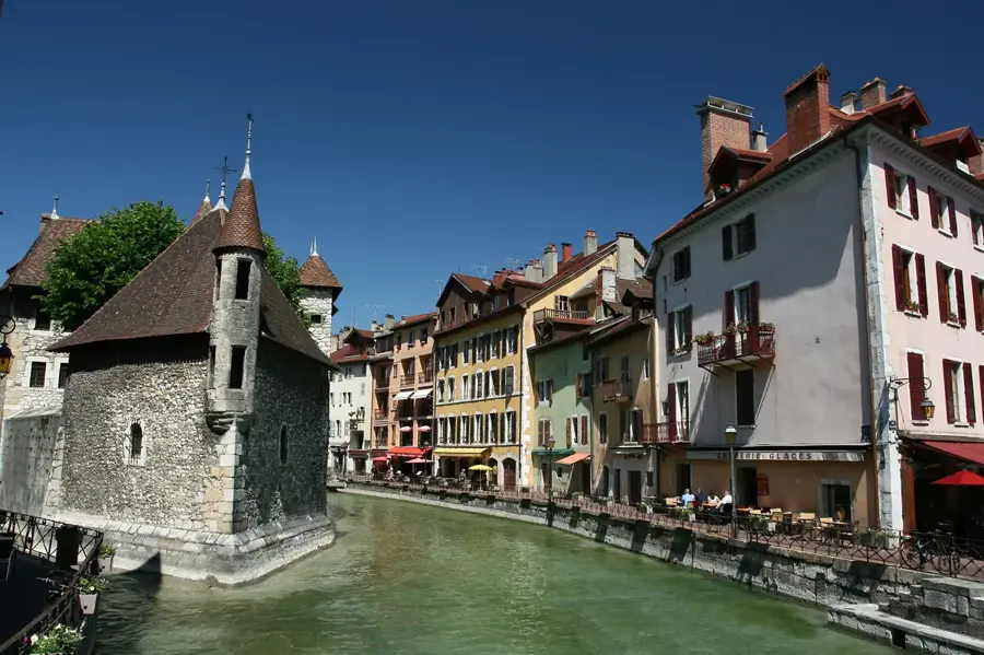
📍 Nearby
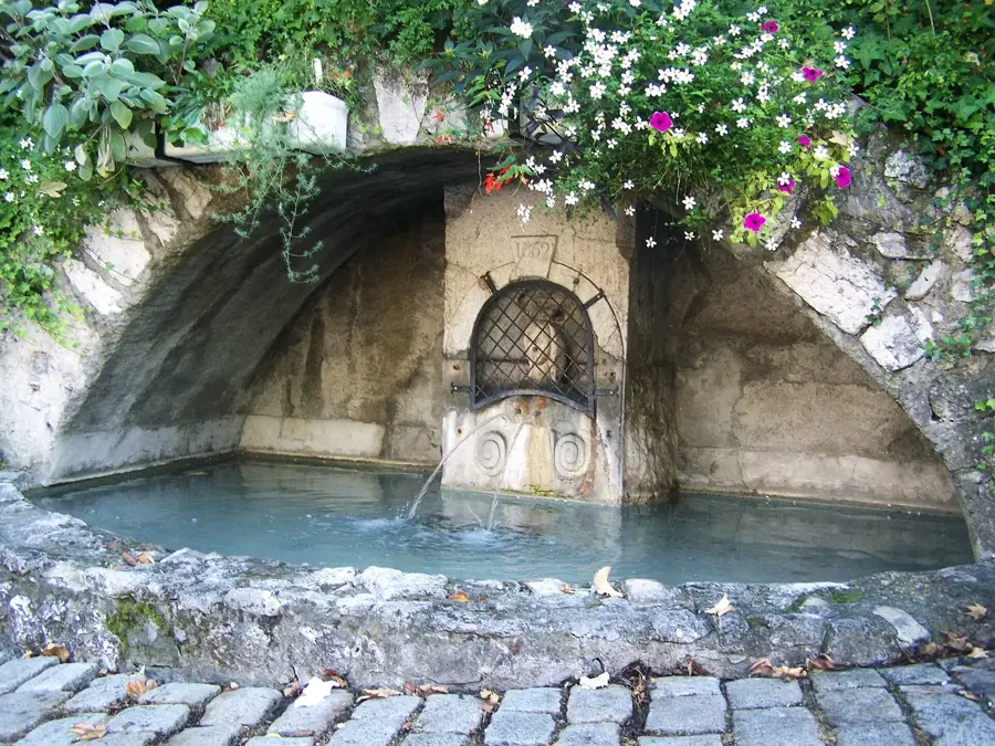
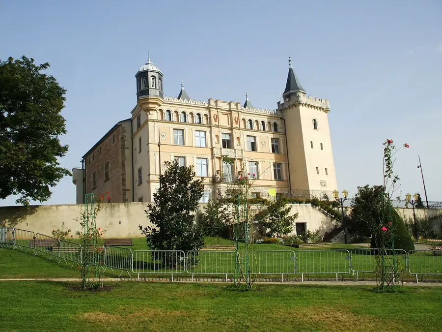
Sights nearby
💡 Tips
- Bring hiking boots for the trails in the nearby Vercors Regional Nature Park.
- Due to the military base, some areas might be restricted, so follow local signs.
- Public transport from Grenoble is very convenient.
- Spring and early autumn offer the best views of the Alps.
🍽 Food
Try this famous potato gratin in traditional local brasseries.
You can find the region's famous walnuts at the local markets.
Enjoy this herbal liqueur as a digestif at one of the local bars.
🛍 Shopping · 🧘 Quiet spots
Buy fresh mountain cheeses and local produce at the central market.
The sports shops in the area have everything you need for mountain adventures.
A quiet park for a relaxing afternoon stroll.
Walk along the lower trails towards the mountains for some peace and nature.
Water temperature…
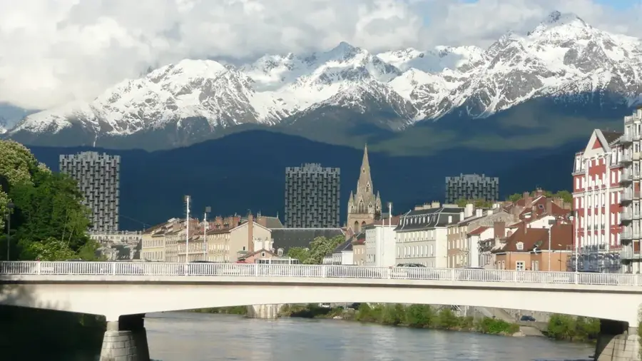
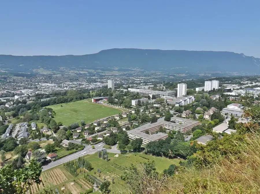
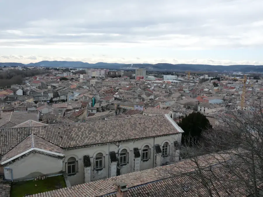
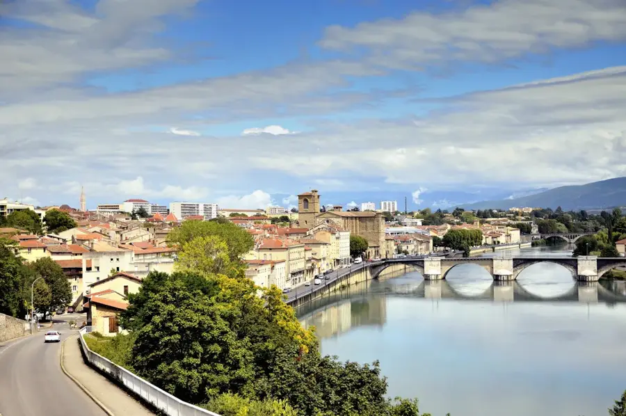
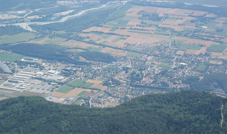
Varces-Allières-et-Risset is a welcoming Alpine town in the Isere department, located about 15 kilometers south of Grenoble. It is strategically positioned at the confluence of the Drac and Gresse rivers, framed by the towering cliffs of the Vercors and the Taillefer massifs. The town's long name reflects its formation in 1955 from the merger of three distinct communities: Varces, Allières, and Risset. A defining characteristic of the town is its strong military identity, as it hosts the 7th Battalion of Alpine Hunters (Chasseurs Alpins), a prestigious mountain infantry unit of the French Army. This military heritage is deeply woven into the local culture and economy. Beyond the barracks, Varces has a high quality of life with extensive green spaces and direct access to various Alpine sports. Historical landmarks include the ruins of a medieval castle and the Romanesque-style Saint-Pierre church. The local landscape is a major draw for outdoor enthusiasts, offering everything from flat riverside walks to challenging mountain treks. With its proximity to the metropolitan hub of Grenoble, Varces serves as a handy residential area for those who appreciate mountain tranquility combined with modern amenities and an animated community spirit.
- Location: Auvergne-Rhône-Alpes, France
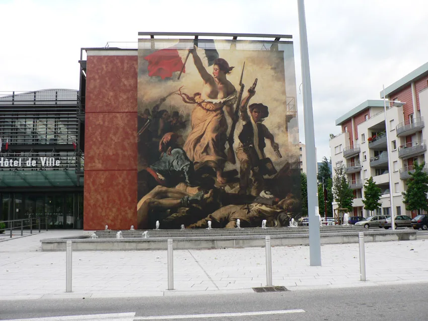
- Top sights: Saint-Pierre Church · Allières Castle · Risset Chapel
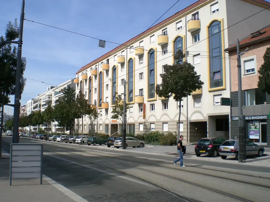
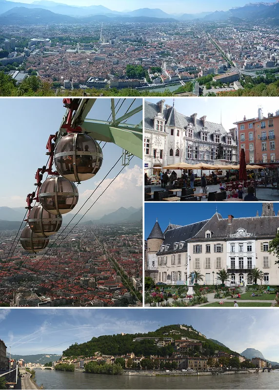
- Nearby: Le Pont-de-Claix (4 km)
- Population: ~8.542
Best time to visit & climate
The most pleasant time to visit is Jun–Aug.
| Jan | Feb | Mar | Apr | May | Jun | Jul | Aug | Sep | Oct | Nov | Dec | |
|---|---|---|---|---|---|---|---|---|---|---|---|---|
| Avg °C | -1 | 0 | 3 | 7 | 11 | 15 | 17 | 17 | 13 | 9 | 4 | 0 |
| Rain mm | 70 | 57 | 68 | 65 | 88 | 65 | 56 | 58 | 67 | 85 | 100 | 77 |
Geography
Facts
- The merger was legalized by a decree in December 1954
- Home to the 7th Battalion of Mountain Infantry
- Maximum altitude is 1,960 meters at Le Pieu
- Commune covers a total of 2,088 hectares
- The Drac river forms the eastern boundary of the town
- Known for its active association life with over 60 clubs
Explore nearby
Notable places around
Route planner — Car & Motorhome
Where do you start? We build the route here, with stops and country notes along the way.
© OpenStreetMap contributors · OpenRouteService
Sights in the town Varces-Allières-et-Risset (9)
Frequently asked questions
Where exactly is this municipality located?
What can you do in Parc Géo-Charles?
Are there hiking trails nearby?
Is the place accessible by public transport?
What is the local climate?
Varces-Allières-et-Risset: where is it located?
Varces-Allières-et-Risset: what is there to see?
Varces-Allières-et-Risset: when is the best time to visit?
Varces-Allières-et-Risset: why is it worth visiting?

Nearby cities