Plizio Visual Lab
Massif des Bauges
Weather…
Water temperature…
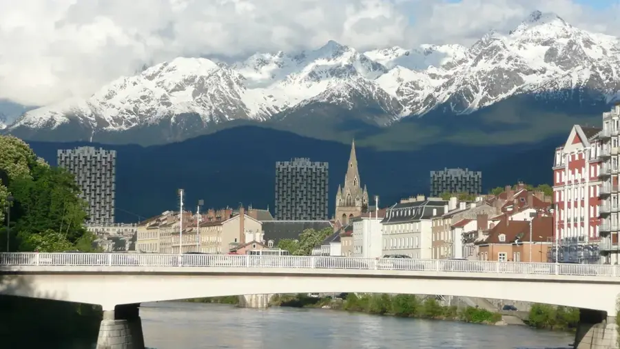
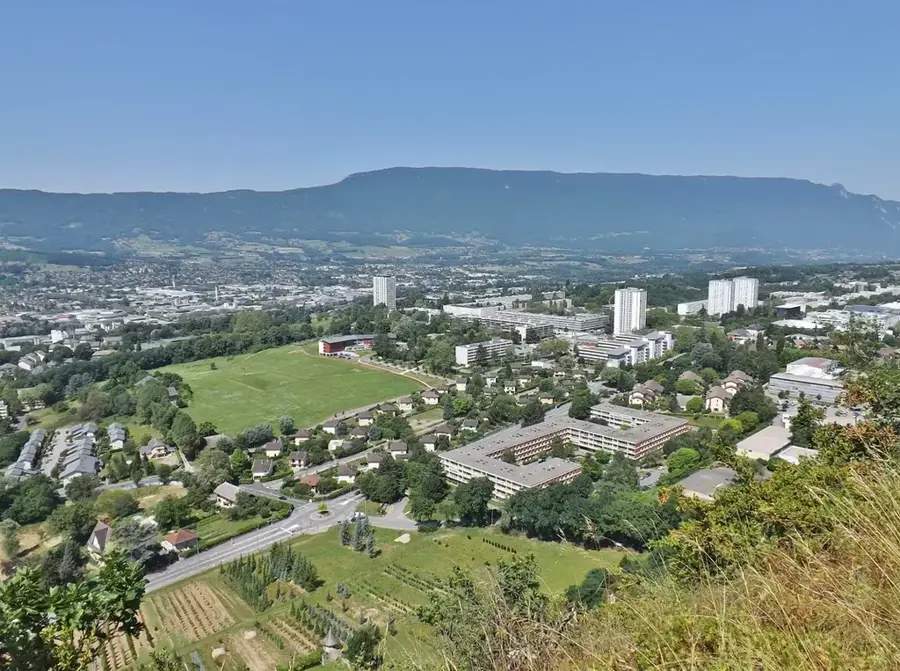
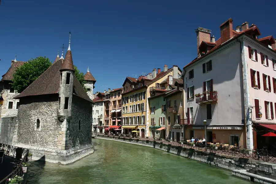
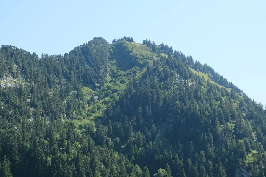
The Massif des Bauges is a limestone mountain range in the northern French Alps, spanning the departments of Savoie and Haute-Savoie. Designated as a Regional Natural Park in 1995, it earned the UNESCO Global Geopark label in 2011 for its outstanding geological heritage. The massif is defined by its characteristic folded rock formations and deep valleys, creating a diverse landscape of alpine meadows, forests, and cliffs. The area is home to rich wildlife, including chamois, mouflons, and black grouse, and maintains a strong tradition of mountain farming, notably the production of Tome des Bauges cheese. In addition to conservation, the park focuses on promoting sustainable tourism and preserving local cultural traditions and craftsmanship.
- Location: Auvergne-Rhône-Alpes, France
- Top sights: Dent de Rossanaz · Roc de Poyez · Mont Chardonnet
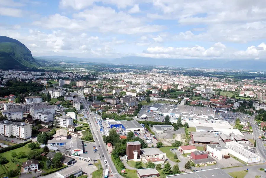
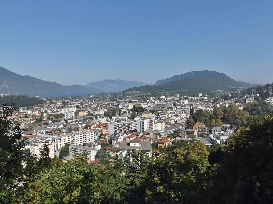
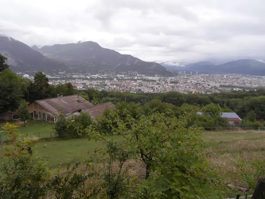
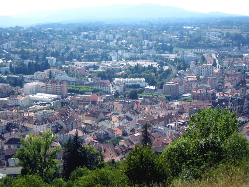
- Nearby: Saint-Alban-Leysse (14 km)
Best time to visit & climate
The most pleasant time to visit is Jun–Aug.
| Jan | Feb | Mar | Apr | May | Jun | Jul | Aug | Sep | Oct | Nov | Dec | |
|---|---|---|---|---|---|---|---|---|---|---|---|---|
| Avg °C | -3 | -3 | 1 | 6 | 9 | 14 | 16 | 15 | 12 | 8 | 2 | -2 |
| Rain mm | 94 | 69 | 84 | 68 | 105 | 87 | 80 | 82 | 71 | 83 | 93 | 98 |
📋 Practical info
Geography
Facts
- The Massif des Bauges Regional Natural Park was established in 1995.
- Awarded the UNESCO Global Geopark status in 2011.
- The highest peak in the massif is Arcalod, at 2,217 meters.
- The park covers an expansive area of over 90,000 hectares.
- Origin of the Tome des Bauges cheese, which holds AOC protection.
- Home to a significant population of around 1,500 chamois.
Explore nearby
Notable places around
Route planner — Car & Motorhome
Where do you start? We build the route here, with stops and country notes along the way.
© OpenStreetMap contributors · OpenRouteService
Sights in the town Massif des Bauges (5)
Sights nearby
Frequently asked questions
What is special about the Bauges reserve?
Are dogs allowed in the reserve?
Which hike is recommended?
Where can you eat locally?
Are there parking lots at the trailheads?
Massif des Bauges: where is it located?
Massif des Bauges: what is there to see?
Massif des Bauges: when is the best time to visit?
Massif des Bauges: why is it worth visiting?

Nearby cities