Plizio Visual Lab
Port of Pärnu
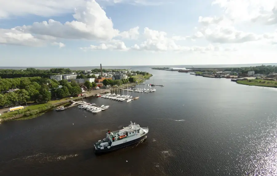
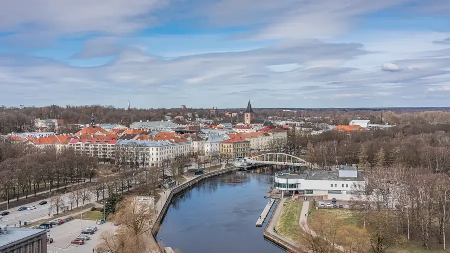
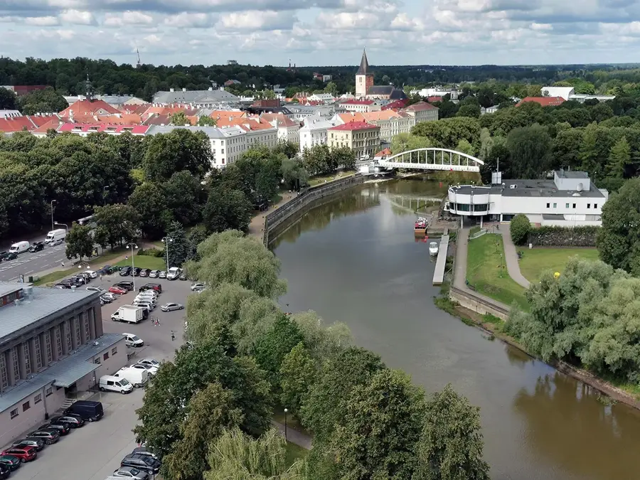
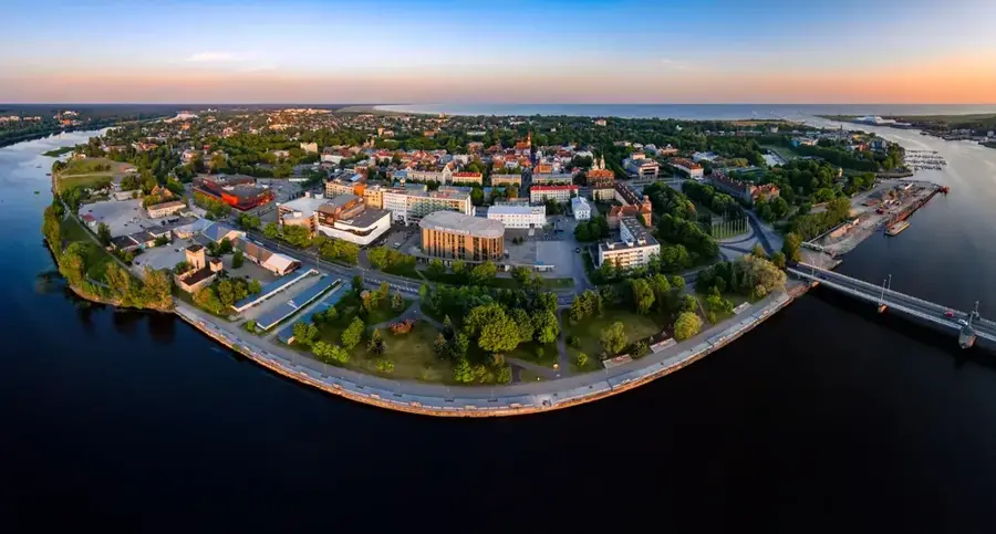
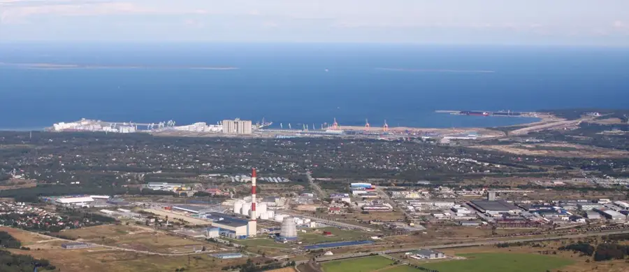
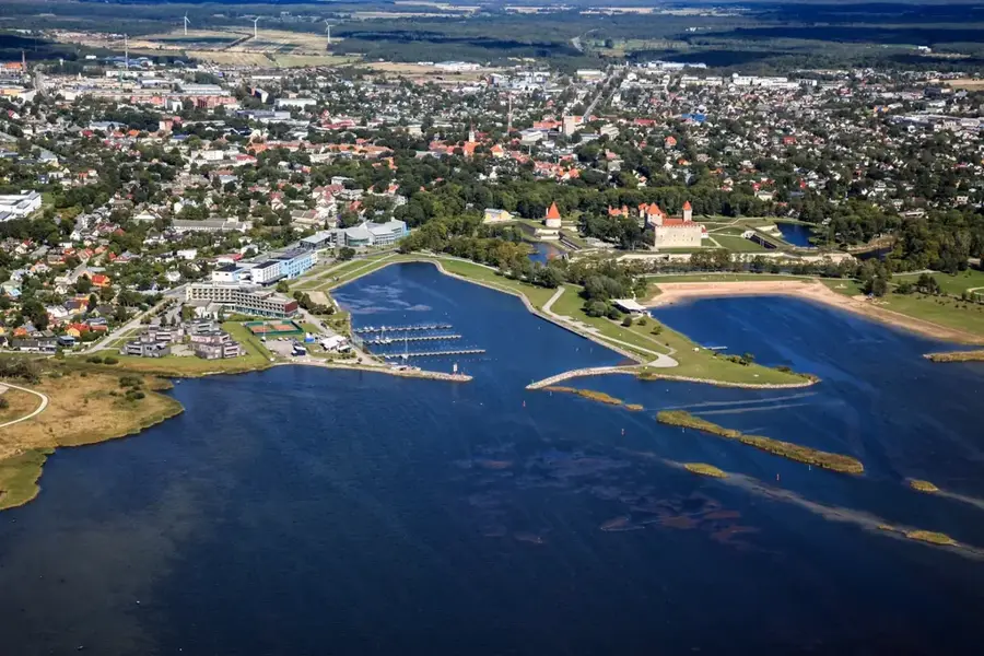
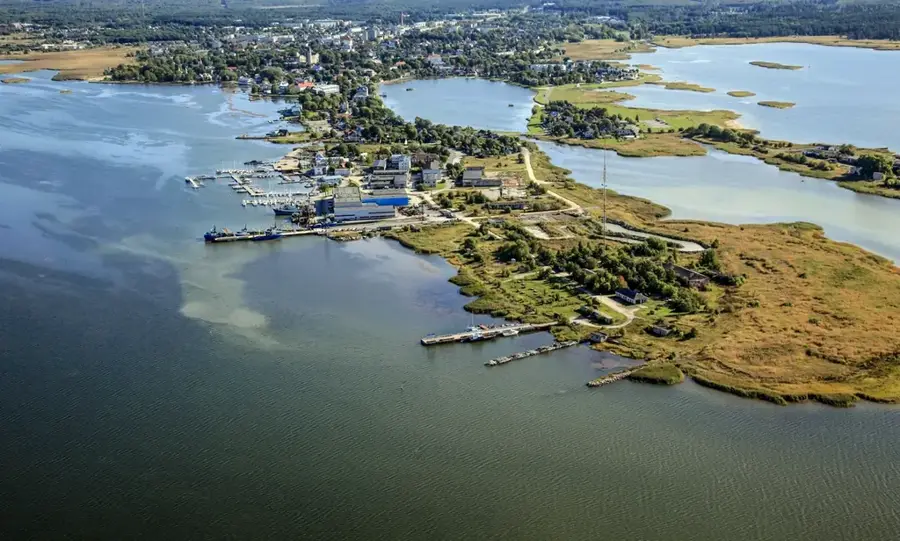
The Port of Pärnu is located at the mouth of the Pärnu River in southwestern Estonia, serving as the most significant regional maritime hub in the area. Its history traces back to the 13th century when Pärnu was a notable member of the Hanseatic League, acting as a trading post for flaxseed and timber. Currently, the port specializes in exporting local raw materials, with wood products, peat, and gravel being the primary commodities handled. A distinctive landmark consists of the two-kilometer-long stone jetties (moles) built in 1863 to protect the river mouth from siltation. The port is crucial to the regional economy, processing approximately two million tons of cargo annually. Despite its industrial function, the harbour is situated close to the famous Pärnu resort area, known for its extensive white sandy beaches. Ongoing modernization efforts include deepening the fairway and upgrading loading equipment to provide more efficient logistics for local industries.
- Location: Estonia, Estonia
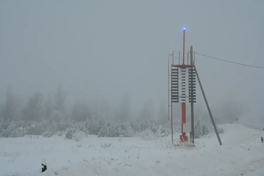
- Top sights: Seedri sihi ülemine tulepaak · Seedri sihi alumine tulepaak · Viiking Saaga veekeskus
- Nearby: Jõulumäe (17 km)
Best time to visit & climate
The most pleasant time to visit is Jun–Aug.
| Jan | Feb | Mar | Apr | May | Jun | Jul | Aug | Sep | Oct | Nov | Dec | |
|---|---|---|---|---|---|---|---|---|---|---|---|---|
| Avg °C | -4 | -5 | -2 | 4 | 11 | 15 | 19 | 18 | 13 | 7 | 2 | -1 |
| Rain mm | 53 | 45 | 42 | 42 | 43 | 69 | 66 | 78 | 56 | 68 | 69 | 60 |
📋 Practical info
Geography
Facts
- The port handles approximately 2 million tons of cargo per year.
- The stone moles at the river mouth are each 2 kilometers long.
- Wood products account for about 70% of total export volume.
- The maximum depth of the navigation channel is 6.7 meters.
- The first historical mention of the port dates back to 1251.
- The harbour features 8 active berths for cargo vessels.
Explore nearby
Notable places around
Route planner — Car & Motorhome
Where do you start? We build the route here, with stops and country notes along the way.
© OpenStreetMap contributors · OpenRouteService
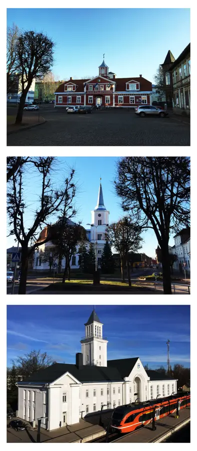
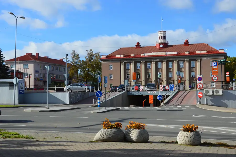
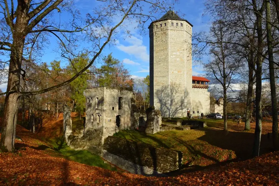
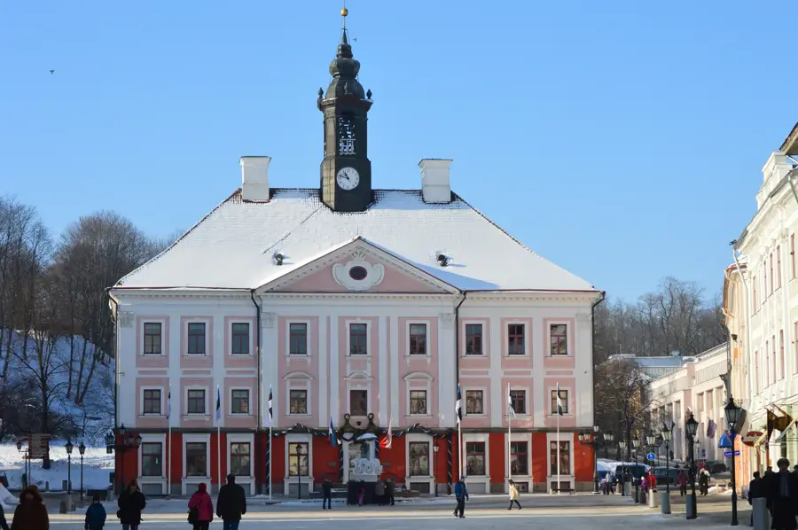
Sights in the town Port of Pärnu (10)
Rannapark🌳 park
The park stretches along Pärnu beach with walking paths and benches.
Vallikäär🌳 park
The park sits on the former fortress moat, providing green space.
Munamägi
The artificial hill is a prehistoric archaeological site.
Tallinn Gate
The city gate was part of Pärnu's historic fortifications.
Munamäe park🌳 park
The park surrounds the artificial Munamägi hill in Pärnu.
Minizoo
The small zoo houses domestic and exotic animals.
Sights nearby
Frequently asked questions
What is Pärnu Port used for?
Can large ships dock here?
Is there passenger traffic to Kihnu?
Is walking on the piers allowed?
Are there fish restaurants there?
Port of Pärnu: where is it located?
Port of Pärnu: what is there to see?
Port of Pärnu: when is the best time to visit?
Port of Pärnu: why is it worth visiting?

Nearby cities