Plizio Visual Lab
Historical Hamasien Region
Weather…
Water temperature…
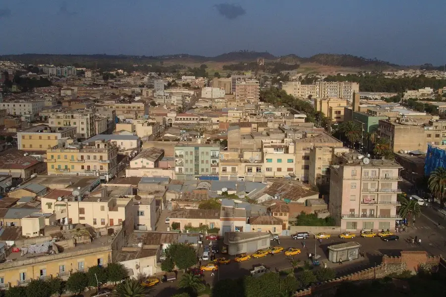
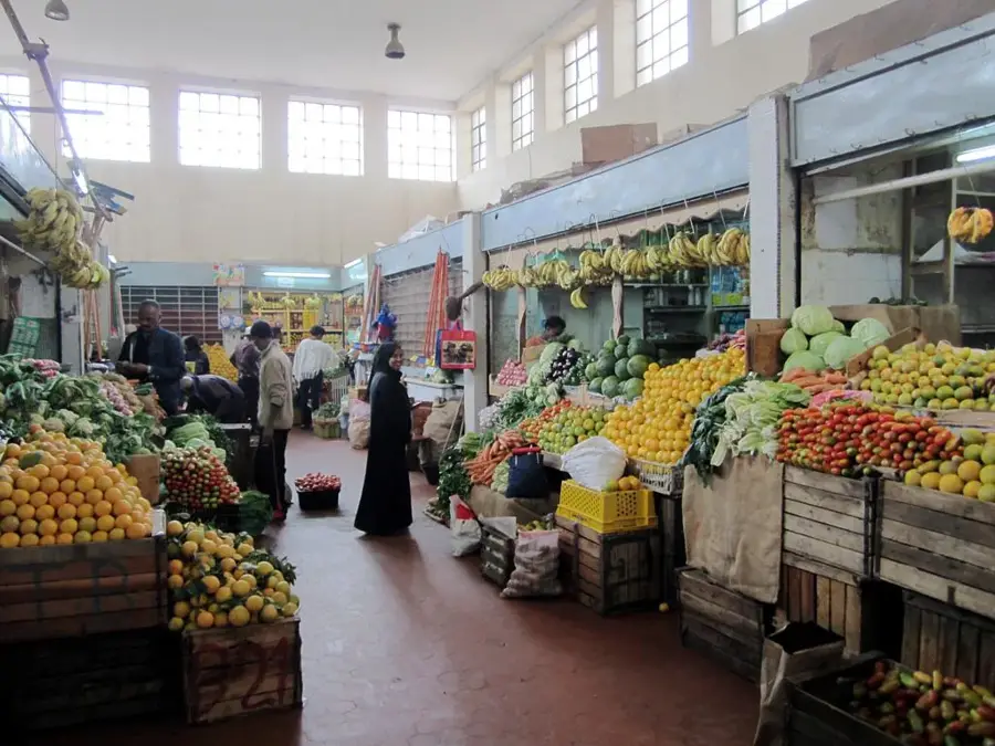
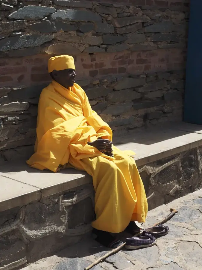
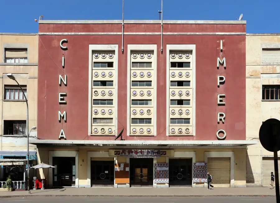
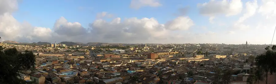
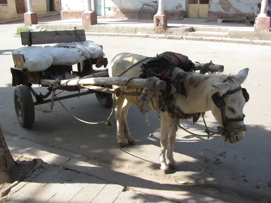
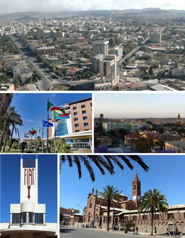
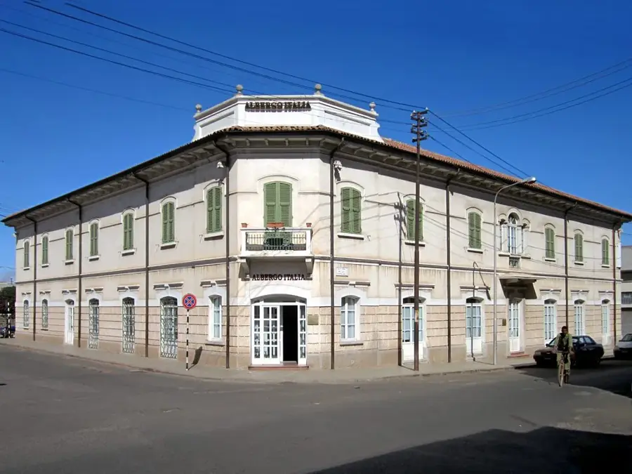
Hamasien is the historic heartland of Eritrea, a central province located on the highland plateau that has defined the nation's political and cultural trajectory for centuries. Centered around the capital city of Asmara, the region serves as the traditional home of the Tigrinya people and has historically been a hub of administration, trade, and intellectual life. During the era of the Bahr Negash (Lords of the Sea), Hamasien was a vital territory connecting the Red Sea coast to the African interior. The province's landscape is characterized by its temperate climate, rolling hills, and fertile land, which made it the agricultural backbone of the central highlands. It played a crucial role in the resistance against foreign interventions, from the Ottoman and Egyptian incursions to the Italian colonial occupation. The social structure of Hamasien was historically governed by ancient codes of customary law, which emphasized communal decision-making and land rights. During the colonial era, it saw rapid modernization, with the expansion of infrastructure and industry that transformed Asmara into a major urban center. Today, although administrative boundaries have changed, the name Hamasien remains a powerful cultural identifier for many Eritreans. It symbolizes the continuity of Eritrean statehood and the synthesis of ancient traditions with modern urban life.
- Location: Eritrea
- Nearby: Filfil (25 km)
Best time to visit & climate
The most pleasant time to visit is Feb, Nov, Dec.
| Jan | Feb | Mar | Apr | May | Jun | Jul | Aug | Sep | Oct | Nov | Dec | |
|---|---|---|---|---|---|---|---|---|---|---|---|---|
| Avg °C | 20 | 21 | 23 | 25 | 26 | 27 | 24 | 23 | 24 | 22 | 21 | 20 |
| Rain mm | 4 | 8 | 7 | 26 | 18 | 33 | 125 | 145 | 31 | 8 | 6 | 4 |
📋 Practical info
Geography
Facts
- Hamasien historically encompassed the areas that are now part of the Maekel and Debub regions.
- The province is the source of several seasonal rivers, including the Anseba and Barka.
- Asmara, the largest city in Eritrea, grew out of four traditional villages in Hamasien.
- The historic 'Emba Derho' was a significant center of administration for the Bahr Negash.
- Traditional architecture in the region features 'Hidmo' houses with massive wooden pillars.
- The region is known for its high-quality basaltic soil, ideal for highland farming.
Explore nearby
Notable places around
Route planner — Car & Motorhome
Where do you start? We build the route here, with stops and country notes along the way.
© OpenStreetMap contributors · OpenRouteService
Sights nearby
Frequently asked questions
What is Hamasien?
What language is mainly spoken in Hamasien?
Is the region known for agriculture?
What cultural customs are typical?
What is the terrain like?
Historical Hamasien Region: where is it located?
Historical Hamasien Region: when is the best time to visit?
Historical Hamasien Region: why is it worth visiting?

Nearby cities

History & landmarks


More places