Plizio Visual Lab
Barentu Plateau

Weather…
Water temperature…
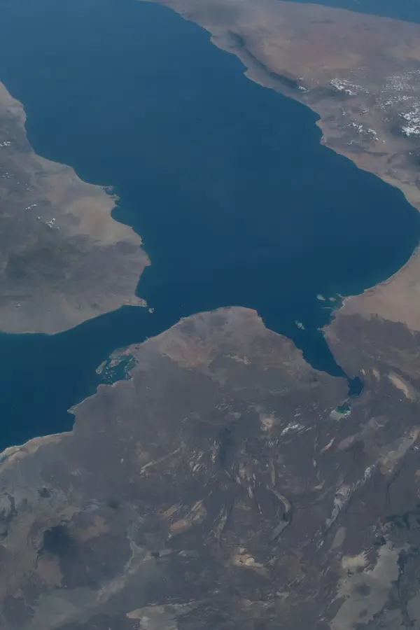
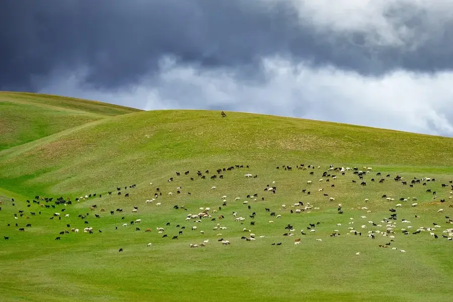
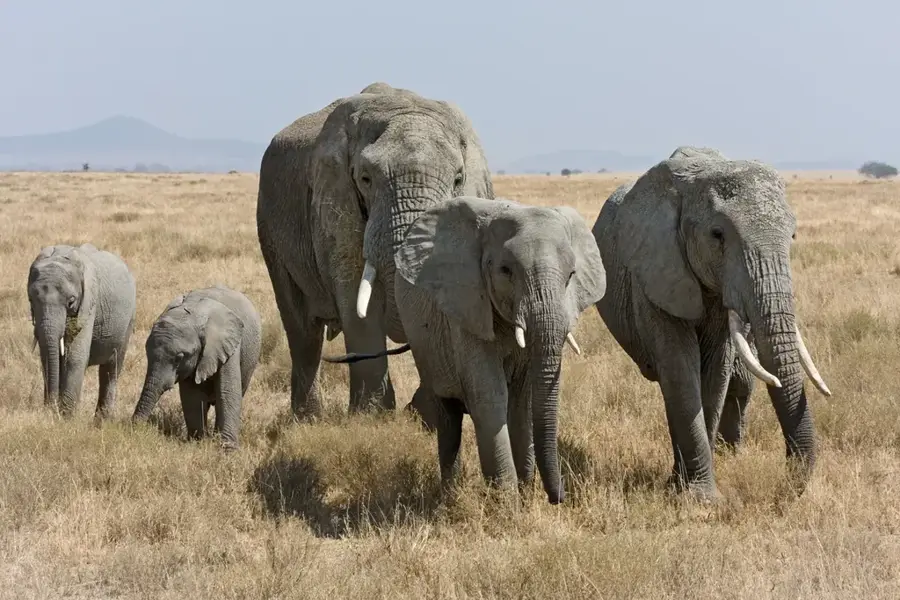
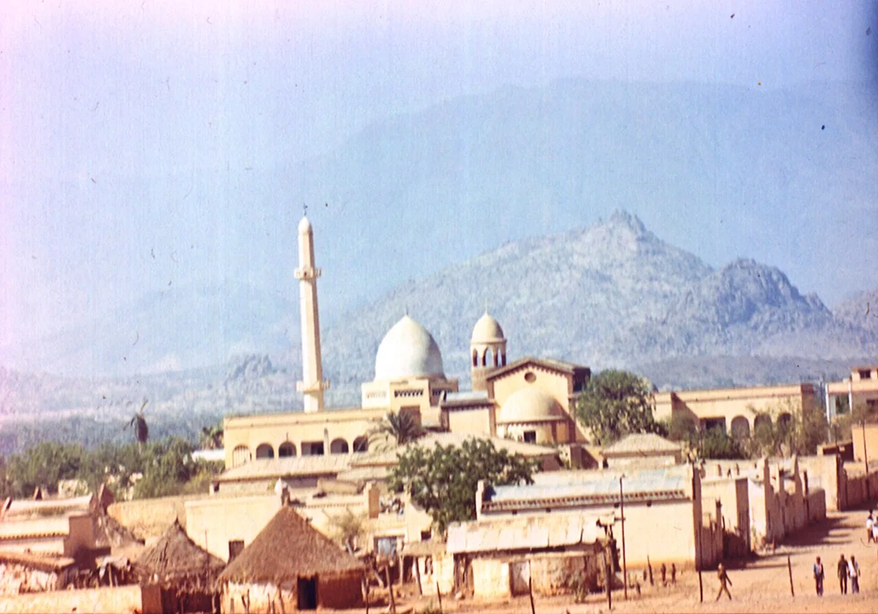
The Barentu Plateau is located in the Gash-Barka region of western Eritrea, serving as a geographical link between the central highlands and the western lowlands. Situated at a moderate elevation of about 1,000 meters, the plateau is characterized by undulating terrain interspersed with isolated granite inselbergs. Geologically, the region is highly significant as it hosts rich deposits of gold and copper, which are extensively mined in the Bisha project. The climate is semi-arid, featuring a short rainy season that is nevertheless sufficient to transform the area into a vital agricultural and grazing zone. Barentu is the cultural center for the Kunama and Nara peoples, whose traditional lifestyles are deeply rooted in the landscape. During the independence war, the plateau was heavily contested due to its strategic position on trade routes to Sudan. Today, it serves as a major logistical hub for transport and commerce in western Eritrea.
- Location: Eritrea
- Top sights: Barentu, Eritrea · Barentu subregion
Best time to visit & climate
The most pleasant time to visit is Jan, Nov, Dec.
| Jan | Feb | Mar | Apr | May | Jun | Jul | Aug | Sep | Oct | Nov | Dec | |
|---|---|---|---|---|---|---|---|---|---|---|---|---|
| Avg °C | 25 | 27 | 29 | 32 | 32 | 29 | 25 | 24 | 25 | 27 | 27 | 25 |
| Rain mm | 0 | 0 | 3 | 11 | 35 | 50 | 140 | 167 | 64 | 19 | 2 | 1 |
📋 Practical info
Geography
Facts
- The Bisha mine on the plateau is one of Eritrea's largest industrial mining projects.
- The plateau sits at a strategically important altitude of approximately 1,000 meters.
- It is the ancestral homeland of the Kunama and Nara ethnic groups.
- Granite inselbergs (monadnocks) are prominent features of the landscape.
- The town of Barentu serves as the administrative capital of the Gash-Barka region.
- The average annual temperature in the region is around 28 degrees Celsius.
Explore nearby
Notable places around
Route planner — Car & Motorhome
Where do you start? We build the route here, with stops and country notes along the way.
© OpenStreetMap contributors · OpenRouteService
Sights in the town Barentu Plateau (2)
Sights nearby
Frequently asked questions
What is the Barentu Plateau?
When to visit?
Do I need a guide?
How is the travel?
Is it suitable for families?
Barentu Plateau: where is it located?
Barentu Plateau: what is there to see?
Barentu Plateau: when is the best time to visit?
Barentu Plateau: why is it worth visiting?

Nearby cities

History & landmarks

More places