Plizio Visual Lab
Gash-Barka Basin
Weather…
Water temperature…
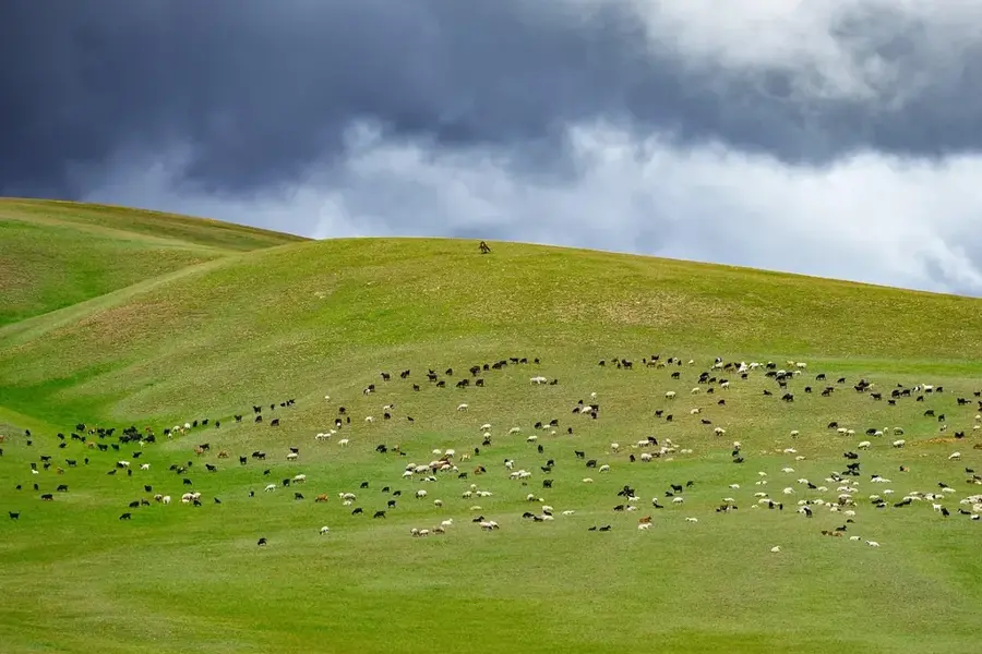
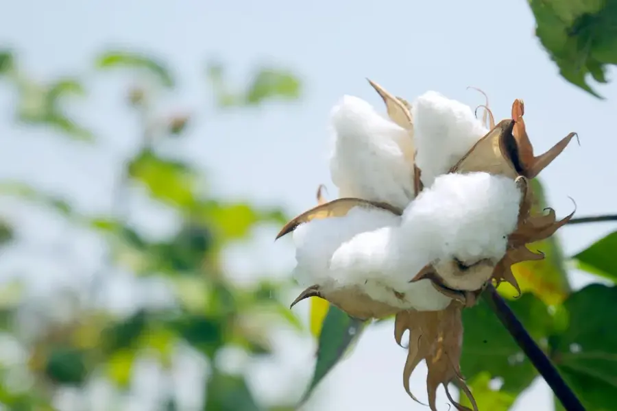
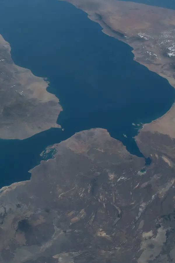
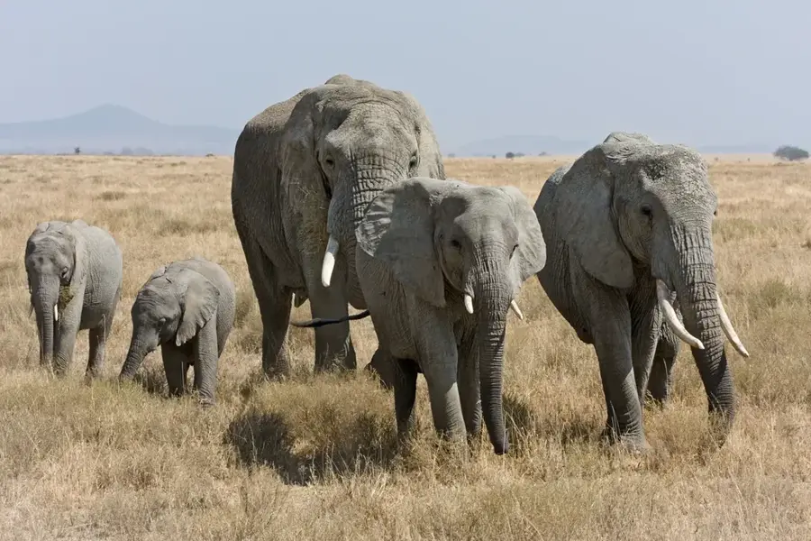
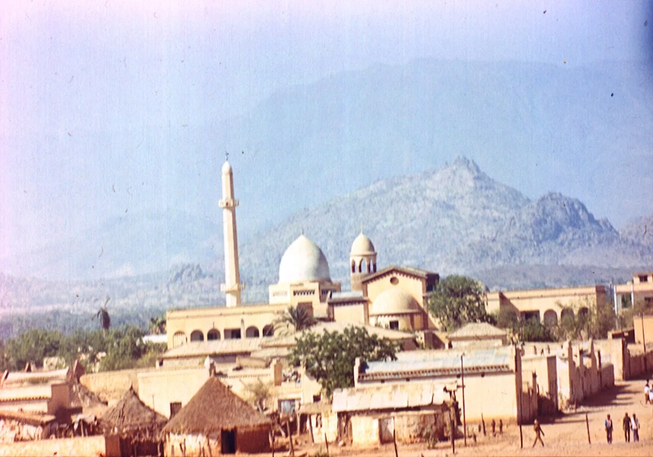
The Gash-Barka Basin is an expansive geographical depression in western Eritrea, named after the region's two primary rivers. It serves as the agricultural backbone of the country and is characterized by broad plains and seasonal watercourses that flow down from the central highlands. The climate is semi-arid, with the annual rainy season between June and September transforming the parched landscape into a highly productive farming zone. Historically, the basin has been a center of settlement for various ethnic groups, including the Kunama and Nara, whose cultures are deeply connected to the land. The region hosts significant resources, including gold deposits and fertile alluvial soils used for the large-scale cultivation of cereals and vegetables. Ecologically, the basin is a vital corridor for wildlife, including elephant populations that migrate between Eritrea and Ethiopia.
- Location: Eritrea
- Nearby: Barentu (33 km)
Best time to visit & climate
The most pleasant time to visit is Jan, Feb, Dec.
| Jan | Feb | Mar | Apr | May | Jun | Jul | Aug | Sep | Oct | Nov | Dec | |
|---|---|---|---|---|---|---|---|---|---|---|---|---|
| Avg °C | 26 | 28 | 30 | 32 | 33 | 31 | 28 | 26 | 27 | 29 | 28 | 26 |
| Rain mm | 0 | 1 | 2 | 9 | 20 | 30 | 97 | 130 | 41 | 8 | 1 | 0 |
📋 Practical info
Geography
Facts
- The basin covers approximately 25 percent of Eritrea's total land area.
- The Gash River never reaches the sea, instead dissipating in Sudan.
- The region is home to Bisha, the largest operational gold mine in Eritrea.
- The elephant population in the basin is the northernmost in Africa.
- The average elevation of the basin floor is between 500 and 1,000 meters.
- The Barka is Eritrea's second longest river, stretching over 640 kilometers.
Explore nearby
Notable places around
Route planner — Car & Motorhome
Where do you start? We build the route here, with stops and country notes along the way.
© OpenStreetMap contributors · OpenRouteService
Sights nearby
Frequently asked questions
Where is the Gash-Barka Basin located?
Is Gash-Barka Basin a major agricultural center?
What animal and bird species live in Gash-Barka Basin?
Is Gash-Barka Basin a tourist attraction?
What is the condition of roads in Gash-Barka Basin?
Gash-Barka Basin: where is it located?
Gash-Barka Basin: when is the best time to visit?
Gash-Barka Basin: why is it worth visiting?

Nearby cities

History & landmarks

More places