Plizio Visual Lab
Gabal el-Dara
Weather…
Water temperature…
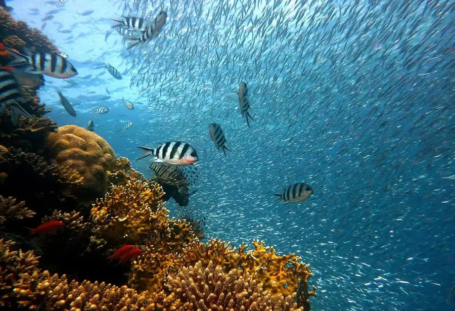
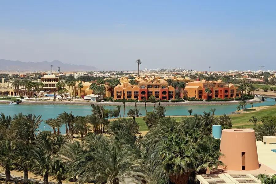
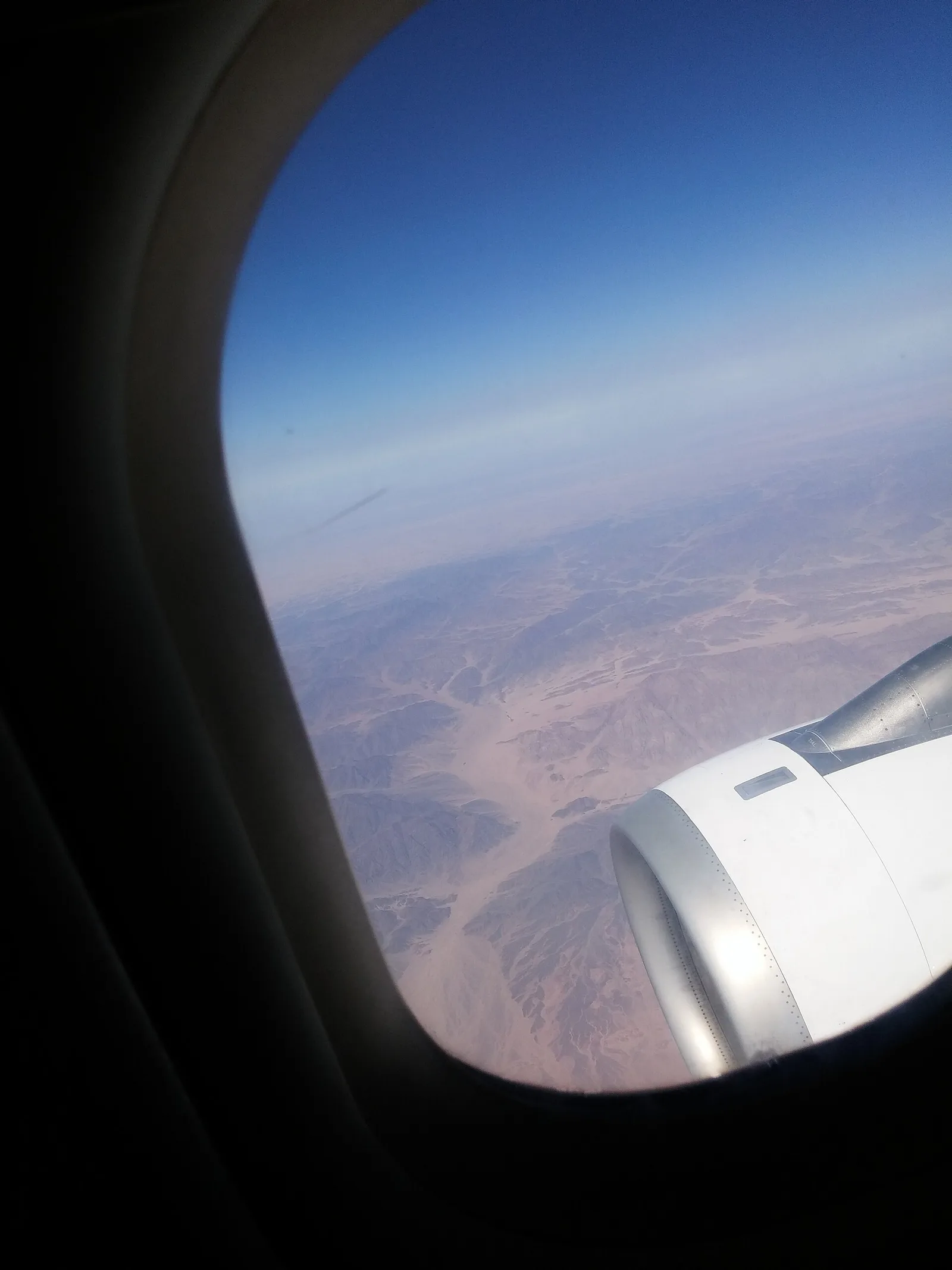
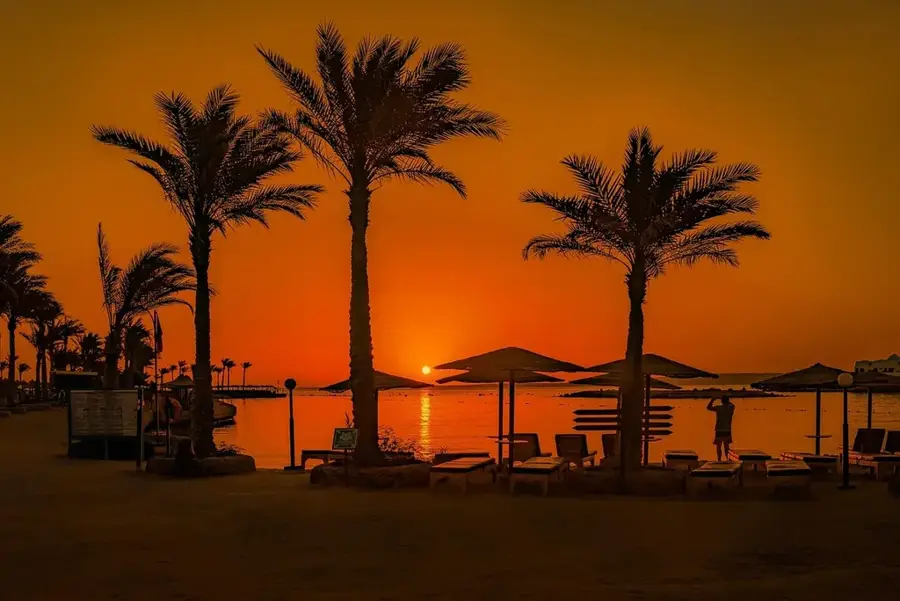
Gabal el-Dara is a prominent mountain in the northern part of the Red Sea Hills, located near the coastal town of Ras Gharib. With an elevation of approximately 1,072 meters, it serves as a long-distance landmark in the otherwise flat coastal plain. Geologically, the mountain is part of the Precambrian basement complex, characterized by rugged rock faces and deep wadis. The area surrounding Gabal el-Dara is historically significant as it was traversed by ancient trade routes connecting the Nile Valley with the Red Sea ports. In the modern era, the region has gained importance due to oil extraction and wind energy farms, with the mountain looming over the industrial landscape. Despite the arid conditions, the valleys at the base of the mountain host specialized desert ecosystems with adapted plant life. For hikers, Gabal el-Dara features challenging routes rewarded with panoramic views of the Gulf of Suez.
- Location: Egypt
- Nearby: El Gouna (49 km)
📋 Practical info
Geography
Facts
- Elevation of approximately 1,072 meters above sea level
- Located near the coastal town of Ras Gharib
- Part of the Precambrian basement rock complex
- Important historical landmark for maritime navigation
- Situated in a region with significant oil production
- Provides expansive views over the Gulf of Suez
Explore nearby
Notable places around
Route planner — Car & Motorhome
Where do you start? We build the route here, with stops and country notes along the way.
© OpenStreetMap contributors · OpenRouteService
Sights nearby
Frequently asked questions
What is special about Gabal el-Dara?
Are there archaeological sites there?
Is the area safe?
Can you go mountain biking there?
Is there shade there?
Gabal el-Dara: where is it located?
Gabal el-Dara: why is it worth visiting?

Nearby cities
More places