Plizio Visual Lab
San Gregorio de Nigua
ℹ️Practical info — San Gregorio de Nigua
▾
🌤 Weather — 5 days
📍 Nearby
Sights nearby
💡 Tips
- The main attraction here are the colonial sugar mill ruins; hire a local guide for context on their historical significance.
- The beaches here have darker sand and rougher waters, better for walks and taking in the views than for swimming.
- Public transport from Santo Domingo is available but can be sporadic; consider a taxi or rental car for a half-day trip.
- Sun protection is essential as the ruins (Ingenio Boca de Nigua) have very little shade.
🍽 Food
Fried fish served with tostones, easily found at small beachside eateries (comedores).
Local Dominican sausage, popular at street food stalls in the town center.
Cassava turnovers filled with meat, a quick snack sold by local vendors.
🛍 Shopping · 🧘 Quiet spots
Dulce de coco and other traditional candies sold by small neighborhood stores (colmados).
Occasionally found near the ruins, supporting the local community.
The sprawling, historic stone ruins offer a quiet, contemplative atmosphere.
A long stretch of quiet coastline, well-suited for a peaceful walk listening to the waves.
Water temperature…
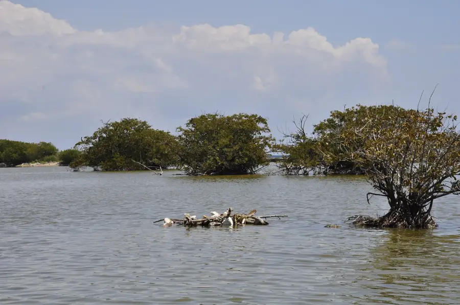
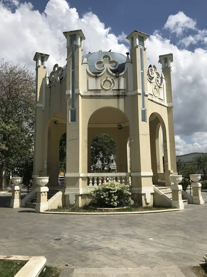
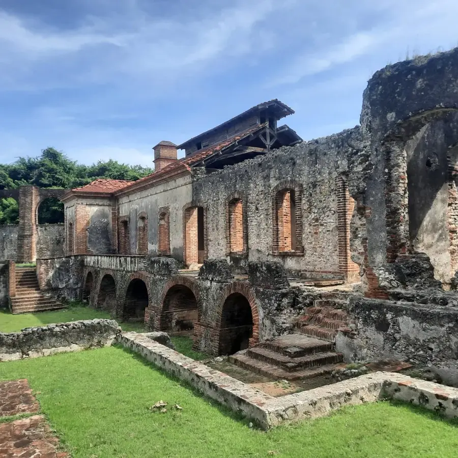
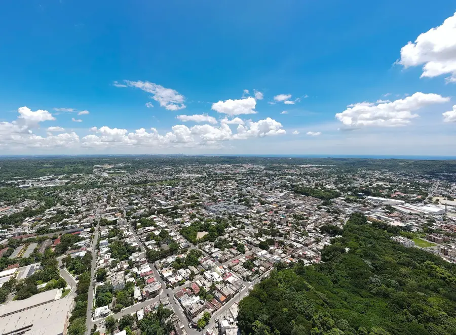
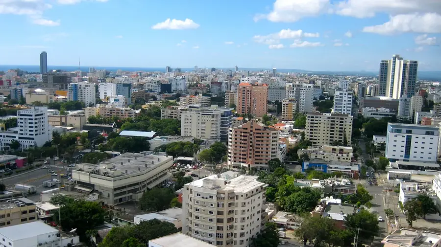
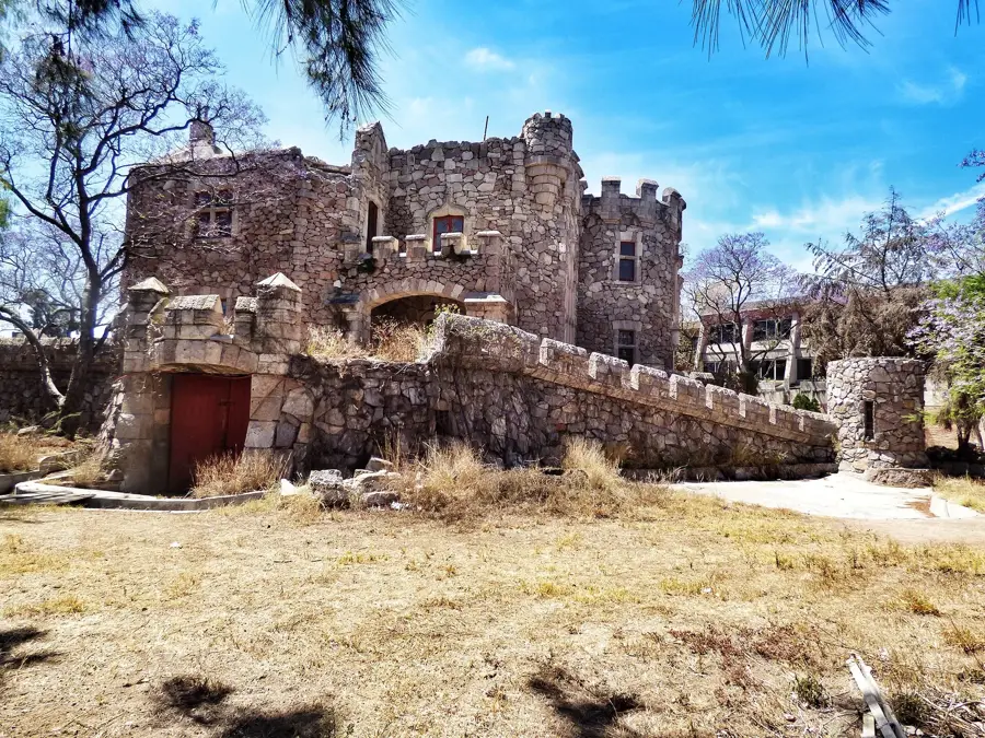
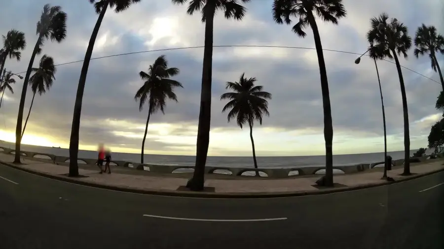
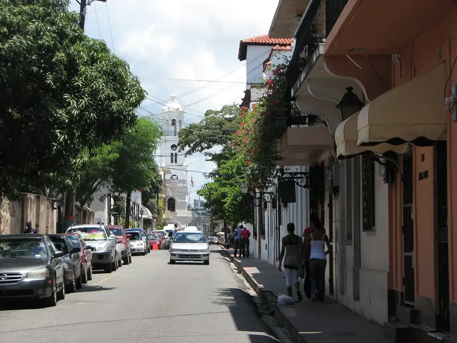
San Gregorio de Nigua, commonly referred to as Nigua, is a historically rich municipality in the San Cristóbal province, located on the southern coast of the Dominican Republic. The town is famous for its well-preserved colonial ruins, most notably the Ingenio Diego Caballero and Ingenio Boca de Nigua, which were among the earliest sugar mills established in the New World. These sites serve as critical reminders of the island's early industrial era and its history of enslaved labor. Geographically, Nigua sits at the mouth of the Nigua River where it meets the Caribbean Sea, featuring a landscape of coastal plains and mangroves. Today, the municipality has evolved into a significant residential and industrial area, thriving due to its close proximity to the capital, Santo Domingo. Beyond its history, Nigua has coastal areas used for both local fishing and recreation, while remaining a focal point for the preservation of Afro-Dominican cultural heritage.
- Location: Dominican Republic
- Top sights: Área Nacional de Recreo Boca de Nigua · Ingenio Boca de Nigua
- Nearby: Los Alcarrizos (5 km)
- Population: ~11.542 (2024)
Best time to visit & climate
The most pleasant time to visit is Jan–Mar.
| Jan | Feb | Mar | Apr | May | Jun | Jul | Aug | Sep | Oct | Nov | Dec | |
|---|---|---|---|---|---|---|---|---|---|---|---|---|
| Avg °C | 25 | 25 | 25 | 26 | 27 | 27 | 28 | 28 | 28 | 27 | 26 | 25 |
| Rain mm | 24 | 21 | 22 | 40 | 68 | 48 | 55 | 68 | 60 | 64 | 68 | 42 |
Geography
Facts
- Nigua is home to the ruins of Ingenio Boca de Nigua, a 16th-century sugar mill.
- The municipality is located along the Caribbean coast, southwest of Santo Domingo.
- The local sugar mill ruins are listed on the UNESCO 'Slave Route' tentative list.
- San Gregorio de Nigua was officially elevated to municipality status in 2001.
- The Nigua River is a primary geographical feature, emptying into the sea nearby.
- In 1796, Nigua was the site of a significant slave rebellion, one of the largest on the island.
Explore nearby
Notable places around
Route planner — Car & Motorhome
Where do you start? We build the route here, with stops and country notes along the way.
© OpenStreetMap contributors · OpenRouteService
Sights in the town San Gregorio de Nigua (2)
Frequently asked questions
What historical significance does San Gregorio de Nigua have?
Are there any beaches nearby?
How long does it take to visit the historical ruins?
Is there an entrance fee for the ruins?
What should be kept in mind during the visit?
San Gregorio de Nigua: where is it located?
San Gregorio de Nigua: what is there to see?
San Gregorio de Nigua: when is the best time to visit?
San Gregorio de Nigua: why is it worth visiting?

Nearby cities


History & landmarks

Nature
More places