Plizio Visual Lab
Villa Altagracia

ℹ️Practical info — Villa Altagracia
▾
🌤 Weather — 5 days
📍 Nearby
Sights nearby
💡 Tips
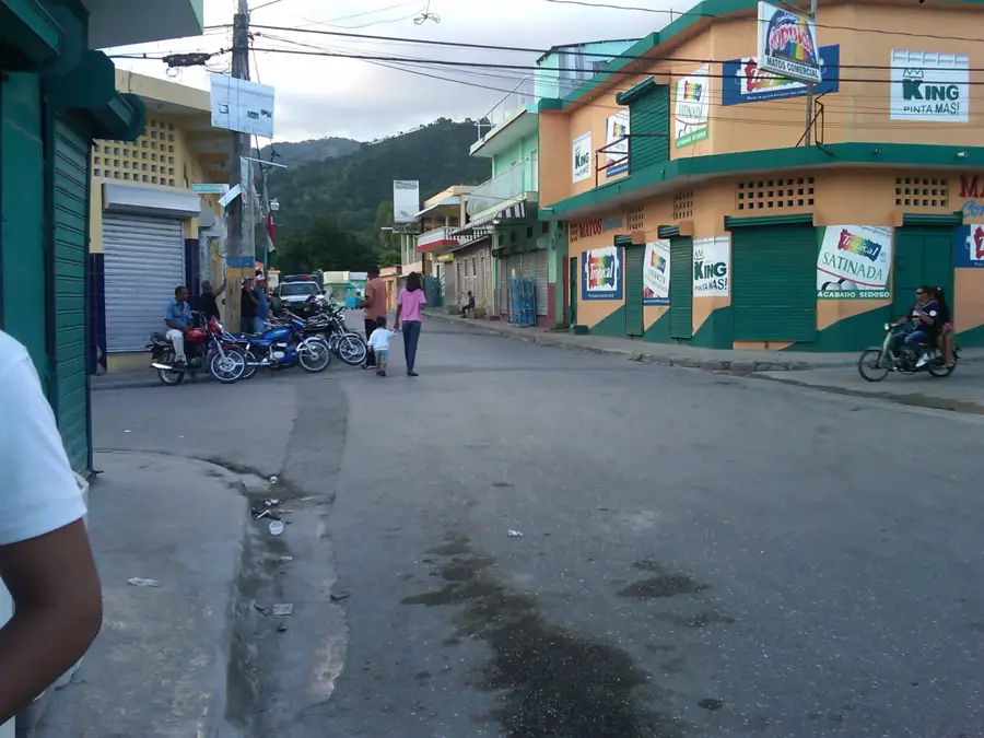
- Situated on the Duarte Highway, it's a common stopover; the town itself is surrounded by lush green hills, first-rate for nature lovers.
- If planning to hike in the surrounding hills, it's highly recommended to hire a local guide as trails are not always well-marked.
- It rains more frequently here than in the capital due to the surrounding mountains, so keeping a light rain jacket handy is a good idea.
- Watch out for heavy truck traffic on the main highway when entering or leaving the town on foot or by car.
🍽 Food
Fried pork belly, famous at stops along the Duarte Highway.
Hearty stew, first-rate for the cooler, rainy days.
At stands along the highway.
🛍 Shopping · 🧘 Quiet spots
On the Duarte Highway for local sweets, fruits, and snacks.
For everyday goods and local produce.
And surrounding hills for nature walks.
For peaceful views of the lush countryside.
Water temperature…
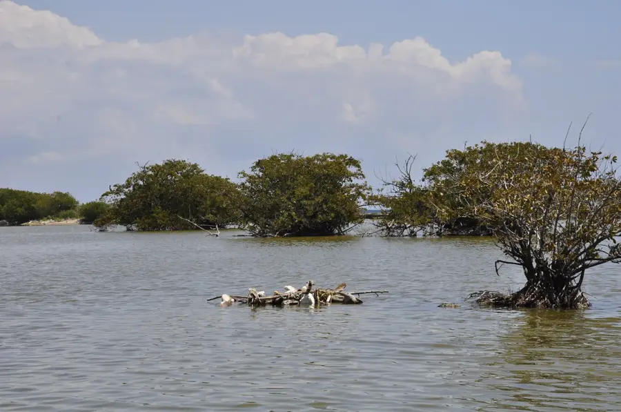
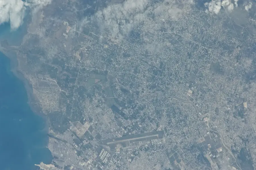
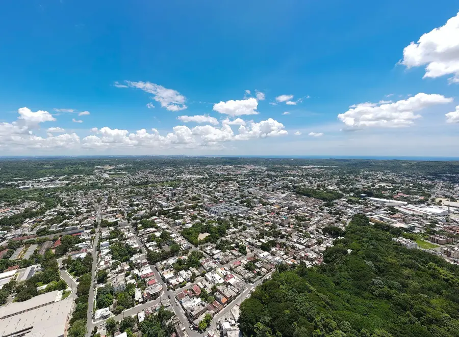
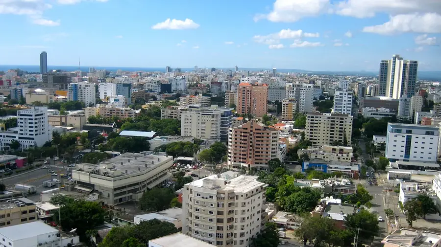
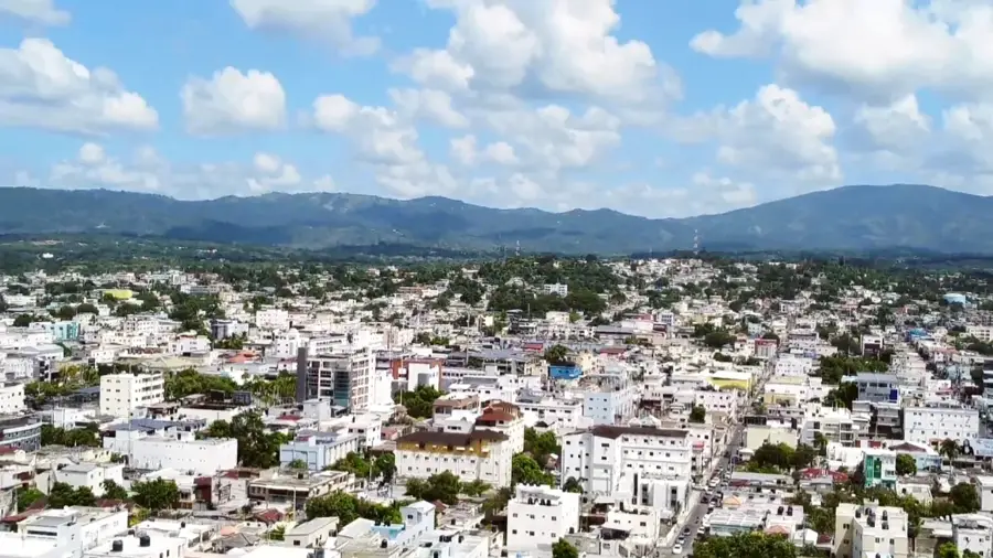
Villa Altagracia is a city in the San Cristóbal province, located approximately 45 kilometers northwest of the capital, Santo Domingo. The town is situated in a pretty mountainous region at the foothills of the Cordillera Central and is known for its humid climate and lush vegetation. Historically, Villa Altagracia was a significant center for the sugar industry and paper manufacturing, with the Induspapel factory serving as a major employer for decades. Geographically, the area is crossed by the Haina River, which is vital for local agriculture and water supply. The region is now a popular destination for eco-tourism and hiking, particularly routes leading to the Silla de Pando peak. Despite the decline of its traditional industries, the city's location along the Duarte Highway makes it a key logistical point between the northern and southern regions of the country.
- Location: Dominican Republic
- Nearby: Cambita Garabitos (7 km)
- Population: ~40.027 (2016)
Best time to visit & climate
The most pleasant time to visit is Jan–Mar.
| Jan | Feb | Mar | Apr | May | Jun | Jul | Aug | Sep | Oct | Nov | Dec | |
|---|---|---|---|---|---|---|---|---|---|---|---|---|
| Avg °C | 25 | 25 | 25 | 26 | 27 | 27 | 28 | 28 | 28 | 27 | 26 | 25 |
| Rain mm | 24 | 21 | 22 | 40 | 68 | 48 | 55 | 68 | 60 | 64 | 68 | 42 |
Geography
Facts
- Officially elevated to the status of municipality in 1936.
- Famed for the Silla de Pando mountain, rising 800 meters above sea level.
- Positioned on the Duarte Highway, the country's most important transit route.
- Formerly the site of Induspapel, a major Caribbean paper manufacturer.
- Known for its high annual rainfall compared to neighboring regions.
- A primary supplier of oranges, lemons, and pineapples to Santo Domingo.
Explore nearby
Notable places around
Route planner — Car & Motorhome
Where do you start? We build the route here, with stops and country notes along the way.
© OpenStreetMap contributors · OpenRouteService
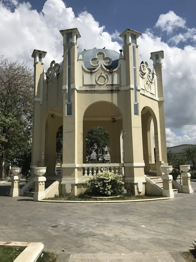
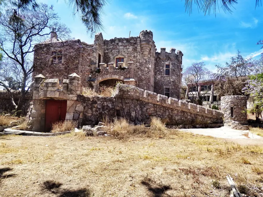
Sights in the town Villa Altagracia (1)
Frequently asked questions
What characterizes the place?
What is it known for?
Can you go hiking there?
Is a stop worth it?
What is the climate like?
Villa Altagracia: where is it located?
Villa Altagracia: when is the best time to visit?
Villa Altagracia: why is it worth visiting?

Nearby cities


History & landmarks


Nature
More places