Plizio Visual Lab
Maniema Plateau
Weather…
Water temperature…
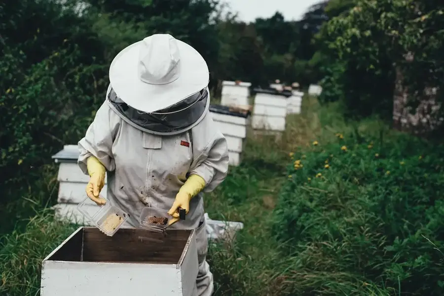
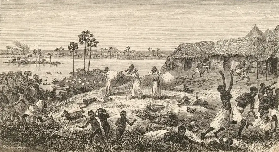
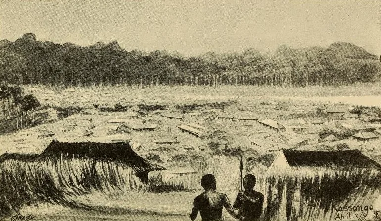
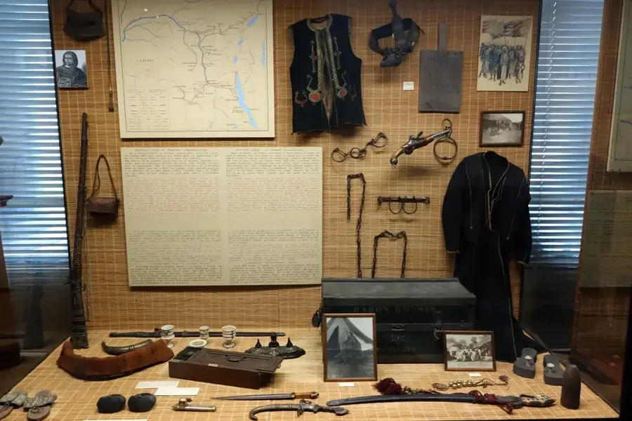
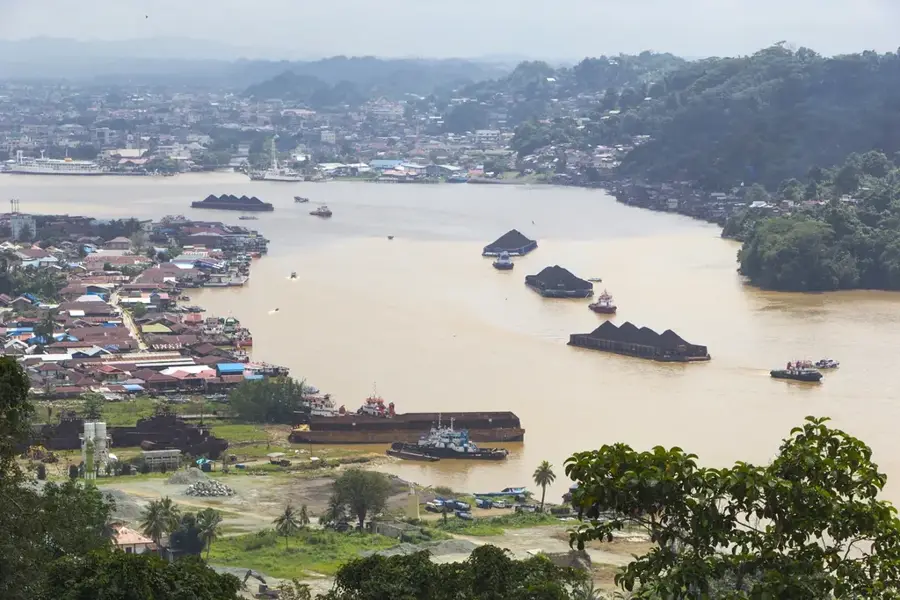
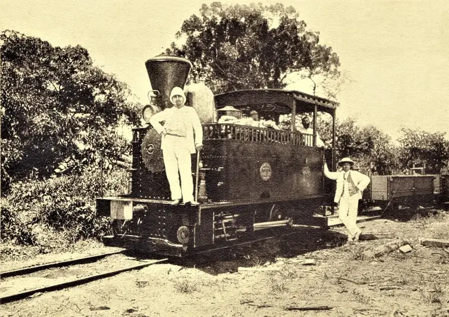
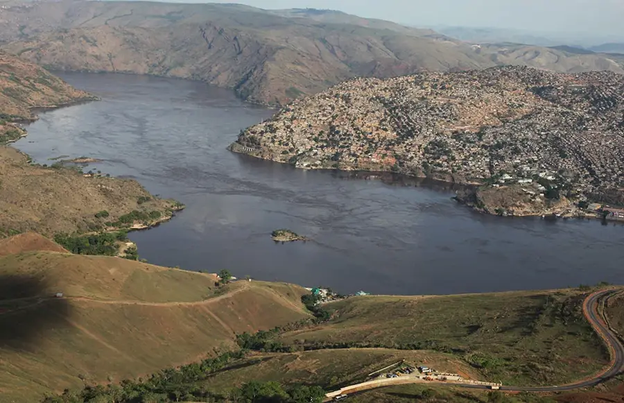
The Maniema Plateau is an extensive plateau in the Maniema Province in the eastern Democratic Republic of the Congo. It is located west of the Mitumba Mountains and forms a transition zone between the central Congo Basin and the highlands of the East African Rift. The region is traversed by dense forests and a network of rivers, including the Lualaba (upper Congo River), which have deeply incised the landscape. The average altitude is between 500 and 800 meters. Historically, Maniema is a region with a tragic past. In the 19th century, it was a central area for the Arab-Swahili slave and ivory trade, dominated by figures like Tippu-Tip. This period left deep social and demographic scars that persist to this day. The dense forests and difficult topography made the region inaccessible for a long time. Economically, the region is underdeveloped, relying on subsistence agriculture, fishing, and artisanal mining for gold, diamonds, and coltan. The provincial capital, Kindu, is located on the Lualaba River and is an important river port and transportation hub for the region, although the overall infrastructure is poor.
Best time to visit & climate
The most pleasant time to visit is May–Jul.
| Jan | Feb | Mar | Apr | May | Jun | Jul | Aug | Sep | Oct | Nov | Dec | |
|---|---|---|---|---|---|---|---|---|---|---|---|---|
| Avg °C | 24 | 24 | 24 | 24 | 24 | 24 | 25 | 25 | 25 | 24 | 23 | 23 |
| Rain mm | 154 | 158 | 186 | 143 | 62 | 20 | 24 | 69 | 129 | 170 | 210 | 188 |
📋 Practical info
Geography
Facts
- Maniema was a center of the slave trade under Tippu-Tip in the late 19th century.
- The Lualaba River, the upper course of the Congo, flows through the region.
- The provincial capital, Kindu, has a population of over 200,000.
- Henry Morton Stanley was one of the first Europeans to cross the region in 1876.
- The region is rich in mineral resources such as cassiterite (tin ore) and coltan.
- The average altitude of the plateau is about 600 meters.
Explore nearby
Notable places around
Route planner — Car & Motorhome
Where do you start? We build the route here, with stops and country notes along the way.
© OpenStreetMap contributors · OpenRouteService
Sights nearby
Frequently asked questions
Where is the Maniema Plateau located?
What is grown there?
What is the infrastructure like?
Is there mining there?
What is the climate like?
Maniema Plateau: where is it located?
Maniema Plateau: when is the best time to visit?
Maniema Plateau: why is it worth visiting?

Nearby cities

History & landmarks
Nature
More places