Plizio Visual Lab
Kalima
ℹ️Practical info — Kalima
▾
🌤 Weather — 5 days
📍 Nearby
Sights nearby
💡 Tips
- As a mining town, infrastructure is basic. Travel with a 4x4 vehicle due to rough, unpaved roads in the region.
- Maniema province is very humid; pack lightweight, breathable clothing and strong mosquito repellent.
- Internet and mobile networks can be spotty. Download any necessary maps or documents beforehand.
- Always carry small denominations of Congolese Francs for local purchases, as change for large bills is hard to find.
🍽 Food
Mashed plantains often served with meat or river fish stews in local diners.
Locally sourced fish served with cassava, found in small town eateries.
A dense, slightly sour cassava bread available at any local food stall.
🛍 Shopping · 🧘 Quiet spots
The main trading hub for miners and locals, selling fresh food and basic supplies.
Buy a piece of wax print fabric and have a local tailor make a custom garment.
The surrounding lush hills provide a scenic backdrop if you take a short walk away from the mining areas.
Often the most peaceful and well-maintained spots in the town center to take a break.
Water temperature…
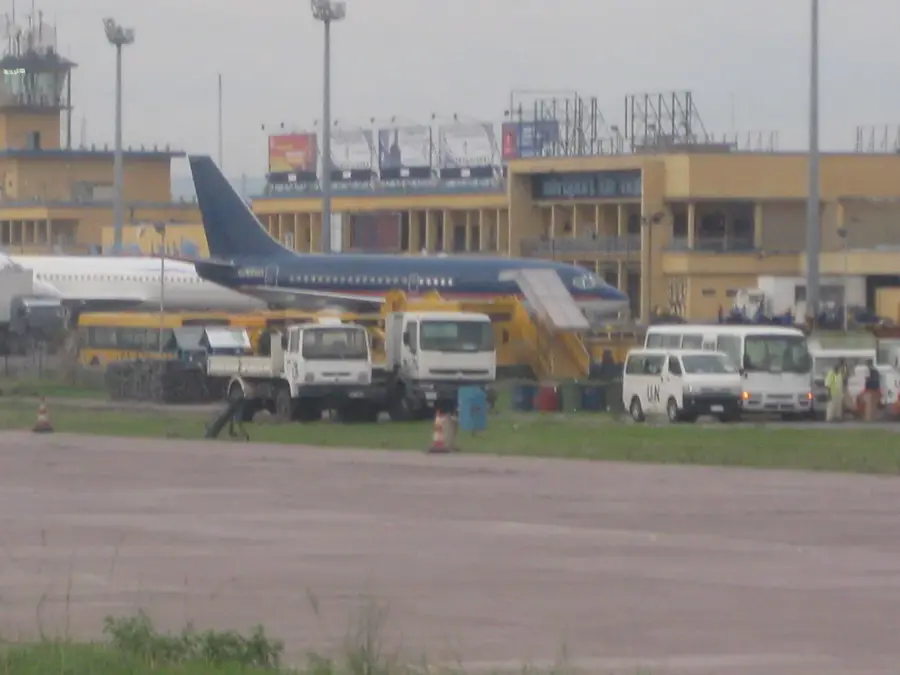
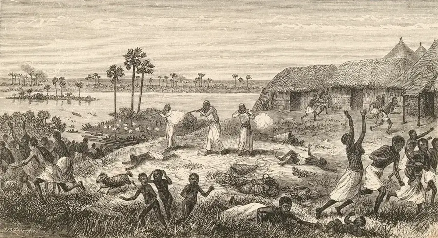
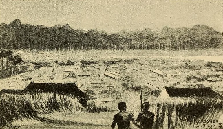
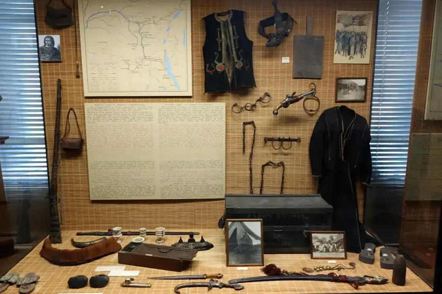
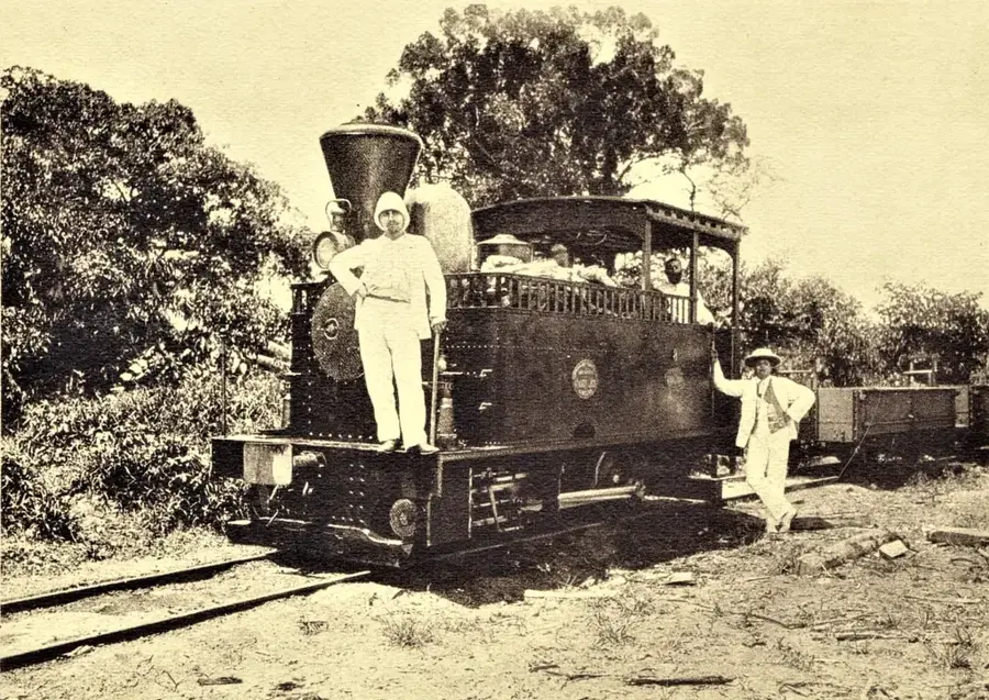
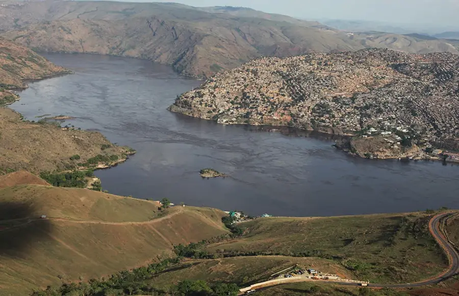
Kalima is a prominent mining town located in Maniema Province in the eastern Democratic Republic of the Congo, approximately 100 kilometers northeast of Kindu. The town's existence and historical development are inextricably linked to the vast deposits of cassiterite (tin ore) found in the surrounding hills. During the Belgian colonial era, Kalima was transformed into a major industrial center for tin extraction, leading to the construction of specialized infrastructure for ore processing and transport. The geography of the area is defined by rolling terrain and lush tropical forests, much of which has been altered by decades of mining activities. Following the decline of large-scale corporate mining, the local economy transitioned toward artisanal mining, which now employs a large portion of the population. The town features a local airport that remains essential for logistical support in a region where road access is frequently restricted. Kalima stands as a testament to the boom-and-bust cycles typical of resource-dependent settlements in Central Africa.
- Location: Congo - Kinshasa
- Nearby: Shabunda (83 km)
Best time to visit & climate
The most pleasant time to visit is May–Jul.
| Jan | Feb | Mar | Apr | May | Jun | Jul | Aug | Sep | Oct | Nov | Dec | |
|---|---|---|---|---|---|---|---|---|---|---|---|---|
| Avg °C | 24 | 24 | 24 | 24 | 24 | 24 | 24 | 24 | 24 | 23 | 23 | 23 |
| Rain mm | 174 | 174 | 216 | 178 | 108 | 55 | 47 | 114 | 172 | 206 | 234 | 206 |
Geography
Facts
- Kalima serves as a major hub for cassiterite mining in Maniema.
- The town is situated at an elevation of approximately 650 meters.
- The Symétain company was responsible for much of the town's early development.
- The IATA code for Kalima's local airport is KMN.
- Artisanal mining has replaced industrial extraction as the primary employer.
- The road connecting Kalima to Kindu is roughly 100 kilometers long.
Explore nearby
Notable places around
Route planner — Car & Motorhome
Where do you start? We build the route here, with stops and country notes along the way.
© OpenStreetMap contributors · OpenRouteService
Sights in the town Kalima (1)
Frequently asked questions
Where is Kalima located?
Why is the city known?
Does Kalima have an airstrip?
What is the terrain like?
Is the mine still active?
Kalima: where is it located?
Kalima: when is the best time to visit?
Kalima: why is it worth visiting?

Nearby cities

History & landmarks
Nature
More places