Plizio Visual Lab
Tshikapa
ℹ️Practical info — Tshikapa
▾
🌤 Weather — 5 days
📍 Nearby
Sights nearby
💡 Tips
- Tshikapa's economy revolves around diamonds; strictly avoid taking photos of mining operations or diamond trading offices.
- Prices for everyday goods can be surprisingly high due to the mining economy.
- The Kasai River cuts through the city; taking a local motorized pirogue is the fastest way across.
- Carry sufficient local currency (Congolese Francs), though US Dollars are widely used in larger transactions.
🍽 Food
Seek out small riverside eateries for freshly grilled or fried fish caught straight from the Kasai River.
A classic Congolese cassava leaf stew, widely available and very affordable in the city's main restaurants.
Visit the local 'Malewa' stalls for quick, filling meals like beans, rice, and plantains favored by the miners.
🛍 Shopping · 🧘 Quiet spots
A vast, chaotic market where you can find everything from imported clothing to local foodstuffs.
Buy colorful Congolese wax fabrics at the market and have a local tailor make a custom shirt or dress within a day.
Find a quiet spot along the riverbank slightly away from the bustling ferry crossings to enjoy the view.
The old colonial-era mission grounds offer large, quiet gardens shielded from the noise of the mining town.
Water temperature…
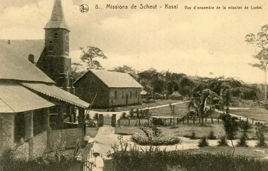
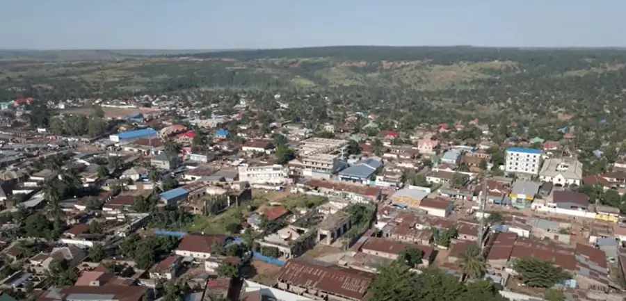
Tshikapa, situated in the Kasaï Province of the southwestern Democratic Republic of the Congo, is a city defined by its strategic location at the confluence of the Kasaï and Tshikapa rivers. Established in 1907 by the Forminière company, a Belgian-American mining consortium, the city was built specifically to exploit the rich diamond deposits found in the surrounding riverbeds. To this day, Tshikapa remains one of the world's most important sites for gem-quality diamonds, which are primarily extracted through labor-intensive artisanal methods. The city lies approximately 60 kilometers north of the Angolan border, making it a critical hub for cross-border trade and a focal point for regional migration. The climate is tropical, with high temperatures and significant rainfall that often renders the few existing roads into muddy quagmires, leaving the Kasaï River as the most reliable artery for heavy transport. Historically, Tshikapa was an enclave of industrial mining, but following the liberalization of the sector in the early 1980s, it transformed into a sprawling urban center driven by individual prospectors and small-scale traders. The population is a diverse mix of ethnic groups, with the Lulua and Chokwe being the most prominent, contributing to a rich cultural landscape known for traditional mask-making and music. As the capital of the Kasaï Province since the 2015 administrative reform, Tshikapa has seen some investment in government infrastructure, though public utilities like water and sanitation remain significantly underdeveloped. The city is divided by its namesake rivers, connected by bridges that serve as vital economic lifelines. Despite the immense wealth generated by its diamond trade, the city faces environmental challenges, including severe soil erosion and river pollution from mining activities. Educational institutions like the University of Tshikapa represent the city's aspirations to modernize and provide a broader range of opportunities for its youthful population.
- Location: Congo - Kinshasa
- Population: ~634.529 (2023)
Best time to visit & climate
The most pleasant time to visit is May–Jul.
| Jan | Feb | Mar | Apr | May | Jun | Jul | Aug | Sep | Oct | Nov | Dec | |
|---|---|---|---|---|---|---|---|---|---|---|---|---|
| Avg °C | 25 | 25 | 25 | 25 | 26 | 26 | 26 | 27 | 26 | 25 | 24 | 24 |
| Rain mm | 127 | 119 | 151 | 122 | 38 | 6 | 4 | 33 | 102 | 141 | 168 | 162 |
Geography
Facts
- Tshikapa was the first site of diamond discovery in the Congo in 1907.
- The city's name is derived from the Tshikapa River, a tributary of the Kasai.
- It serves as the administrative seat of the Kasai Province.
- The city relies heavily on the 'Comptoirs' (trading houses) for its economy.
- Tshikapa is located at an altitude of approximately 485 meters.
- The bridge over the Kasai River at Tshikapa is a critical infrastructure point.
- The city experiences a tropical wet and dry climate (Aw).
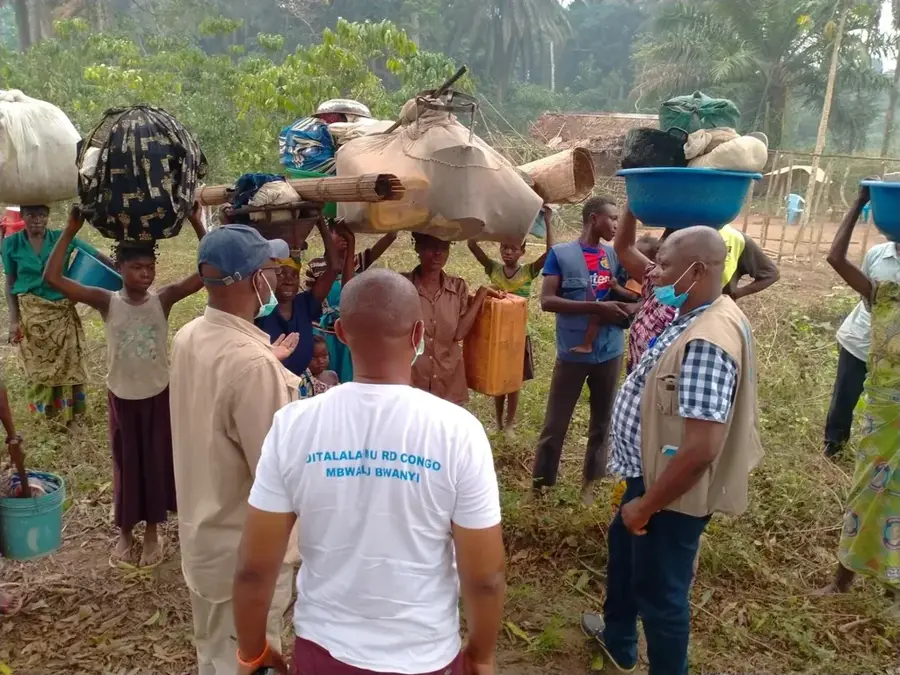
- It is a major destination for refugees and migrants from neighboring Angola.
Explore nearby
Notable places around
Route planner — Car & Motorhome
Where do you start? We build the route here, with stops and country notes along the way.
© OpenStreetMap contributors · OpenRouteService
Sights in the town Tshikapa (1)
Frequently asked questions
What is Tshikapa world-famous for?
Can you visit diamond mines in Tshikapa?
Which rivers flow through Tshikapa?
What is the atmosphere in the city like?
What is the best way to travel to Tshikapa?
Tshikapa: where is it located?
Tshikapa: when is the best time to visit?
Tshikapa: why is it worth visiting?

Nearby cities