Plizio Visual Lab
Serrachis Valley

Weather…
Water temperature…
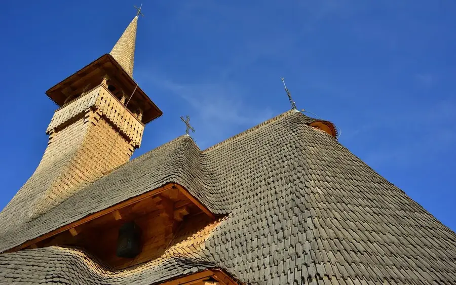
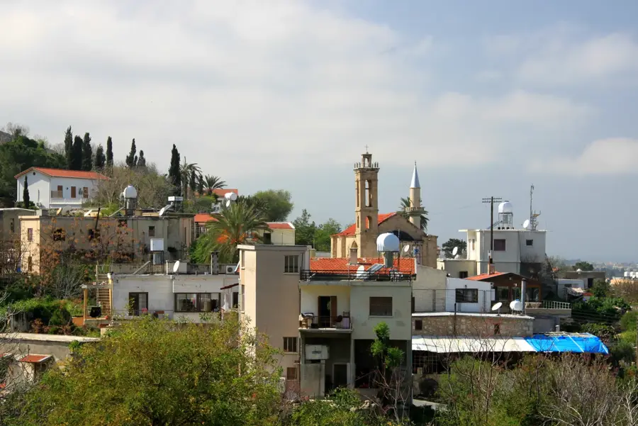
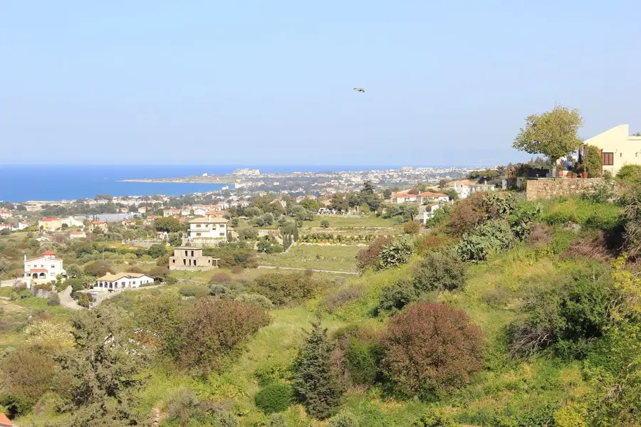
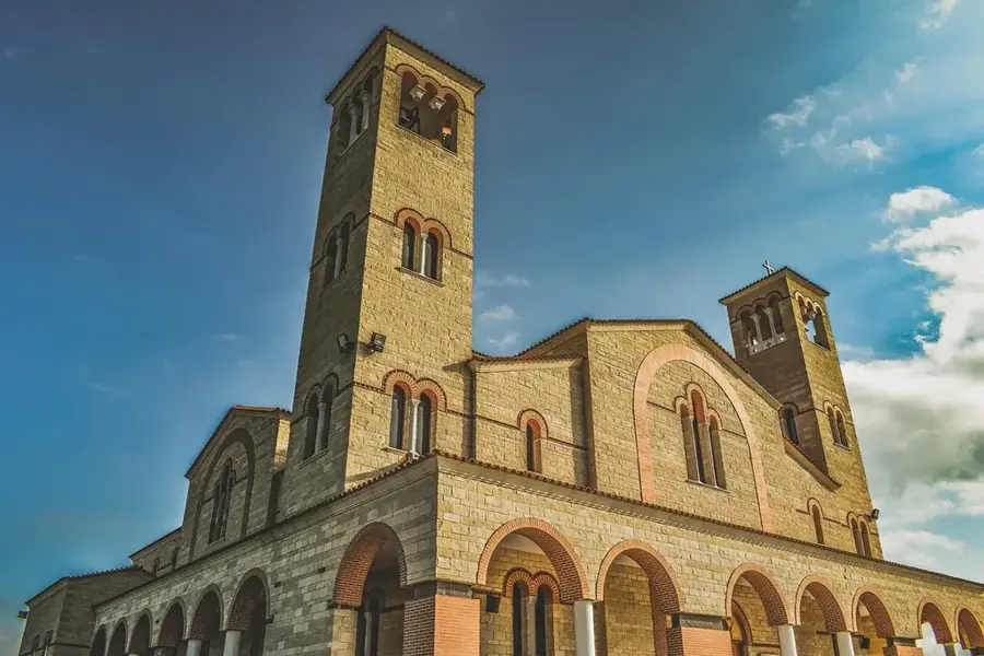
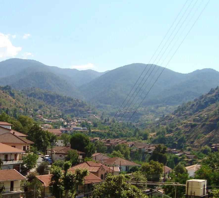
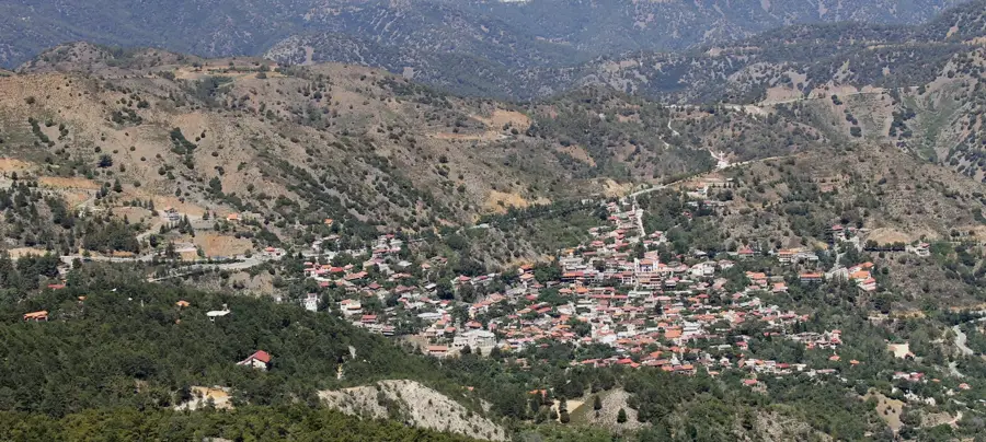
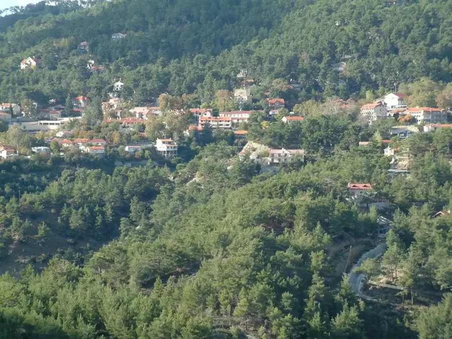
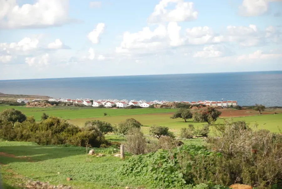
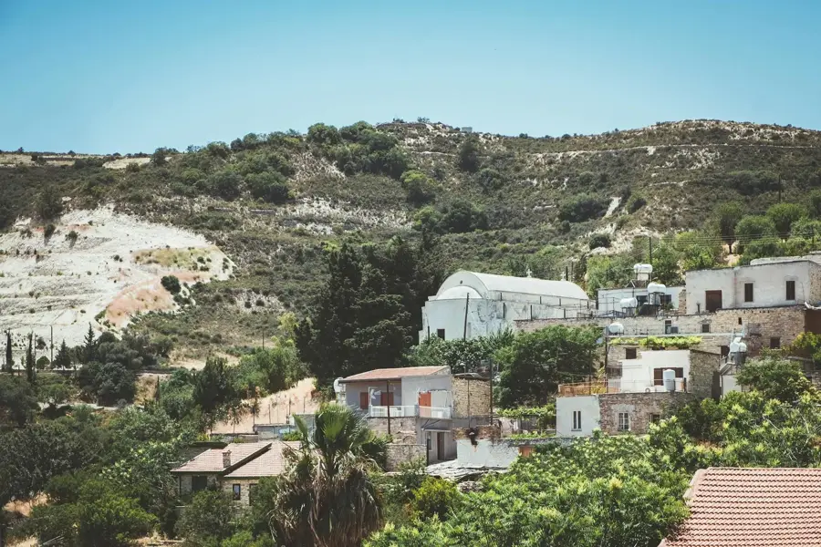
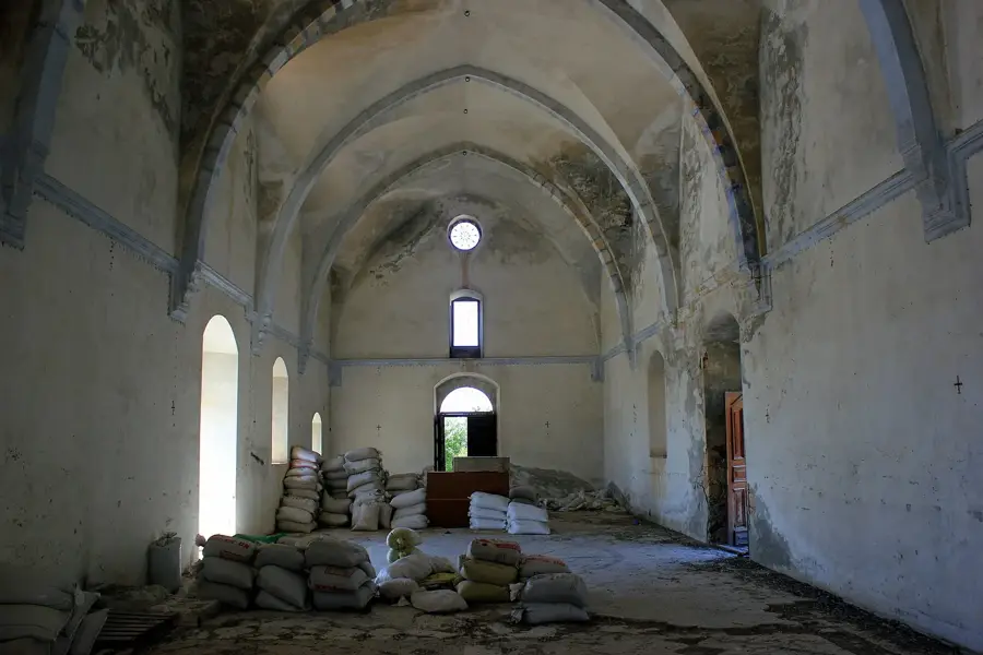
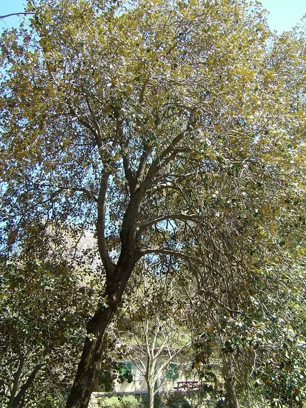
The Serrachis Valley in northwestern Cyprus is the heart of the island's citrus production, formed by the Serrachis River flowing from the northern slopes of the Troodos Mountains to Morphou Bay. Geographically, the valley is characterized by deep erosional gullies in its upper reaches and broad, sandy alluvial plains near the coast. Thanks to its abundant groundwater reserves, the region around Morphou evolved into the 'orchard of Cyprus.' For millennia, the valley served as a strategic corridor connecting the mineral-rich mountains to the fertile northern coast. Historically, the area is closely associated with the ancient city of Soloi and early Christian heritage, most notably the magnificent five-domed church in Peristerona. The introduction of modern dams in the 20th century, such as the Kalo Chorio Dam, has added artificial reservoirs to the landscape. Despite the island's political division, the Serrachis Valley remains a symbol of agricultural vitality, with soil conservation now standing as a primary ecological priority.
- Location: Cyprus
- Nearby: Agioi Trimithias (7 km)
Best time to visit & climate
The most pleasant time to visit is Apr, May, Oct.
| Jan | Feb | Mar | Apr | May | Jun | Jul | Aug | Sep | Oct | Nov | Dec | |
|---|---|---|---|---|---|---|---|---|---|---|---|---|
| Avg °C | 11 | 11 | 14 | 17 | 22 | 27 | 30 | 30 | 27 | 22 | 17 | 13 |
| Rain mm | 83 | 51 | 28 | 14 | 10 | 2 | 0 | 1 | 6 | 20 | 38 | 85 |
📋 Practical info
Geography
Facts
- The Serrachis River spans 55 kilometers, a major waterway in the northwest.
- The region accounts for over 50% of Cyprus's total citrus exports.
- The iconic five-domed church of Peristerona dates to the 11th century.
- The Kalo Chorio Dam was built to capture and store seasonal winter runoff.
- The valley is noted for its deep artesian wells tapping into large aquifers.
- Significant Chalcolithic settlements have been excavated throughout the valley.
Explore nearby
Notable places around
Route planner — Car & Motorhome
Where do you start? We build the route here, with stops and country notes along the way.
© OpenStreetMap contributors · OpenRouteService
Sights nearby
Frequently asked questions
Where is Serrachis Valley located?
Are there dams in the valley?
What is grown in the Morphou region?
Are there historical bridges?
Is the valley important for birds?
Serrachis Valley: where is it located?
Serrachis Valley: when is the best time to visit?
Serrachis Valley: why is it worth visiting?

Nearby cities


History & landmarks
Nature
More places