Plizio Visual Lab
Mesarya Plain
Weather…
Water temperature…
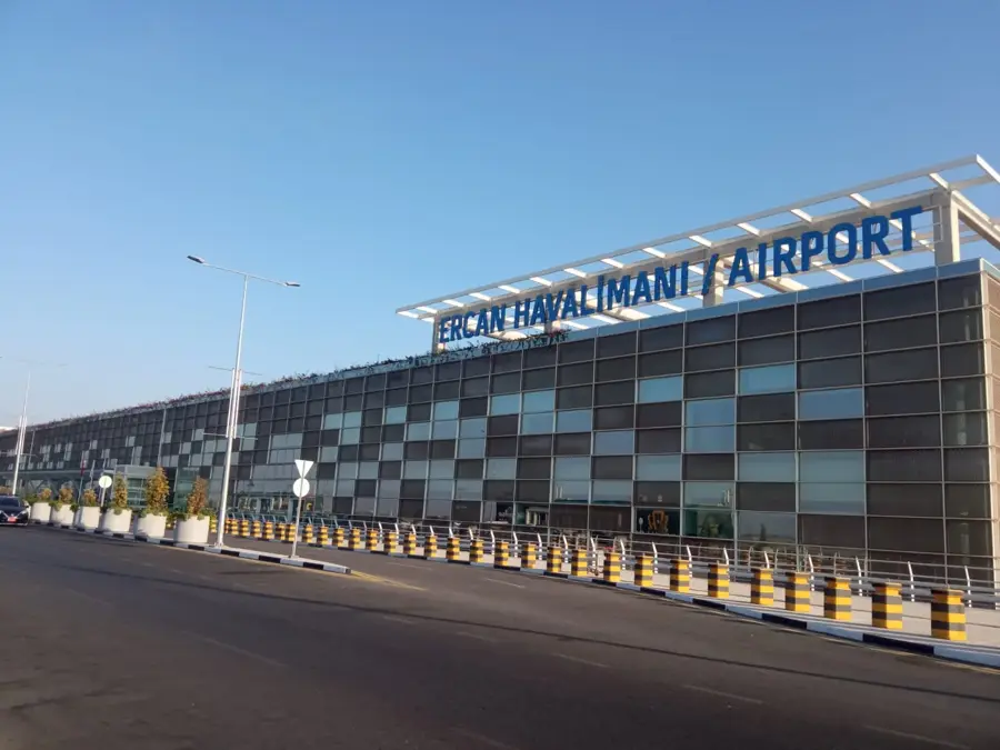
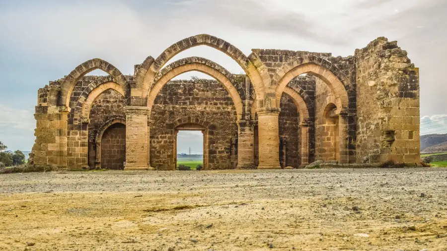
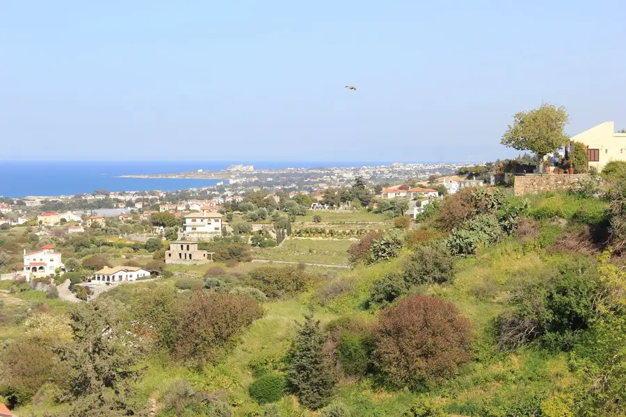
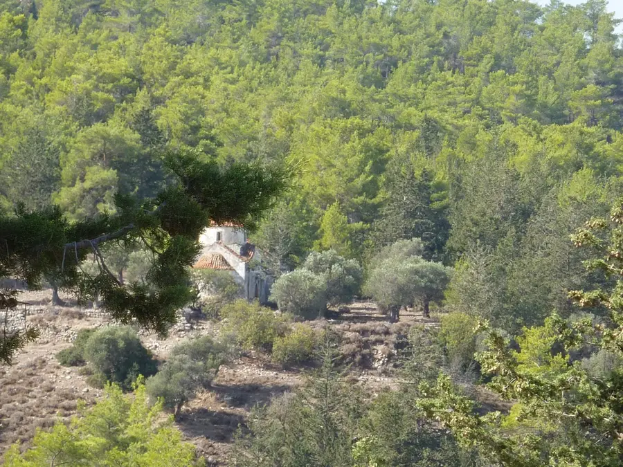
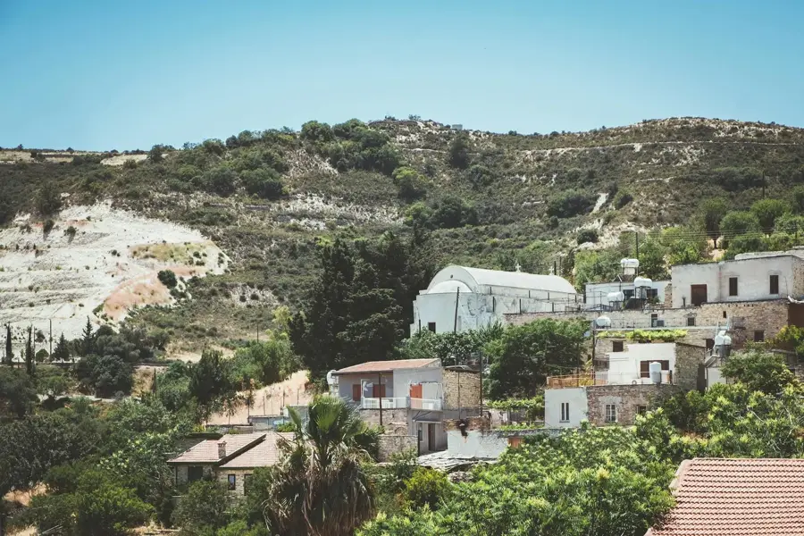
The Mesaoria Plain is the central lowland of Cyprus, stretching between the Troodos Mountains in the south and the Kyrenia Range in the north. It serves as the island's primary agricultural heartland and is often referred to as the 'granary of Cyprus' due to its extensive cereal production. Geologically, the plain consists of Neogene sedimentary deposits that emerged as the sea receded between the rising mountain ranges. The region experiences a more continental climate than the coast, with high summer temperatures and cooler winters. Historically, it has been a center of civilization, housing the capital city of Nicosia and the ancient ruins of Salamis near the eastern coast. Water management is a critical issue in the plain, necessitating reliance on irrigation and reservoirs for sustainable farming. The flat topography has historically facilitated movement across the island and remains the main corridor for transportation and urban development.
- Location: Cyprus
- Nearby: Kaimakli (13 km)
Best time to visit & climate
The most pleasant time to visit is Apr, May, Nov.
| Jan | Feb | Mar | Apr | May | Jun | Jul | Aug | Sep | Oct | Nov | Dec | |
|---|---|---|---|---|---|---|---|---|---|---|---|---|
| Avg °C | 14 | 14 | 16 | 19 | 23 | 27 | 30 | 30 | 28 | 24 | 20 | 16 |
| Rain mm | 72 | 42 | 23 | 13 | 9 | 2 | 1 | 1 | 6 | 15 | 30 | 71 |
📋 Practical info
Geography
Facts
- The plain measures approximately 65 kilometers in length from west to east.
- Nicosia, the world's last divided capital, is situated in the Mesaoria.
- Most of the plain lies at an elevation of less than 100 meters.
- In ancient times, the area was densely forested before large-scale timber harvesting.
- The Pedieos River, the longest in Cyprus, flows through this central plain.
- Summer temperatures in the plain often exceed 40 degrees Celsius.
Explore nearby
Notable places around
Route planner — Car & Motorhome
Where do you start? We build the route here, with stops and country notes along the way.
© OpenStreetMap contributors · OpenRouteService
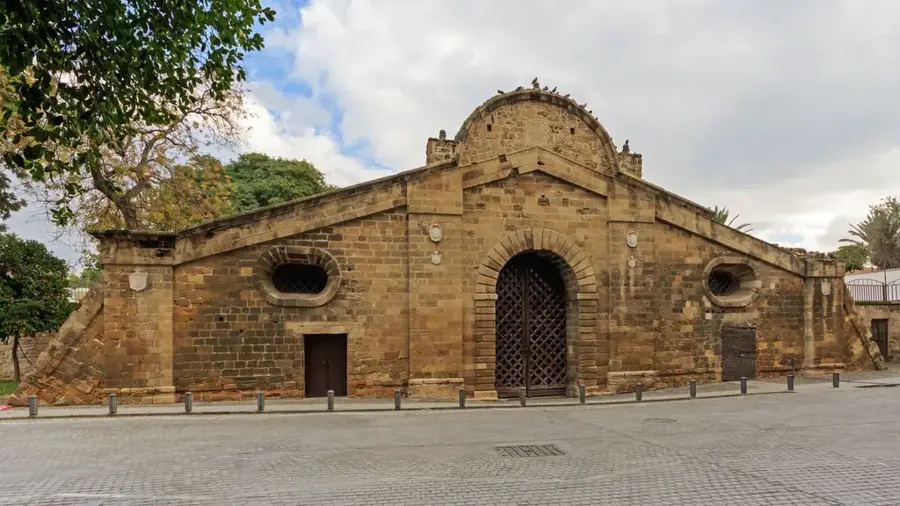
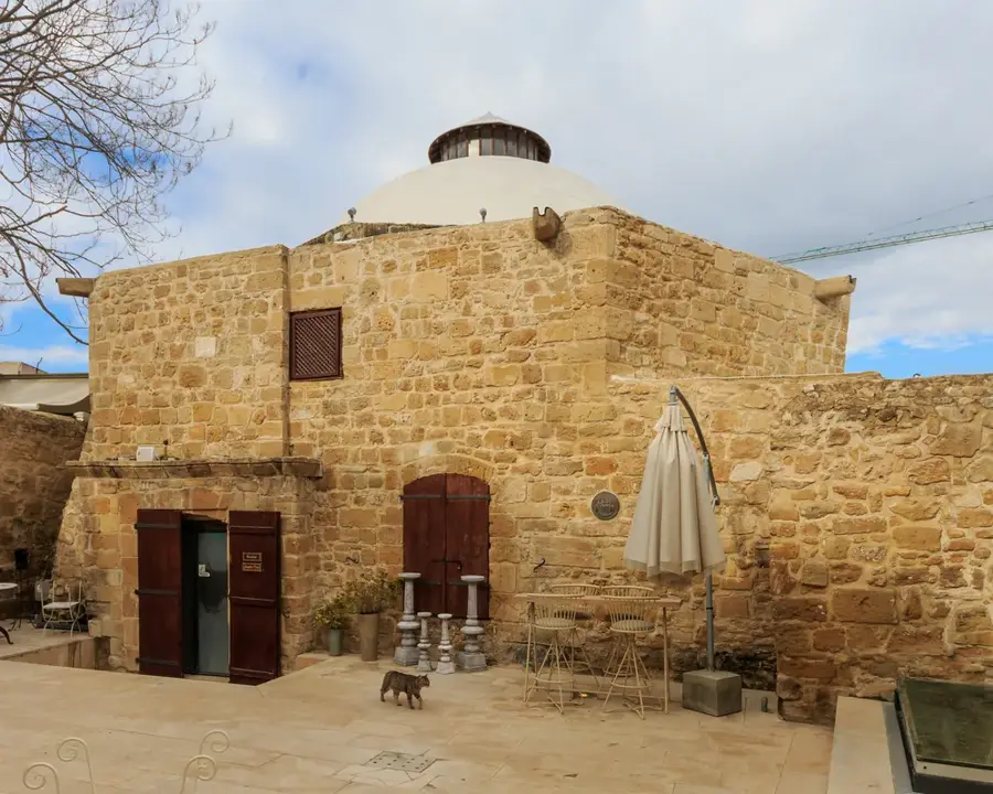
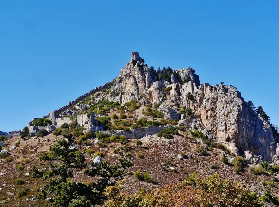
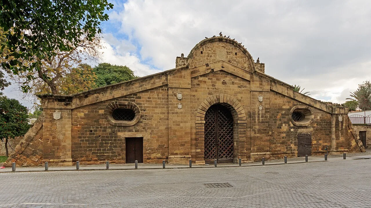
Sights in the town Mesarya Plain (1)
Sights nearby
Frequently asked questions
What is the Mesarya plain?
What is the land used for?
Is it very hot there in summer?
Are there historic cities there?
How does the landscape look in spring?
Mesarya Plain: where is it located?
Mesarya Plain: when is the best time to visit?
Mesarya Plain: why is it worth visiting?

Nearby cities
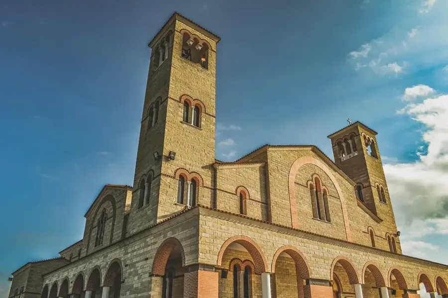
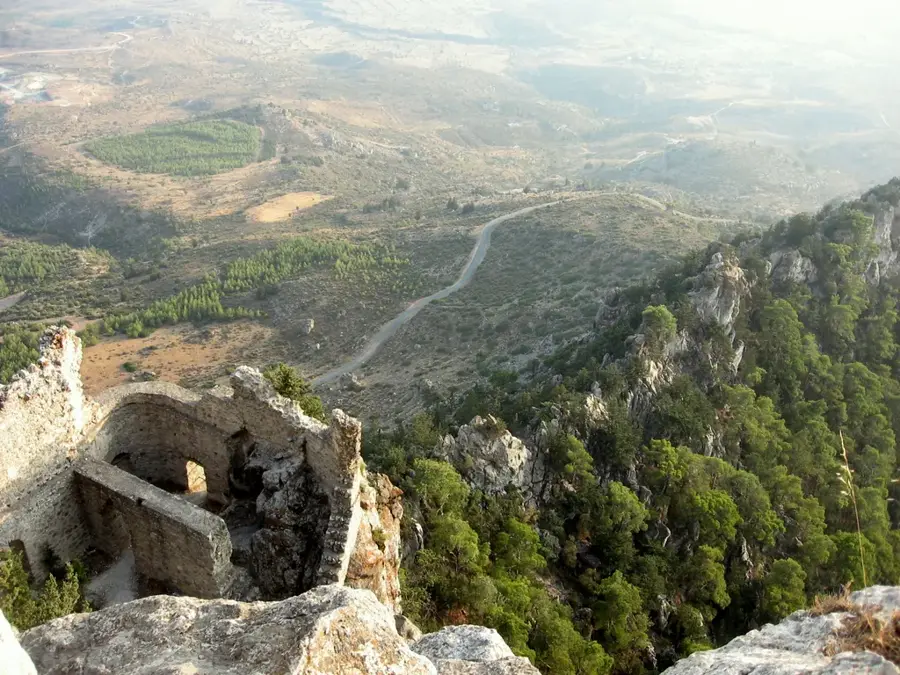
History & landmarks
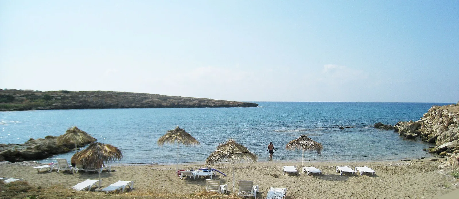
Nature
More places