Plizio Visual Lab
Gialias Valley

Weather…
Water temperature…
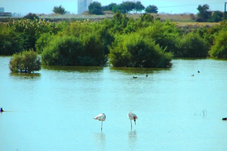
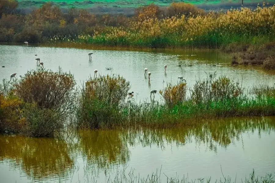
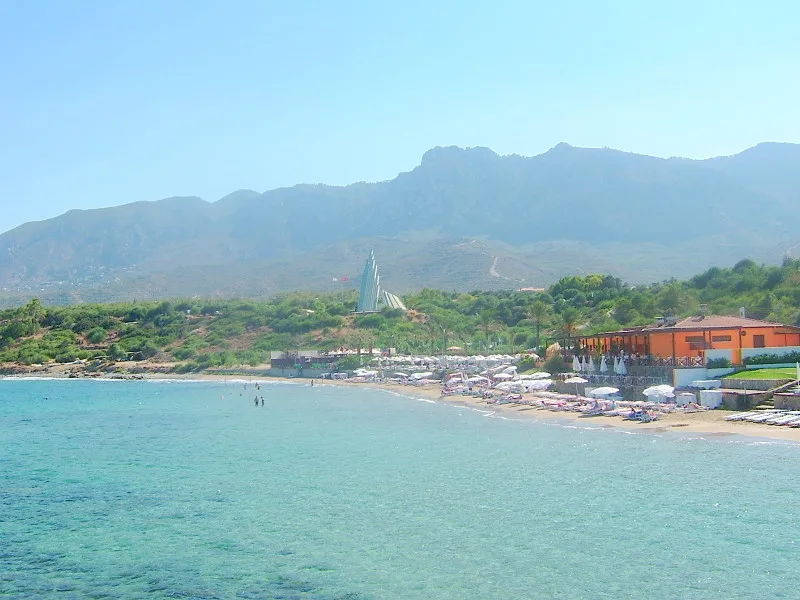
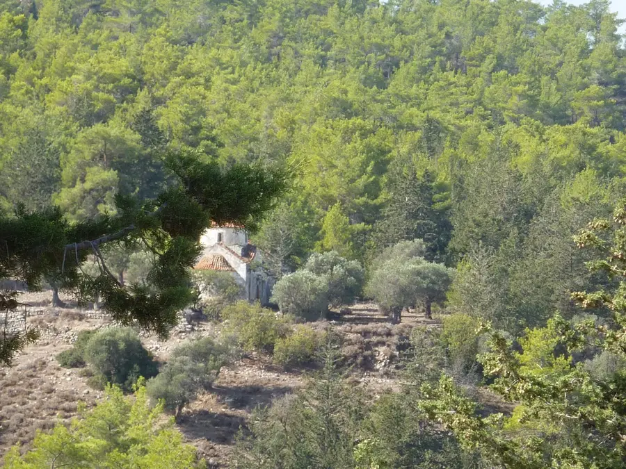
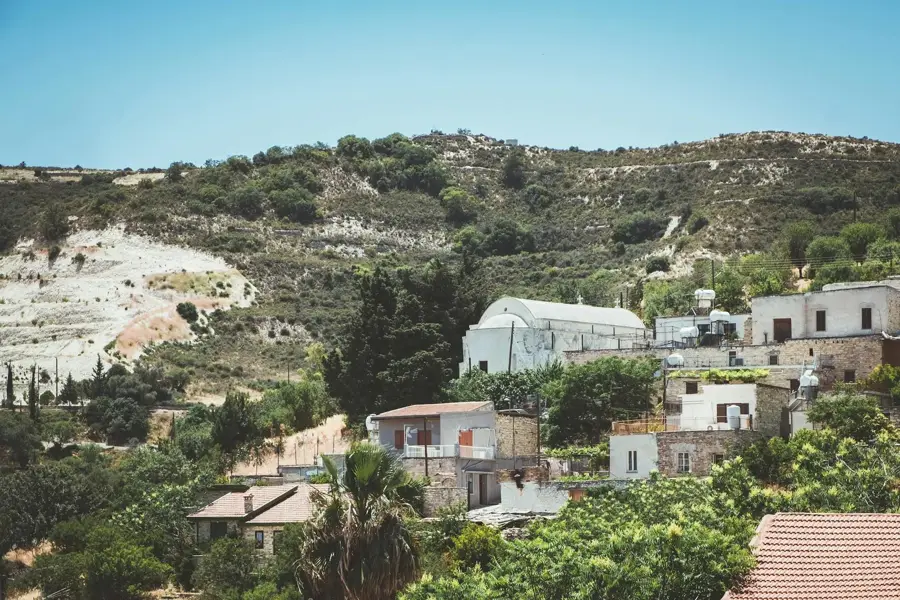
The Gialias Valley is home to the second-longest river in Cyprus, running parallel to the Pedieos Valley through the Mesaoria Plain. Originating in the eastern Troodos Mountains, the Gialias River flows eastward, providing essential water to the fertile agricultural lands south of Nicosia. The topography is defined by broad, flat alluvial terraces that have been traditionally used for cultivating wheat, barley, and olives for centuries. Historically, the valley is intimately linked with the ancient city-kingdom of Idalion (modern-day Dali), which served as one of the island's most significant administrative and religious hubs. Archaeological excavations in the valley have revealed continuous human habitation since the Late Bronze Age. While the river remains dry for most of the year, it carries substantial volumes during heavy winter rains, which are collected in local reservoirs. The valley plays a vital role in recharging the central plain's aquifers and acts as an important migratory corridor for various bird species.
- Location: Cyprus
- Nearby: Larnaca (14 km)
Best time to visit & climate
The most pleasant time to visit is Apr, May, Nov.
| Jan | Feb | Mar | Apr | May | Jun | Jul | Aug | Sep | Oct | Nov | Dec | |
|---|---|---|---|---|---|---|---|---|---|---|---|---|
| Avg °C | 14 | 14 | 16 | 19 | 23 | 27 | 30 | 30 | 28 | 24 | 20 | 16 |
| Rain mm | 72 | 42 | 23 | 13 | 9 | 2 | 1 | 1 | 6 | 15 | 30 | 71 |
📋 Practical info
Geography
Facts
- The Gialias River has a total length of approximately 88 kilometers.
- Ancient Idalion in the valley was famous for its major sanctuaries of Aphrodite.
- The valley provides significant deposits of limestone for local industry.
- The Gialias Dam was constructed to manage seasonal floods and irrigation.
- The famous 'Idalion Bronze Tablet' was discovered by archaeologists here.
- The valley serves as a key resting ground for the European Bee-eater.
Explore nearby
Notable places around
Route planner — Car & Motorhome
Where do you start? We build the route here, with stops and country notes along the way.
© OpenStreetMap contributors · OpenRouteService
Sights in the town Gialias Valley (1)
Sights nearby
Frequently asked questions
How long is the Gialias River?
What is the water used for?
Are there archaeological sites in the valley?
Can you go for walks in the valley?
When does the river carry the most water?
Gialias Valley: where is it located?
Gialias Valley: when is the best time to visit?
Gialias Valley: why is it worth visiting?

Nearby cities

History & landmarks

More places