Plizio Visual Lab
Larnaca Lowlands
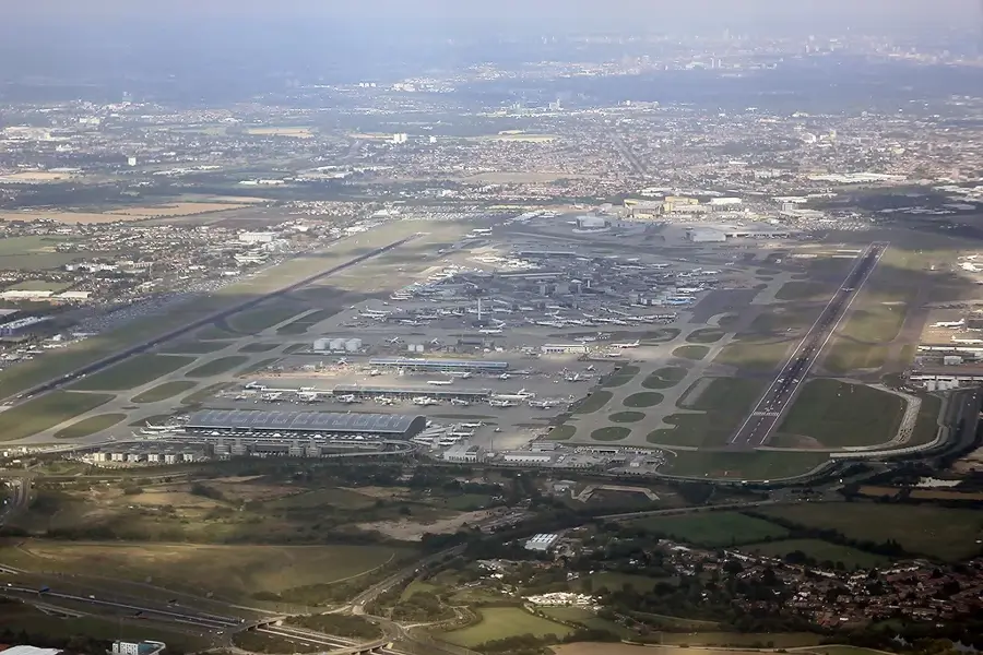
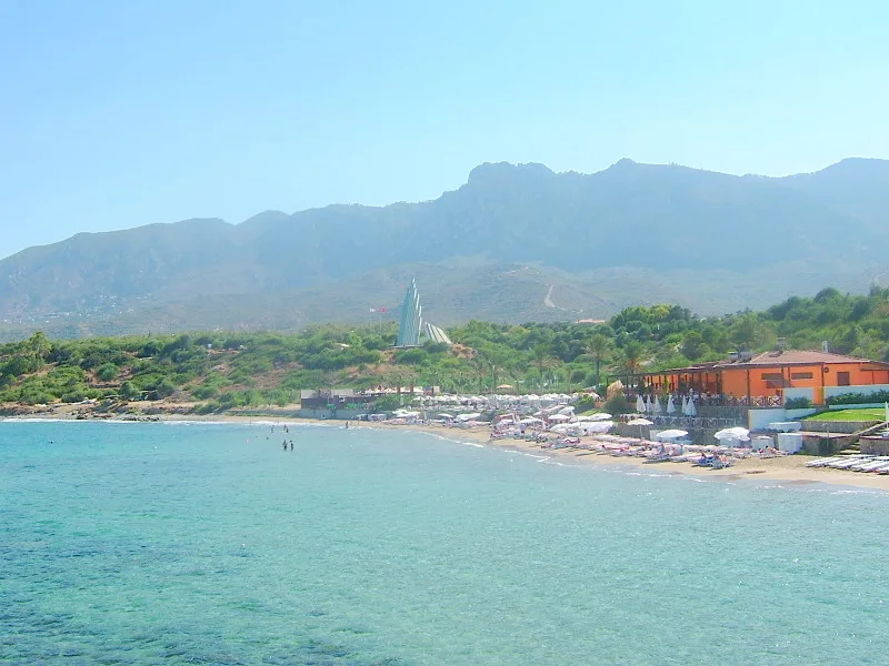
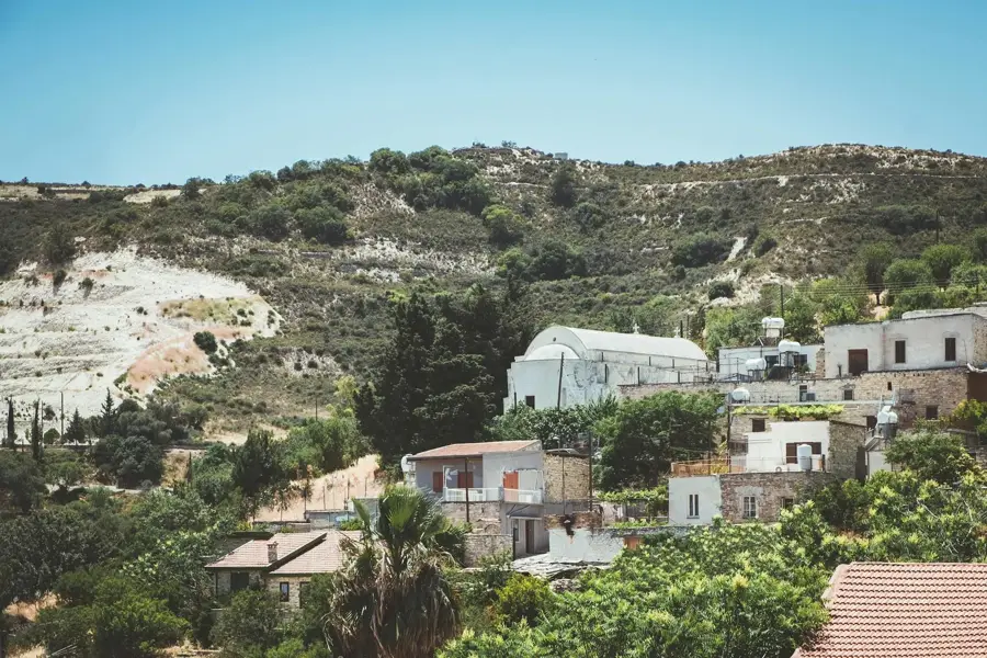
The Larnaca Lowlands are situated on the southeastern coast of Cyprus, encompassing the coastal plains around the eponymous city. Geographically, the region is characterized by flat sedimentary soils and the Larnaca Salt Lake, which represents a significant wetland habitat. Historically, this area was the center of the ancient city-kingdom of Kition, which functioned as an important trading hub as early as the 13th century BCE. The lowlands play a central role in the island's modern infrastructure, hosting the primary international airport and major transportation links. Ecologically, the salt lake is of paramount relevance, serving as a resting place for thousands of flamingos during the winter. The vegetation is characterized by dry steppe landscapes and agricultural lands used for grains and vegetables. Culturally, the region is known for the Hala Sultan Tekke, one of the holiest sites in Islam, located directly on the lakeshore. Despite increasing urbanization, large parts of the lowlands maintain their agricultural character.
- Location: Cyprus
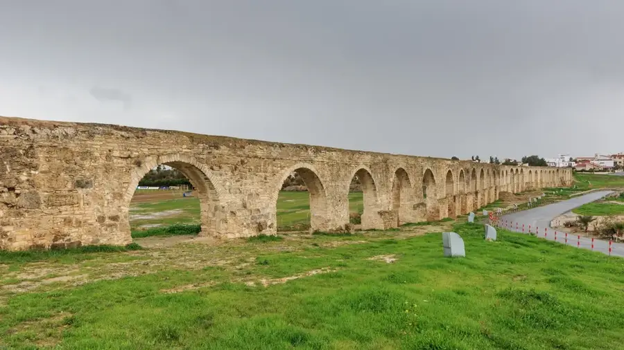
- Top sights: Kamares (Bekir Pasha) Aqueduct · Hala Sultan Tekke Excavation Site · Larnaca Salt lake
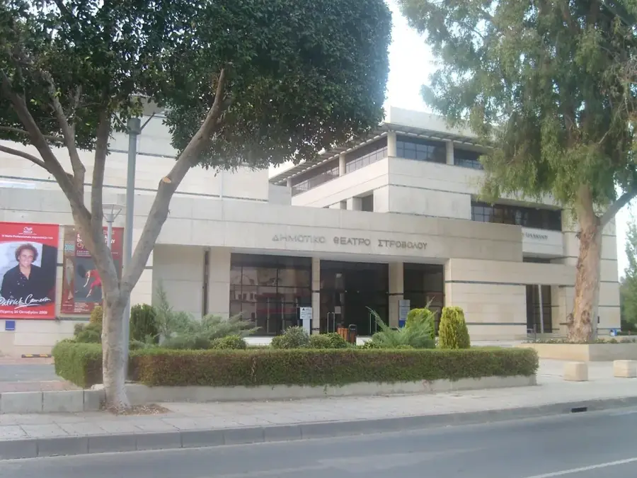
- Nearby: Latsia (32 km)
Best time to visit & climate
The most pleasant time to visit is Apr, May, Nov.
| Jan | Feb | Mar | Apr | May | Jun | Jul | Aug | Sep | Oct | Nov | Dec | |
|---|---|---|---|---|---|---|---|---|---|---|---|---|
| Avg °C | 14 | 14 | 16 | 19 | 23 | 27 | 30 | 30 | 28 | 24 | 20 | 16 |
| Rain mm | 72 | 42 | 23 | 13 | 9 | 2 | 1 | 1 | 6 | 15 | 30 | 71 |
📋 Practical info
Geography
Facts
- The salt lake network covers a total area of approximately 1,761 hectares.
- Up to 12,000 flamingos winter in the salt lake area annually.
- Ancient Kition was founded in the 13th century BCE by Mycenaean Greeks.
- The Hala Sultan Tekke is considered the fourth holiest site in the Muslim world.
- The Kamares Aqueduct supplied the city with water until 1939.
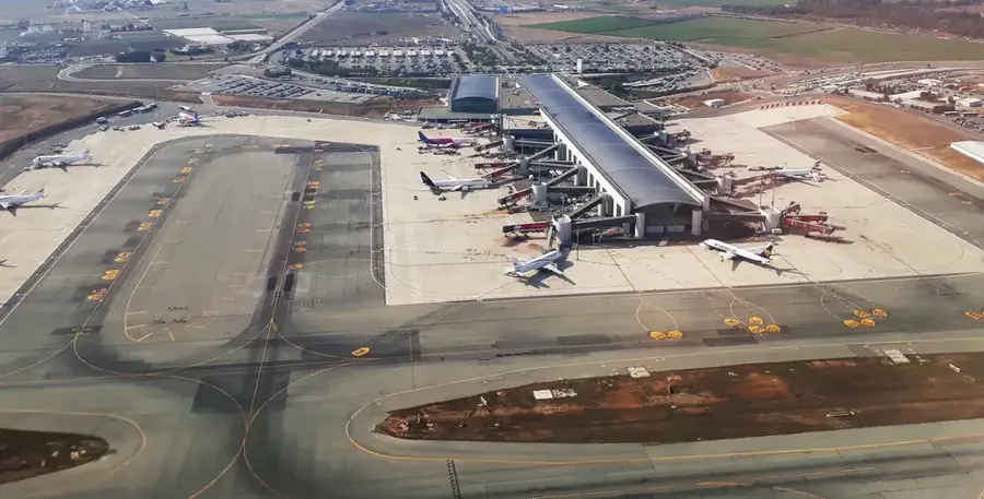
- Larnaca International Airport was opened in 1975 on the site of a former military airfield.
Explore nearby
Notable places around
Route planner — Car & Motorhome
Where do you start? We build the route here, with stops and country notes along the way.
© OpenStreetMap contributors · OpenRouteService
Sights in the town Larnaca Lowlands (10)
Hala Sultan Tekke Mosque
Mosque by the salt lake, part of the Hala Sultan Tekke complex, with minaret and prayer hall.
Salt Lake Viewpoint
Viewpoint overlooking the salt lake and Hala Sultan Tekke mosque.
Alykes Larnakas
Protected wetland around the salt lake, habitat for water birds and rare plants.
Pattichion Amphitheater
Open-air theatre with stone benches, used for concerts and performances.
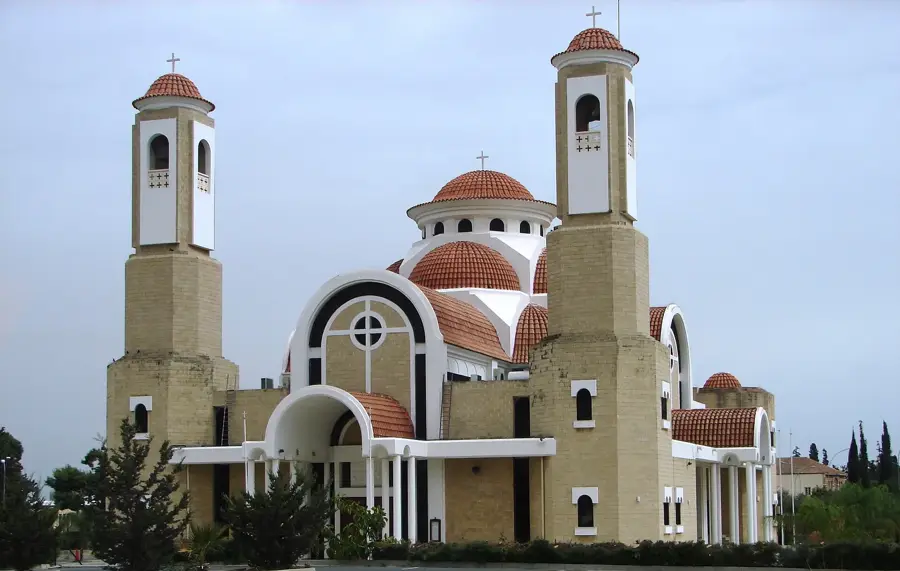
Panagia Faneromeni New Church
Orthodox church in Larnaca, built in the 19th century, with iconostasis and bell tower.
Public Amphitheater of Dromolaksia
Public amphitheatre in Dromolaksia, stone seating, used for events.
Sights nearby
Frequently asked questions
What role does the Larnaca Salt Lake play?
Are there significant religious sites?
What is the terrain like?
Can you visit the salt lake in summer?
Are there hiking trails there?
Larnaca Lowlands: where is it located?
Larnaca Lowlands: what is there to see?
Larnaca Lowlands: when is the best time to visit?
Larnaca Lowlands: why is it worth visiting?

Nearby cities
History & landmarks
More places