Plizio Visual Lab
Orinoco River
Weather…
Water temperature…
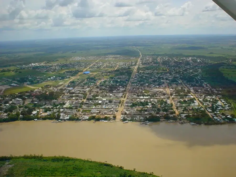
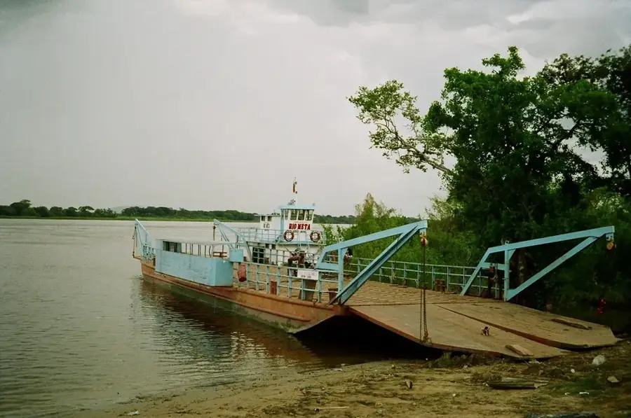
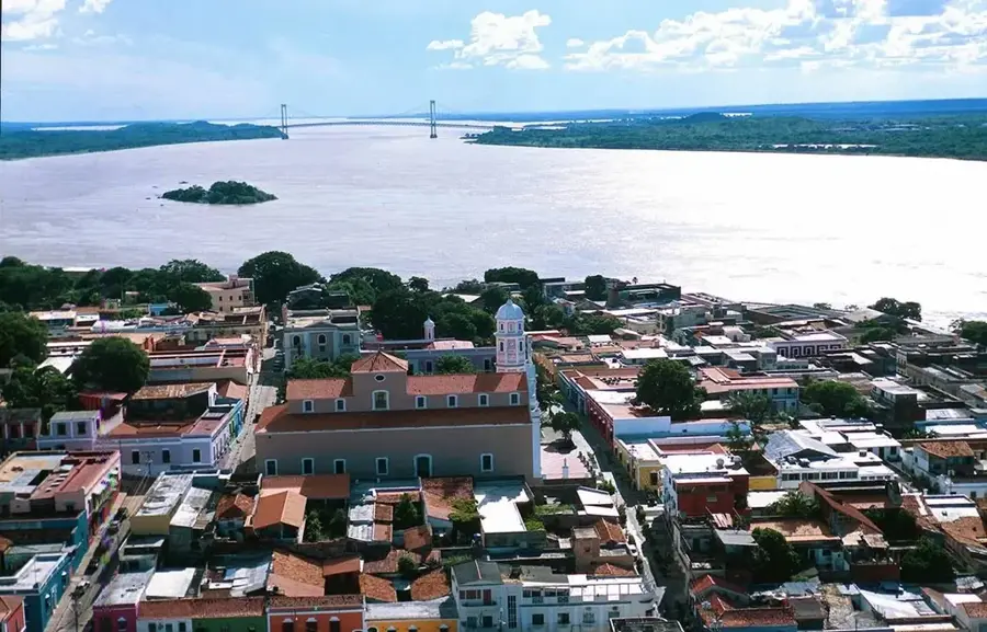
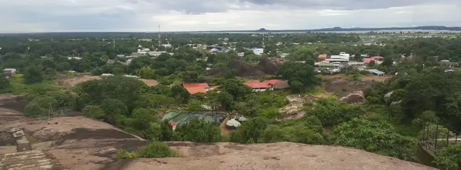
The Orinoco is one of South America's longest rivers, defining a 250-kilometer stretch of the natural border between Colombia and Venezuela. Its massive drainage basin encompasses the vast plains of the Llanos, an ecosystem renowned for its seasonal floods and diverse wildlife. Originating in the Parima Mountains of Venezuela, the river flows in a grand arc northeast toward the Atlantic Ocean. In Colombian territory, it is fed by major tributaries like the Meta, Guaviare, and Vichada rivers, which contribute significant water volume and sediment. Historically, the Orinoco served as a vital corridor for continental exploration and currently acts as a crucial commercial artery for Colombia's sparsely populated eastern departments. The Orinoco basin is a critical habitat for several endangered species, including the Orinoco crocodile and the giant otter. While the region's economic importance is rising due to oil exploration and agricultural expansion, these activities pose significant challenges to the preservation of its fragile riparian environments.
Best time to visit & climate
The most pleasant time to visit is Jan, Feb, Dec.
| Jan | Feb | Mar | Apr | May | Jun | Jul | Aug | Sep | Oct | Nov | Dec | |
|---|---|---|---|---|---|---|---|---|---|---|---|---|
| Avg °C | 27 | 29 | 29 | 28 | 26 | 25 | 25 | 25 | 26 | 26 | 26 | 26 |
| Rain mm | 14 | 16 | 57 | 151 | 273 | 351 | 351 | 259 | 179 | 131 | 105 | 40 |
📋 Practical info
Geography
Facts
- With a length of about 2,140 km, it is one of the longest rivers in South America.
- Its drainage basin covers an area of nearly 1 million square kilometers.
- The Orinoco crocodile is among the most critically endangered crocodilians globally.
- Alexander von Humboldt conducted scientific explorations of the Orinoco in 1800.
- The river discharges into the Atlantic via a massive delta of roughly 22,500 km².
- The Guaviare river is the largest Colombian tributary of the Orinoco by volume.
Explore nearby
Notable places around
Route planner — Car & Motorhome
Where do you start? We build the route here, with stops and country notes along the way.
© OpenStreetMap contributors · OpenRouteService
Sights in the town Orinoco River (1)
Sights nearby
Frequently asked questions
How long is the Orinoco?
Are there pink dolphins?
Is the river navigable?
When is the best time to visit?
What fish live there?
Orinoco River: where is it located?
Orinoco River: when is the best time to visit?
Orinoco River: why is it worth visiting?

Nearby cities
Nature