Plizio Visual Lab
Percé
ℹ️Practical info — Percé
▾
🌤 Weather — 5 days
📍 Nearby
Sights nearby
Water temperature…
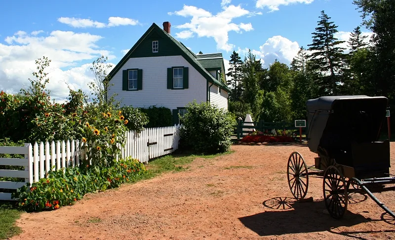
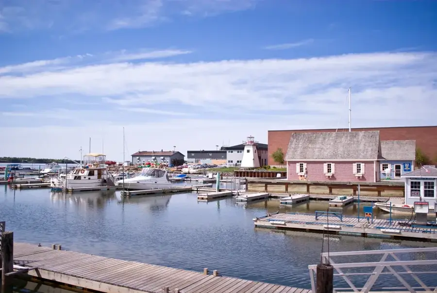
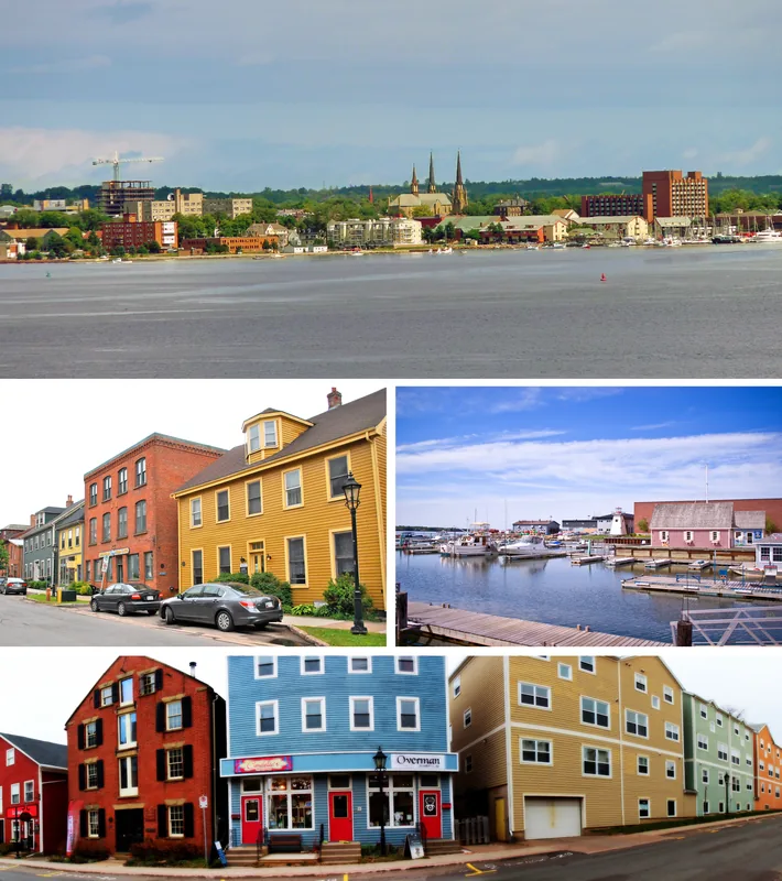
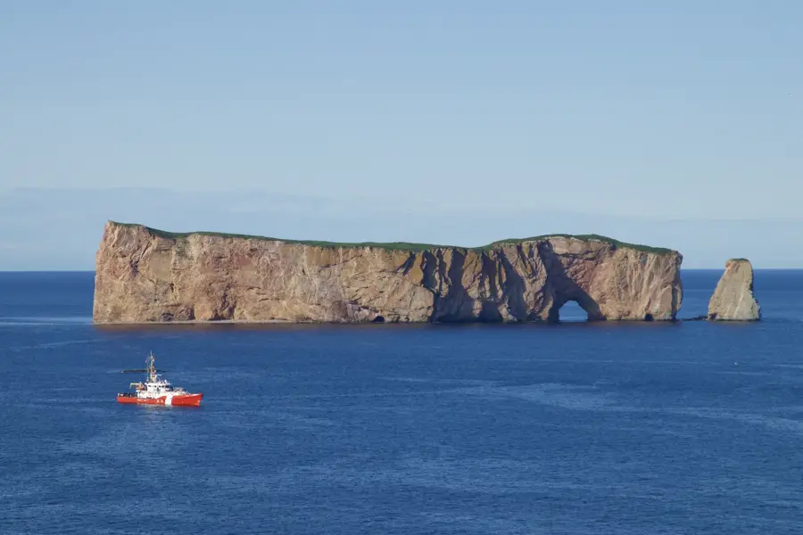
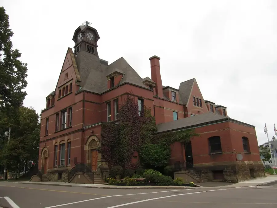
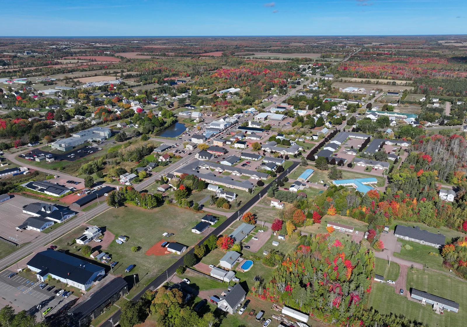
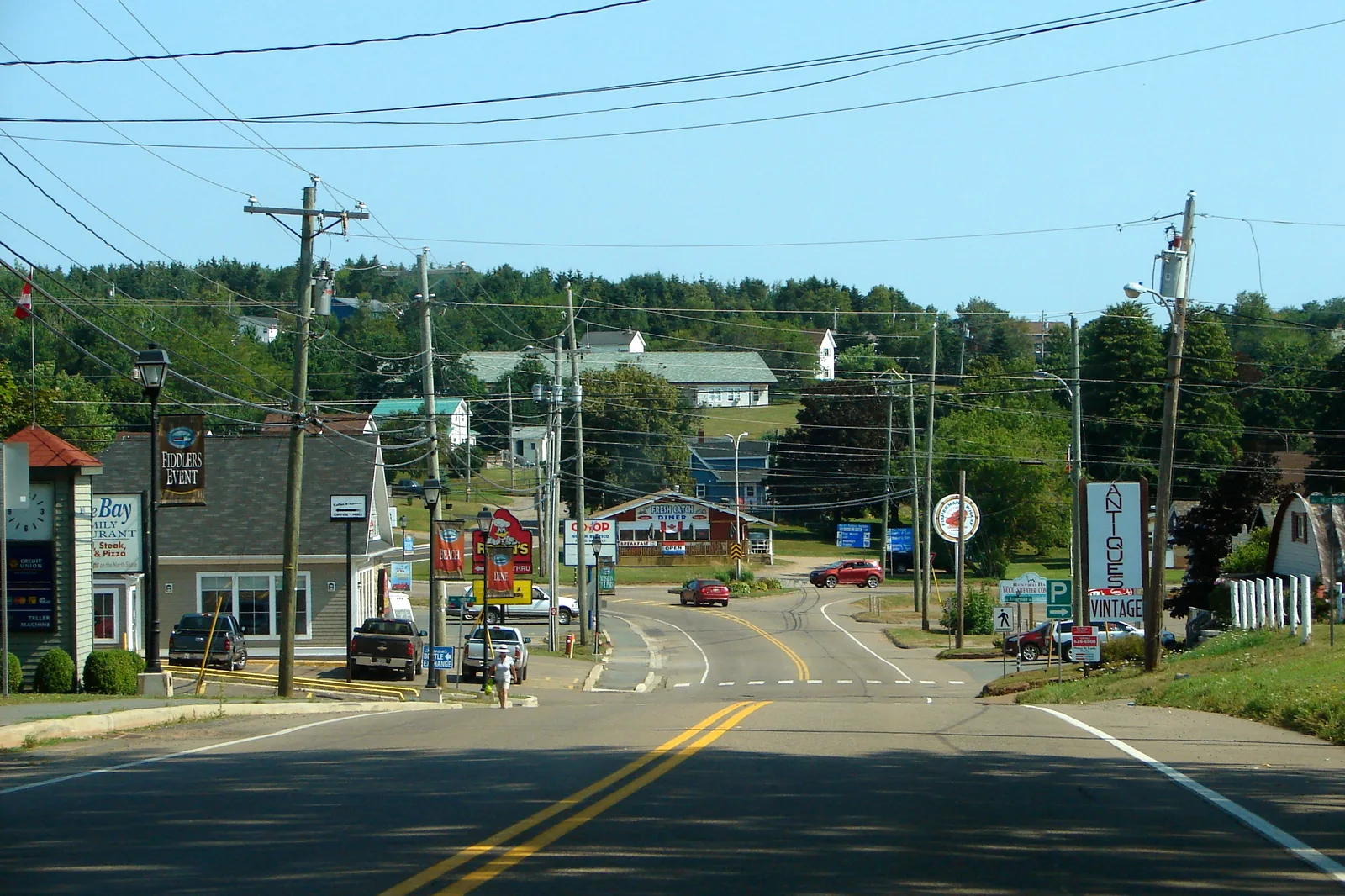
The fishing village of Percé, positioned at the easternmost tip of the Gaspé Peninsula in Québec, remains one of Canada's most recognizable coastal communities. The defining feature of the region is Rocher Percé, a 433-meter-long and 88-meter-high limestone monolith famous for its massive natural arch. During strong low tides, a sandbar is exposed, allowing visitors to walk directly to the base of the rock formation, provided they strictly monitor the returning tidal schedule. The village itself stretches along a hillside bordered by the coastal highway, comprising brightly painted wooden houses, art galleries, and restaurants specializing in regional seafood. A few kilometers offshore lies the Parc national de l'Île-Bonaventure-et-du-Rocher-Percé. Bonaventure Island is an essential bird sanctuary, supporting a breeding colony of over 100,000 Northern Gannets from May to October. Excursion boats shuttle visitors to the island, where trails lead remarkably close to the nesting birds. Percé possesses a long history rooted in the cod fishing industry, evident in historic structures like the Charles Robin warehouse. The active tourism season is relatively short, heavily focused on the brief summer months when weather conditions are most stable. Reaching Percé requires a significant journey; driving from Québec City along the winding Route 132 takes around eight to nine hours to trace the peninsula's coastline.
- Location: Canada
- Top sights: Mont Sainte-Anne · Belvédère du Nid de Corbeau · Nid d'aigle
- Nearby: Barachois (8 km)
- Population: ~3.095 (2025)
Geography
Facts
- Home to the 433-meter-long Rocher Percé
- Located at the very tip of the Gaspé Peninsula
- The rock's natural archway is 15 meters high
- Bonaventure Island hosts massive Northern Gannet colonies
- Traditionally operated as a major cod fishing center
- An eight-hour scenic drive from Québec City
- The name translates from French as 'pierced rock'
- The rock is accessible on foot during low tide
Explore nearby
Notable places around
Route planner — Car & Motorhome
Where do you start? We build the route here, with stops and country notes along the way.
© OpenStreetMap contributors · OpenRouteService
Sights in the town Percé (6)
Frequently asked questions
Percé: where is it located?
Percé: what is there to see?
Percé: why is it worth visiting?

Nearby cities
History & landmarks
More places