Plizio Visual Lab
Manitoulin Island
ℹ️Practical info — Manitoulin Island
▾
🌤 Weather — 5 days
📍 Nearby
Sights nearby
Water temperature…
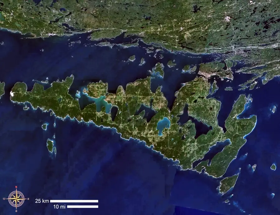
Manitoulin Island stretches across the northern part of Lake Huron and holds the title of the world's largest freshwater island. The area provides a unique blend of rugged natural landscapes and deeply rooted indigenous history. Six Anishinaabe communities reside here, sharing their heritage through cultural experiences along the Great Spirit Circle Trail. The geography features dense forests, limestone cliffs, and more than a hundred inland lakes. Top attractions include the Bridal Veil Falls near Kagawong, an 11-meter cascade where visitors can walk behind the curtain of water. Hikers frequent the Cup and Saucer Trail, which traverses the Niagara Escarpment and provides sweeping panoramic views over the treetops and lakes. The island also contains Lake Manitou, the largest lake within a freshwater island in the world. During the summer, most visitors arrive via the MS Chi-Cheemaun, a large passenger and car ferry departing from Tobermory. Alternatively, the island can be accessed year-round by a historic swing bridge at Little Current in the north. The best time to visit is from June through September, when the weather is warm, ferry services are in full operation, and traditional indigenous powwows take place.
- Location: Canada
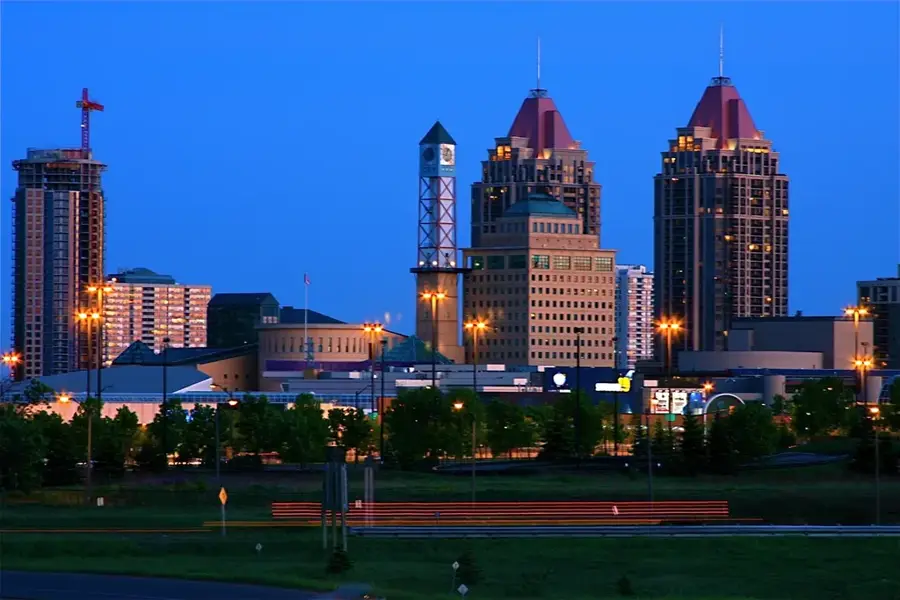
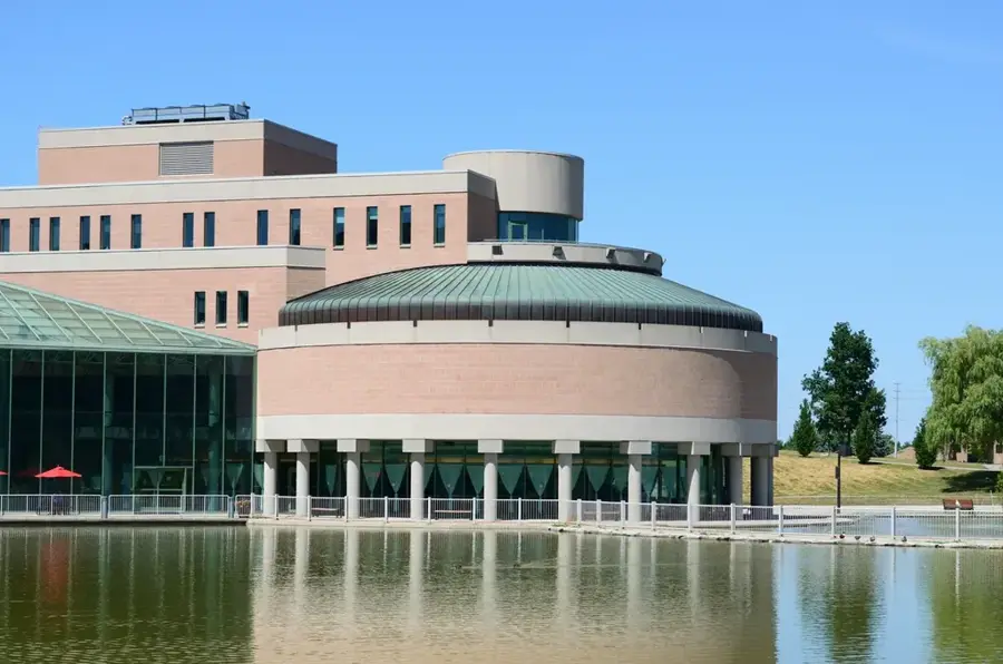
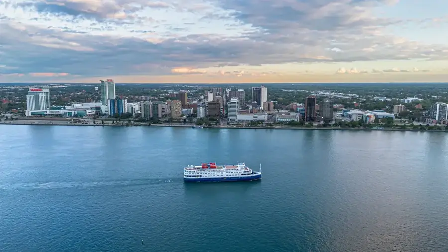
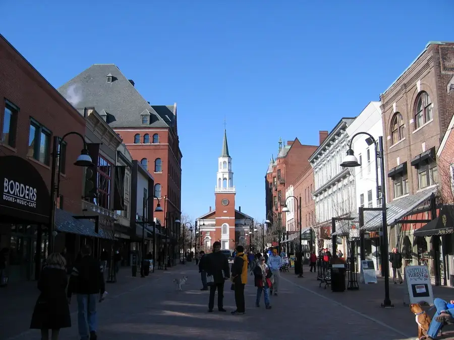
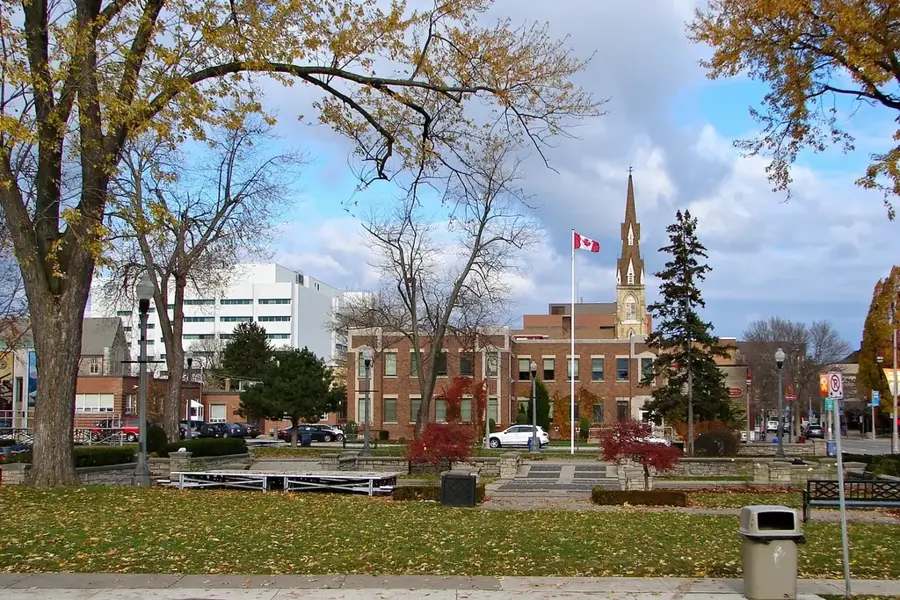
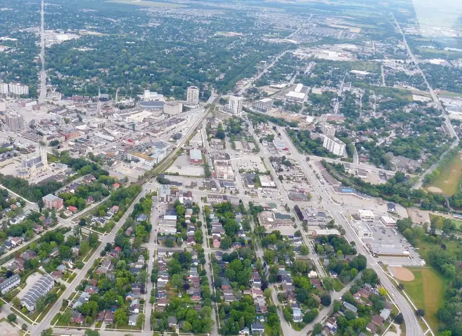
- Nearby: Sarnia (45 km)
Best time to visit & climate
The most pleasant time to visit is Jul–Sep.
| Jan | Feb | Mar | Apr | May | Jun | Jul | Aug | Sep | Oct | Nov | Dec | |
|---|---|---|---|---|---|---|---|---|---|---|---|---|
| Avg °C | -7 | -8 | -3 | 3 | 8 | 14 | 19 | 19 | 16 | 9 | 3 | -3 |
| Rain mm | 44 | 38 | 42 | 67 | 66 | 69 | 64 | 74 | 67 | 85 | 60 | 58 |
Geography
Facts
- World's largest freshwater island
- Located in Canada's Lake Huron
- Covers 2,766 square kilometers
- Contains over 100 inland lakes
- Lake Manitou is the largest lake
- Bridal Veil Falls is 11 meters high
- Accessed via ferry from Tobermory
- Home to 6 Anishinaabe communities
Explore nearby
Notable places around
Route planner — Car & Motorhome
Where do you start? We build the route here, with stops and country notes along the way.
© OpenStreetMap contributors · OpenRouteService
Frequently asked questions
Manitoulin Island: where is it located?
Manitoulin Island: when is the best time to visit?
Manitoulin Island: why is it worth visiting?

Nearby cities