Plizio Visual Lab
Tocantins River
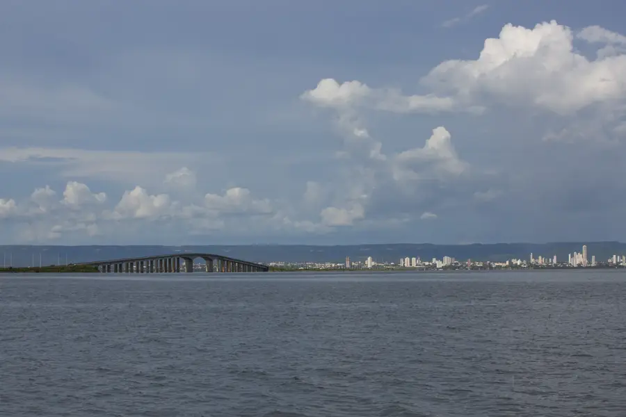
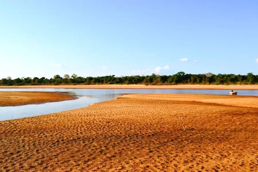
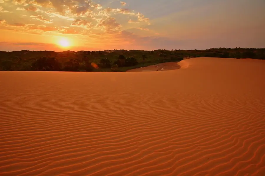
The Tocantins River is a major waterway in central Brazil, spanning approximately 2,450 kilometers in length. It rises in the state of Goiás and flows northward until it empties into the Atlantic Ocean near Marajó Island. Although often associated with the Amazon, it technically belongs to a separate drainage system, though its mouth is adjacent to the Amazon delta. The river is home to the Tucuruí Dam, one of the largest hydroelectric plants in the world, supplying power to regional industries and cities. The surrounding vegetation transitions from the Cerrado savanna in the south to the tropical rainforest in the north. Navigation is hindered on several stretches by rapids and sedimentation. Despite this, it remains a vital resource for local populations who rely on fishing and agriculture in the fertile floodplains. Seasonal water level changes can reach up to ten meters, periodically reshaping the riverbank landscapes.
Best time to visit & climate
The most pleasant time to visit is Jun–Aug.
| Jan | Feb | Mar | Apr | May | Jun | Jul | Aug | Sep | Oct | Nov | Dec | |
|---|---|---|---|---|---|---|---|---|---|---|---|---|
| Avg °C | 26 | 25 | 25 | 25 | 25 | 24 | 25 | 27 | 30 | 29 | 27 | 26 |
| Rain mm | 274 | 252 | 262 | 169 | 61 | 10 | 1 | 5 | 40 | 127 | 197 | 237 |
📋 Practical info
Geography
Facts
- The total length of the river is approximately 2,450 km.
- The Tucuruí Dam was officially inaugurated in 1984.
- Its drainage basin covers an area of about 764,183 square km.
- The river flows through Goiás, Tocantins, Maranhão, and Pará states.
- The Araguaia River is its largest and most important tributary.
- The port of Belém is located near the river's mouth region.
Route planner — Car & Motorhome
Where do you start? We build the route here, with stops and country notes along the way.
© OpenStreetMap contributors · OpenRouteService
Sights nearby
Frequently asked questions
Where does the Rio Tocantins empty?
Are there dams on the Tocantins?
Does the Tocantins belong to the Amazon basin?
Which city is located on its banks?
Is the river interesting for tourists?
Tocantins River: where is it located?
Tocantins River: when is the best time to visit?
Tocantins River: why is it worth visiting?