Plizio Visual Lab
Bananal Island
Weather…
Water temperature…
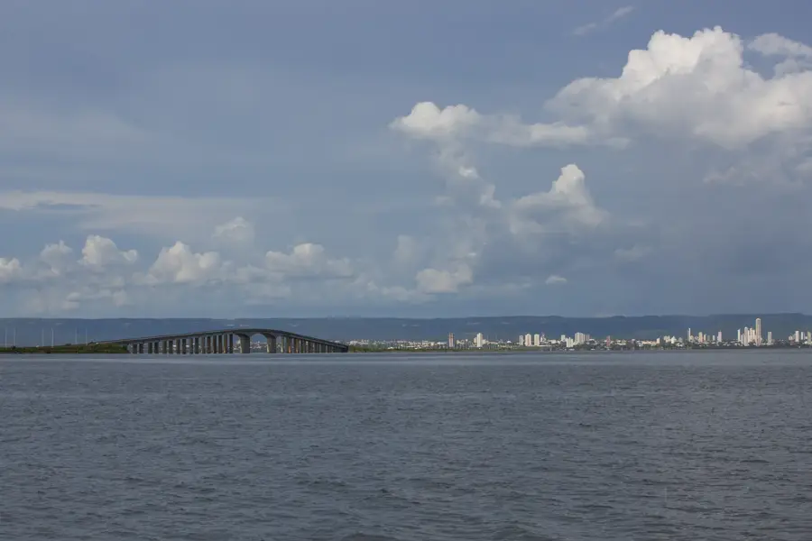
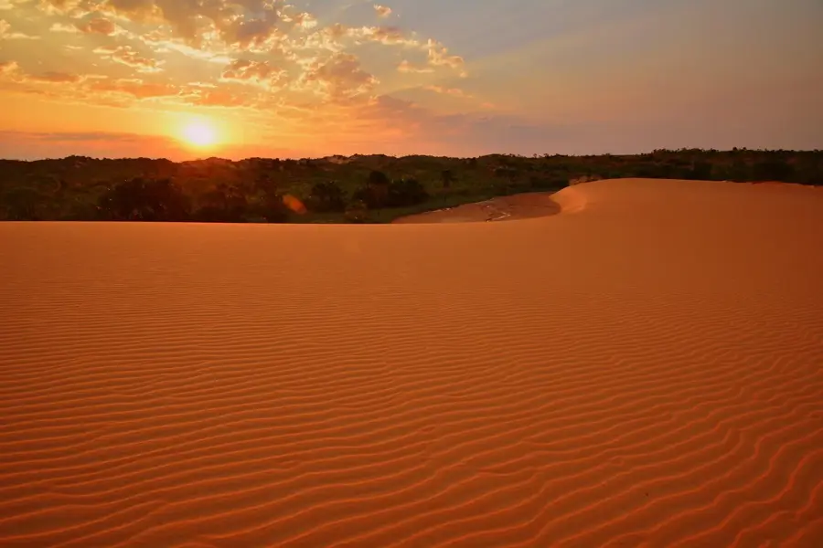
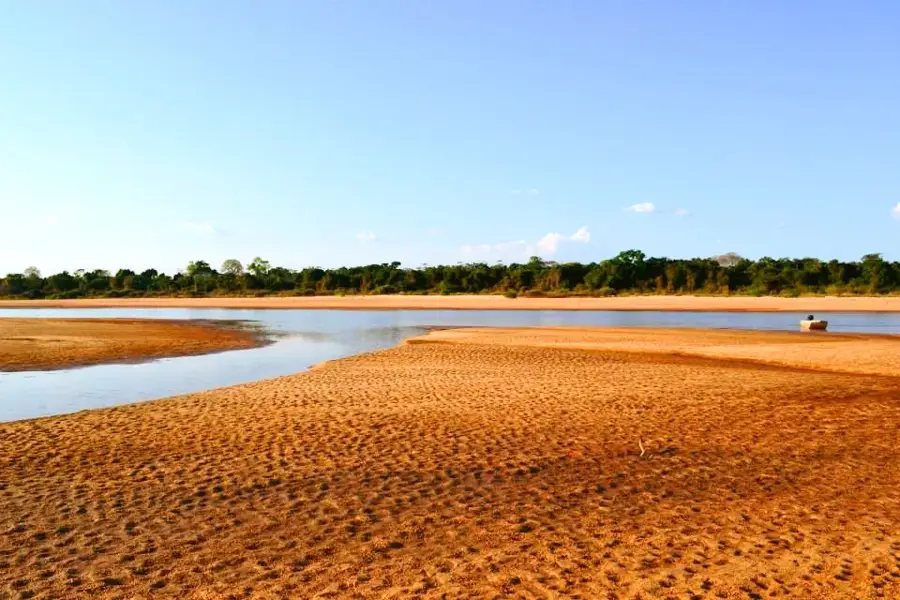
Bananal Island is located in the Brazilian state of Tocantins and is recognized as the world's largest fluvial island, covering an area of approximately 19,162 square kilometers. The island is formed by the bifurcation of the Araguaia River into two branches, the main Araguaia and the Javaés River, which rejoin further north. Geographically, it sits in a transition zone between the Amazon rainforest and the Cerrado savanna, resulting in exceptional biological diversity. A significant portion of the island is protected by the Araguaia National Park, established in 1959 to preserve the local flora and fauna. Beyond its ecological importance, the island hosts several indigenous territories where the Karajá and Javaé peoples live in legally protected areas. During the rainy season, large parts of the island are flooded, a process that is vital for the local ecosystem and acts as a natural water filter. Access to the island is strictly regulated to protect both the fragile environments and the cultural integrity of the indigenous communities.
Best time to visit & climate
The most pleasant time to visit is May–Jul.
| Jan | Feb | Mar | Apr | May | Jun | Jul | Aug | Sep | Oct | Nov | Dec | |
|---|---|---|---|---|---|---|---|---|---|---|---|---|
| Avg °C | 27 | 26 | 26 | 26 | 27 | 27 | 28 | 30 | 32 | 30 | 28 | 27 |
| Rain mm | 225 | 211 | 215 | 128 | 29 | 5 | 3 | 2 | 24 | 131 | 188 | 214 |
📋 Practical info
Geography
Facts
- The island covers an area of about 19,162 square kilometers.
- It is recognized as the largest fluvial island in the world.
- Araguaia National Park was established on December 31, 1959.
- The Araguaia and Javaés rivers completely encircle the island.
- Over 360 species of birds have been documented on the island.
- The Karajá and Javaé indigenous peoples inhabit the island.
Route planner — Car & Motorhome
Where do you start? We build the route here, with stops and country notes along the way.
© OpenStreetMap contributors · OpenRouteService
Sights nearby
Frequently asked questions
Where is Ilha do Bananal located?
Can you visit the island?
What animals can be seen there?
When is the best time to visit?
What should you bring?
Bananal Island: where is it located?
Bananal Island: when is the best time to visit?
Bananal Island: why is it worth visiting?