Plizio Visual Lab
Makgadikgadi Pans

Weather…
Water temperature…
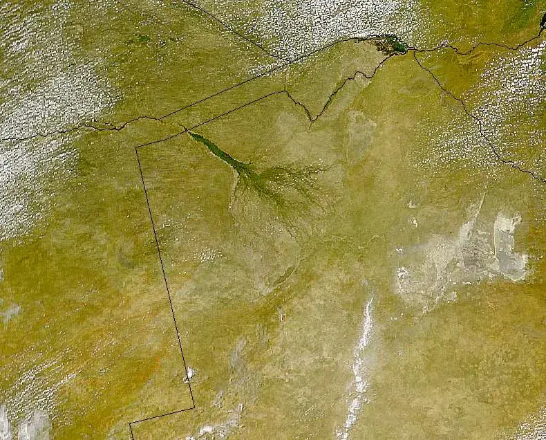
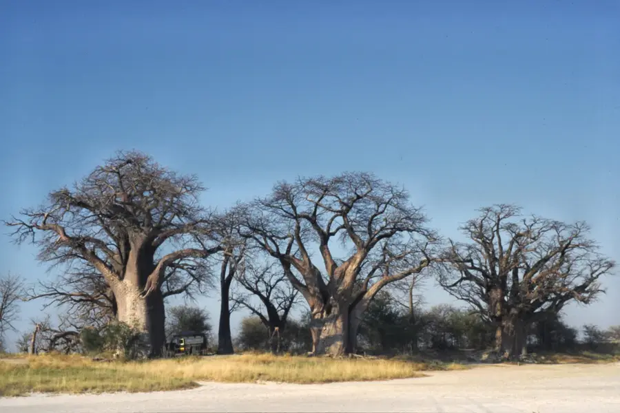
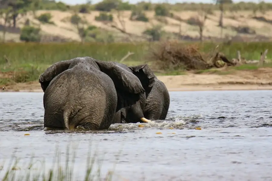
The Makgadikgadi Pans in northeastern Botswana are among the largest salt flats in the world, covering an area of over 16,000 square kilometers. They are the remnants of the once-colossal Lake Makgadikgadi, which dried up thousands of years ago, leaving behind a hostile, shimmering white crust of salt and clay. The landscape is extraordinarily flat, punctuated only occasionally by islands of ancient baobab trees, such as Baines' Baobabs. During the dry season, the area is characterized by eerie silence and intense heat, as strong winds whip dust devils across the vast expanse. With the onset of the rains, portions of the pans transform into shallow lakes that attract thousands of flamingos for breeding and become the destination for one of Africa's largest zebra and wildebeest migrations. Archaeological finds in the region indicate that Makgadikgadi was once a fertile area inhabited by early humans, evidenced by numerous stone tools. Today, the area is protected by national parks and provides visitors a unique sense of isolation and vastness under a brilliant starry sky. The geological history of the pans is closely linked to the tectonic shifting of the Okavango Rift, which altered regional water flow.
Best time to visit & climate
The most pleasant time to visit is May, Aug, Sep.
| Jan | Feb | Mar | Apr | May | Jun | Jul | Aug | Sep | Oct | Nov | Dec | |
|---|---|---|---|---|---|---|---|---|---|---|---|---|
| Avg °C | 28 | 27 | 26 | 24 | 20 | 17 | 16 | 20 | 24 | 28 | 29 | 28 |
| Rain mm | 100 | 96 | 59 | 23 | 2 | 4 | 0 | 0 | 3 | 16 | 49 | 91 |
📋 Practical info
Geography
Facts
- The pans primarily consist of two large basins: Ntwetwe Pan and Sua Pan.
- The ancient Lake Makgadikgadi once covered up to 80,000 square kilometers.
- Sua Pan hosts a massive breeding colony for Lesser and Greater Flamingos.
- Baines' Baobabs were made famous in 1862 by the explorer and artist Thomas Baines.
- The region is regarded as a critical area for research into the origins of modern humans.
- During the rainy season, over 25,000 zebras migrate across the pan landscape.
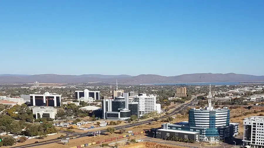
Explore nearby
Notable places around
Route planner — Car & Motorhome
Where do you start? We build the route here, with stops and country notes along the way.
© OpenStreetMap contributors · OpenRouteService
Sights nearby
Frequently asked questions
What are the Makgadikgadi Pans?
Can you drive on the salt pans?
What is Kubu Island?
What does it look like in the rainy season?
Are there accommodations nearby?
Makgadikgadi Pans: where is it located?
Makgadikgadi Pans: when is the best time to visit?
Makgadikgadi Pans: why is it worth visiting?

History & landmarks


More places