Plizio Visual Lab
Kétou Plateau

Weather…
Water temperature…
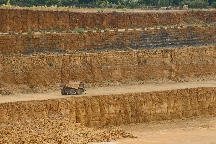
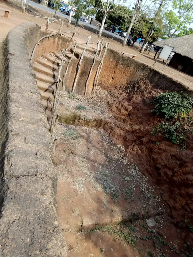
The Kétou Plateau in southeastern Benin stretches along the border with Nigeria and is a geographically and historically significant region. Situated at an average elevation of 100 to 200 meters, it consists primarily of sedimentary rocks and ferrallitic soils. Historically, Kétou is one of the oldest centers of Yoruba culture in Benin, famous for its massive city walls and traditional kingdom. The landscape is characterized by a mix of agriculture and remnants of tropical rainforests, with the cultivation of oil palms, maize, and cassava forming the economic base. Geomorphologically, the plateau forms a gentle step that descends southward into the coastal lowlands. The climate is humid tropical with two rainy seasons, enabling year-round agricultural use. Today, the plateau is an important hub for cross-border trade with Nigeria while preserving its cultural identity through traditional ceremonies and festivals of the Yoruba population.
Best time to visit & climate
The most pleasant time to visit is Jan, Nov, Dec.
| Jan | Feb | Mar | Apr | May | Jun | Jul | Aug | Sep | Oct | Nov | Dec | |
|---|---|---|---|---|---|---|---|---|---|---|---|---|
| Avg °C | 25 | 27 | 28 | 27 | 27 | 26 | 25 | 25 | 25 | 26 | 26 | 26 |
| Rain mm | 21 | 29 | 66 | 115 | 161 | 203 | 216 | 176 | 275 | 179 | 36 | 14 |
📋 Practical info
Geography
Facts
- Average elevation ranges from 100 to 200 meters
- Historical heartland of Yoruba culture
- Soils consist of fertile ferrallitic clay
- Key border region adjacent to Nigeria
- Major location for oil palm plantations
- Former seat of a powerful Yoruba kingdom
Explore nearby
Notable places around
Route planner — Car & Motorhome
Where do you start? We build the route here, with stops and country notes along the way.
© OpenStreetMap contributors · OpenRouteService
Sights in the town Kétou Plateau (1)
Sights nearby
Frequently asked questions
What is Kétou-Plateau?
How do you reach the plateau?
Are there viewpoints?
Is the visit physically demanding?
What should you bring?
Kétou Plateau: where is it located?
Kétou Plateau: when is the best time to visit?
Kétou Plateau: why is it worth visiting?

Nature
More places