Plizio Visual Lab
Checker Hall
ℹ️Practical info — Checker Hall
▾
🌤 Weather — 5 days
📍 Nearby
Sights nearby
💡 Tips
- Rent a car to easily explore the rugged northern coast, as bus services in Saint Lucy can be infrequent.
- Visit the nearby Animal Flower Cave early in the day to avoid the heat and the midday tour groups.
- Stock up on essentials at a supermarket in Speightstown before heading up, as local shops are small and basic.
- Drive carefully on the narrow parish roads, watching out for local pedestrians and stray animals.
- Bring sturdy footwear if you plan to walk along the nearby rugged cliffs.
🍽 Food
Try the national dish at a local rum shop or small eatery in the parish.
A classic Bajan side dish often available at roadside food stalls near the coast.
Grab a bag of spicy fish cakes from local bakeries or village rum shops.
🛍 Shopping · 🧘 Quiet spots
Look out for local farm stands or vendors along the main roads for fresh seasonal fruits.
The neighborhood rum shops are great for picking up cold drinks and simple snacks.
Take a walk along the rugged coastal edges for uncrowded, spectacular ocean views.
A nearby quiet coastal spot, great for a relaxed afternoon off the main tourist trail.
Water temperature…
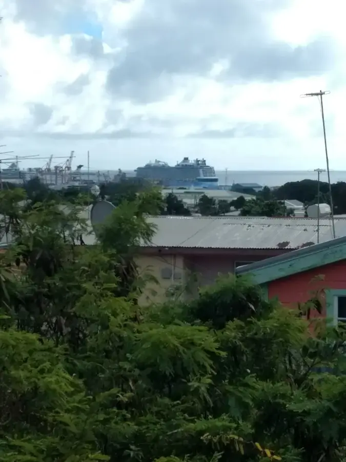
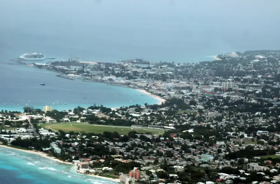
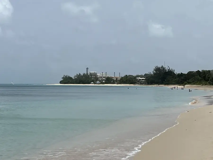
Checker Hall is a quintessential Barbadian settlement located in the northern parish of Saint Lucy, an area known for its rugged coastline and authentic atmosphere. The village sits in the shadow of the Arawak Cement Plant, which provides a stark industrial contrast to the surrounding natural beauty and serves as a key local employer. Despite its industrial neighbor, Checker Hall remains a quiet residential haven, offering access to secluded, rocky coves and small beaches that are favorites among local residents. The village is an essential waypoint for travelers heading toward the northernmost tip of Barbados to visit attractions like the Animal Flower Cave and the dramatic cliffs of North Point. Life in Checker Hall is deeply rooted in local tradition, with a mix of historic chattel houses and more modern residences dotting the landscape. Its elevated position in some areas provides beautiful views over the Caribbean Sea, making it a peaceful place to witness the island's spectacular sunsets while enjoying the cool northwestern breezes.
- Location: Barbados
- Top sights: Six Men's Bay, Barbados · Heywoods Beach · Port Saint Charles
- Nearby: Sion Hill (4 km)
- Population: ~1.382 (2026)
Best time to visit & climate
The most pleasant time to visit is Jan–Mar.
| Jan | Feb | Mar | Apr | May | Jun | Jul | Aug | Sep | Oct | Nov | Dec | |
|---|---|---|---|---|---|---|---|---|---|---|---|---|
| Avg °C | 26 | 26 | 26 | 27 | 28 | 28 | 28 | 28 | 28 | 28 | 28 | 27 |
| Rain mm | 25 | 16 | 17 | 24 | 48 | 66 | 63 | 85 | 91 | 122 | 94 | 38 |
Geography
Facts
- Population: 300.
- Elevation: 40 m above sea level.
- Church built: 1885.
- Plantation founded: 1700.
- Area: 1 km².
- Annual rainfall: 1,100 mm.
Explore nearby
Notable places around
Route planner — Car & Motorhome
Where do you start? We build the route here, with stops and country notes along the way.
© OpenStreetMap contributors · OpenRouteService
Sights in the town Checker Hall (3)
Frequently asked questions
Where is Checker Hall?
Is the trip worth it?
Is it safe?
How is the infrastructure?
What can you do?
Checker Hall: where is it located?
Checker Hall: what is there to see?
Checker Hall: when is the best time to visit?
Checker Hall: why is it worth visiting?

Nearby cities