Plizio Visual Lab
Archer's Bay

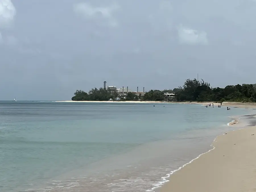
Archer's Bay is a remarkable, rugged coastal gem located in the northernmost parish of Saint Lucy, Barbados. Far removed from the calm, turquoise waters of the island's tourist centers, this bay showcases the raw, untamed power of the Atlantic Ocean as it crashes against jagged coral cliffs. To reach the shoreline, visitors must pass through a tranquil grove of casuarina trees, which provides a cooling canopy and a popular spot for traditional Bajan picnics. From the clifftop, the views are panoramic, capturing the dramatic meeting point of the Caribbean and Atlantic currents. While the treacherous swells and sharp rocks make the water unsafe for swimming, the area is a favorite for nature photographers and those seeking a peaceful escape into the wild. During the winter months, eagle-eyed visitors might even spot whales breaching in the distance, adding to the majestic and remote atmosphere of this northern sanctuary.
- Location: Barbados
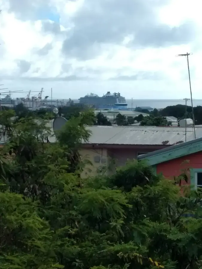
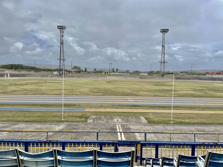
- Top sights: Mount Gay North Stars Cricket Ground · Crab Hill, Barbados · Harrison Point Lighthouse
- Nearby: Battaleys (5 km)
Best time to visit & climate
The most pleasant time to visit is Jan–Mar.
| Jan | Feb | Mar | Apr | May | Jun | Jul | Aug | Sep | Oct | Nov | Dec | |
|---|---|---|---|---|---|---|---|---|---|---|---|---|
| Avg °C | 26 | 26 | 26 | 27 | 28 | 28 | 28 | 28 | 28 | 28 | 28 | 27 |
| Rain mm | 25 | 16 | 17 | 24 | 48 | 66 | 63 | 85 | 91 | 122 | 94 | 38 |
📋 Practical info
Geography
Facts
- Width: 200 m
- Water depth: 1-4 m
- Visibility: 15 m
- Water temperature: 27 °C
- Number of villas: 10
- Distance to Speightstown: 3 km
Explore nearby
Notable places around
Route planner — Car & Motorhome
Where do you start? We build the route here, with stops and country notes along the way.
© OpenStreetMap contributors · OpenRouteService
Sights in the town Archer's Bay (3)
Sights nearby
Frequently asked questions
What makes Archer's Bay special?
Can you swim in Archer's Bay?
Are there picnic spots?
What is the path down to the beach like?
Do I need a 4x4 vehicle to get there?
Archer's Bay: where is it located?
Archer's Bay: what is there to see?
Archer's Bay: when is the best time to visit?
Archer's Bay: why is it worth visiting?

Nearby cities