Plizio Visual Lab
Karnaphuli River
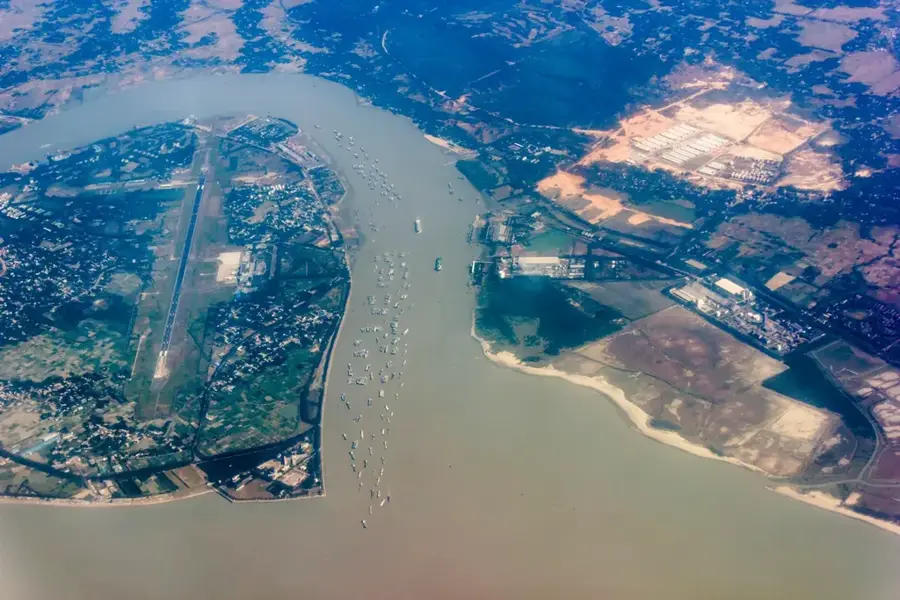
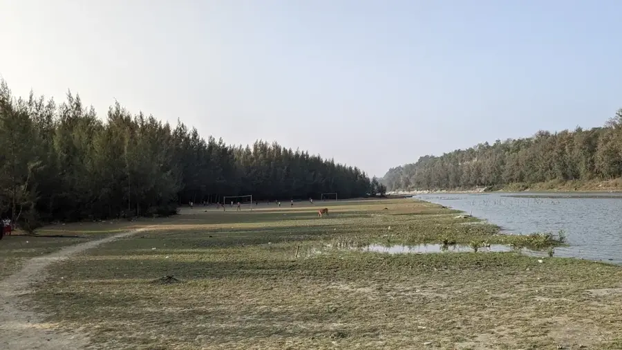
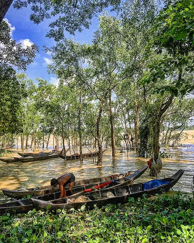
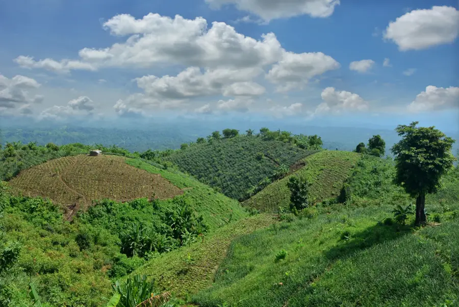
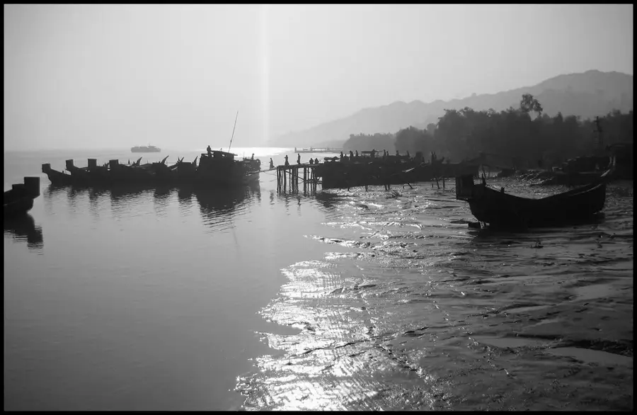
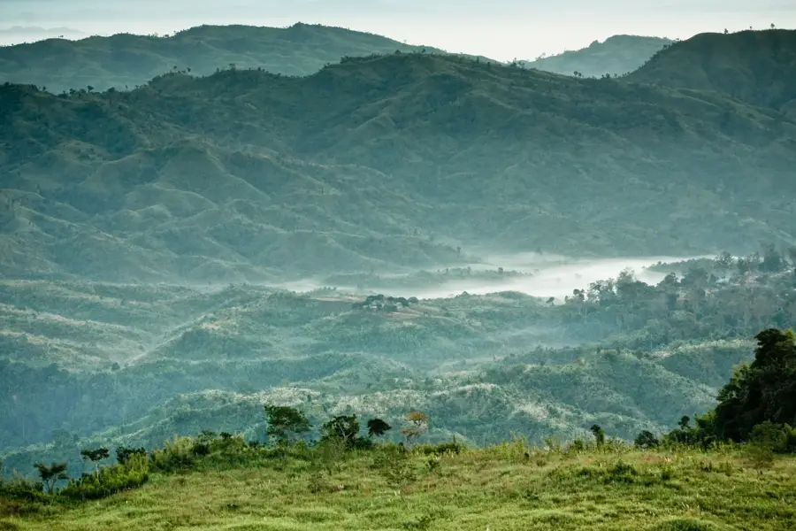
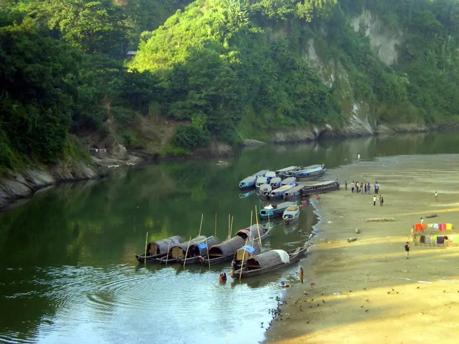
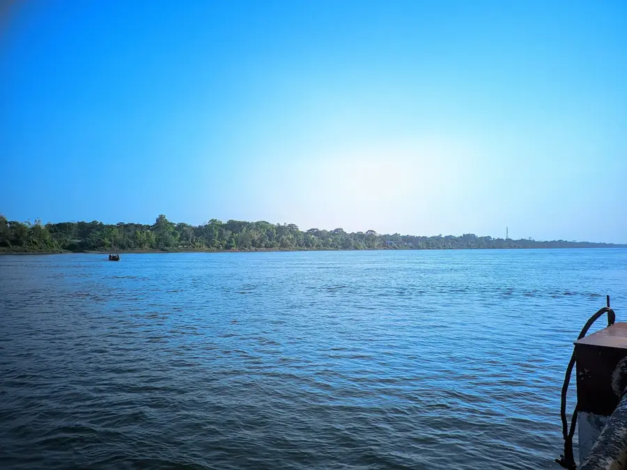
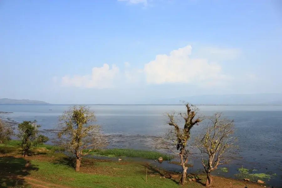
The Karnaphuli River is the most significant waterway in southeastern Bangladesh, originating in the Lushai Hills of Mizoram, India. It flows through the Chittagong Hill Tracts before emptying into the Bay of Bengal near the city of Chittagong. The river is of paramount strategic and economic importance as it hosts the Port of Chittagong at its mouth, which handles over 90 percent of Bangladesh's international maritime trade. In the 1960s, the country's only hydroelectric dam was constructed at Kaptai, creating the massive Kaptai Lake and providing a substantial portion of the national electricity supply. Ecologically, however, the river is under severe stress due to industrial discharge and heavy shipping traffic, leading to significant pollution levels. Recent years have seen major dredging initiatives to maintain navigability for large container vessels. The completion of the Bangabandhu Sheikh Mujibur Rahman Tunnel beneath the Karnaphuli marks another significant infrastructural milestone aimed at enhancing regional economic connectivity.
- Location: Bangladesh
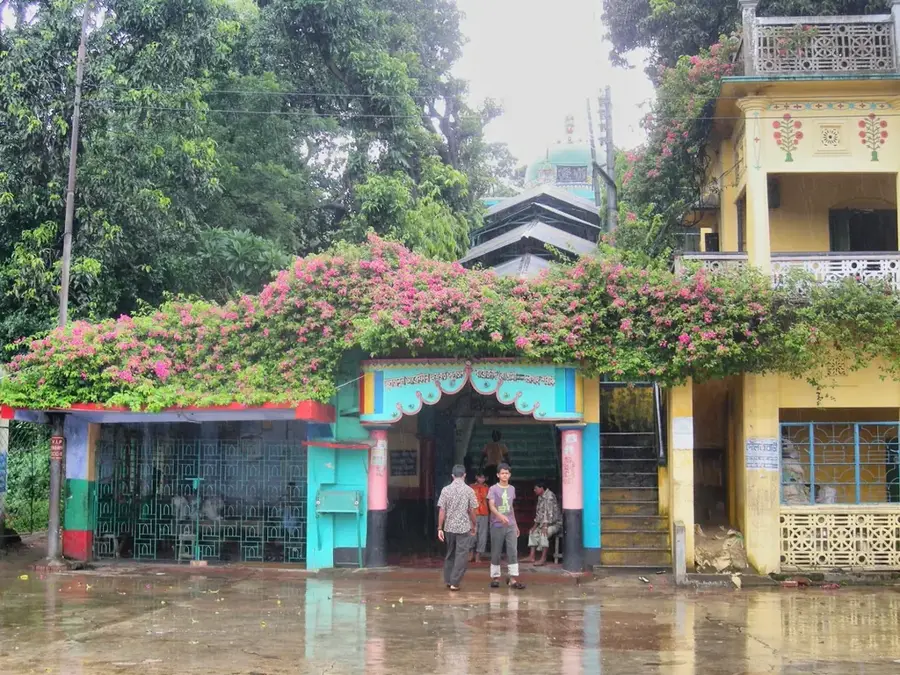
- Top sights: Daulatpur Fultola., Tourist attraction, Kornofuli, Daulatpur, Chattogram · Chittagong Dry Dock Mosque, Airport Rd, Chattogram · Temporary ansar camp laldiarchar masjid, Incontrade Ltd, Potenga Rd, Chattogram
- Nearby: Sonadia Island (8 km)
Best time to visit & climate
The most pleasant time to visit is Jan, Feb, Dec.
| Jan | Feb | Mar | Apr | May | Jun | Jul | Aug | Sep | Oct | Nov | Dec | |
|---|---|---|---|---|---|---|---|---|---|---|---|---|
| Avg °C | 19 | 22 | 26 | 28 | 29 | 28 | 28 | 28 | 28 | 27 | 25 | 21 |
| Rain mm | 10 | 39 | 62 | 171 | 428 | 749 | 1138 | 732 | 508 | 400 | 89 | 14 |
📋 Practical info
Geography
Facts
- The Port of Chittagong on the Karnaphuli was mentioned as early as the 9th century.
- The Kaptai Dam has an installed capacity of 230 megawatts.
- The total length of the river is approximately 270 kilometers.
- The Karnaphuli Tunnel is the first underwater tunnel in South Asia.
- The river serves as the lifeline for Chittagong's garment industry.
- At its mouth, the river is approximately 600 to 800 meters wide.
Explore nearby
Notable places around
Route planner — Car & Motorhome
Where do you start? We build the route here, with stops and country notes along the way.
© OpenStreetMap contributors · OpenRouteService
Sights in the town Karnaphuli River (6)
Sights nearby
Frequently asked questions
Where does the Karnaphuli flow?
What does the name Karnaphuli mean?
Is there a dam?
Can you visit the port?
Is there a tunnel under the river?
Karnaphuli River: where is it located?
Karnaphuli River: what is there to see?
Karnaphuli River: when is the best time to visit?
Karnaphuli River: why is it worth visiting?

History & landmarks
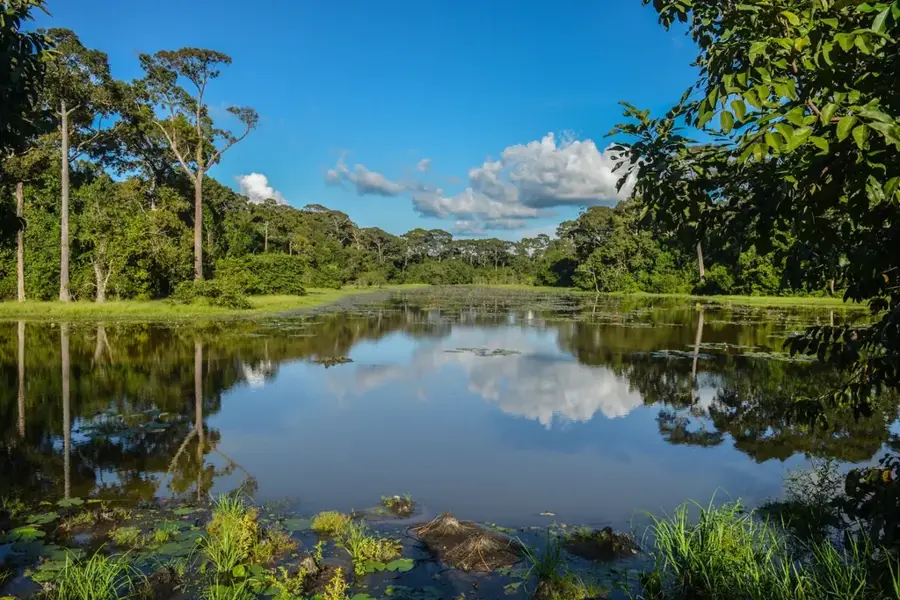
Nature
More places